BLM 8464

Total Miles1.2
Technical Rating
2Easy
Best TimeSummer
Trail TypeFull-Width Road
Accessible By
Open Trail Map

Trail Overview

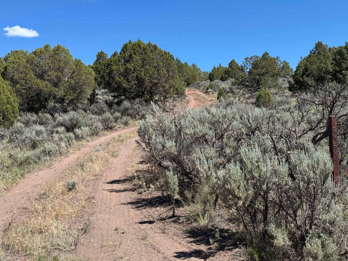
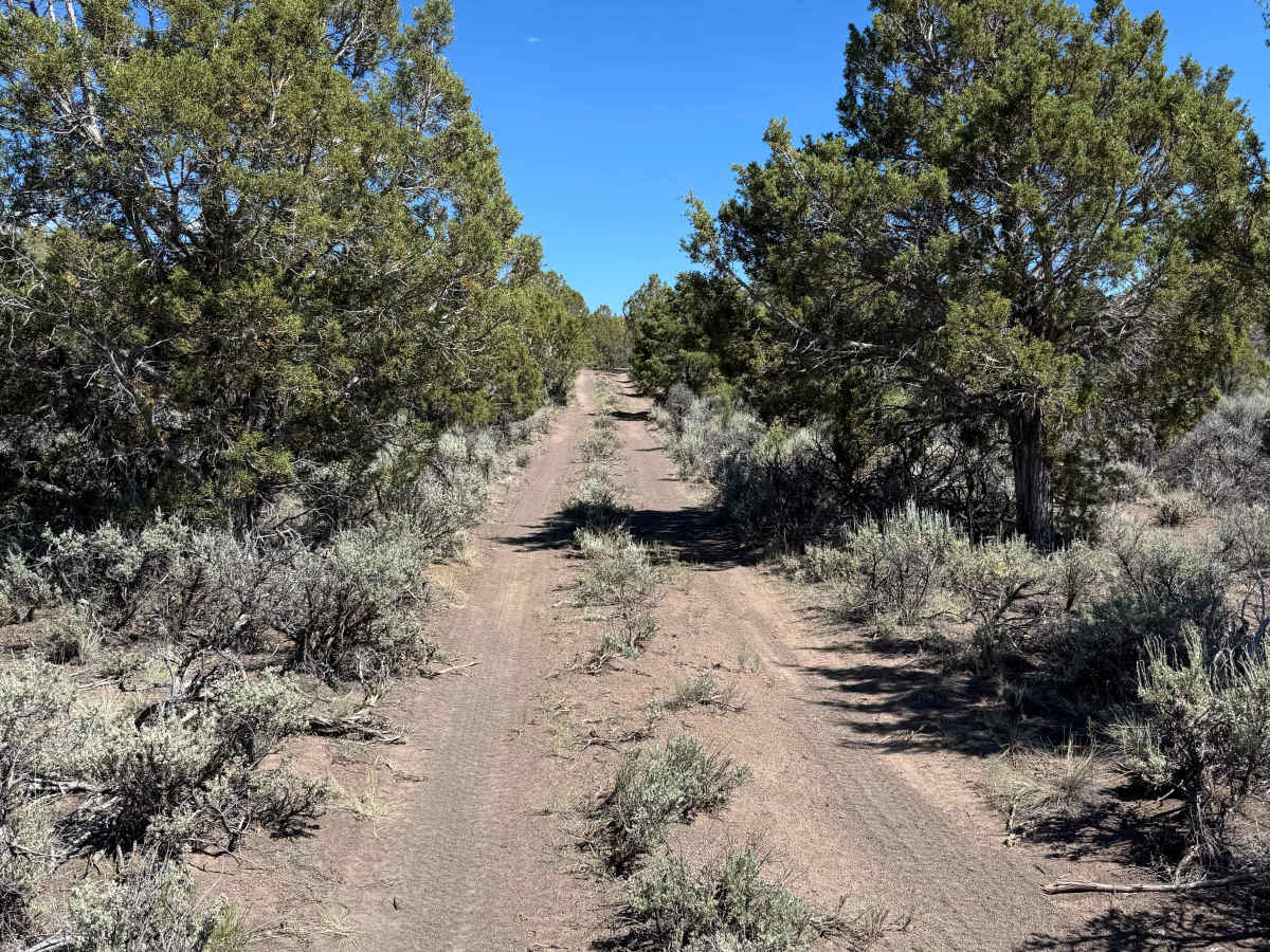
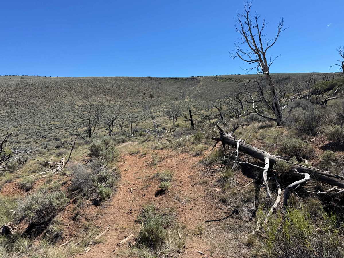
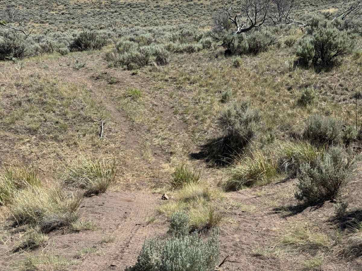
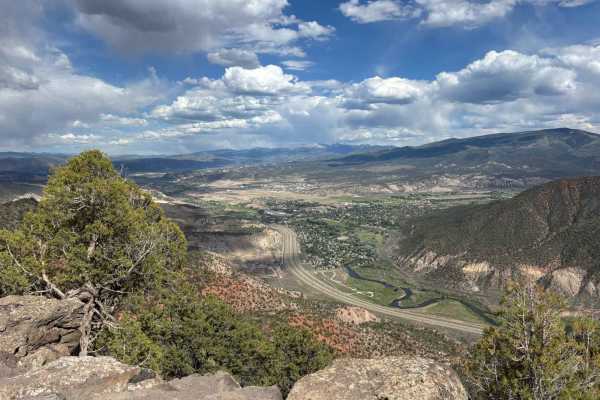
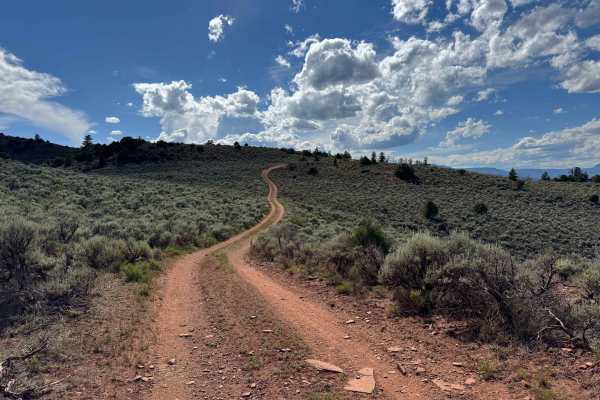
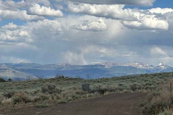
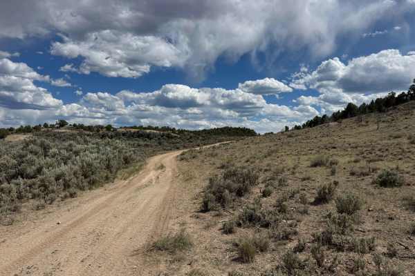
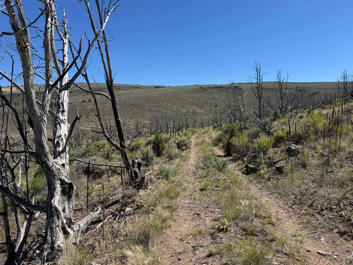
This lightly traveled BLM two-track winds through open terrain before passing through a section of burned forest and eventually connecting with another BLM route at its western end. The trail is generally easy to navigate in dry conditions and presents few obstacles for high-clearance vehicles. One low-lying crossing has the potential to hold fairly deep water when runoff is present, though it is typically dry during the periods when the route is open. Near the end of the trail, drivers will encounter a gate that must be opened and closed after passing through. Overall, this is a pleasant connector route with interesting scenery and minimal technical challenges.

Photos of BLM 8464

Difficulty

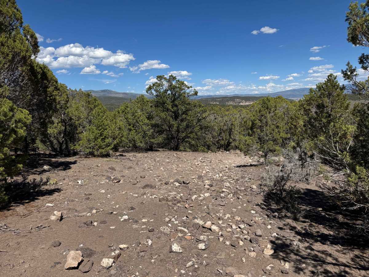
While this trail is not particularly difficult in dry conditions, drivers will encounter a few sections with loose dirt and a small rock garden that require some attention. Dirt bike riders should use extra caution, as the loose surface and scattered rocks can affect traction and handling. With reasonable care and favorable conditions, the trail is straightforward and should not present significant challenges.

Technical Rating

2

BLM 8464 Trail can be accessed by the following ride types:

  • Single Track
  • 50 Inch
  • 60 Inch
  • High Clearance
  • Full Width

BLM 8464 Map

The onX Offroad Difference

onX Offroad combines trail photos, descriptions, difficulty ratings, width restrictions, seasonality, and more in a user-friendly interface. Available on all devices, with offline access and full compatibility with CarPlay and Android Auto. Discover what you're missing today!

Open Trail Map