BLM 8462

Total Miles3.8
Technical Rating
3Easy
Best TimeSummer
Trail TypeFull-Width Road
Accessible By
Open Trail Map

Trail Overview

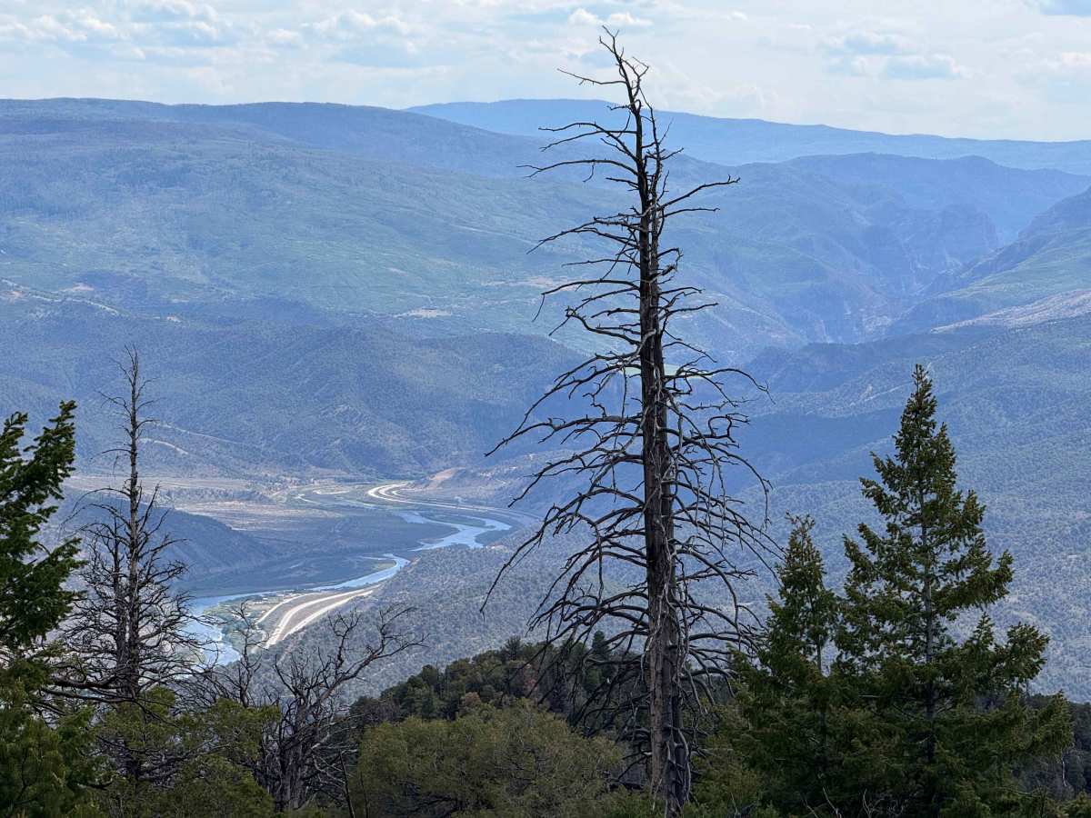
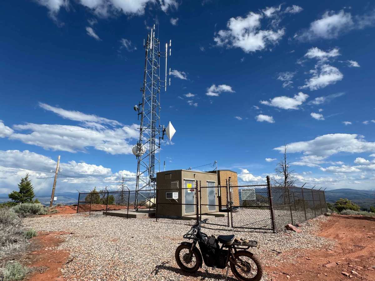
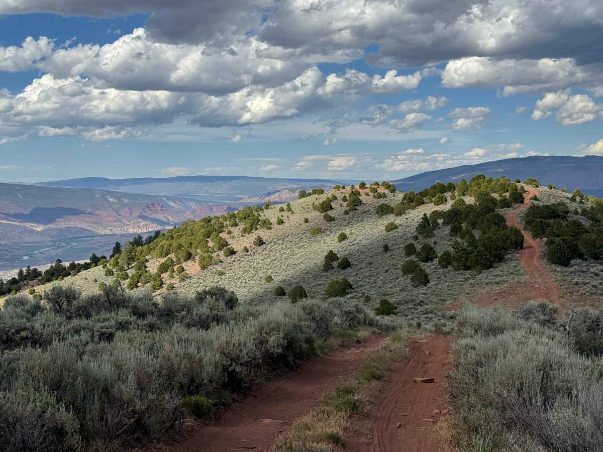
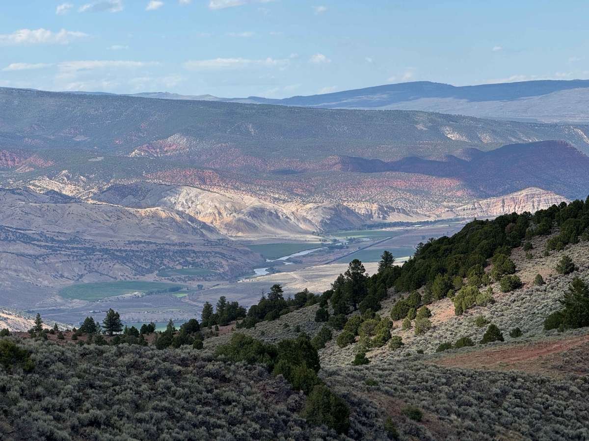
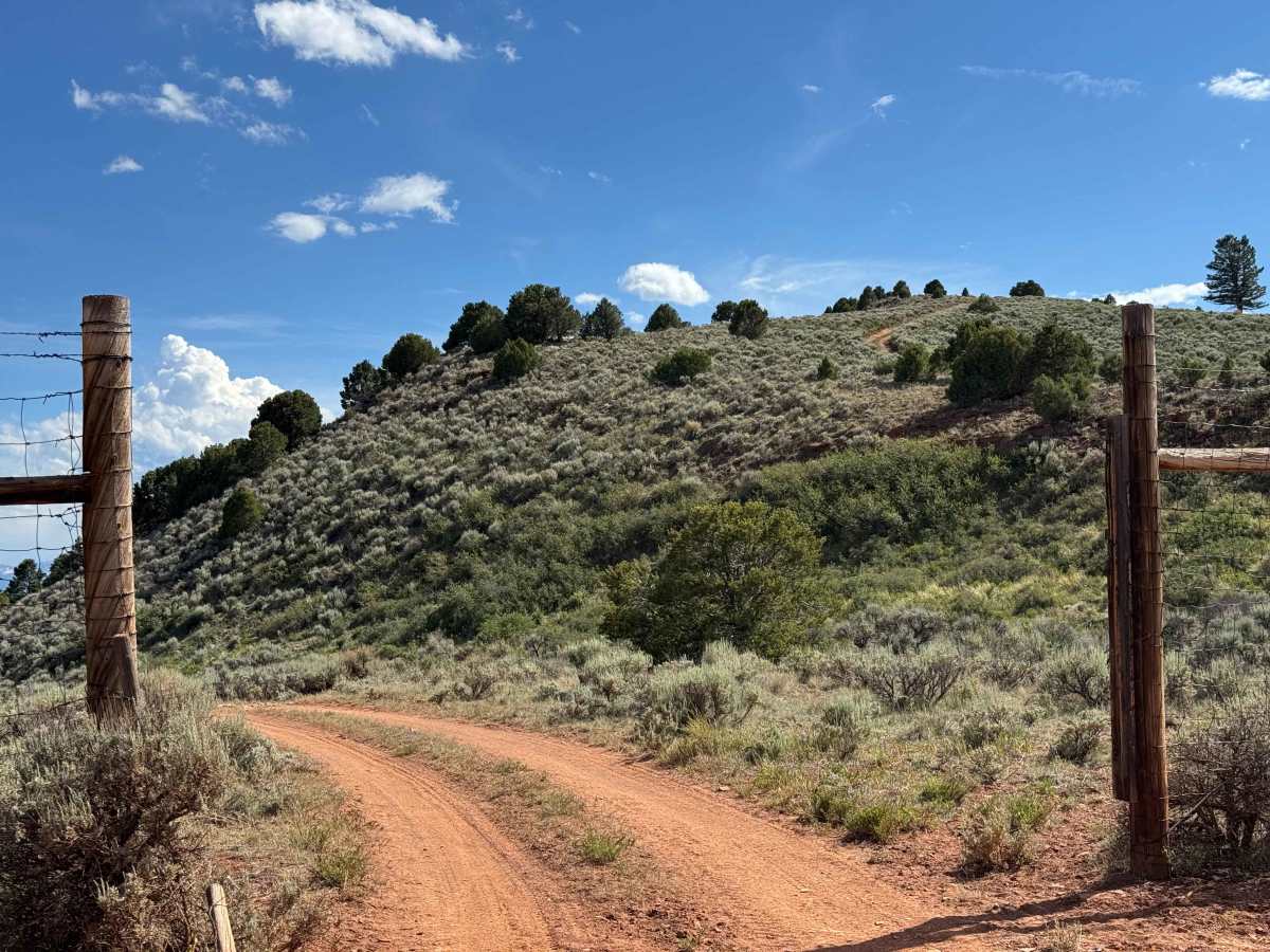
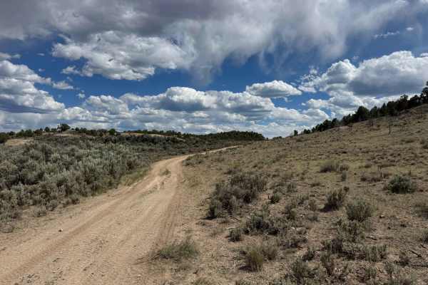
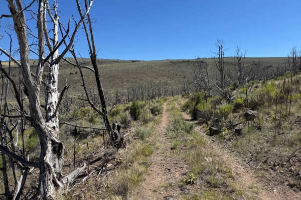
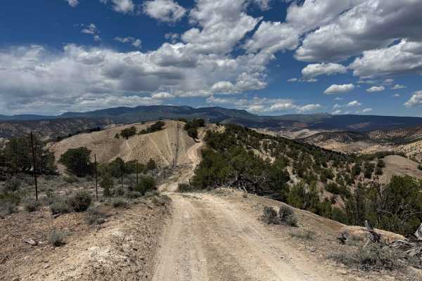
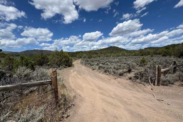
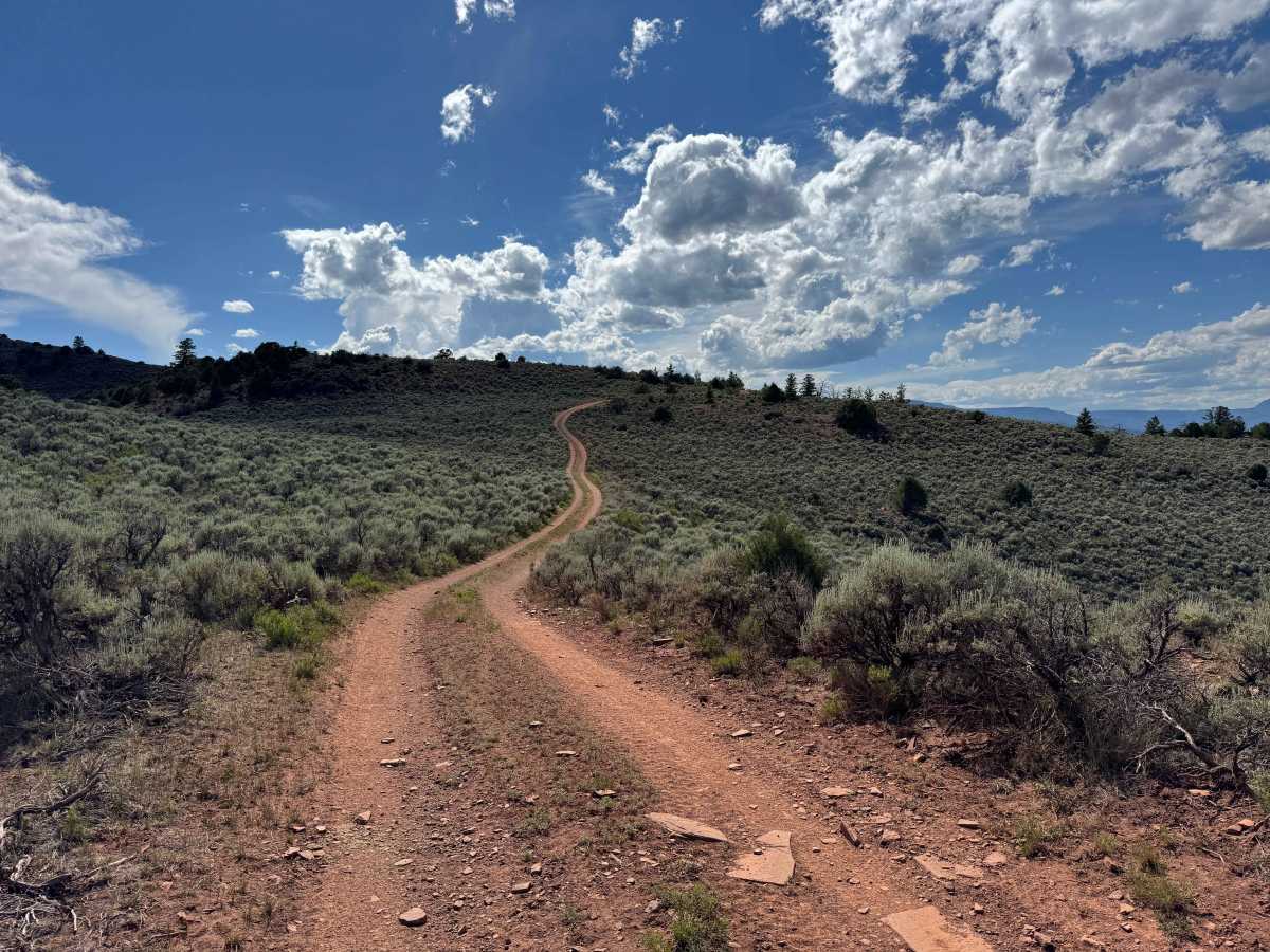
This scenic backcountry route is widely considered one of the two premier trails in the area, offering exceptional views and a rewarding mountain drive without significant technical challenges. While the trail is generally easy in dry conditions, 4WD is recommended in a few sections, and airing down your tires will improve both ride comfort and traction. The route steadily climbs through varied terrain, eventually reaching approximately 8,800 feet at the antenna site near the trail’s end. Wildlife sightings are common, and elk are frequently seen throughout this area. From the highest viewpoints, you’ll be treated to some of the most impressive panoramas in the region, with sweeping vistas of the Colorado River Valley, Glenwood Canyon, and the Vail Valley all visible from a single vantage point.

Photos of BLM 8462

Difficulty

Although this route is not particularly difficult in dry conditions, it does feature several steep climbs with loose rock that will require 4WD. Airing down your tires is highly recommended to improve traction, reduce wheel slip, and provide a more comfortable ride over the rougher sections.

Technical Rating

3

BLM 8462 Trail can be accessed by the following ride types:

  • Single Track
  • 50 Inch
  • 60 Inch
  • High Clearance
  • Full Width

BLM 8462 Map

The onX Offroad Difference

onX Offroad combines trail photos, descriptions, difficulty ratings, width restrictions, seasonality, and more in a user-friendly interface. Available on all devices, with offline access and full compatibility with CarPlay and Android Auto. Discover what you're missing today!

Open Trail Map