Trail Overview
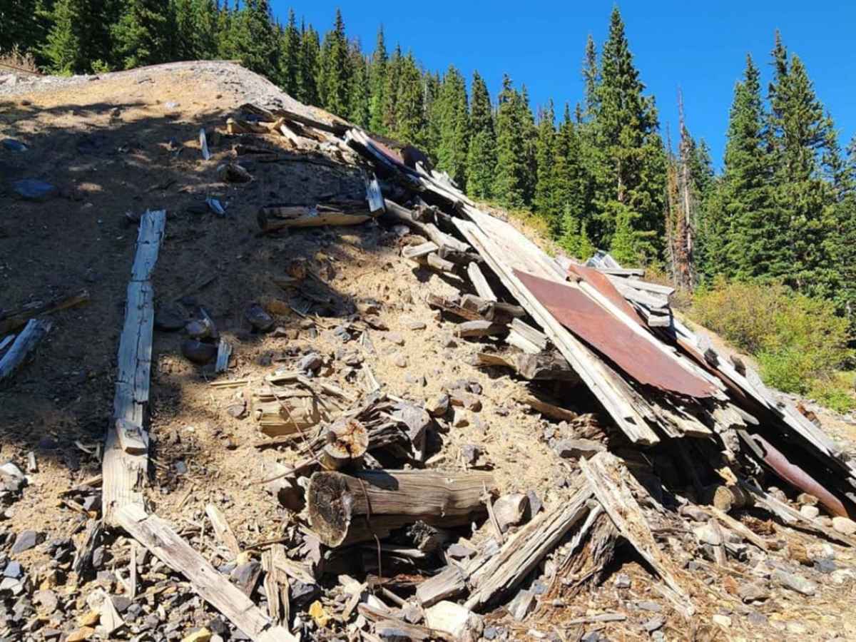
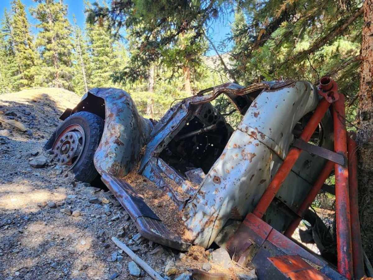
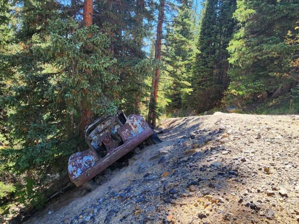
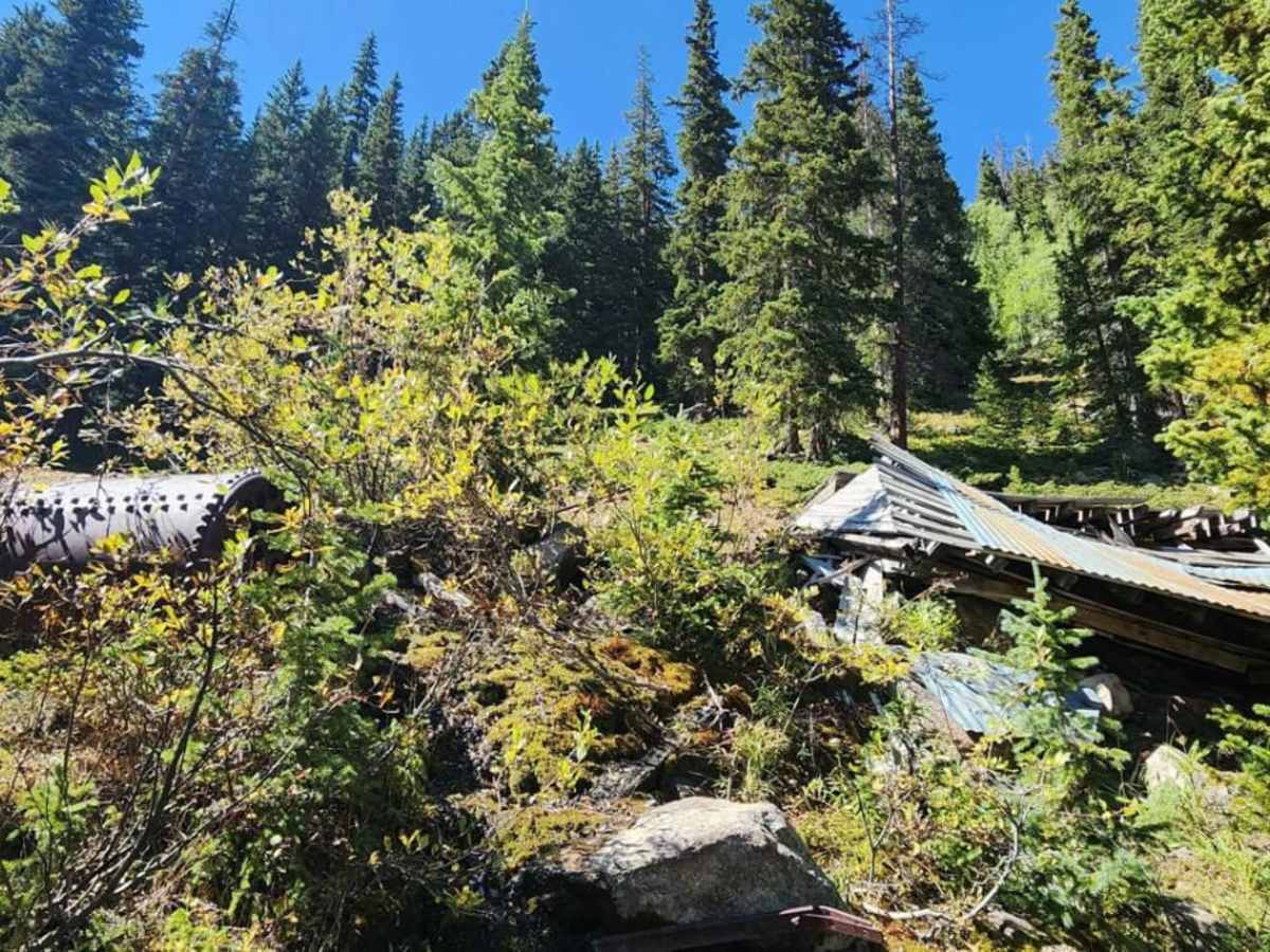
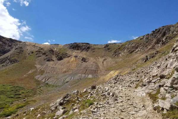
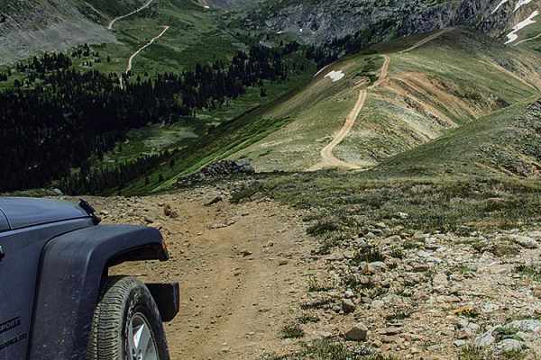
Chatauqua Mine Road is a short and rewarding historical spur trail off Montezuma-Deer Creek Road perfect for four-wheel-drive enthusiasts looking to explore Colorado's rich mining heritage. Spanning just under 0.9 miles, this rugged trail climbs 473 feet from an elevation of 10,977 feet to a peak of 11,451 feet, leading directly to the historic Lower Chatauqua Mine. The main attraction here is a classic vintage truck that rolled off the edge of the road years ago, sitting near a collapsed mine building. Navigating to this point requires a capable vehicle, as the trail earns a technical rating of 4 due to its rocky, uneven surface and moderate obstacles.
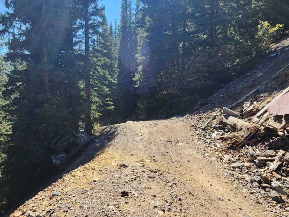
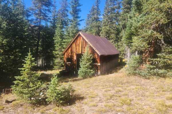
The trail features a primary surface of loose rock and dirt that frequently runs like an active stream during the spring and mid-summer snowmelt, demanding careful tire placement and reliable traction. To reach the trailhead from the town of Montezuma, drivers should head onto Montezuma-Deer Creek Road and take the first right option onto Forest Service Road 289. Although older maps indicate the road continues further up to the Upper Chatauqua Mine, the drivable route actually ends sooner, making the lower mine the final stop for motorized travel. From there, offroaders can set out on foot to discover several other unlabeled mining sites scattered throughout the surrounding alpine basin, making it an excellent destination for SxSs and high-clearance rigs.