Trail Overview
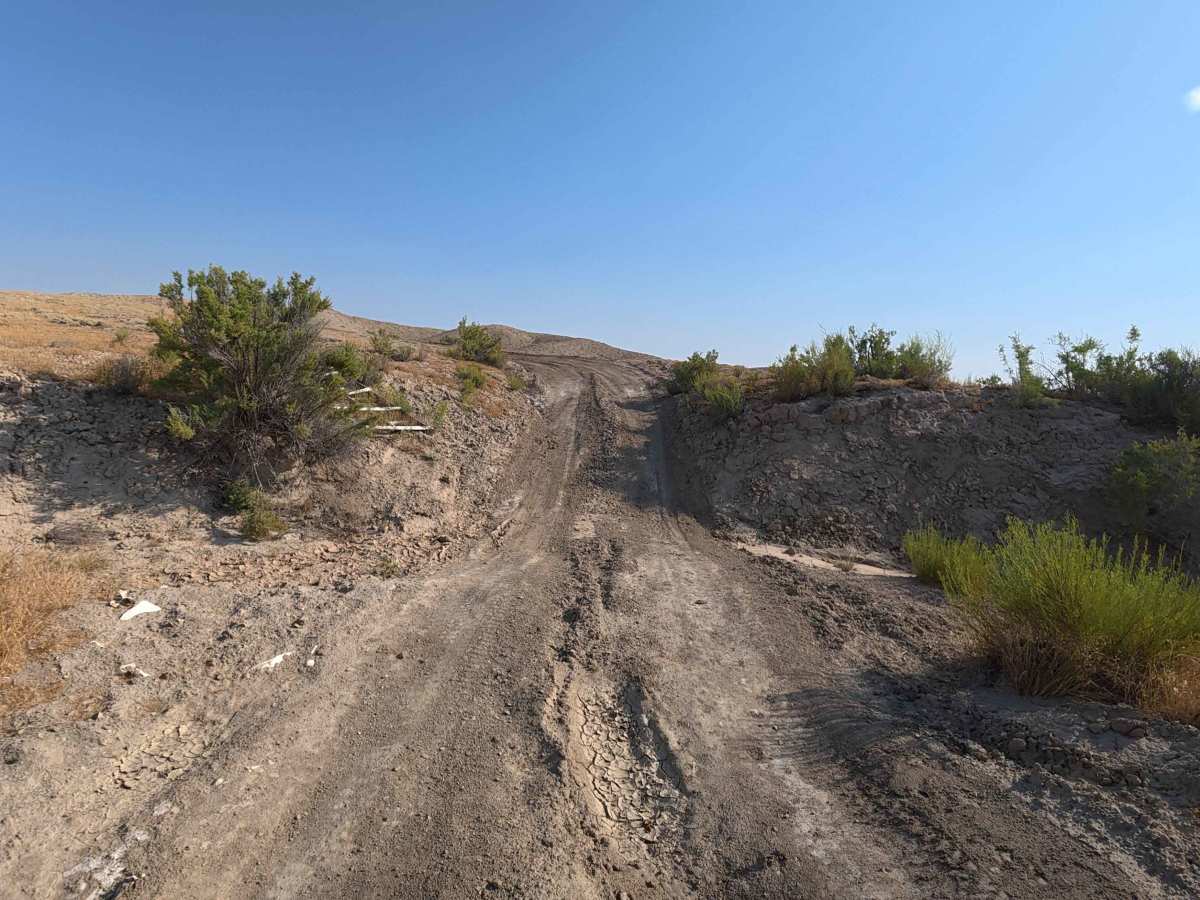
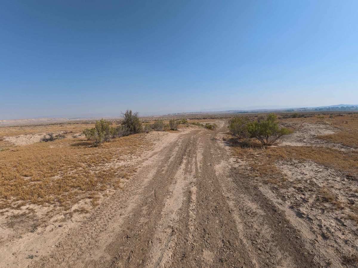
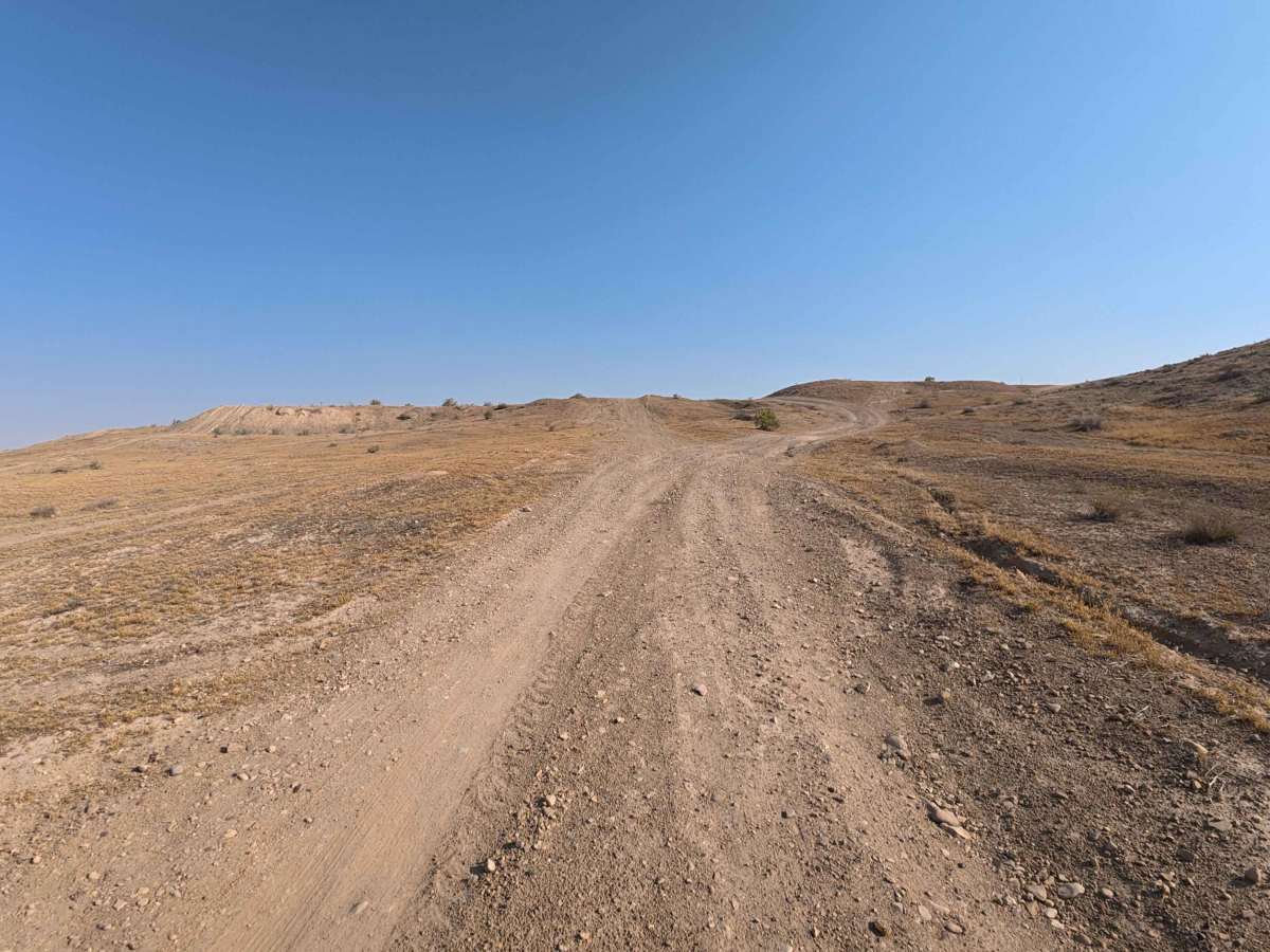
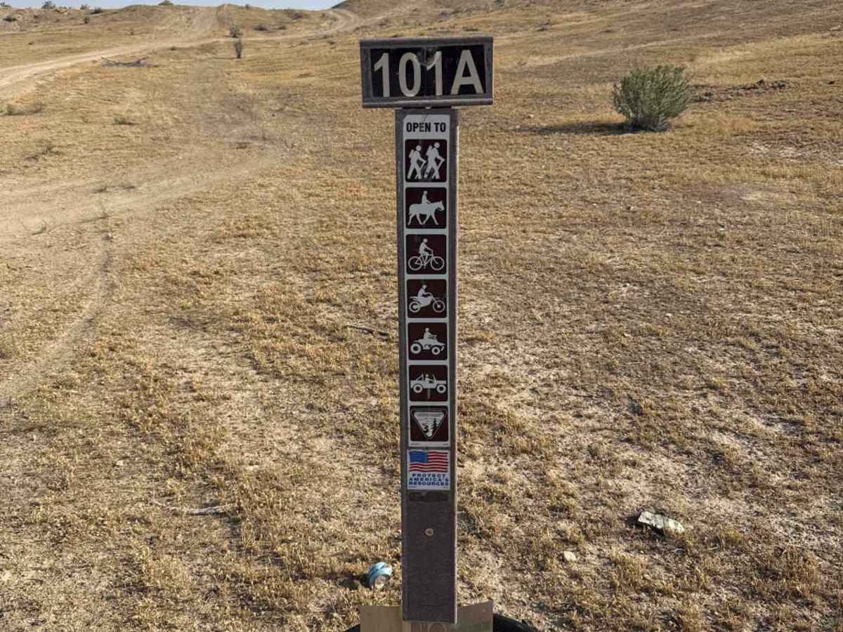
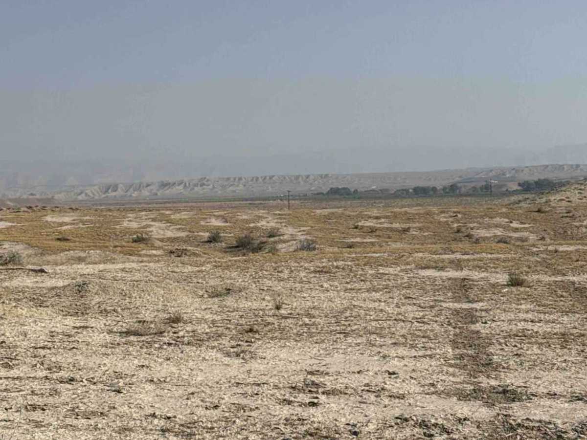
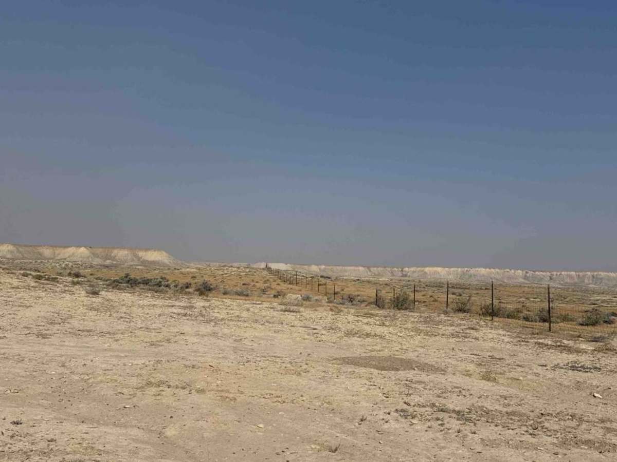
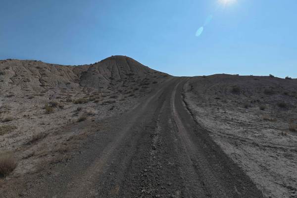
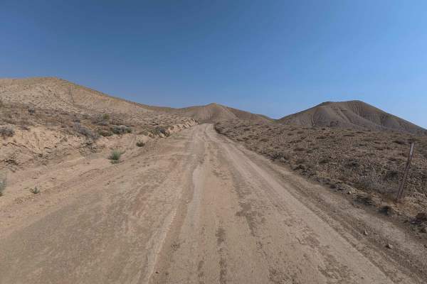
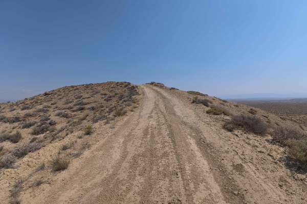
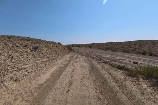
Accessed directly off paved M 8/10 Road, Bureau of Land Management 101A is a scenic 3.7-mile single-lane dirt trail that serves as a primary connector route for surrounding public land tracks. Set across rolling badland hills and open sagebrush flats managed by the Bureau of Land Management (BLM), this path climbs above the valley floor to showcase sweeping panoramas of the Book Cliffs. Off-roaders, outdoor enthusiasts, and hunters frequently travel this corridor to reach higher-elevation hunting zones, secure elevated primitive campsites, or navigate deeper into adjoining BLM tracks. The driving surface consists of fine, loose sand and silt featuring deep wheel ruts, rolling terrain whoops, and off-camber side slopes, earning a technical Grade 3 difficulty rating. Departing the paved road, the track immediately ascends into the hills over initial 2- to 5-inch ruts. As the trail winds upward, obstacles include steep sandy hill climbs, wash cuts alongside the roadway, and longitudinal ruts deepening to 8–10 inches alongside 5- to 10-degree side tilts. After navigating these technical ridge sections and passing prime view-filled campsite turnouts, the route connects into neighboring desert trails at 3.7 miles. Avoid traveling during wet weather, as the fine soil transforms into extremely slick mud.
Difficulty
Earning a technical Grade 3 difficulty rating, this 3.7-mile desert connector presents notable traction, clearance, and angle considerations. As shown in the photos, primary obstacles include deep 8- to 10-inch wheel trenches carved into soft silt, steep sandy hill climbs, and off-camber ridge shoulders tilting 5 to 10 degrees. Drivers should maintain steady momentum up loose inclines, carefully straddle central ruts to avoid high-centering underbody components, and pick elevated lines across tilted slopes. Travel should strictly be avoided during or after rain, as wet desert clay becomes impassable.

 Offroad