Trail Overview
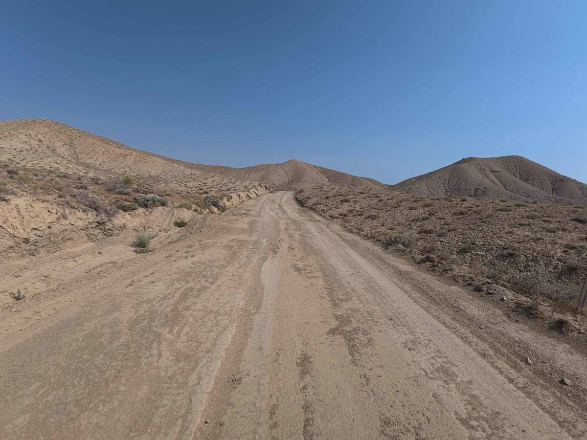
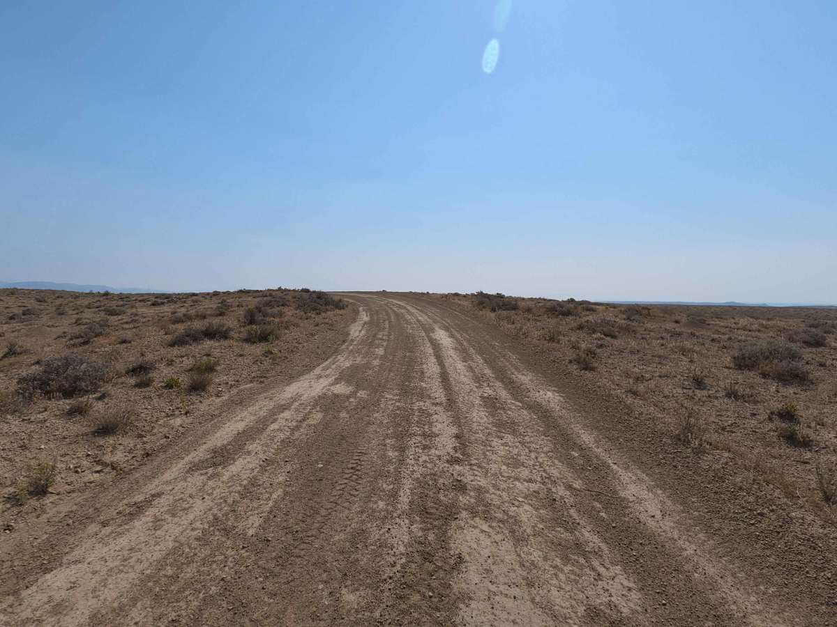
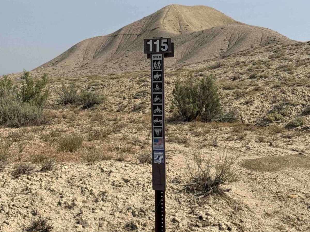
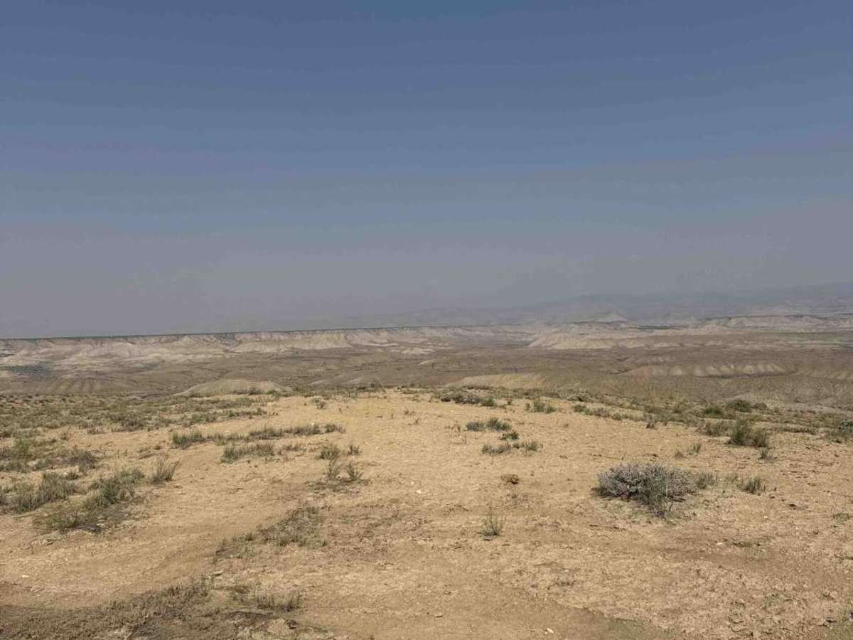
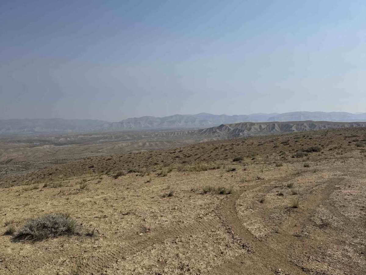
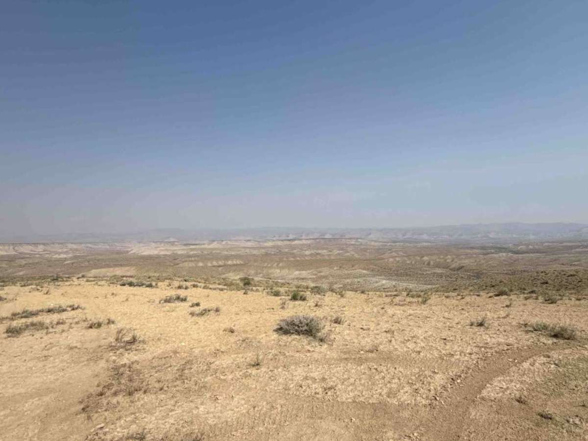
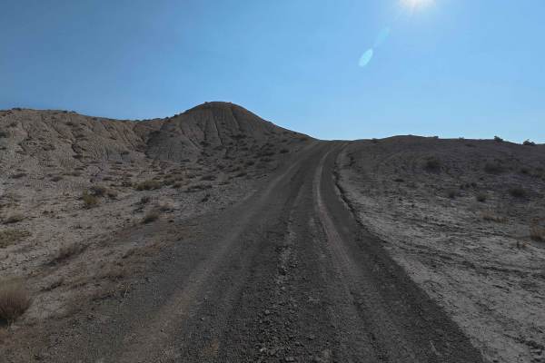
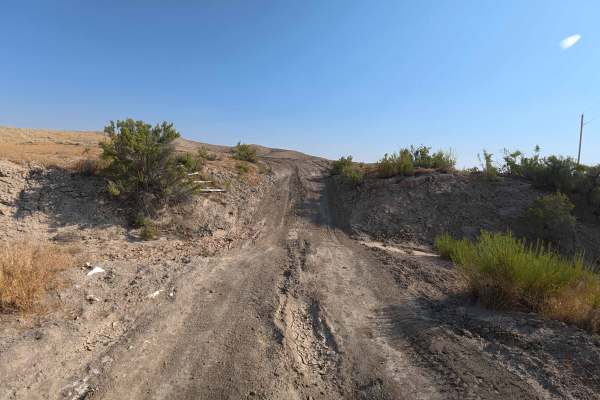
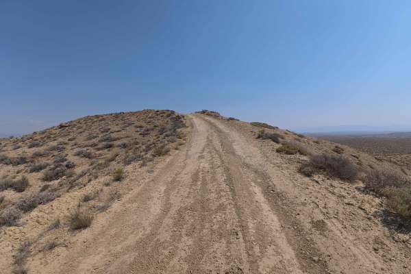
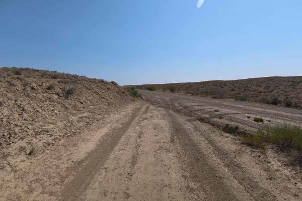
Set across an expansive high-desert badland environment characterized by rolling earthen hills and sagebrush flats managed by the Bureau of Land Management (BLM), BLM 115 offers a scenic and accessible desert drive. Accessed directly off paved County Road 4, this 3.6-mile dirt thoroughfare acts as a primary connector road providing access deeper into the local public land network. Recreators primarily explore this path to establish private dispersed campsites, take in sweeping vistas, or access surrounding desert trail systems. The road surface consists of a well-kept mix of fine dirt, soft sand, and light gravel with shallow ruts, earning a gentle Grade 2 difficulty rating. Leaving the pavement immediately without a formal staging lot, the path contours smoothly around the bases of nearby hills rather than ascending steep slopes, creating a gradual drive with gentle elevation shifts. Early stretches feature minor 2- to 3-inch wheel ruts while opening up to impressive panoramas of the Book Cliffs to the north and Rabbit Valley to the south. Further along, drivers will pass multiple view-filled primitive camping turnouts and cross a cattle guard before the route connects into neighboring BLM tracks. Travelers should avoid this trail during wet weather, as the fine clay substrate becomes exceptionally sticky and slick when wet.
Difficulty
Earning an accessible Grade 2 difficulty rating, this 3.6-mile desert track presents a firm dirt, sand, and gravel surface with minor 2- to 3-inch ruts. Technical rock obstacles, deep washouts, and steep hill climbs are absent under dry weather conditions, making the route easily manageable for most standard vehicles. Drivers should maintain steady momentum across soft sand patches, stay centered along established tracks, and open or close any livestock gates encountered. Traveling during or immediately following rainfall is strongly discouraged due to the extreme mud hazard created by saturated desert soil.

 Offroad