Trail Overview
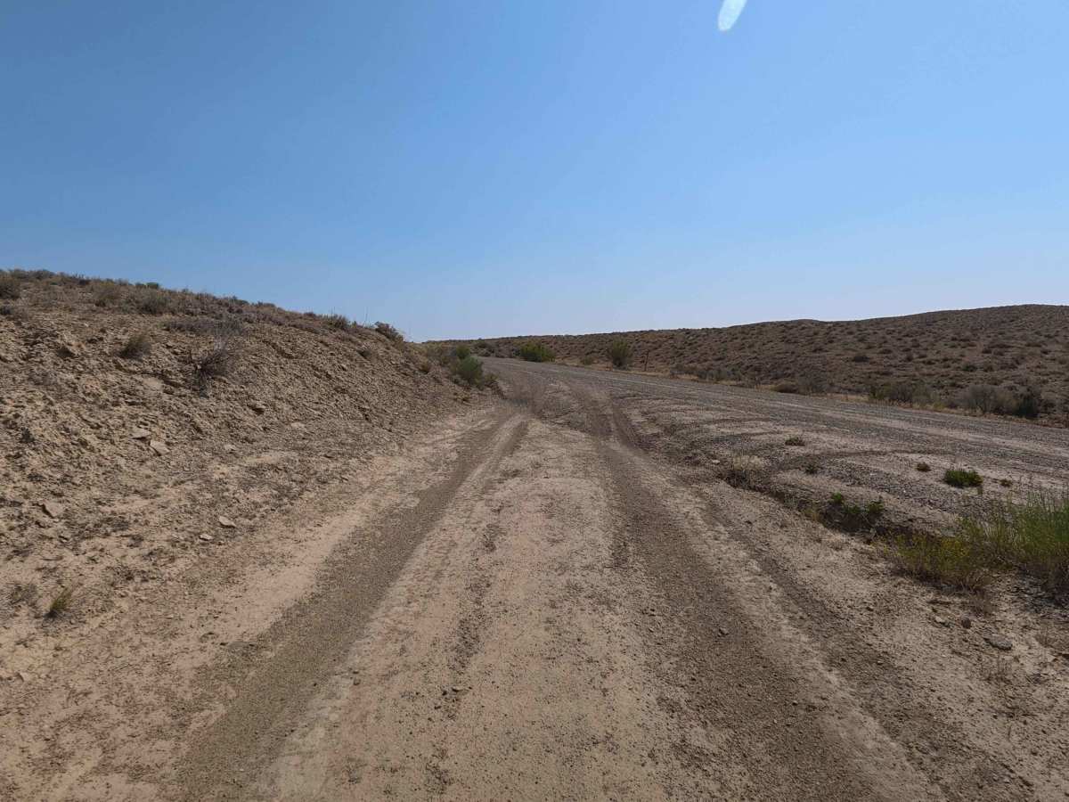
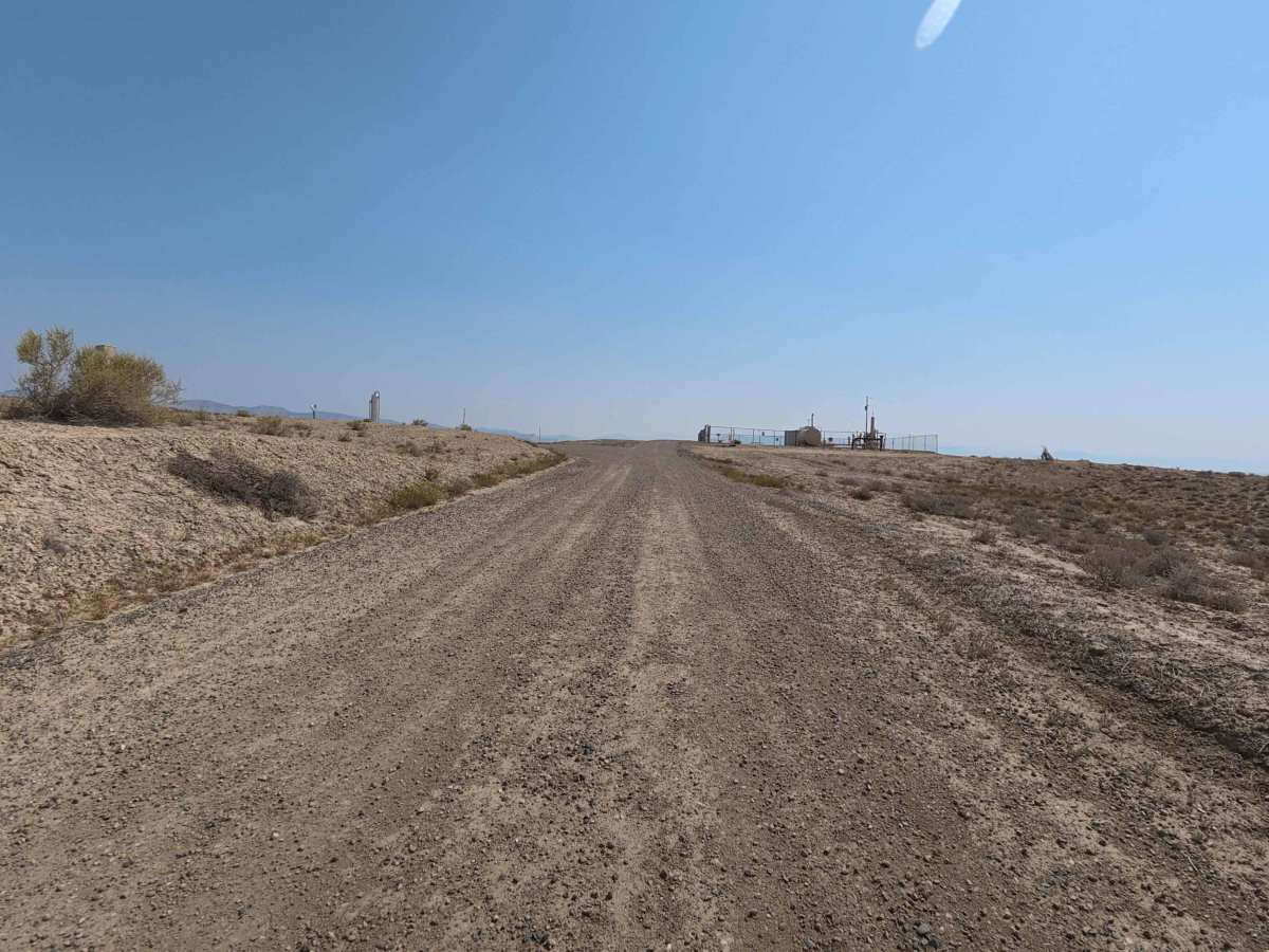
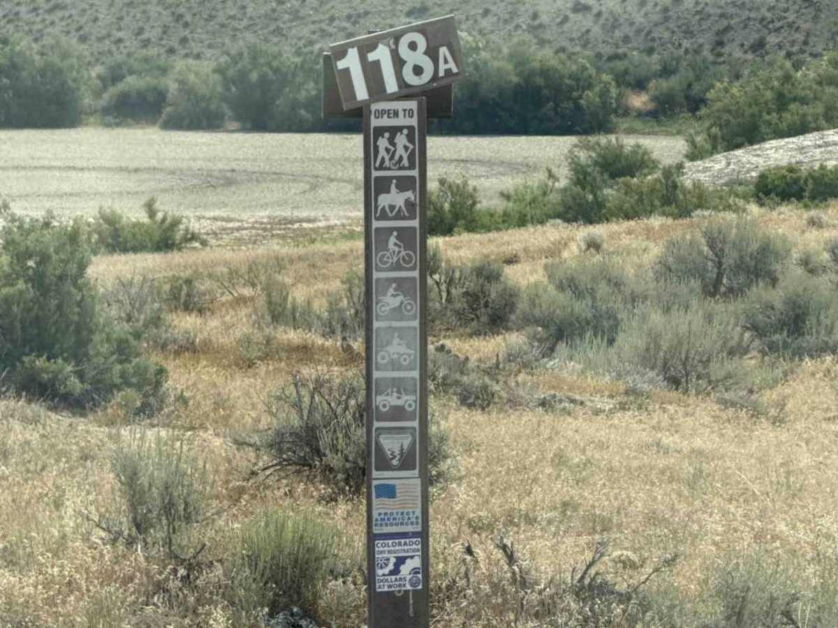
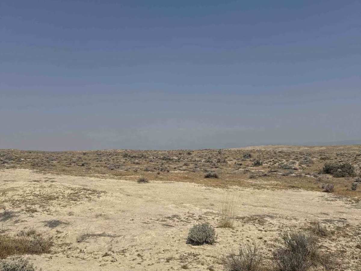
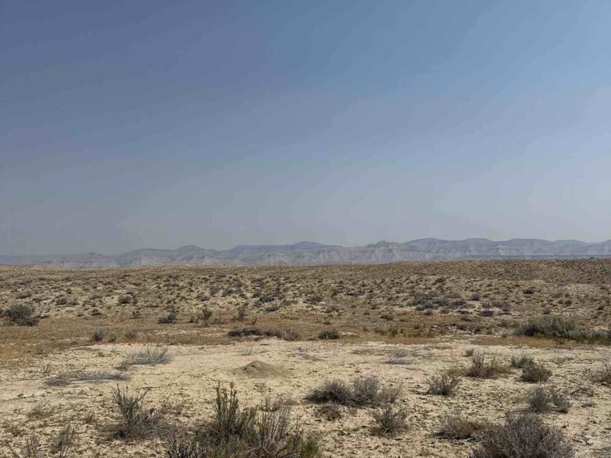
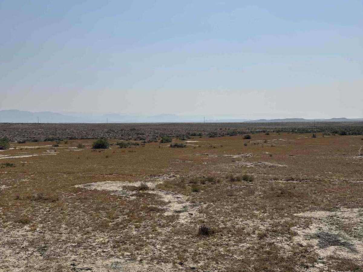
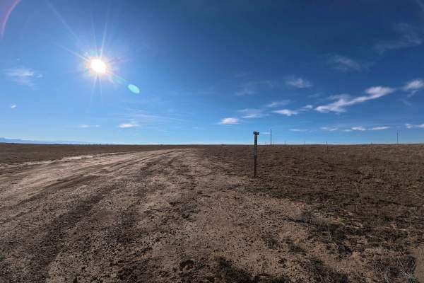
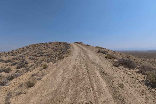
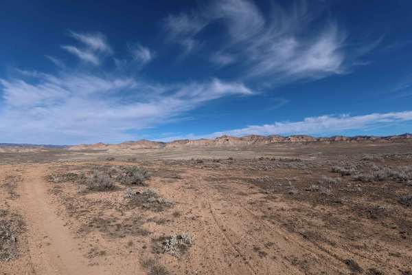
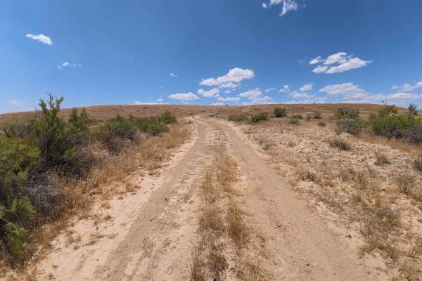
Set across an expansive high-desert badland landscape characterized by open sagebrush flats and rolling clay bluffs managed by the Bureau of Land Management (BLM), BLM 118A delivers a pleasant backcountry drive. Accessed directly off County Road 6.5, this 1.6-mile single-lane desert connector path provides seamless access deeper into surrounding public land routes. Recreationists and outdoor enthusiasts travel this track primarily to locate secluded primitive dispersed campsites, enjoy wide-open desert vistas, or link together neighboring off-road trail systems. The driving surface consists of extremely soft, powdery sand and fine silt marked by initial 6- to 8-inch wheel ruts, earning a beginner-friendly Grade 2 difficulty rating. Departing County Road 6.5, the route maintains a broad, gently undulating right-of-way as it crosses a cattle guard early in the drive. Roadside camping turnouts appear along the route, offering easy staging points amidst peaceful desert scenery. Drivers should strictly avoid traveling this route during or immediately following rainstorms, as the powdery silt substrate transforms into exceptionally sticky, unmanageable mud.
Difficulty
Earning an accessible Grade 2 difficulty rating, this 1.6-mile desert connector features a flat, straightforward surface composed of fine sand and powdery dirt with shallow 6- to 8-inch wheel ruts. Technical obstacles, steep hill climbs, and clearance-testing rock ledges are completely absent under dry conditions. Drivers should maintain a steady speed through soft, powdery patches, keep tires centered along established tracks when passing over the cattle guard, and refrain from traveling during wet weather when saturated desert soil turns into severe mud.