Trail Overview
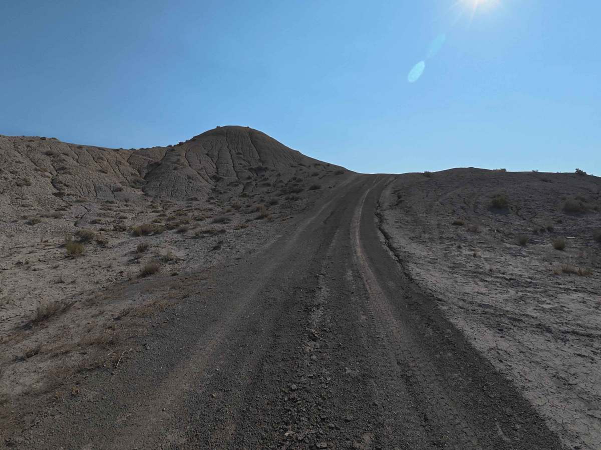
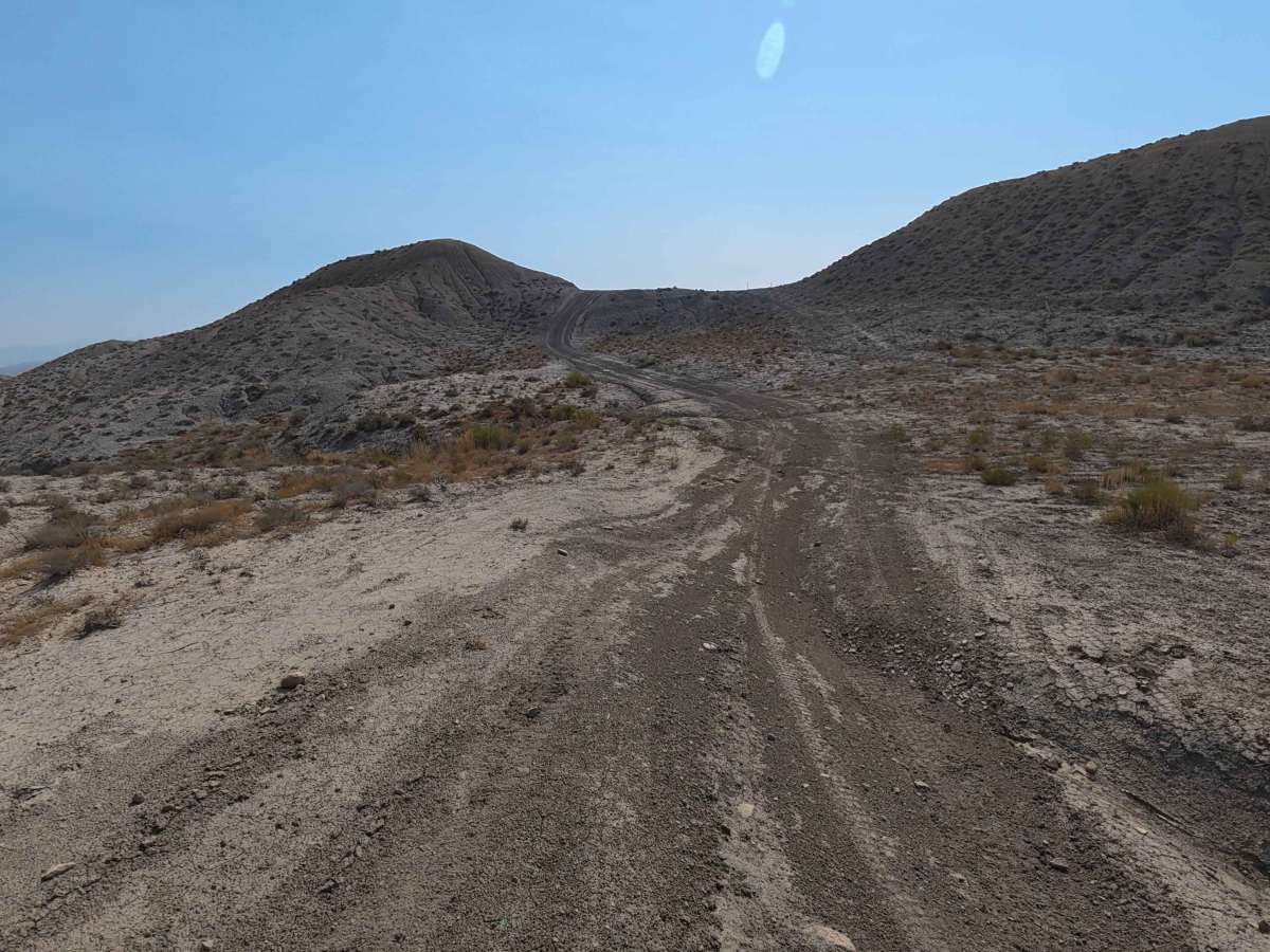
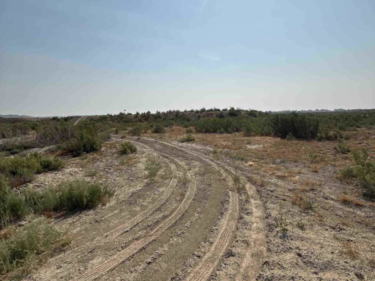
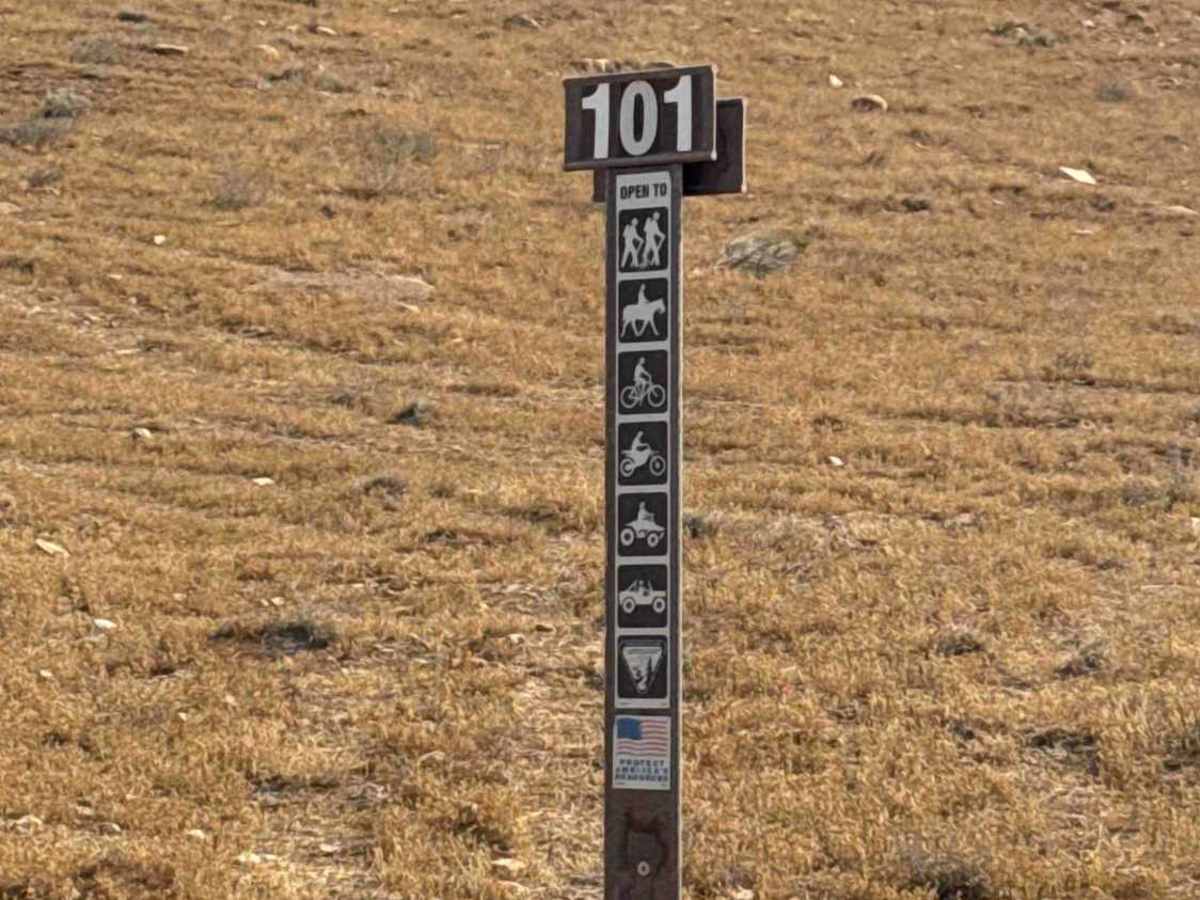
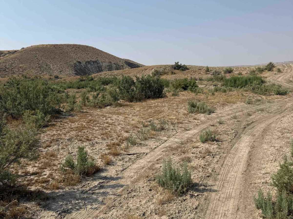
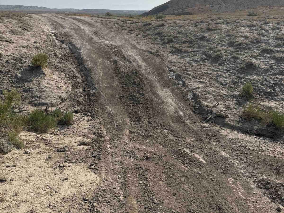
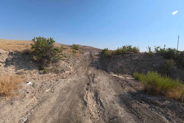
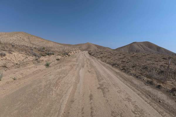
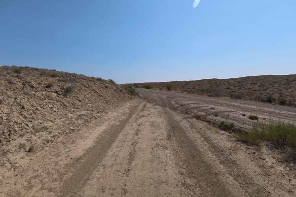
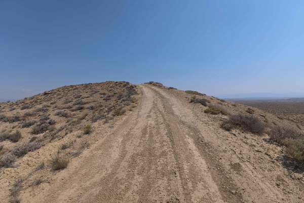
Set across an undulating arid badland landscape characterized by bare clay knolls and open sagebrush plains managed by the Bureau of Land Management (BLM), BLM 101 offers an adventurous backcountry trail. Accessed by traveling a 1.3-mile maintained county road off the main paved highway, this 2.6-mile single-lane dirt path functions as a connector route leading deeper into public land networks. Outdoor enthusiasts, hunters, and off-roaders explore this track to take in panoramic high-desert views, secure primitive dispersed campsites, or access remote hunting grounds. The driving surface consists of soft, powdery sand and fine silt marked by steep hill climbs, deep ruts, and washouts, earning a technical Grade 3 difficulty rating. Departing the county road, the route immediately launches into steep ascents and descents carved with 8- to 10-inch wheel ruts. As the terrain levels out further along, challenges transition to center washouts, soft silt beds, and a low-water wash crossing that can rise during wet seasons. Vehicles pulling trailers or hauling long setups should avoid this route due to sharp hill crests and tight turns. Drivers should strictly avoid this trail during or after rainstorms, as the fine clay substrate turns to severely sticky, impassable mud.
Difficulty
Earning a technical Grade 3 difficulty rating, this 2.6-mile route presents continuous terrain and traction challenges. As seen in the photos, primary obstacles include immediate steep hill climbs and descents over loose silt, 8- to 10-inch longitudinal wheel ruts, eroded wash ditches, and a dry creek bed dip that requires careful approach angle. Drivers should maintain steady momentum when ascending loose hills, straddle deep central ruts to safeguard underbody components, and pick elevated lines around washouts. Saturated clay soil makes travel extremely hazardous in wet weather, making dry conditions imperative.

 Offroad