Trail Overview
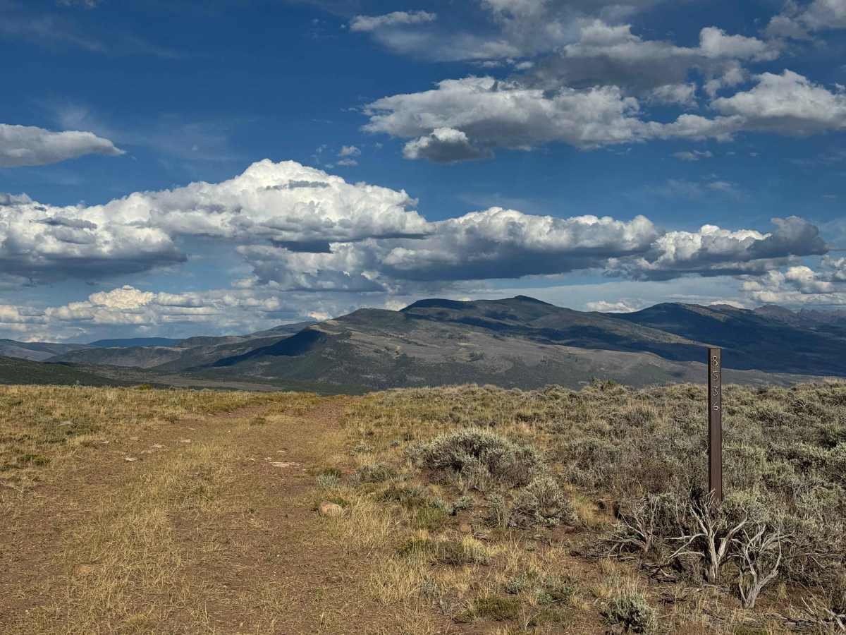
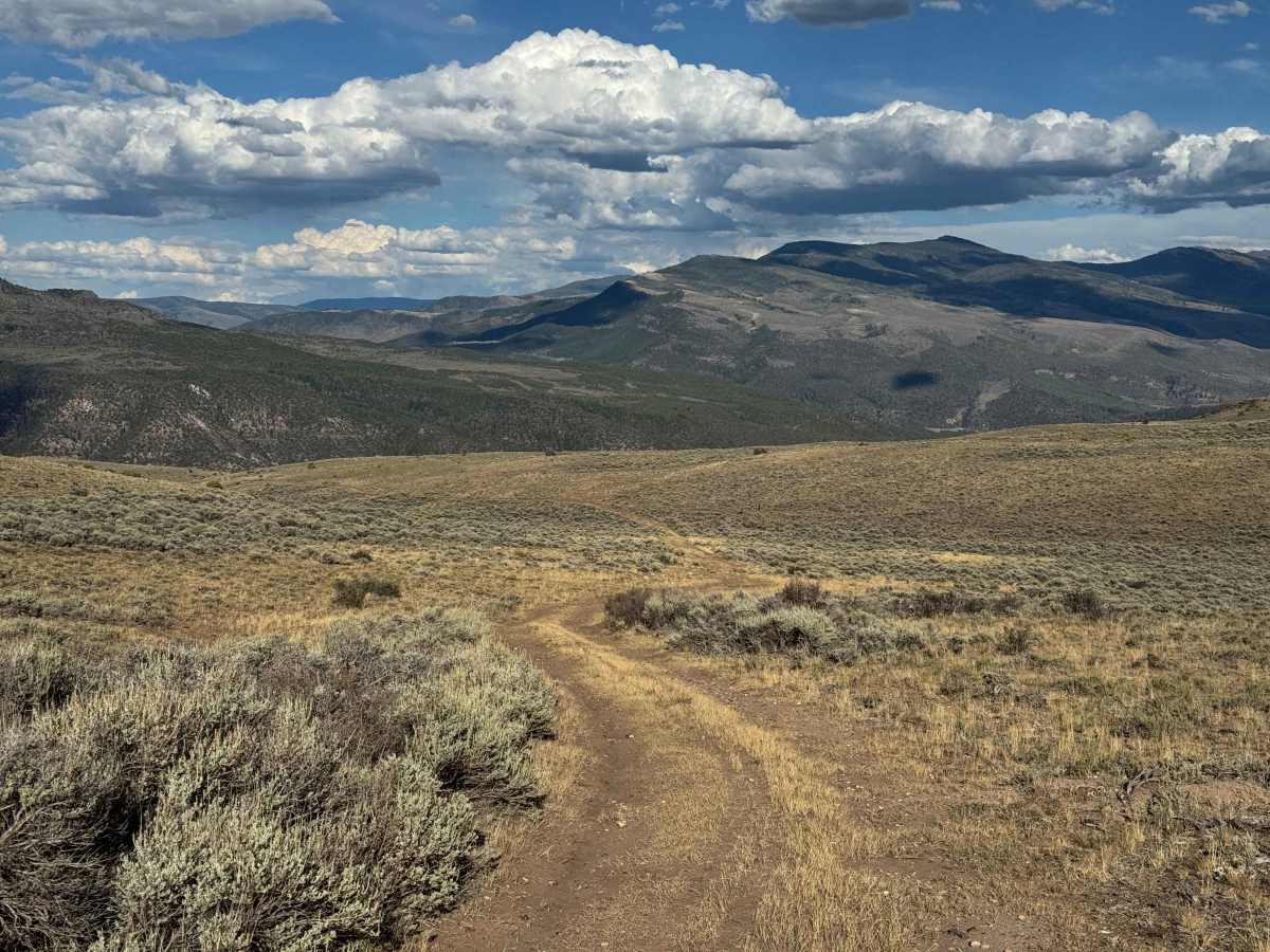
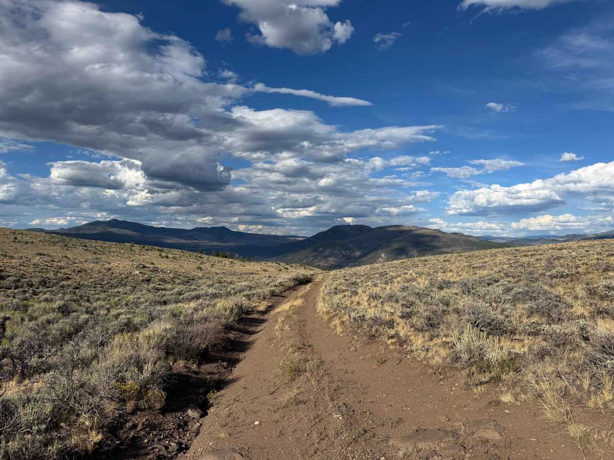
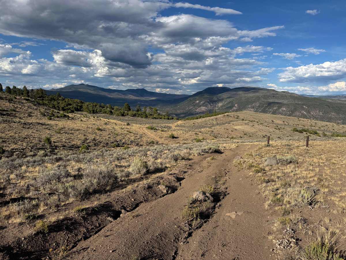
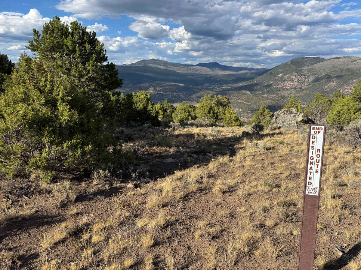
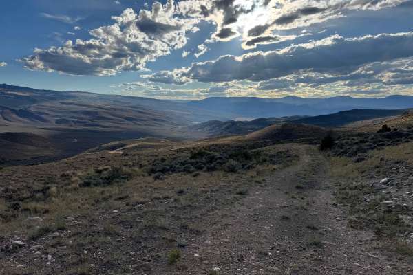
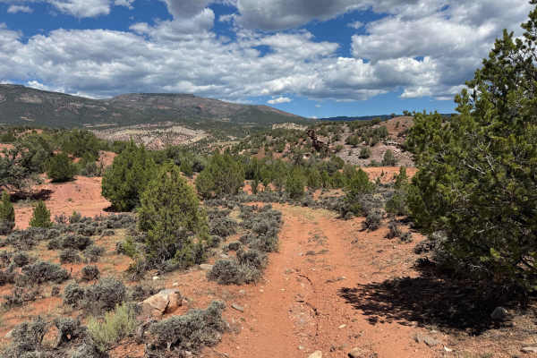
This short out-and-back route descends gradually into a scenic valley toward the Colorado River, offering beautiful views throughout the entire drive. Much of the trail follows an uneven track with deep ruts developing along one side or the other, making careful tire placement important, particularly where the ruts become deeper or more pronounced. There are a few scattered rocks along the route, but nothing particularly difficult under normal conditions. The trail makes for an enjoyable ride as it winds farther down into the valley, with the scenery becoming increasingly impressive as you descend. Eventually, you’ll reach the end of the designated motorized route, where the road ends for vehicles. From this point, the route can continue into the valley on foot or horseback, but motorized travel is not permitted beyond the trail’s endpoint.
Difficulty
This is a relatively easy route with only a few areas requiring extra attention. Deep ruts develop along one side or the other of the trail, so careful tire placement is important to keep your vehicle properly positioned and avoid dropping a wheel into the deeper sections. Aside from these rutted areas, the route is straightforward and presents few significant obstacles. In dry conditions, it makes for an enjoyable and relatively easy ride for appropriately equipped vehicles.
History
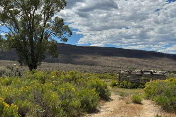
Pisgah Mountain rises to about 8,720 feet in northern Eagle County near McCoy, overlooking a rugged landscape of piñon-juniper forests, sagebrush, rocky ridges, and the Colorado River corridor. The area has a remarkably long human history, with archaeological evidence showing that Ute people traveled through and used the Pisgah Mountain region for generations. One of the most significant discoveries is the Pisgah Mountain Wickiup Village, a large archaeological site containing numerous wooden structures and artifacts that researchers have identified as a protohistoric Ute settlement dating to around 1853. Earlier Ute trails in the surrounding area also show that this landscape was part of an extensive travel network long before modern roads and ranches. Later, the McCoy area became associated with ranching, timber, mining, and the railroad, giving the Pisgah Mountain region a history that stretches from ancient Indigenous travel routes to the modern rural communities of northern Eagle County. (Dargnet)