Trail Overview
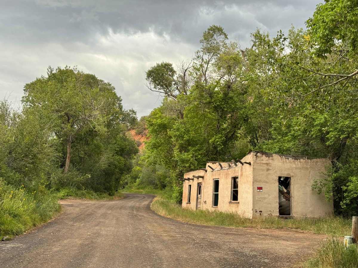
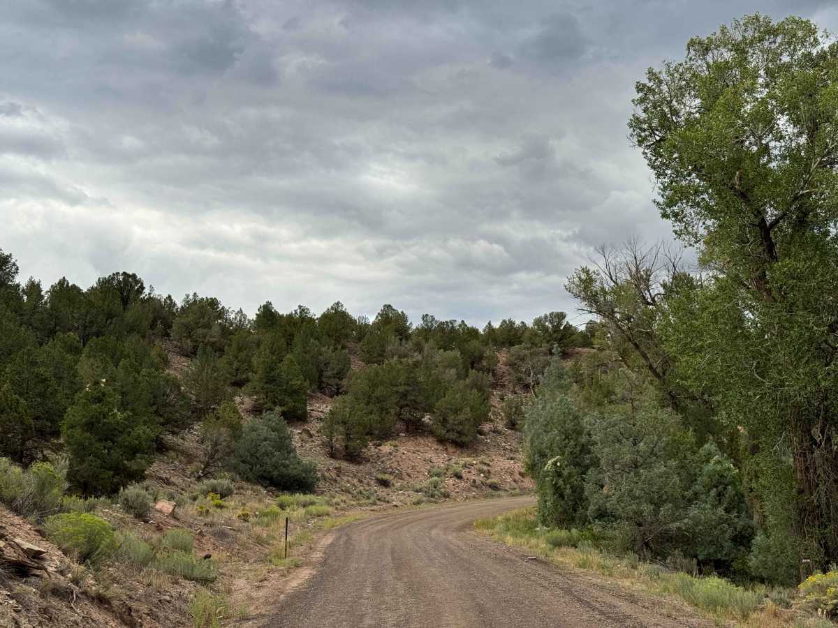
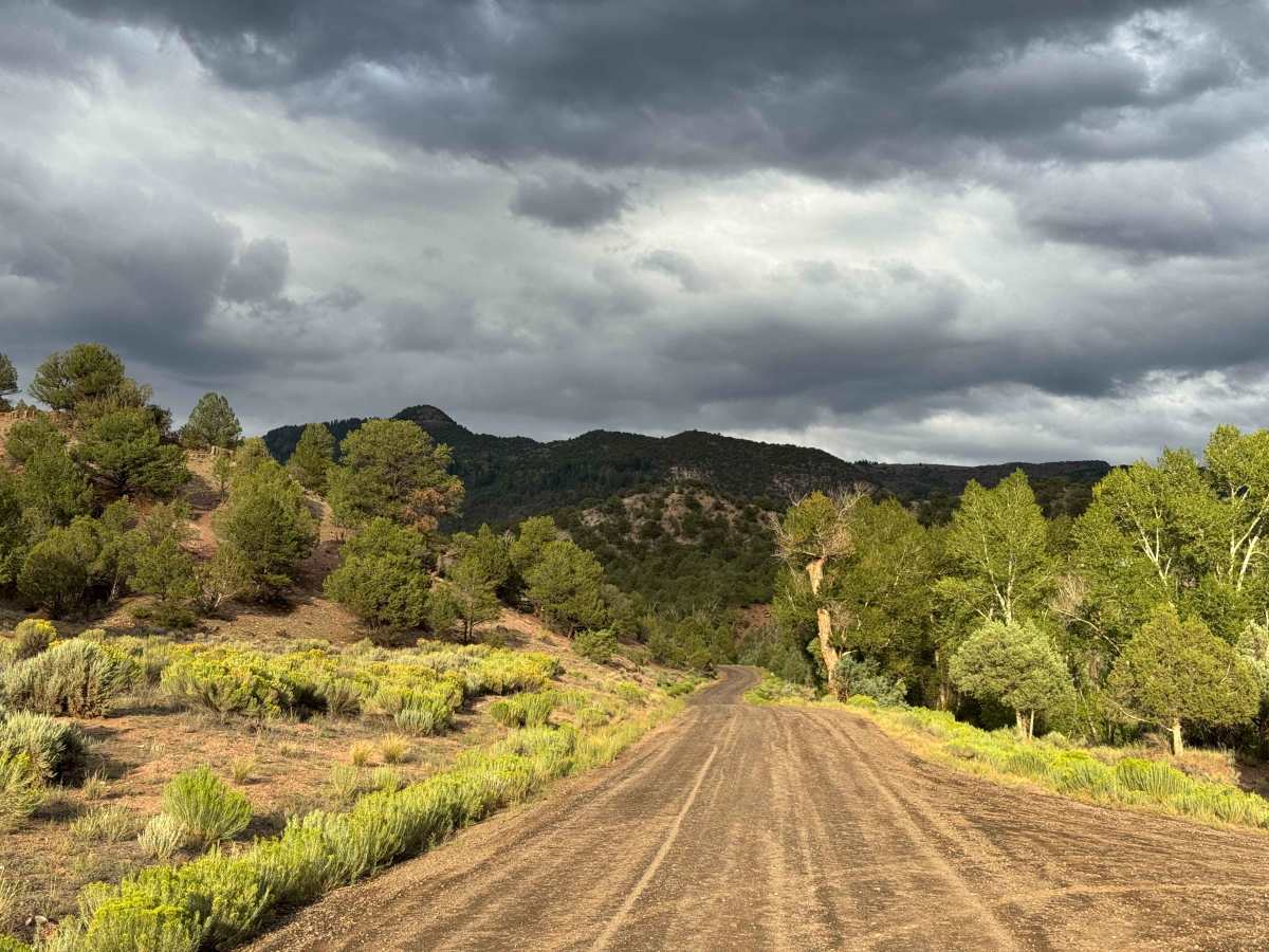
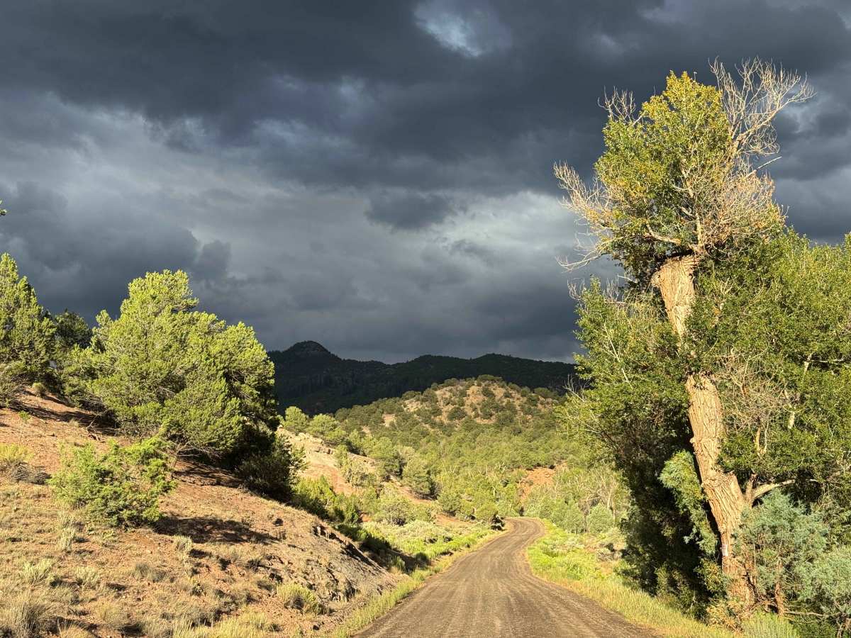
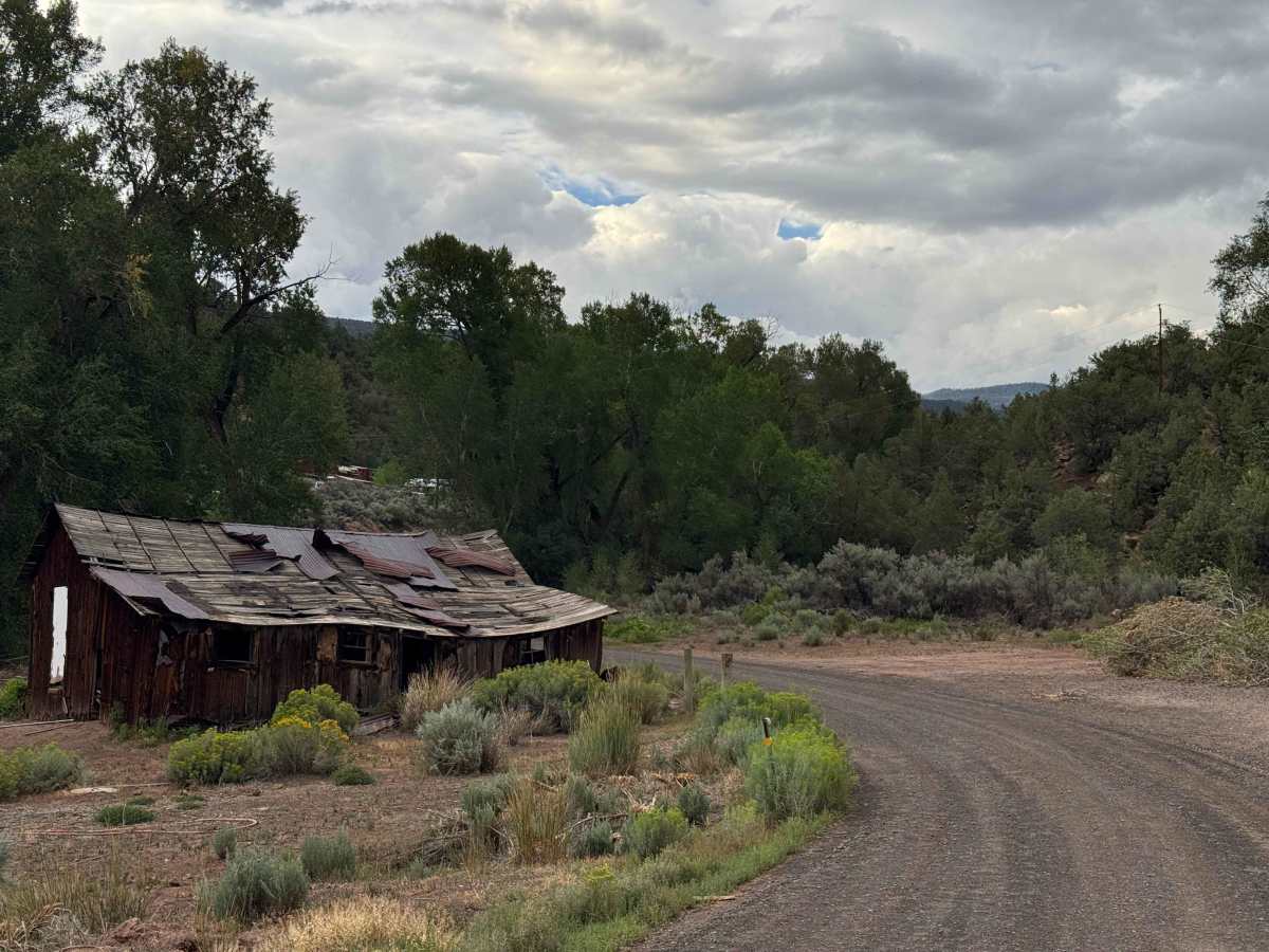
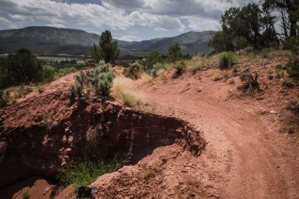
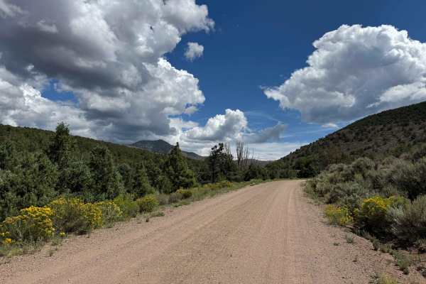
This adventure begins on Highway 131. Copper Spur Road is a county-maintained route that winds gradually through the valley. Although you may encounter off-road vehicles traveling this road, the route is listed for street-legal vehicles only, so be sure your vehicle complies with the applicable access requirements. The road is generally smooth and climbs steadily through a scenic landscape, offering views of the surrounding mountains and open valley along the way. As you continue, you’ll pass several old, abandoned cabins and historic-looking structures, including some that appear to have been constructed from adobe or other traditional materials. The route eventually approaches the Yarmony Reservoir area before the road designation changes. As you cross into Routt County, the Copper Spur Road designation ends and County Road 2 begins, continuing the journey into the surrounding backcountry.
History
Yarmony Reservoir and Yarmony Mountain, near McCoy, have a history stretching back thousands of years. The Yarmony area was used by Native Americans for at least 7,000 years, and an archaeological site near the base of Yarmony Mountain contains evidence of ancient camps and a pit house. The mountain and surrounding Yarmony Park were named for Yarmonite, a Ute leader who was known for maintaining friendly relations with early settlers in the region during the late 1800s. Homesteaders began settling Yarmony Park in the 1890s, and the valley became an important ranching and agricultural area, with Yarmony Creek providing irrigation water. Historical photographs document Charley McCoy’s upper ranch and reservoir on Yarmony Creek, surrounded by early homesteads, showing how the reservoir and creek were part of the area’s ranching history.