Trail Overview
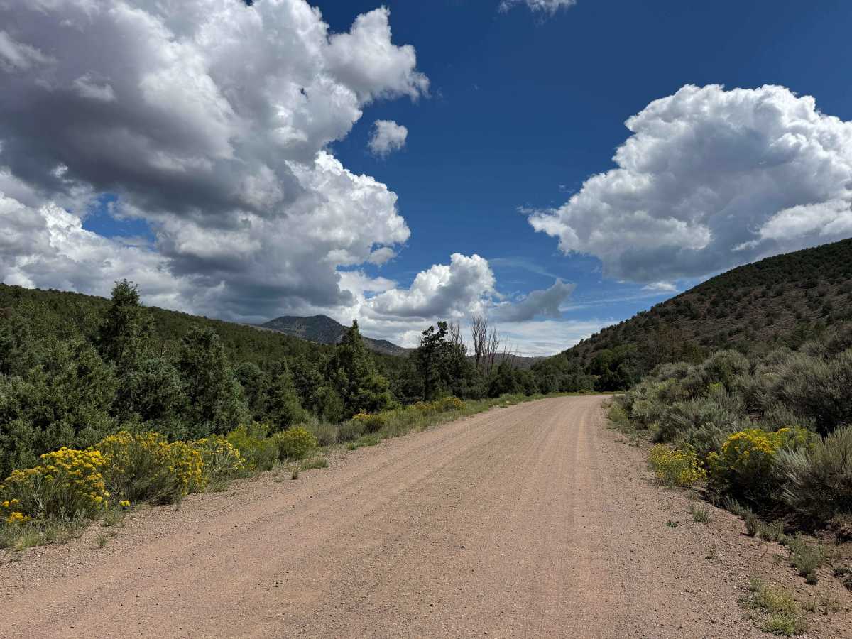
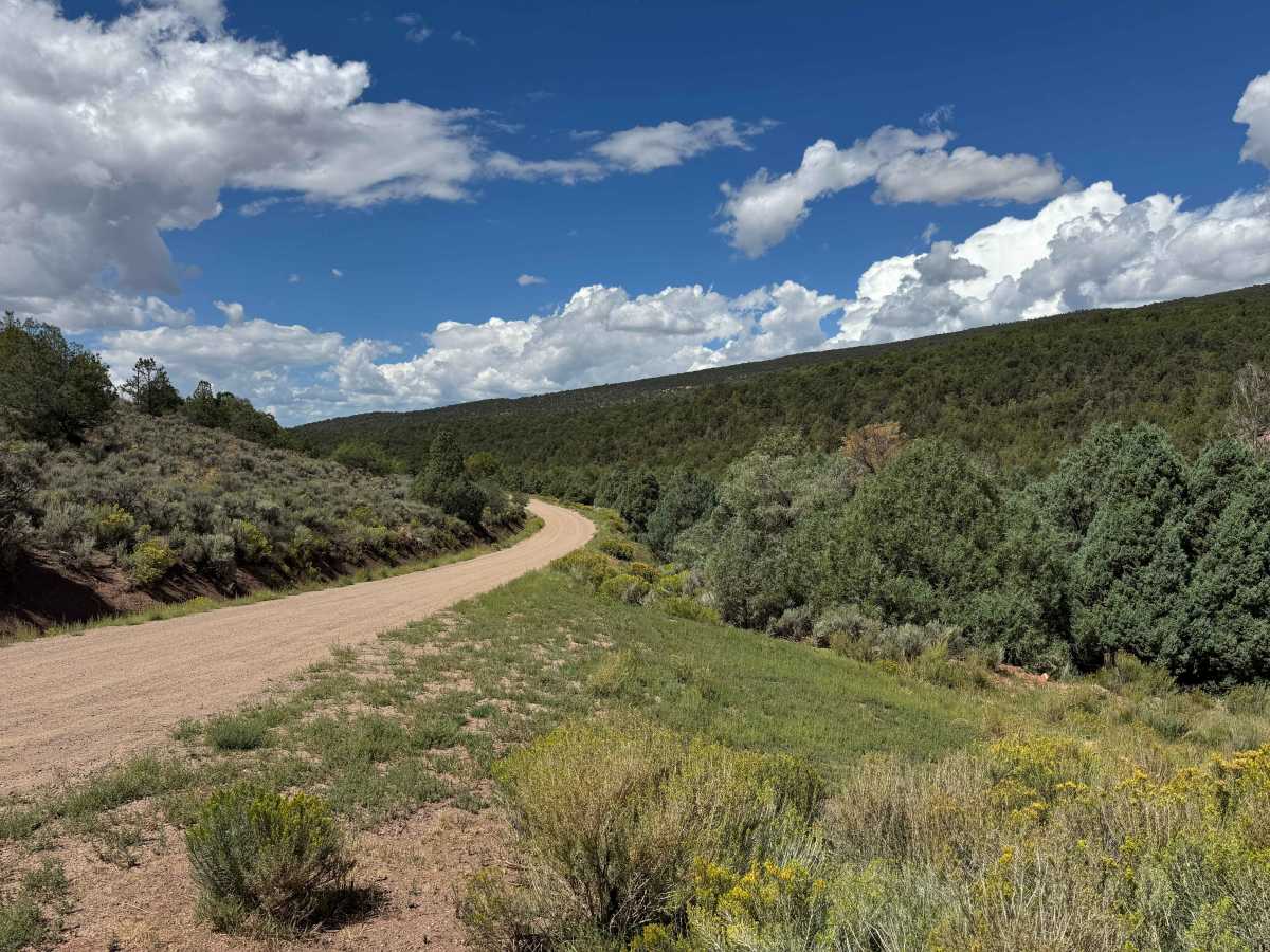
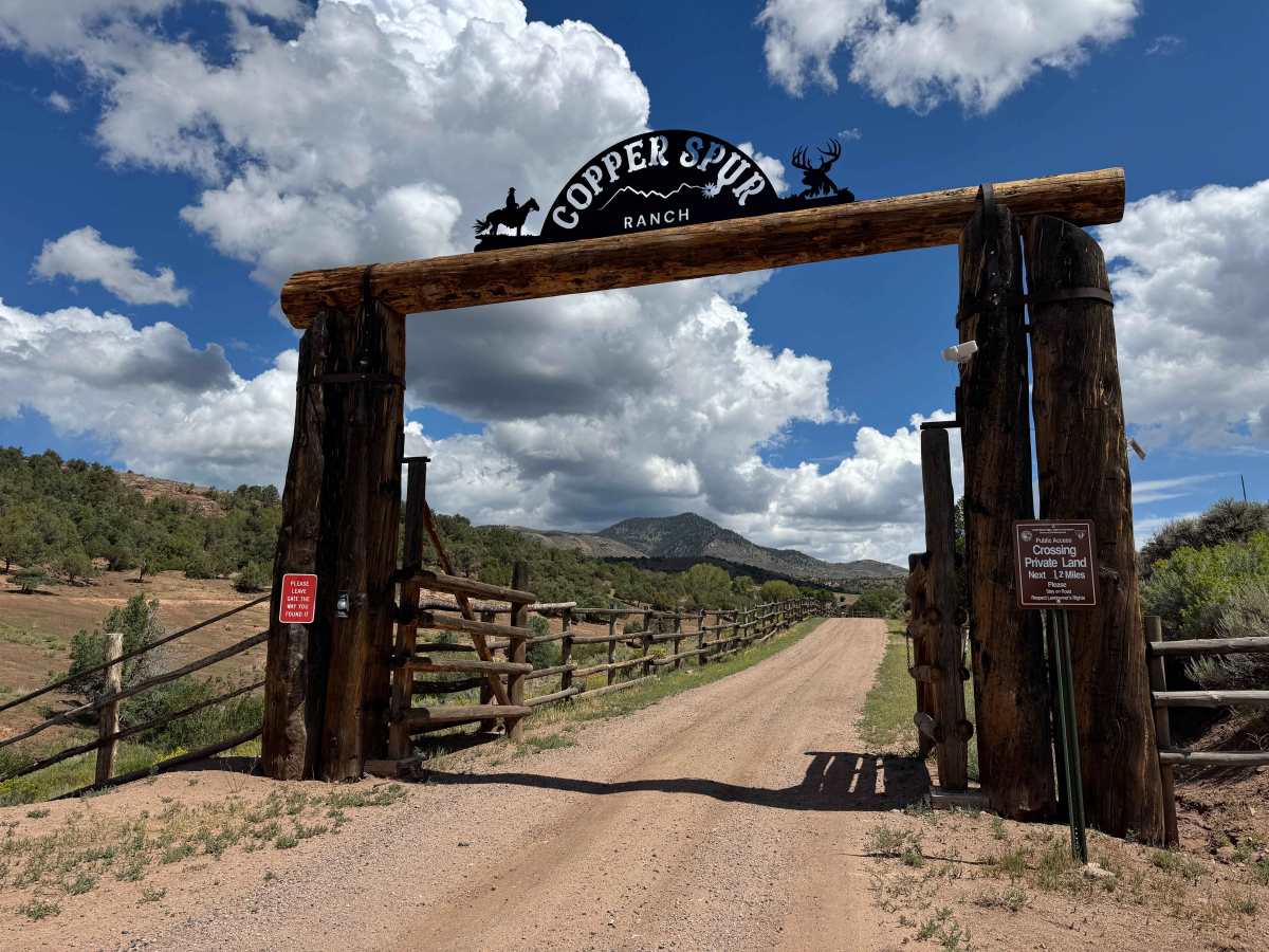
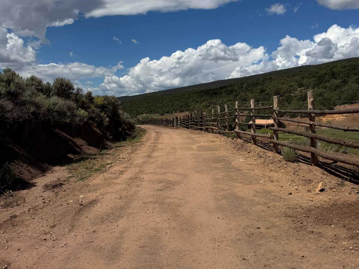
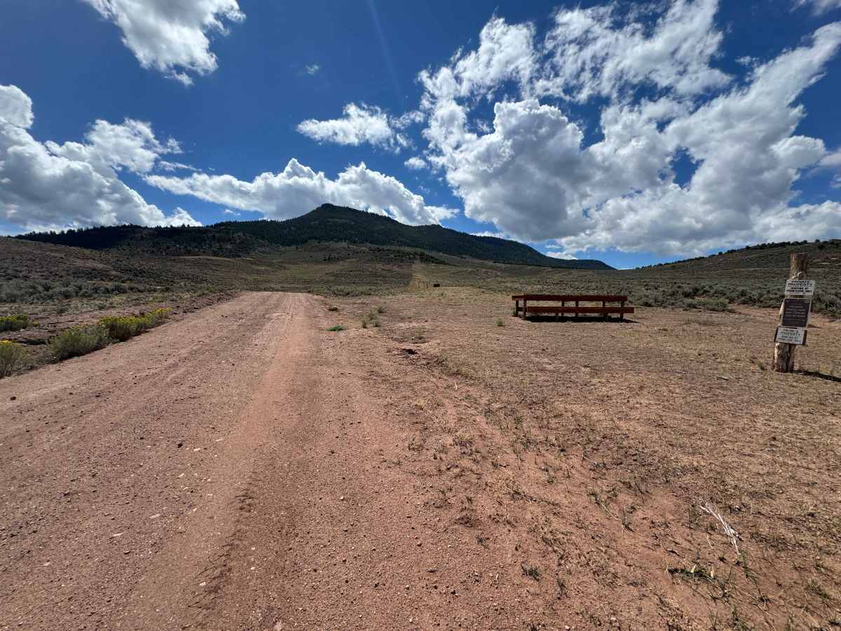
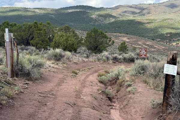
Once you leave Eagle County, the gravel road transitions into a somewhat less-maintained dirt road designated as County Road 2. The route remains suitable for virtually any vehicle, and the road appears to receive regular maintenance due to the ranches and private properties located along the corridor. The surrounding scenery is exceptional, with expansive views of working ranches, open valleys, and the mountains beyond. As you continue along the route, you’ll pass a shooting range before traveling approximately another half-mile, where the County Road designation ends at the entrance to a private ranch. There is no obvious public road continuing beyond this point, but the route does continue through a section of Colorado Land Trust property. This portion is accessible via a designated easement that provides passage across the Trust property to BLM-managed land on the other side. Be sure to follow the designated route and respect all posted access restrictions and private-property boundaries.
History
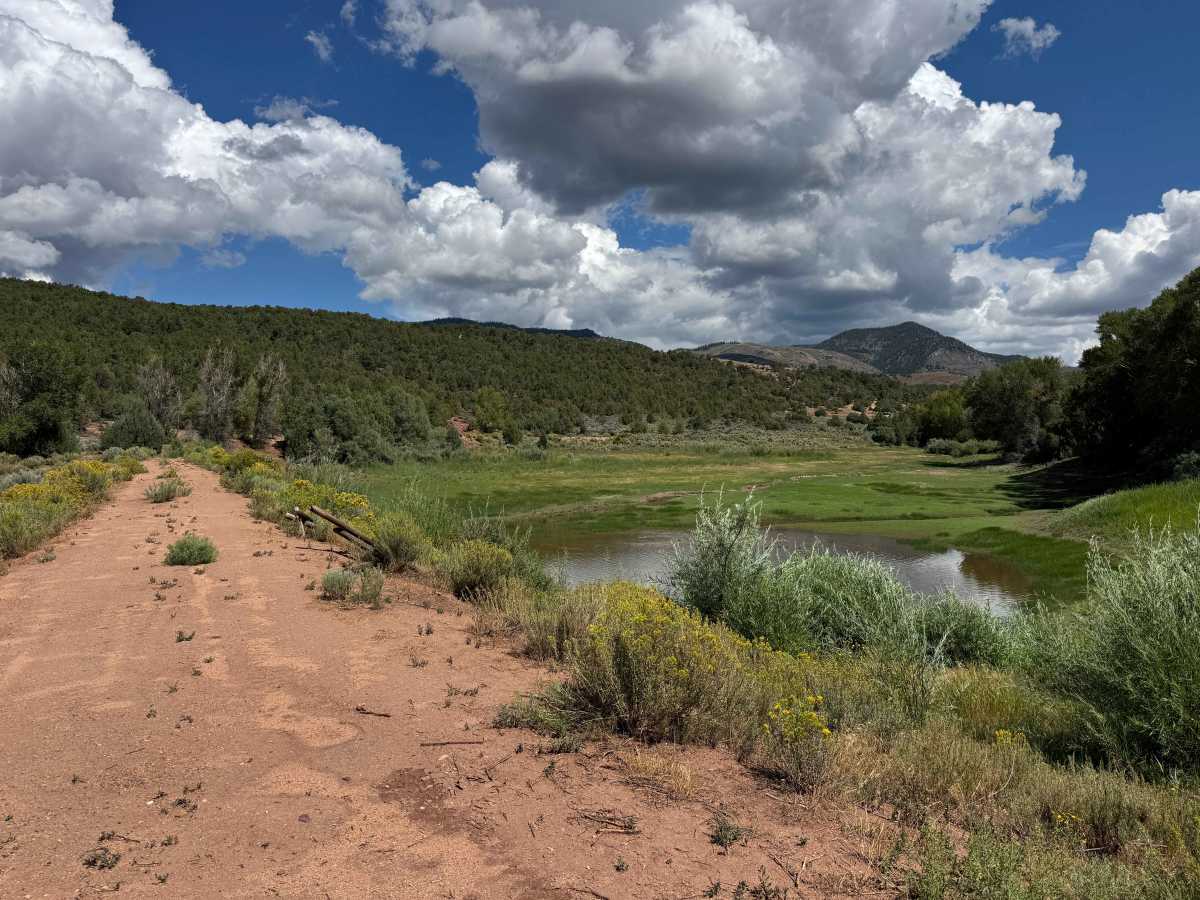
Yarmony Reservoir and Yarmony Mountain, near McCoy, have a history stretching back thousands of years. The Yarmony area was used by Native Americans for at least 7,000 years, and an archaeological site near the base of Yarmony Mountain contains evidence of ancient camps and a pit house. The mountain and surrounding Yarmony Park were named for Yarmonite, a Ute leader who was known for maintaining friendly relations with early settlers in the region during the late 1800s. Homesteaders began settling Yarmony Park in the 1890s, and the valley became an important ranching and agricultural area, with Yarmony Creek providing irrigation water. Historical photographs document Charley McCoy’s upper ranch and reservoir on Yarmony Creek, surrounded by early homesteads, showing how the reservoir and creek were part of the area’s ranching history.