Trail Overview
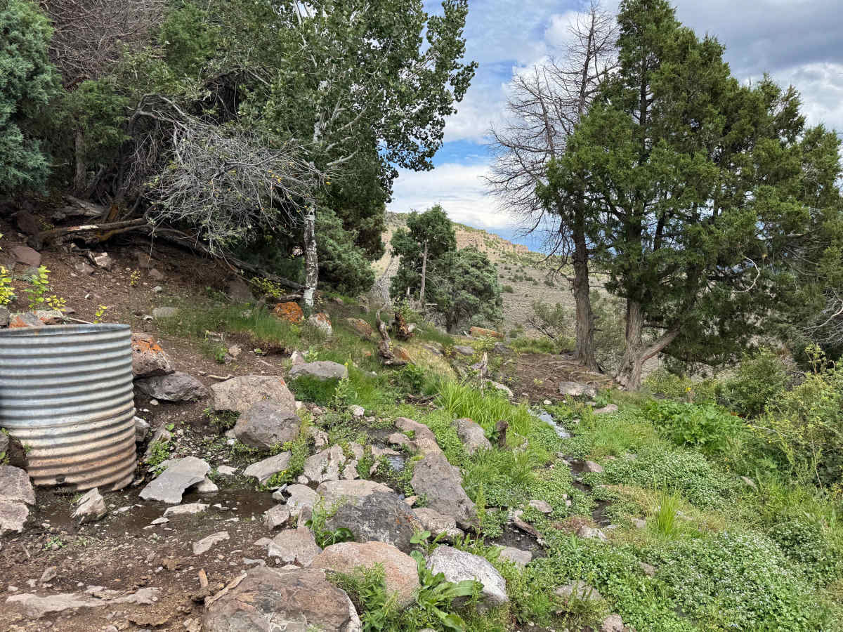
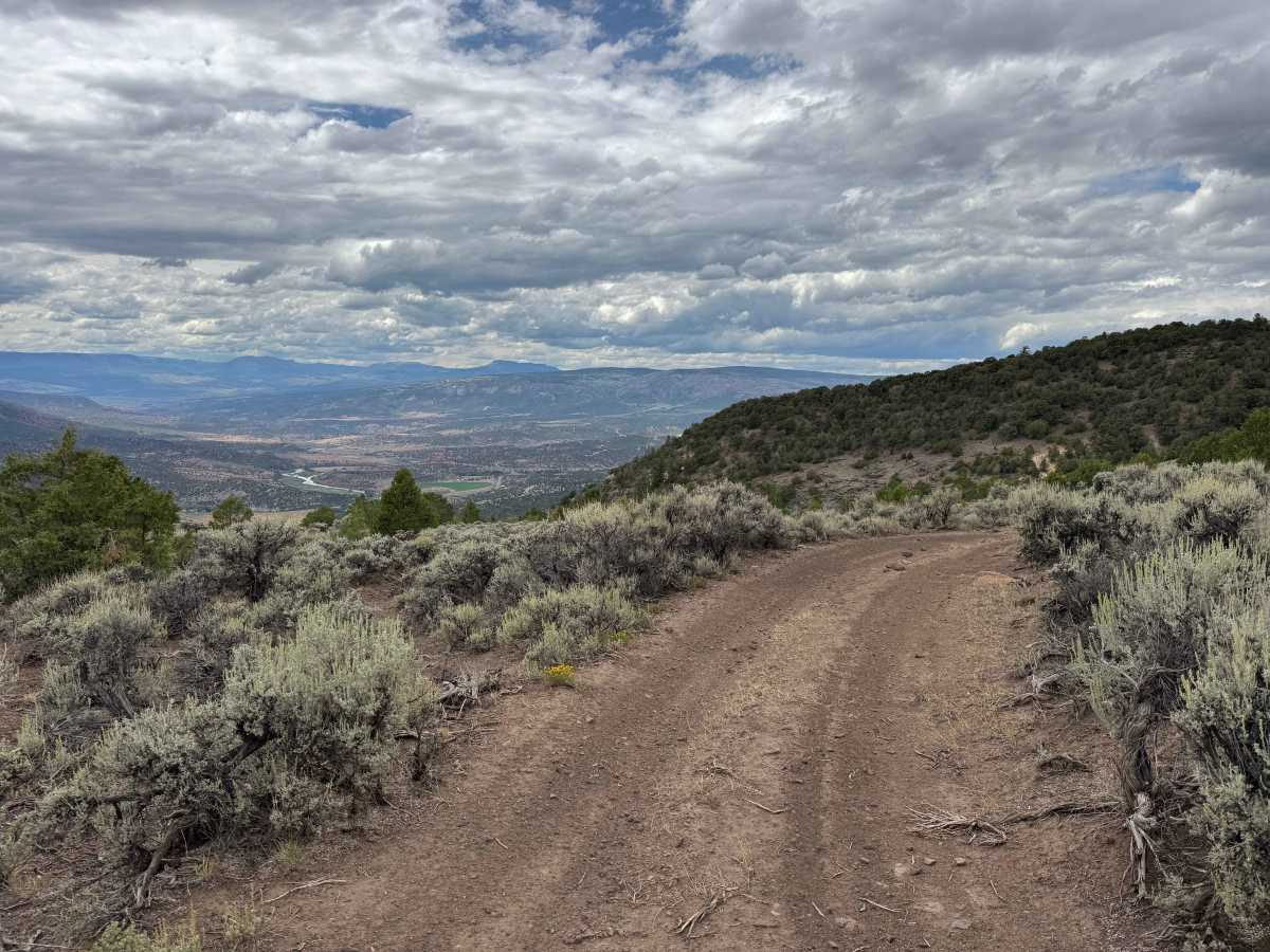
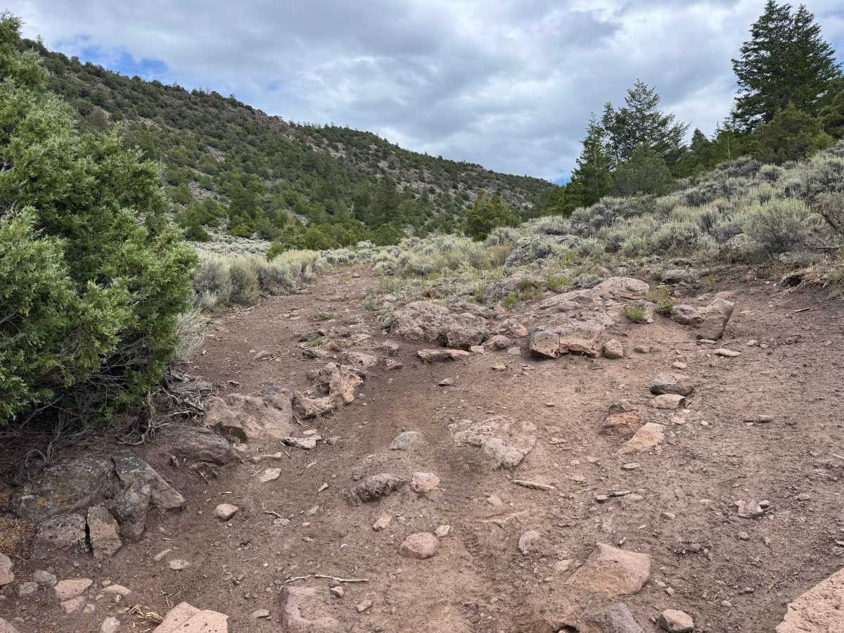
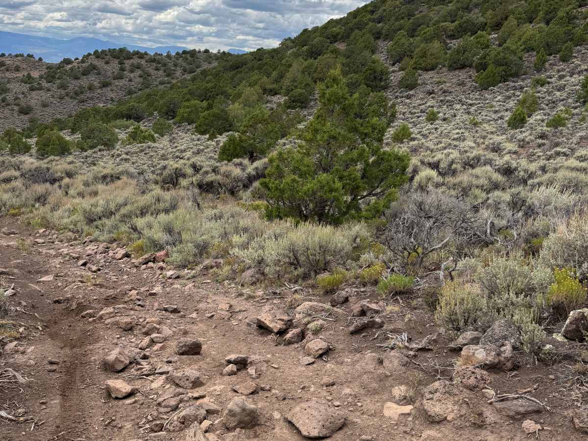
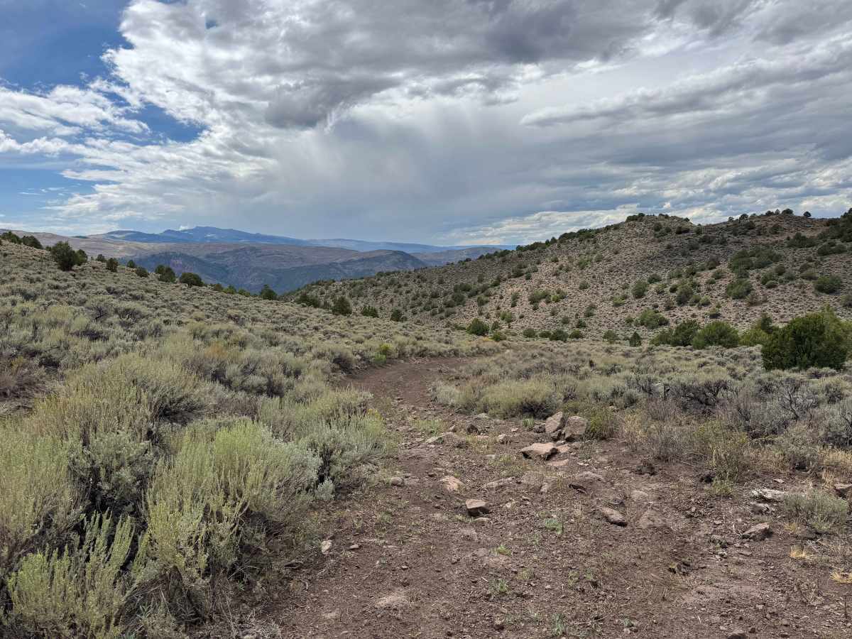
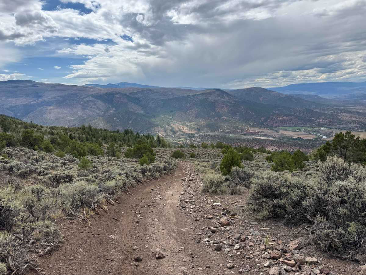
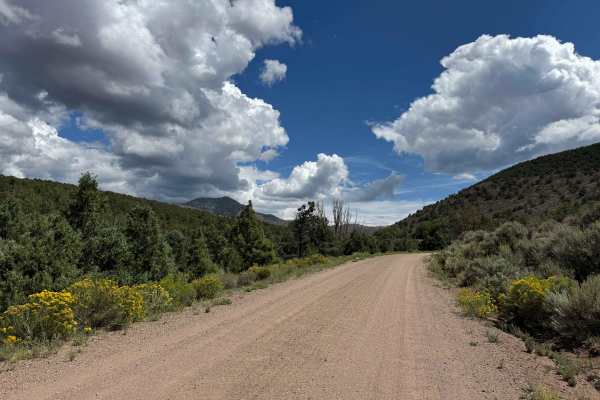
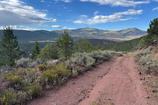
Starting from the northern end of the trail, the route begins near a small natural spring, so drivers should expect to cross or travel through several small streams of water flowing along the trail. Shortly into the route, you will pass an entrance to a trailhead designated for smaller motorized vehicles, including ATVs and motorcycles, rather than larger vehicles. Farther along, the trail appears to end at what looks like a corner, but this is actually a large natural spring with a route continuing through it. This is where the trail begins to earn its more challenging rating, as drivers must carefully select a line through the spring, navigating embedded rocks before emerging onto a narrow shelf road. As the trail begins descending, another rock garden requires careful wheel placement and controlled driving. Beyond this section, the route becomes considerably easier, with several excellent dispersed camping areas along the way and additional trail options for continuing farther into the area or returning toward the highway.
Difficulty
In dry conditions, most of this trail is easily manageable, but the difficulty increases when you reach the very green area that initially appears to be a dead end. This section requires careful navigation around several larger embedded rocks and some challenging lines before reaching the narrow shelf road. Once on the shelf road and past this obstacle, there is another rocky section containing numerous embedded rocks, including several obstacles more than a foot high. Careful tire placement and controlled driving are recommended throughout these areas, and using a spotter can be especially helpful when navigating the larger rocks to reduce the risk of undercarriage damage, tire punctures, or sidewall damage.