Trail Overview
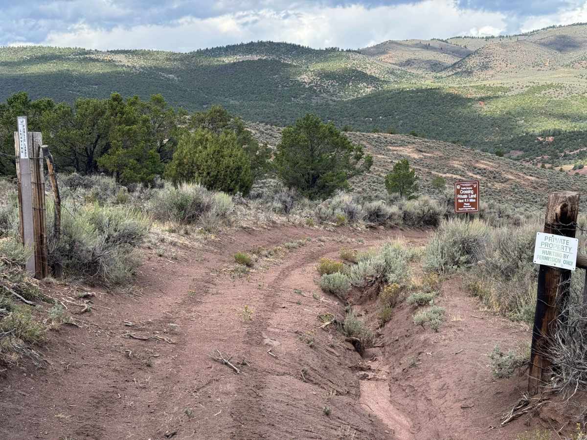
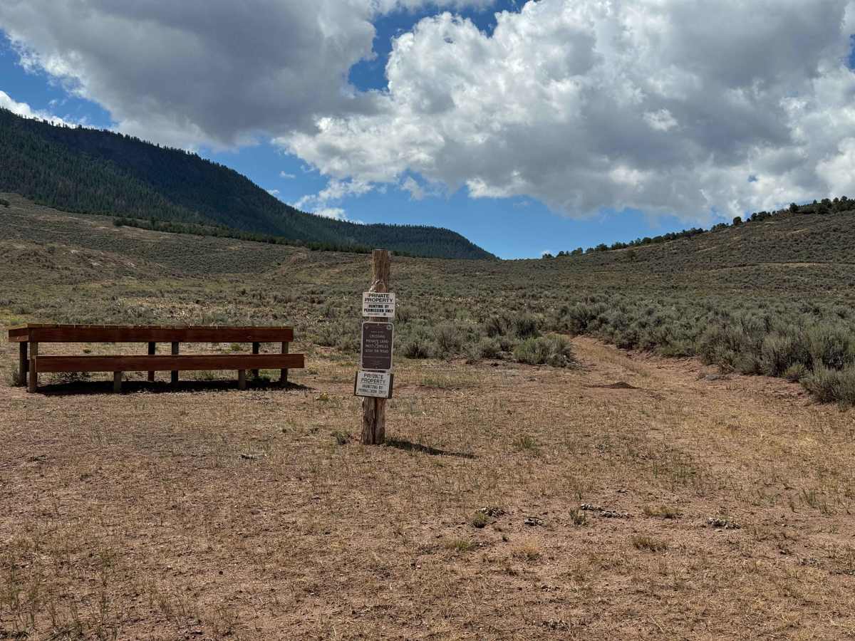
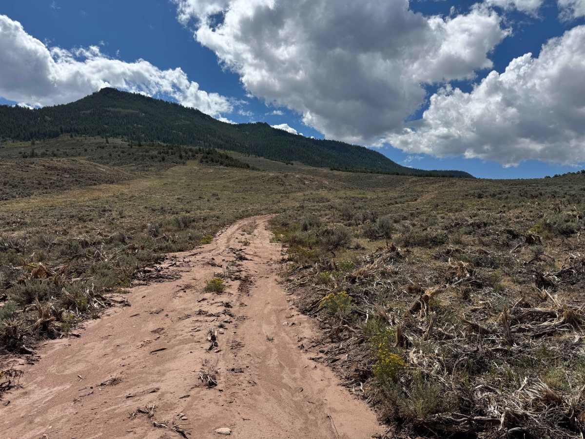
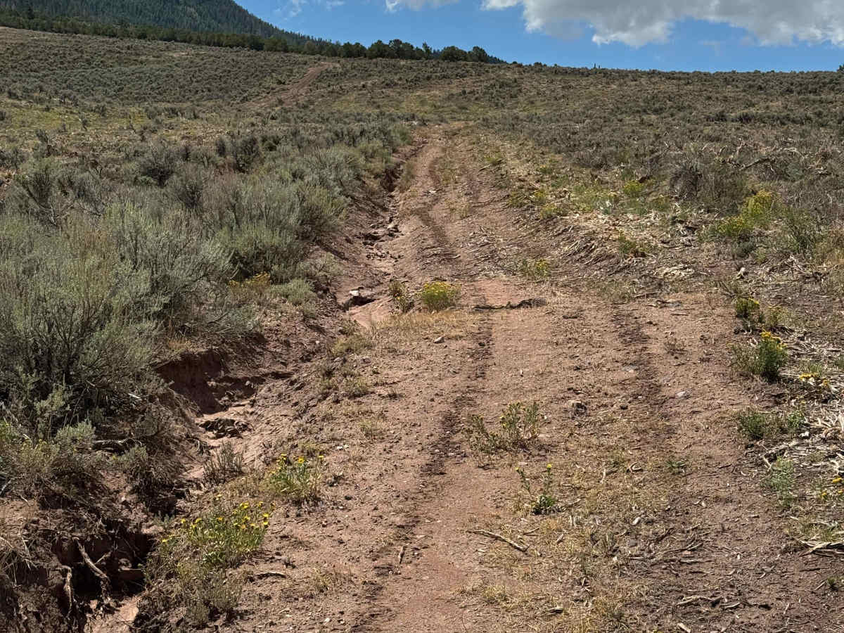
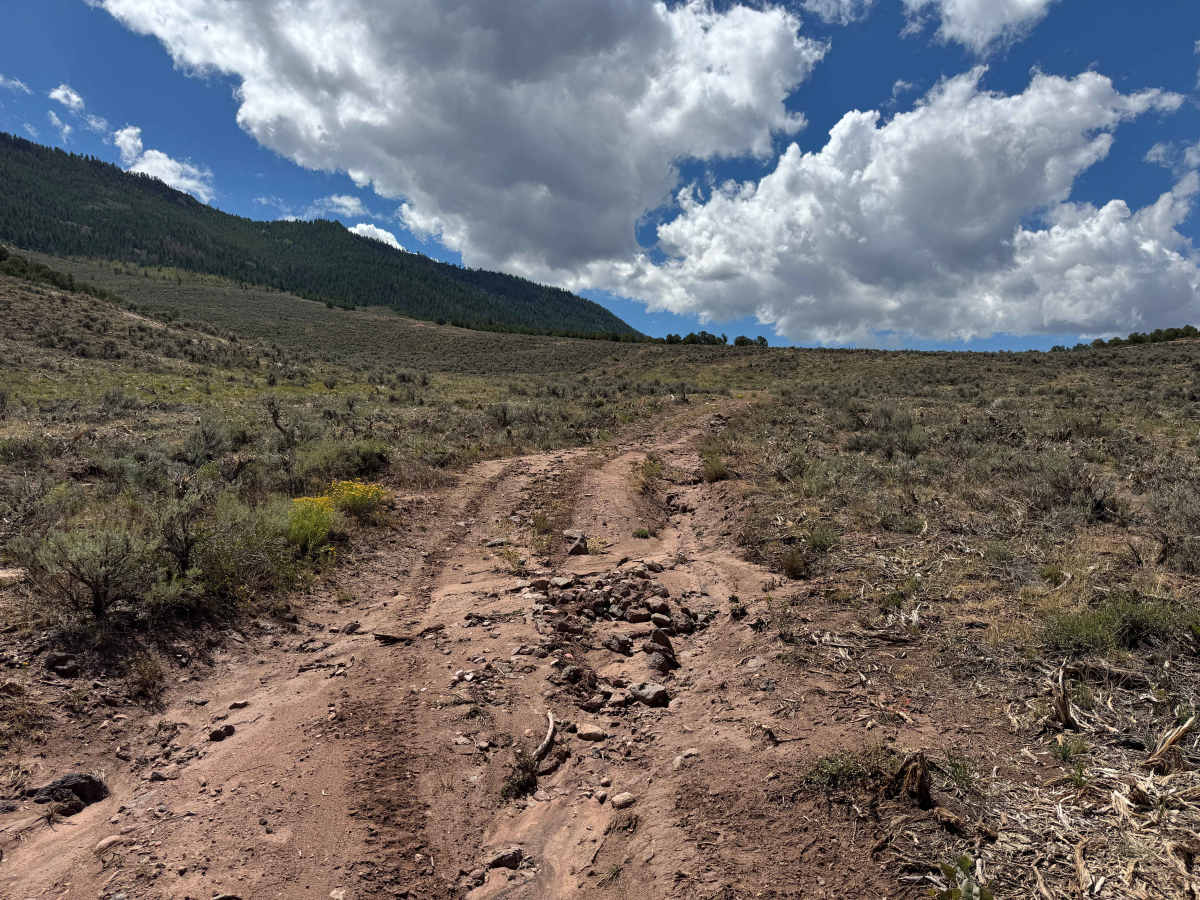
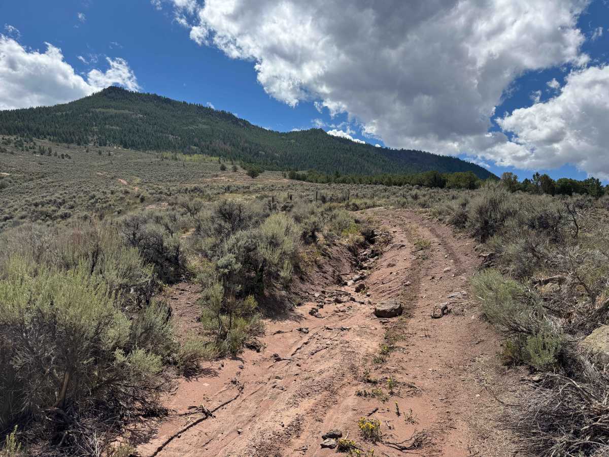
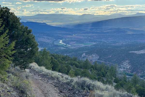
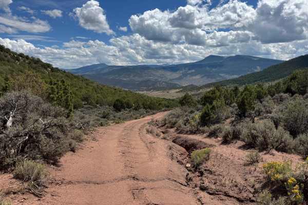
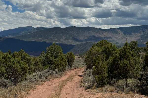
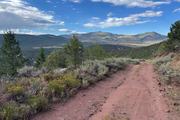
This BLM route begins just off County Road 2 near a rifle shooting range that serves as a recognizable landmark close to the trailhead. The first half-mile follows an easement through the property of the nearby Copper Spur Ranch before the route continues onto public land. As the trail begins climbing, recent rain and runoff have carved channels through portions of the road, and the route appears to receive relatively little vehicle traffic. The trail winds through open sagebrush before gradually transitioning into stands of smaller and then larger pine trees as it climbs the steep mountainside. The views both ahead and behind become increasingly impressive, but the terrain also becomes progressively more demanding, with steeper grades and loose rock throughout the upper sections. This route is better suited to smaller, capable off-road vehicles with good ground clearance. Once you reach the top, the route ends at the boundary of Colorado State Trust Land, where public access is not permitted.
Difficulty
This route is relatively short but extremely steep, with the grade becoming progressively more challenging as you approach the upper sections. Even when the trail is dry, drivers will encounter several deep ruts and steep climbs that require careful wheel placement, controlled throttle, and confident vehicle handling. A capable off-road vehicle and an experienced driver are recommended, as the combination of steep terrain, loose surfaces, and deep ruts can make some sections particularly demanding.