Trail Overview
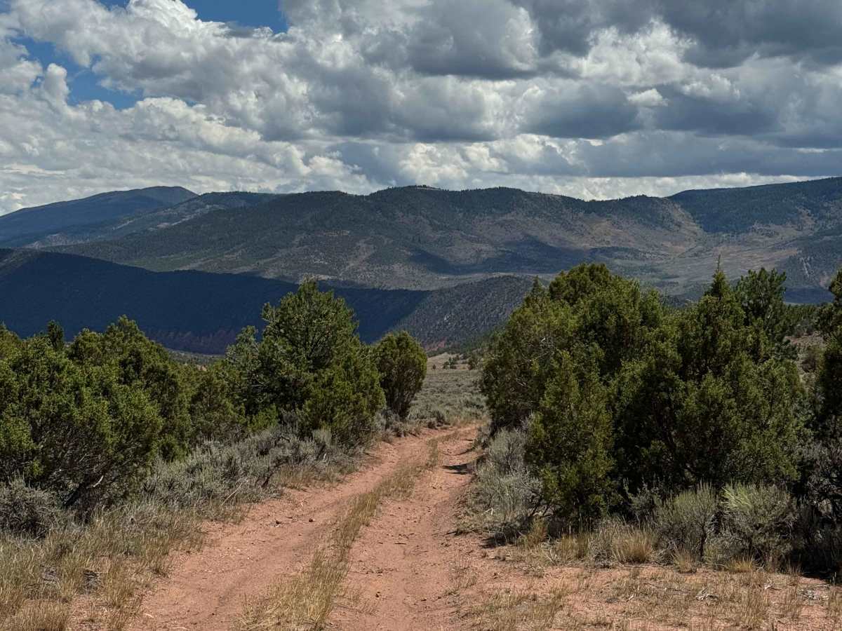
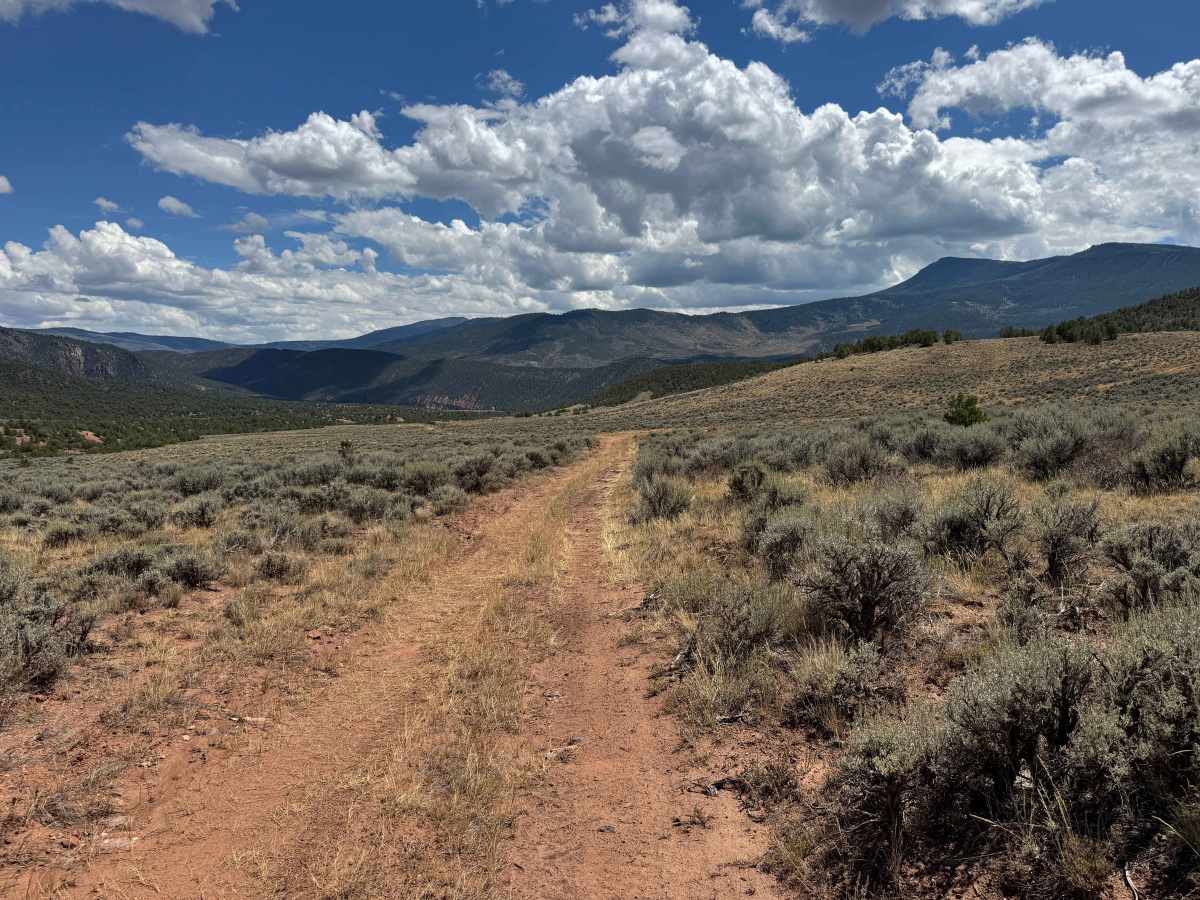
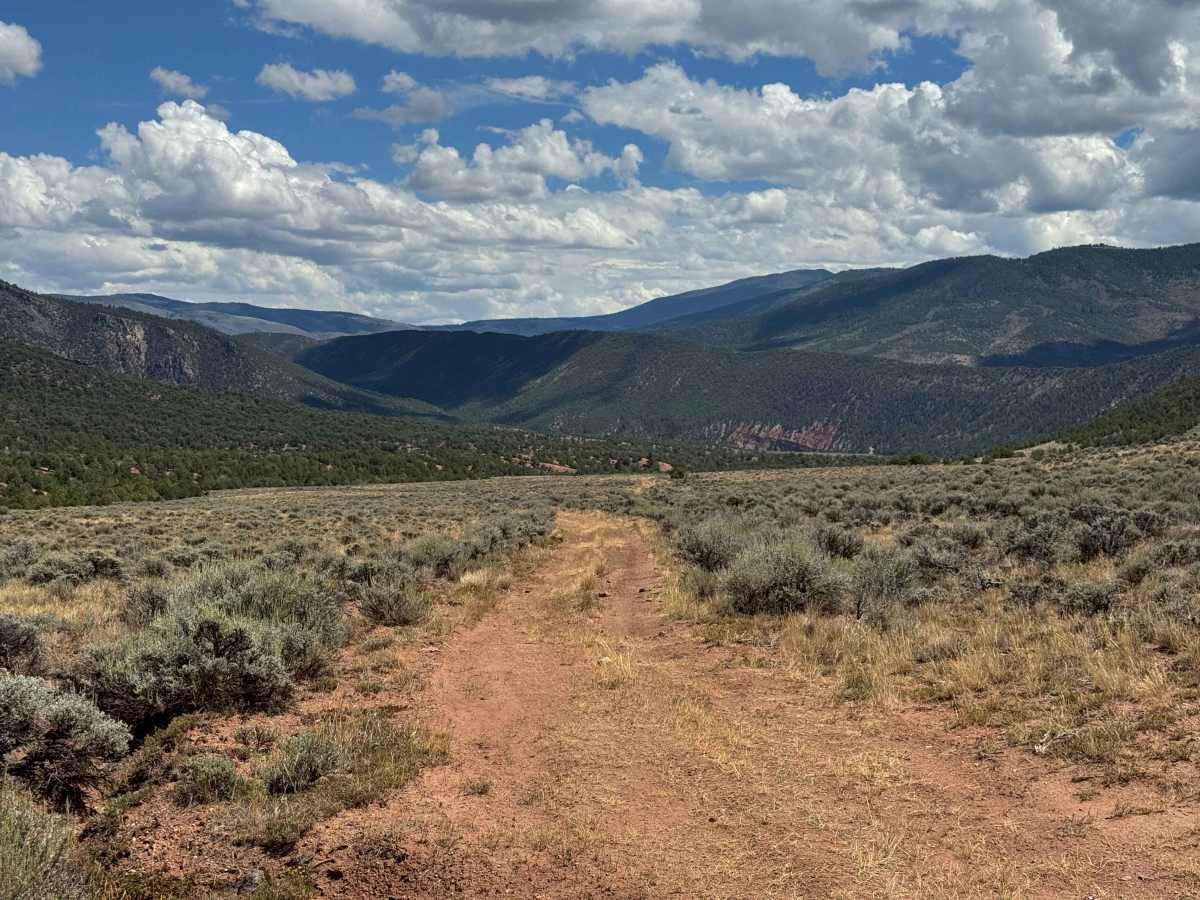
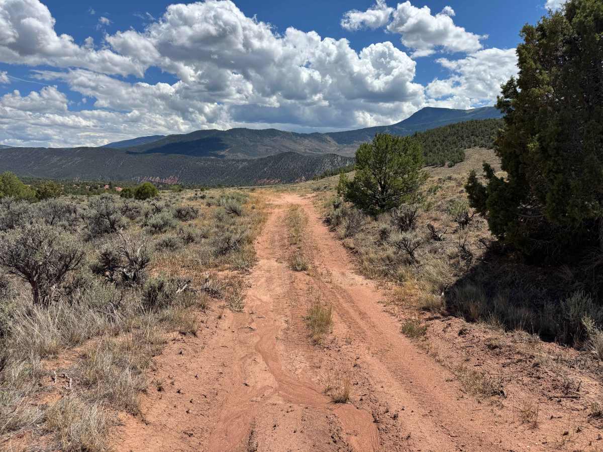
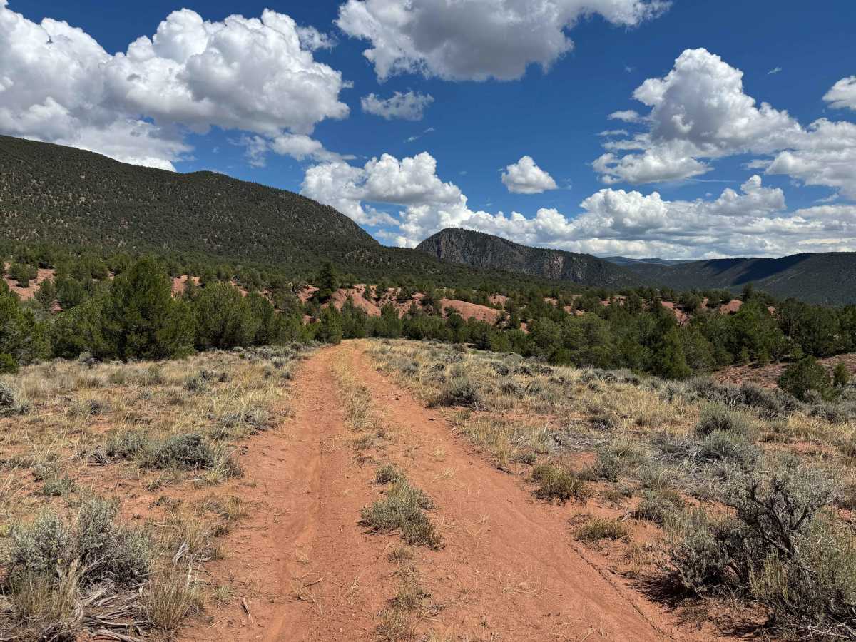
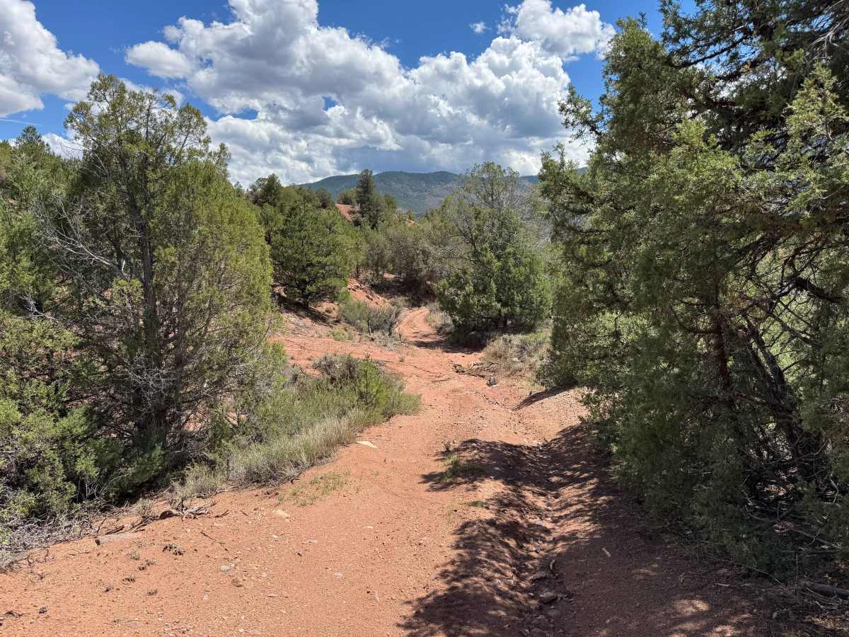
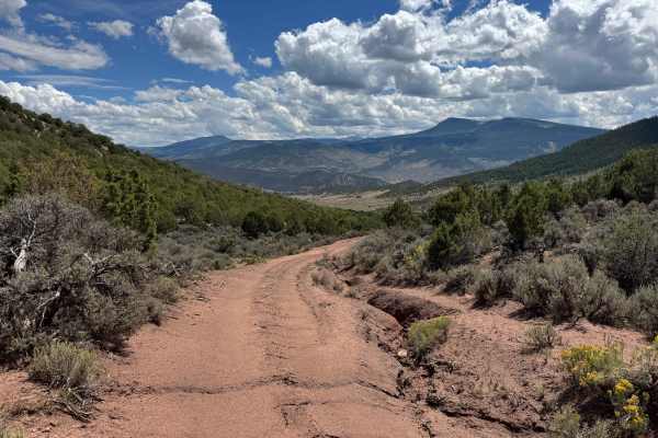
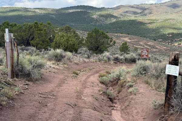
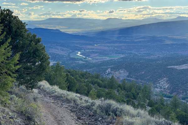
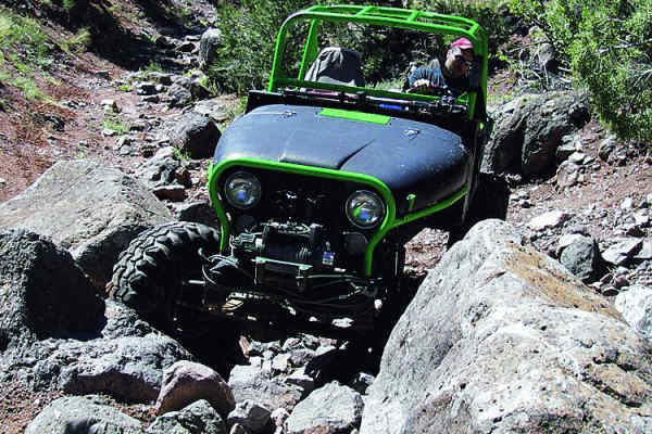
This scenic off-road route begins where the Colorado Land Trust easement ends. At the first fork, take the right-hand route as the trail begins a predominantly downhill descent into a small canyon and eventually toward the Colorado River basin. The route includes several steep sections, larger embedded rocks, and deep ruts that require careful wheel placement and deliberate driving. As you descend, the scenery is outstanding, with expansive mountain views and the Colorado River Valley visible to the right. The trail eventually reaches a small river basin that can become challenging in wet conditions, followed by a 90-degree turn out of the arroyo and a stretch of relatively level terrain. From there, the route makes a moderate descent into the Colorado River Valley, including several notably steep sections and areas that have recently been washed out. Conditions can change quickly, so carefully inspect the trail ahead before committing to difficult sections. Keep in mind that this is an out-and-back route, and the steep descents you encounter on the way down must also be climbed on the return trip. There is a beautiful dispersed camping site overlooking the terrain and river valley, making it an excellent place to stop and enjoy the scenery. Farther down near the old cabin, there is limited additional access or scenery beyond the route, as railroad tracks separate the road from the Colorado River.
Difficulty
There are three or four challenging sections along this route that require careful driving and good judgment. Near the beginning, you’ll encounter steep sections with large embedded rocks and deep, one-sided ruts that require precise wheel placement. The next challenge is navigating into and out of the small canyon, where recent erosion has altered the trail and created some uneven and unpredictable sections. Farther along, the descent toward the Colorado River becomes more demanding, with very steep, loose terrain, larger rocks, and an off-camber shelf-road section. Parts of this area have also been affected by recent erosion and flooding. Near the bottom, the road can become more like a river channel after heavy runoff, making conditions particularly difficult. It is strongly recommended that you stop and walk difficult sections ahead of time when necessary, especially during the descent into the valley. Remember that anything you drive down must also be climbed on the return trip, so carefully evaluate each obstacle before committing your vehicle.
History
State Bridge is an excellent starting point for exploring the surrounding backcountry by 4WD, SxS, motorcycle, bicycle, or on foot. Numerous dirt roads and designated public routes extend into the surrounding mountains and ranch country, with nearby destinations including Radium, Yarmony, McCoy, Burns, and the Upper Colorado River corridor. The Colorado River Headwaters Scenic and Historic Byway also begins near State Bridge and provides access to numerous scenic and recreational side trips. Always check onX before traveling, as some routes cross private property or have specific motorized-use restrictions.