Trail Overview
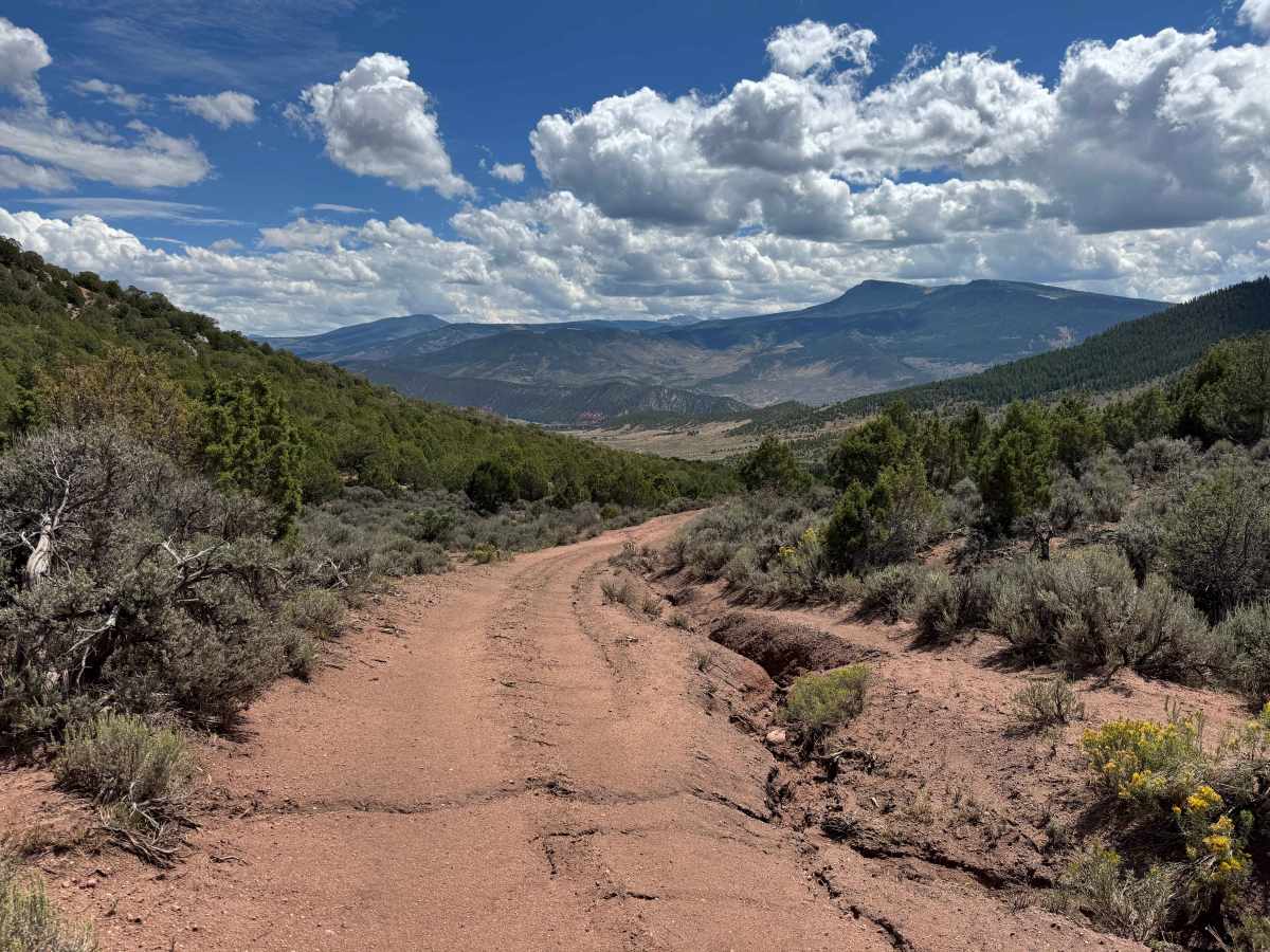
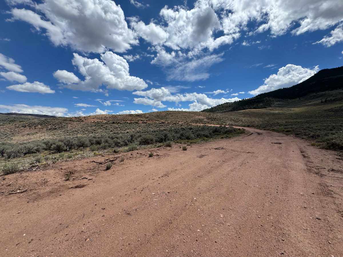
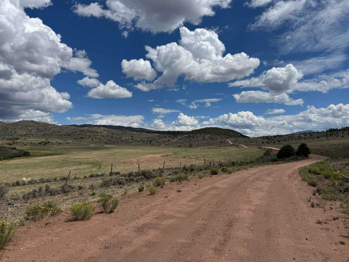
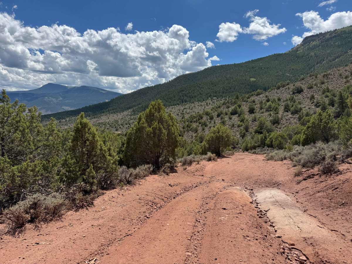
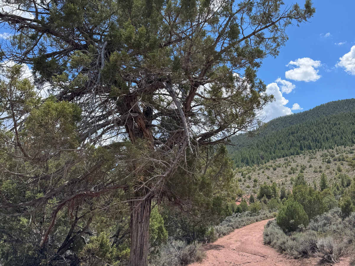
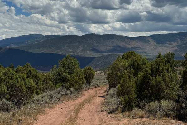
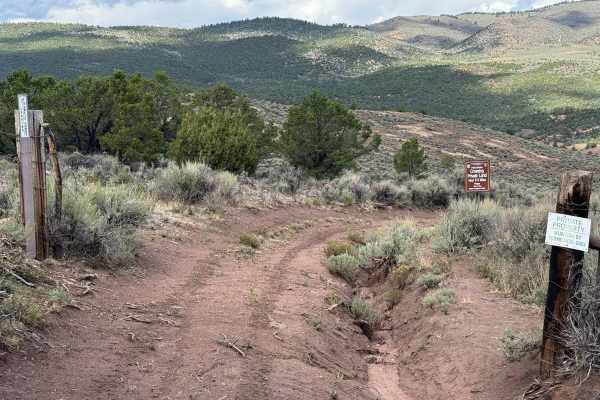
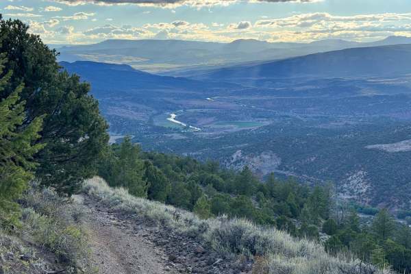
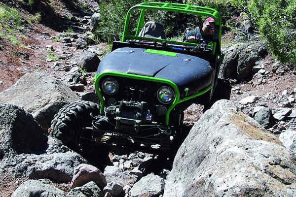
After traveling along the fairly well-maintained County Road 2, the route eventually ends at a ranch, where the only continuation in this direction passes through the Colorado Land Trust property. According to the mapping information, this section is designated as a public right-of-way and BLM easement, allowing the public to pass through this otherwise private land. The crossing is only about one mile long, but the terrain becomes more challenging as the trail begins to lose elevation. Several deep ruts and sections with large embedded rocks require careful wheel placement and controlled driving. Despite the short distance, the route offers beautiful views across the surrounding landscape and provides a scenic transition into the more rugged terrain beyond. Near the end of the easement, you’ll encounter a closed gate that must be opened to exit the Trust property. Be sure to close the gate securely behind you before continuing.
Difficulty
There are two or three challenging spots as the descent begins through this easement section. The trail passes through areas with large embedded rocks, some measuring more than a foot in height, along with several sections where deep rain ruts have formed along one side of the trail or the other. These obstacles require careful wheel placement and controlled driving, particularly when navigating the steeper portions of the descent.