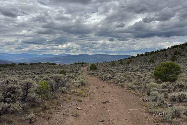
Trail Overview
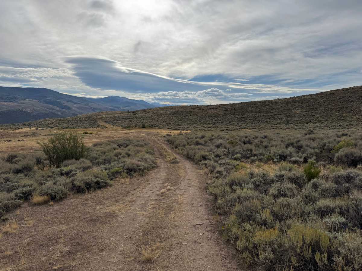
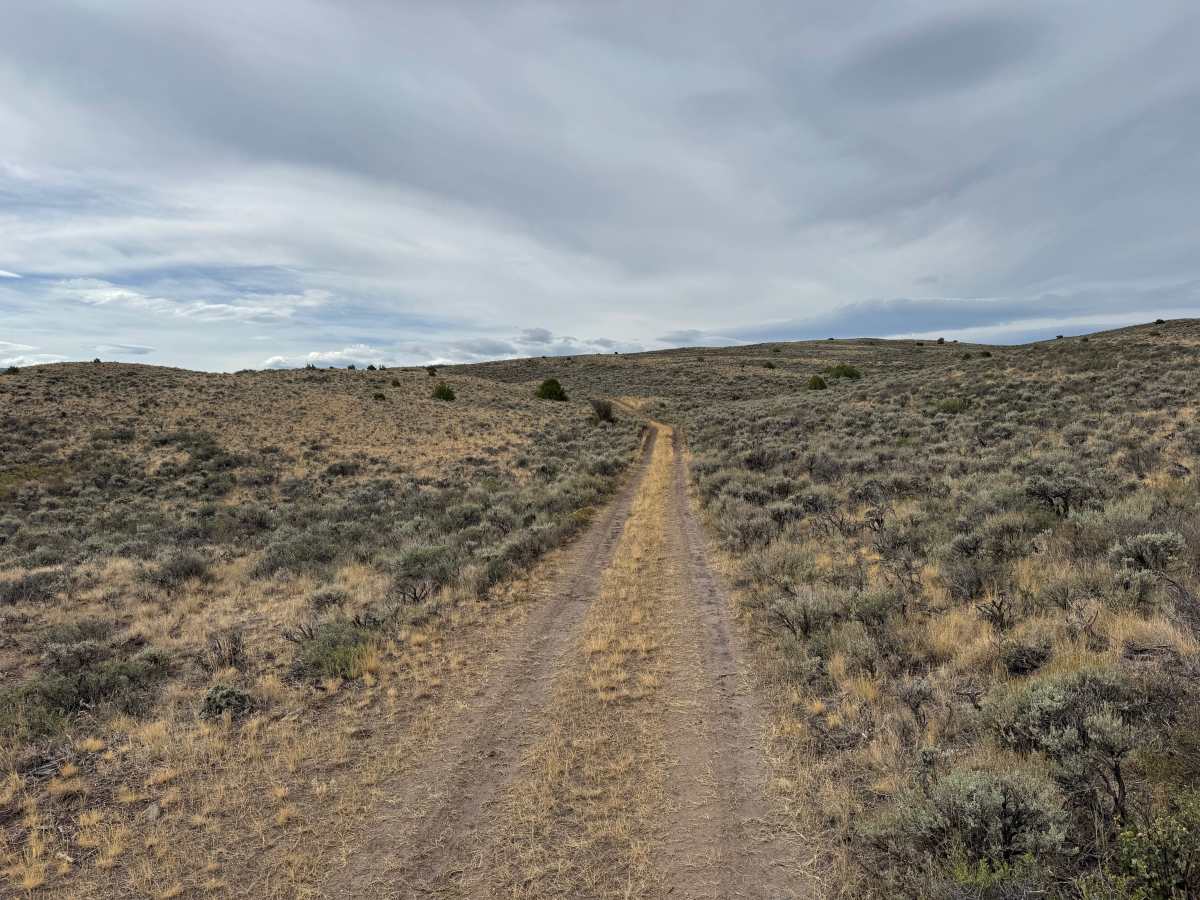
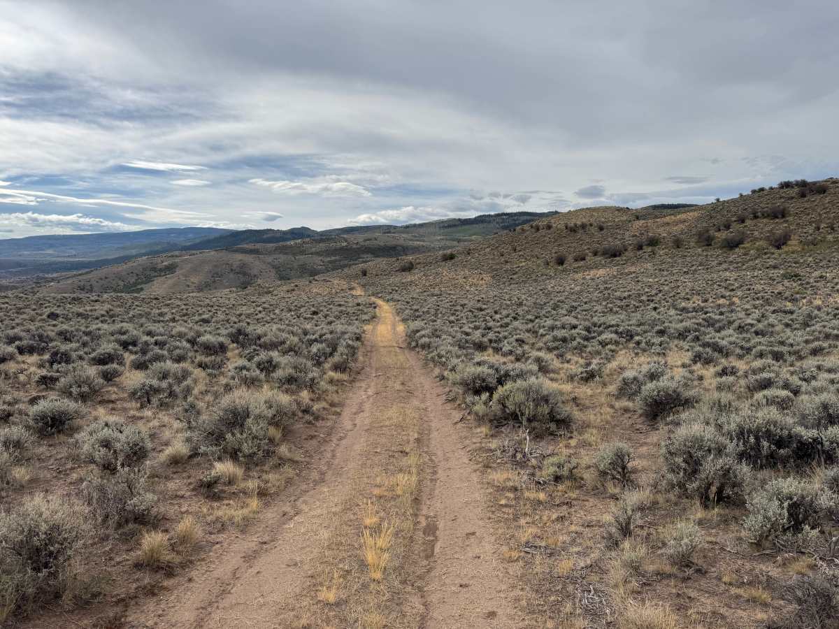
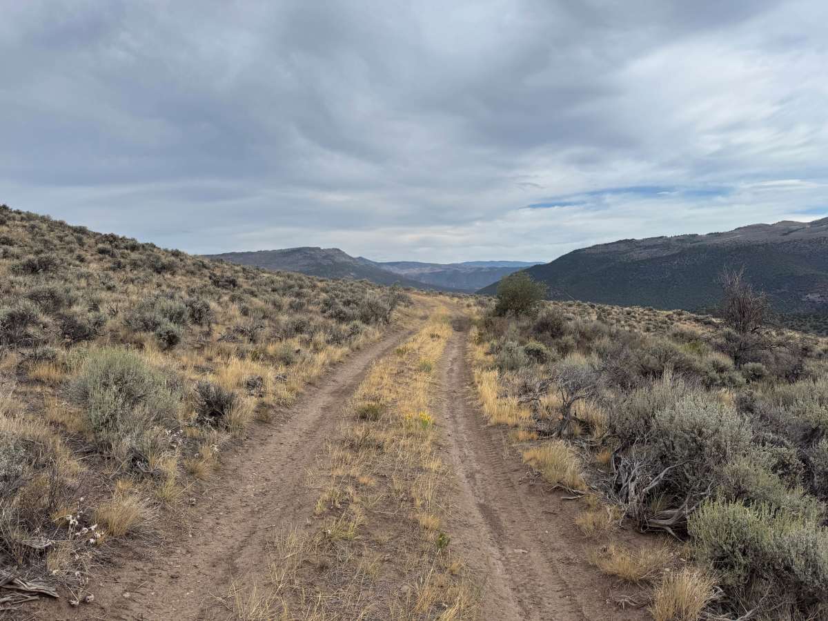
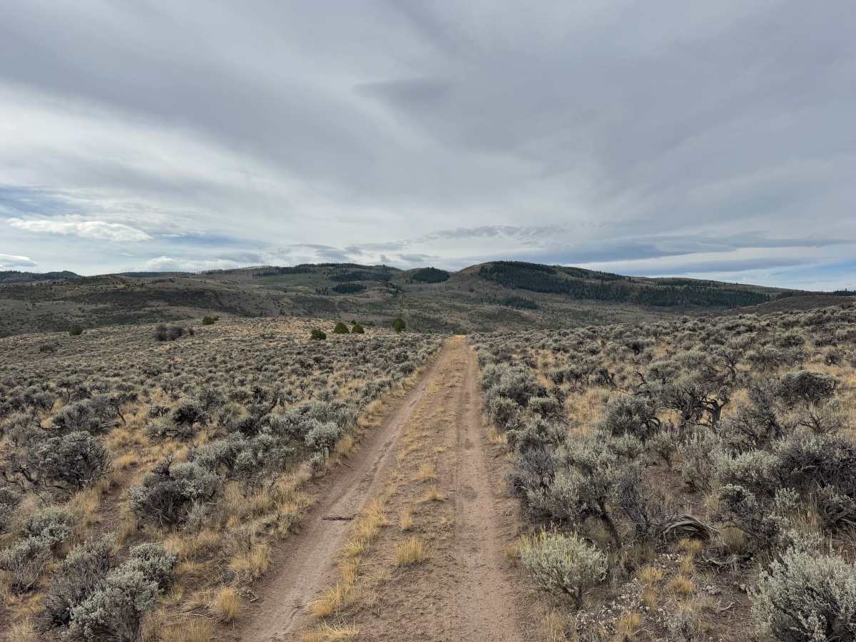
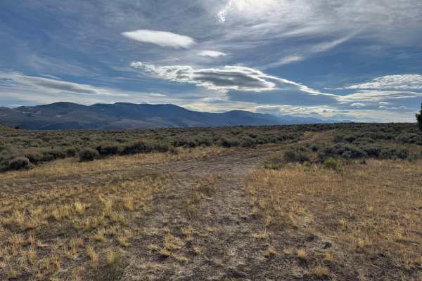
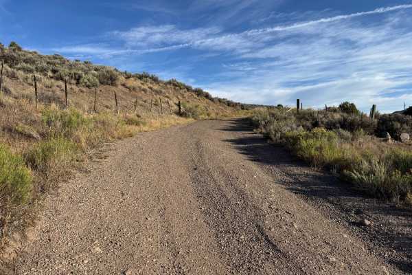
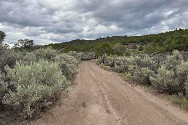
This is an out-and-back route that travels through open, rolling terrain before reaching a fence line where the route is no longer listed as being on public land. A fairly large area near the end provides enough room to turn around and return the way you came. The trail is primarily a narrow, one-vehicle-wide two-track consisting of hard-packed dirt with some softer, dusty sections. Expect occasional ruts, dips, and whoops caused by natural erosion, but there are no major obstacles along the route. The surrounding landscape is predominantly open sagebrush and dry grasses with scattered shrubs and small trees. The lack of wider areas along much of the route can make passing another vehicle difficult. The rolling terrain also provides expansive views of the surrounding hills and distant mountains. Motorized travel is seasonally closed from December 1 through April 15 to protect wintering wildlife.
Difficulty
This is an easy dirt two-track with no major obstacles. Expect minor ruts, dips, and whoops from natural erosion along with occasional uneven sections. The route has gentle rolling grades and remains relatively smooth throughout. Wet conditions could make the dirt surface muddy, slick, and more difficult to travel.
History
The mountains surrounding Eagle, Edwards, and Avon have long been used for transportation, ranching, grazing, timber, mining, and recreation. Many of the roads found throughout the area developed from older access routes connecting ranches, mountain valleys, grazing areas, and resource sites. The region's history is closely tied to the Eagle River Valley, which became an important transportation corridor through the central Colorado mountains. Remnants of earlier land use and historic routes can still be encountered throughout the surrounding public lands.