Trail Overview
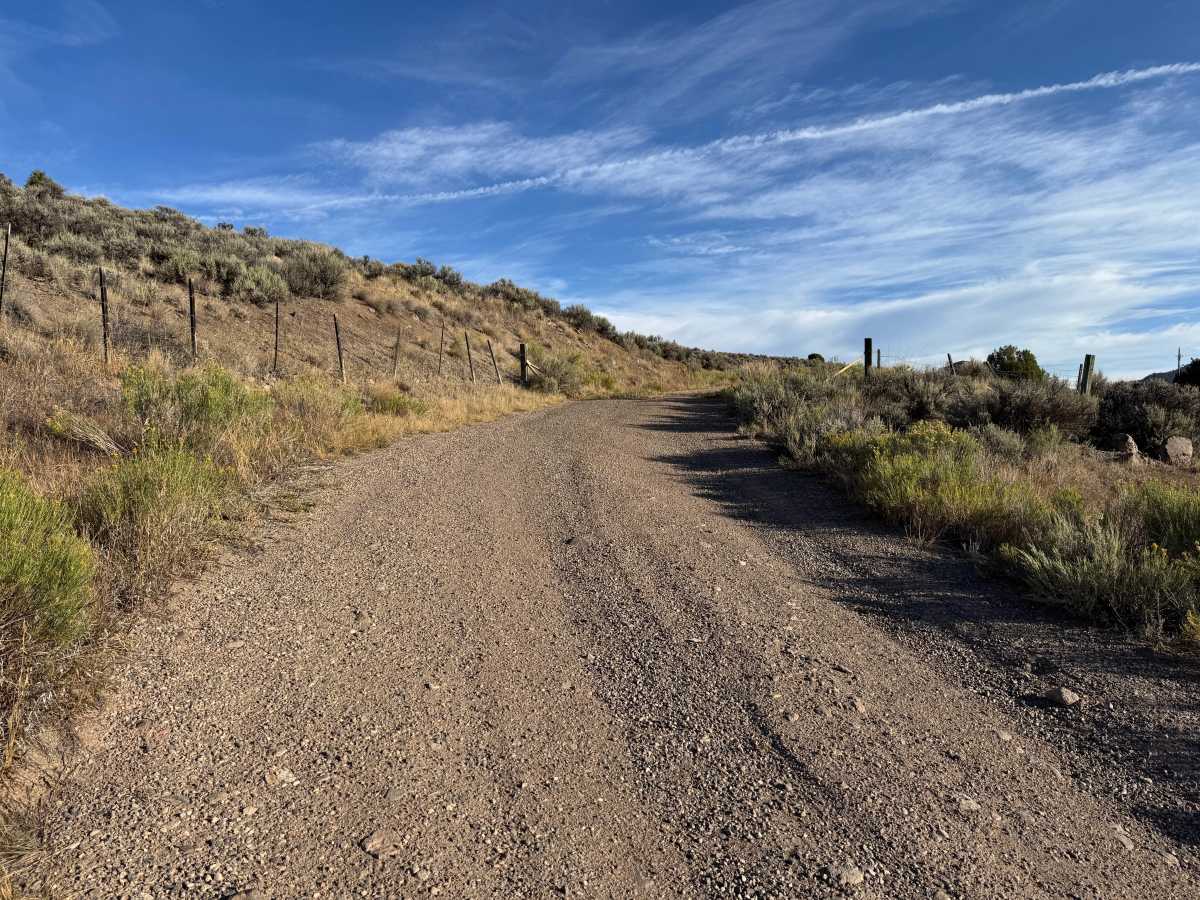
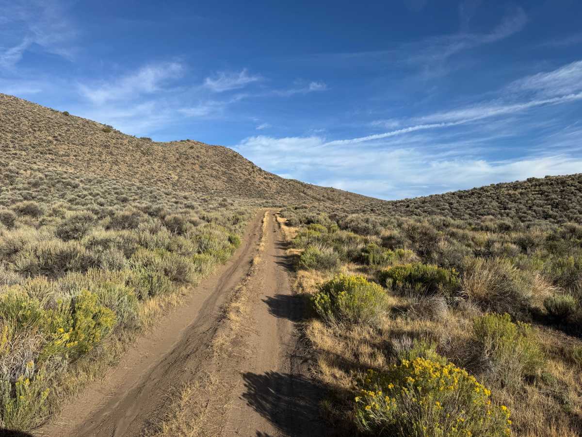
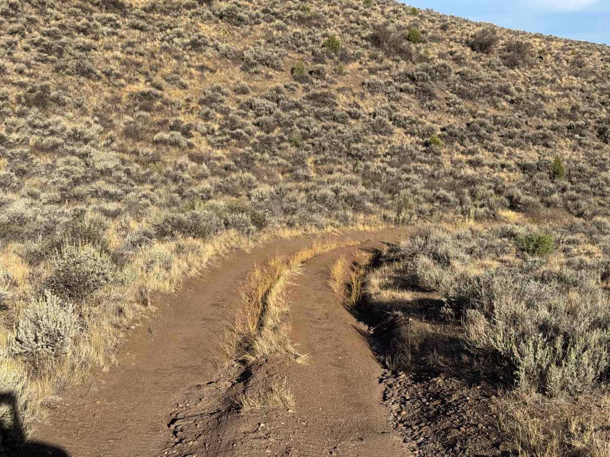
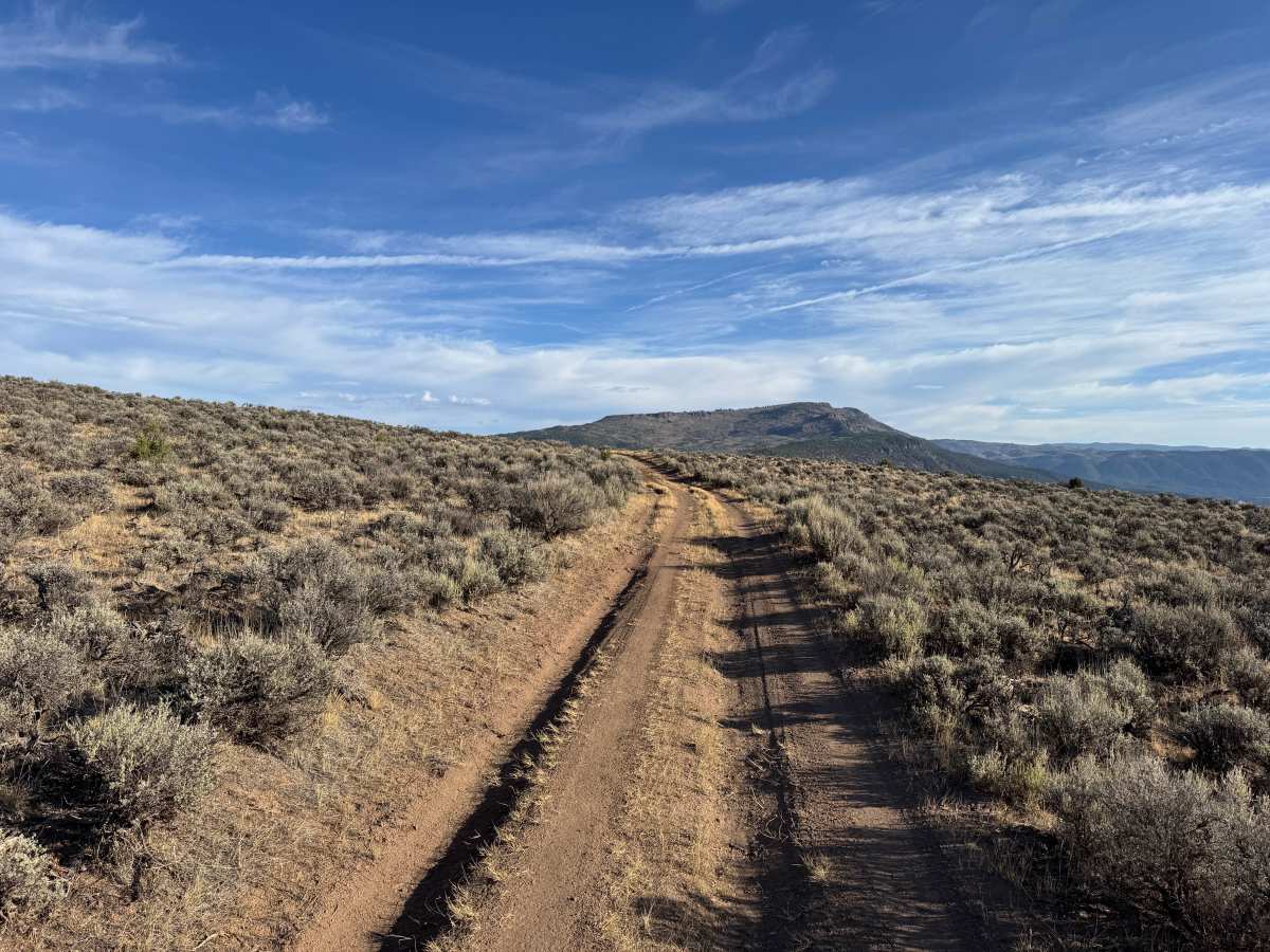
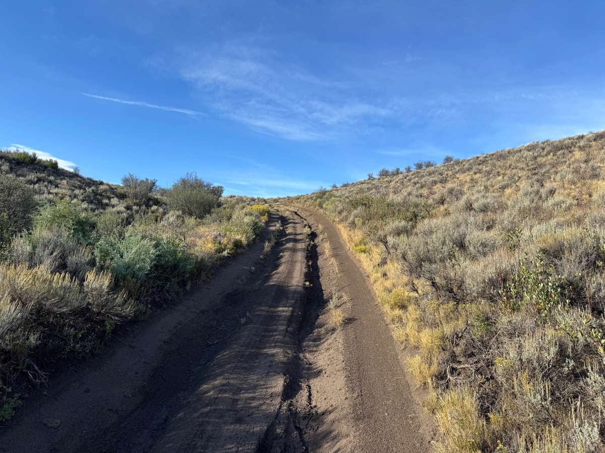
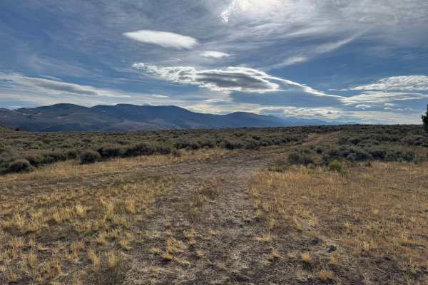
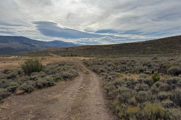
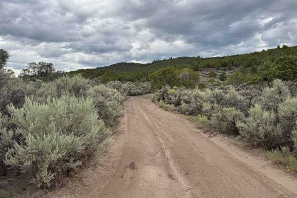
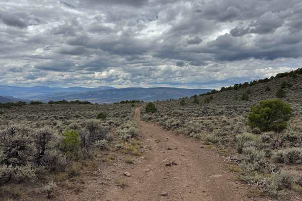
This route is mostly single-vehicle-wide as it travels through open sagebrush-covered hills with wide views of the surrounding terrain. The surface is primarily dirt with sections of loose soil, deeper ruts, and occasional whoops. Several mild hill climbs are present, along with scattered embedded rocks protruding up to approximately 10 inches. The dirt surface shows signs of erosion and could become muddy, slick, and significantly more difficult after rain or during wet conditions. Vegetation consists mostly of sagebrush, grasses, and other low-growing shrubs, leaving much of the route exposed. There are no major technical obstacles. The route ends at a gate with a large turnaround area. Motorized travel is seasonally closed from December 1 through April 15 each year.
Difficulty
Mostly dirt with deeper ruts, whoops, mild grades, and occasional embedded rocks up to 10 inches. Wet conditions can make the dirt surface muddy and significantly more difficult.
History
The mountains surrounding Eagle, Edwards, and Avon have long been used for transportation, ranching, grazing, timber, mining, and recreation. Many of the roads found throughout the area developed from older access routes connecting ranches, mountain valleys, grazing areas, and resource sites. The region's history is closely tied to the Eagle River Valley, which became an important transportation corridor through the central Colorado mountains. Remnants of earlier land use and historic routes can still be encountered throughout the surrounding public lands.