Trail Overview
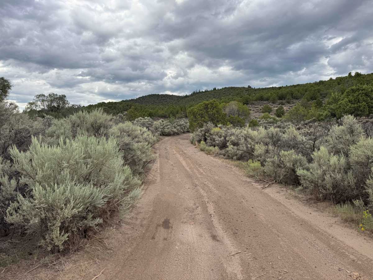
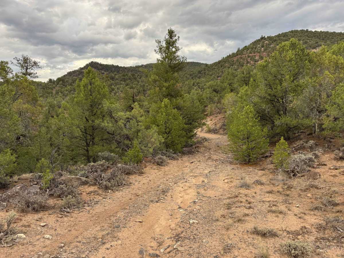
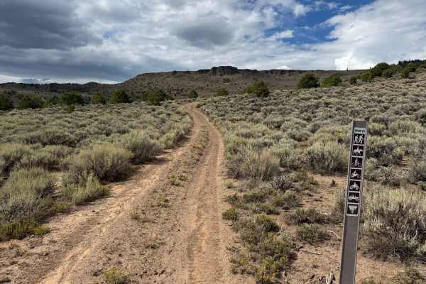
This short out-and-back route begins along the highway and follows the road north toward the small settlement of Bond. Due to changes made by local residents and restricted access through the settlement, the route no longer provides a through connection, making this primarily a short exploration rather than a point-to-point trail. How far you can travel depends heavily on the size and capability of your vehicle. Full-size trucks and other larger street-legal vehicles will not be able to negotiate the entire route, while several narrow and challenging sections appear better suited to a SxS or smaller, high-clearance, short-wheelbase vehicle. Along the way, the route offers beautiful mountain scenery and access to numerous established campgrounds. However, current mapping indicates that dispersed camping is no longer permitted along this road. Drivers should also be prepared for sections affected by significant washouts and exposed rocks, which can make portions of the route slow and technically challenging.
Difficulty
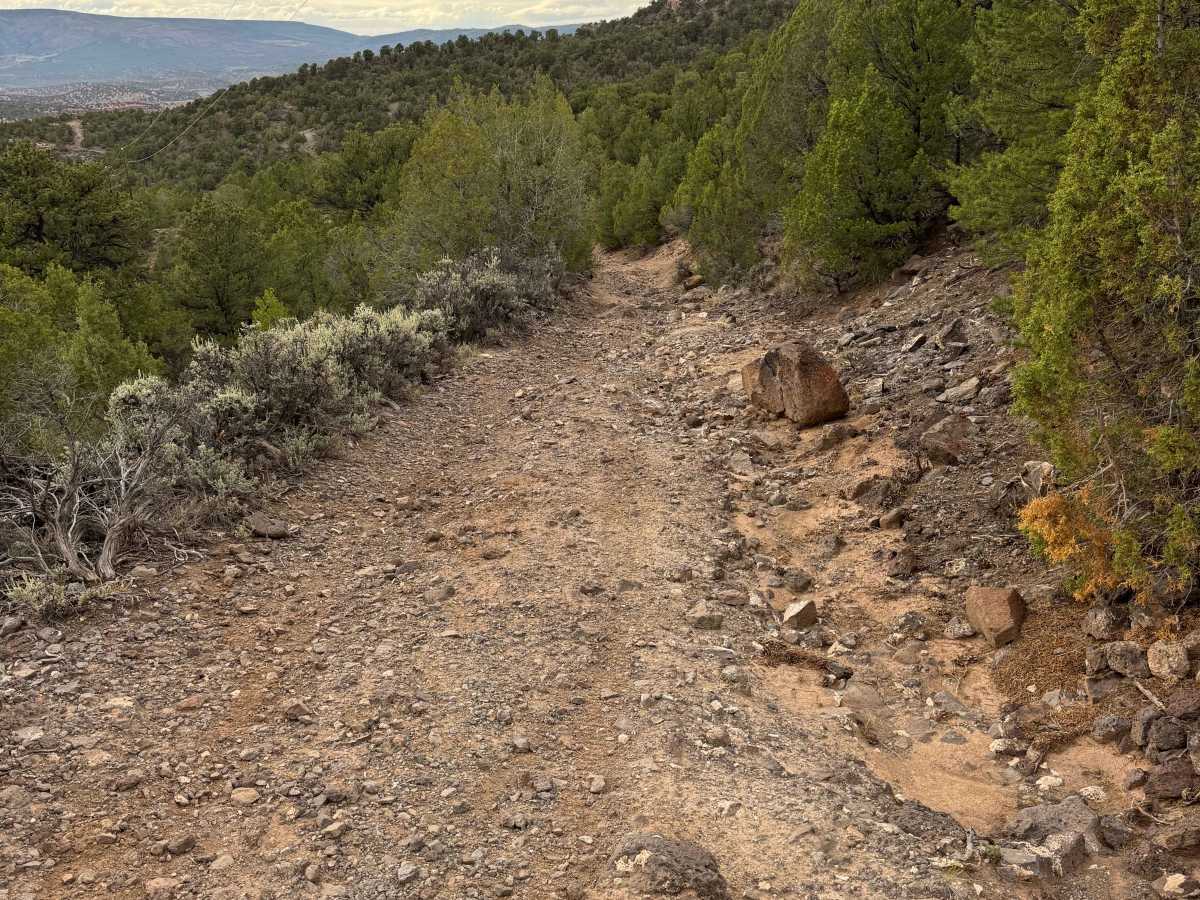
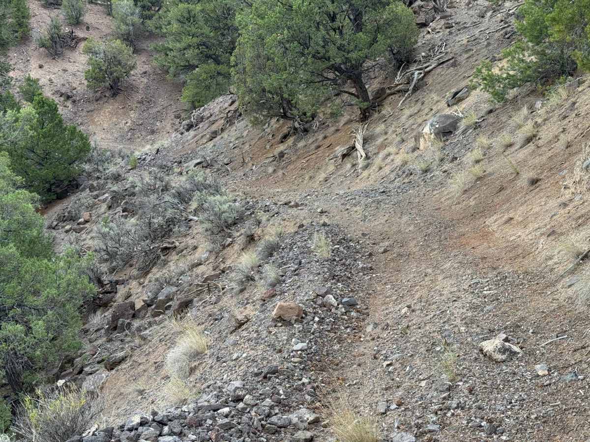
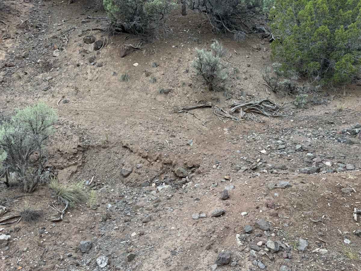
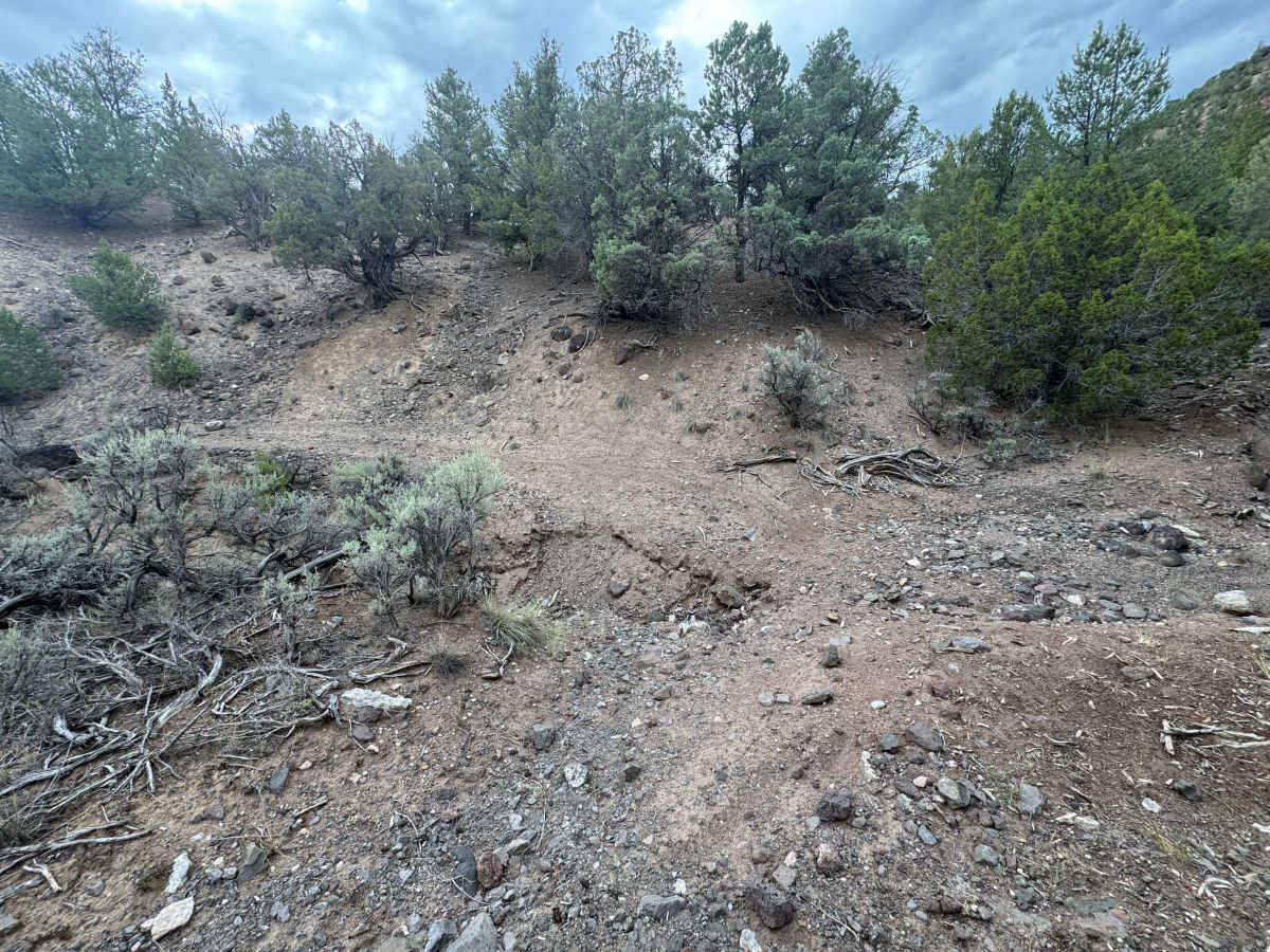
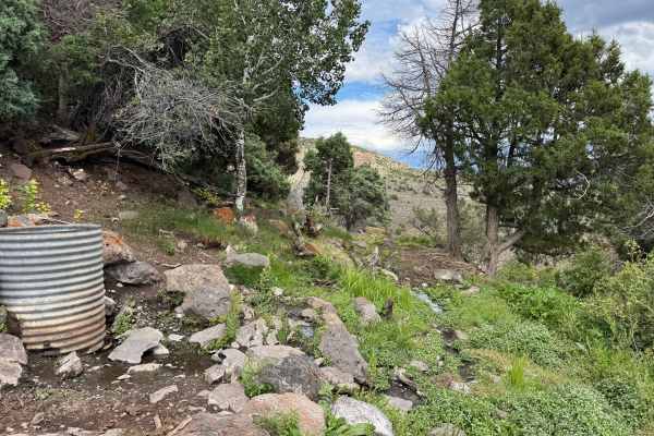
Although this route is very short, it contains three or four challenging sections that can make it considerably more difficult than the distance suggests. The first significant obstacle is a moderate grade with several large embedded rocks that require careful tire placement and adequate ground clearance. Shortly afterward, a substantial washout may become the turnaround point for many vehicles larger than an ATV. Beyond the washout, the route narrows considerably as it follows an off-camber shelf road, which should be carefully evaluated before proceeding. The difficulty rating for this short route is based on dry conditions; wet weather, snow, or recent runoff could significantly increase the difficulty and make some sections impassable for smaller or less capable vehicles.
History
Yarmony Reservoir and Yarmony Mountain, near McCoy, have a history stretching back thousands of years. The Yarmony area was used by Native Americans for at least 7,000 years, and an archaeological site near the base of Yarmony Mountain contains evidence of ancient camps and a pit house. The mountain and surrounding Yarmony Park were named for Yarmonite, a Ute leader who was known for maintaining friendly relations with early settlers in the region during the late 1800s. Homesteaders began settling Yarmony Park in the 1890s, and the valley became an important ranching and agricultural area, with Yarmony Creek providing irrigation water. Historical photographs document Charley McCoy’s upper ranch and reservoir on Yarmony Creek, surrounded by early homesteads, showing how the reservoir and creek were part of the area’s ranching history.