Trail Overview
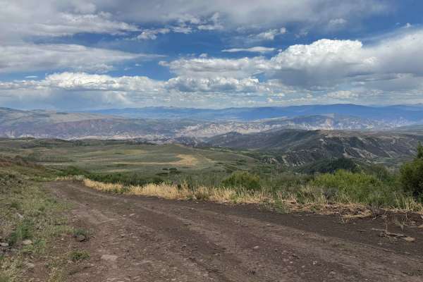
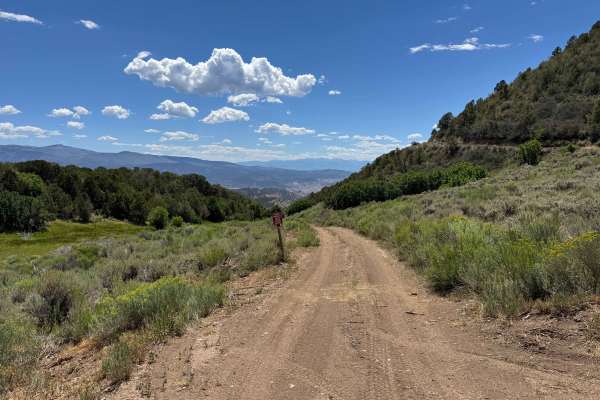
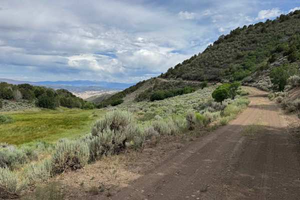
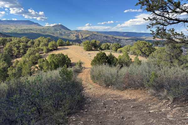
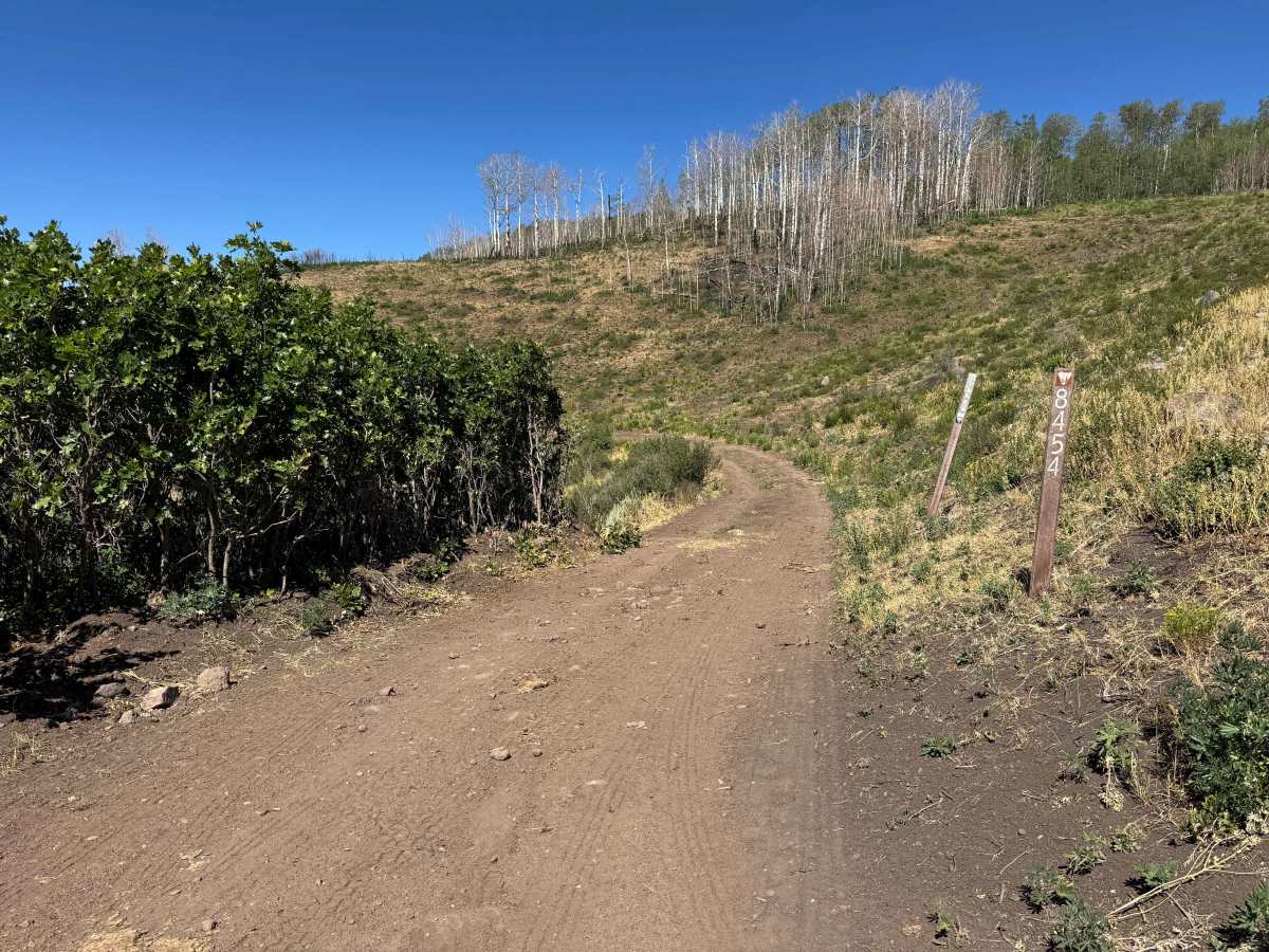
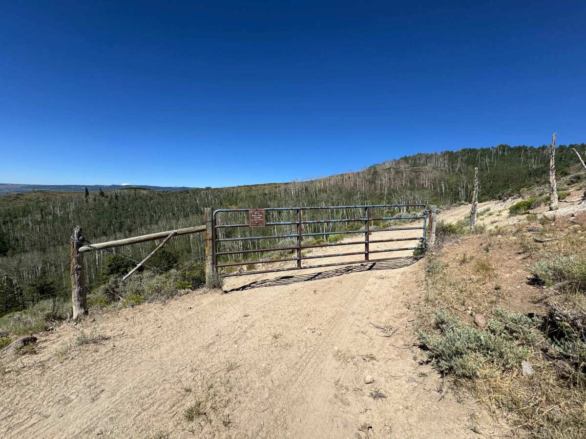
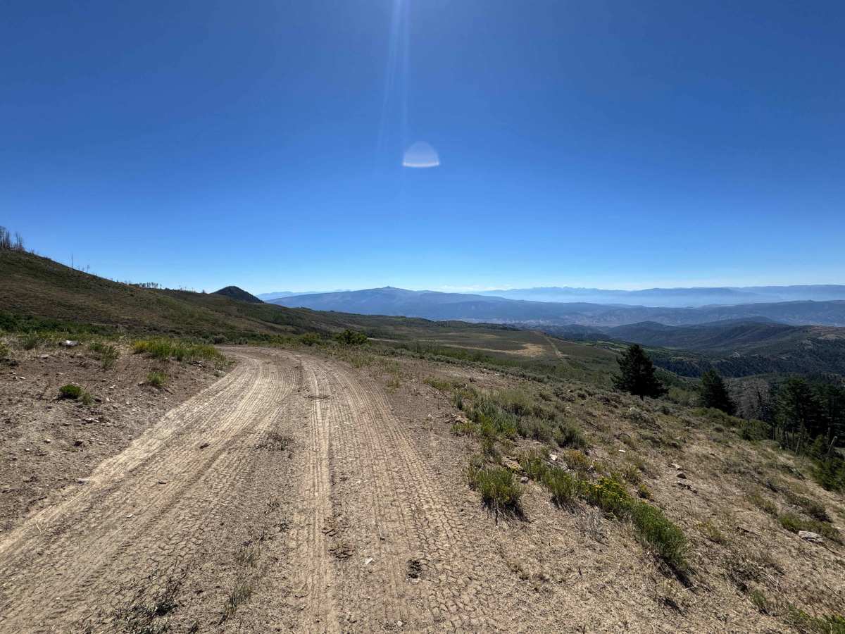
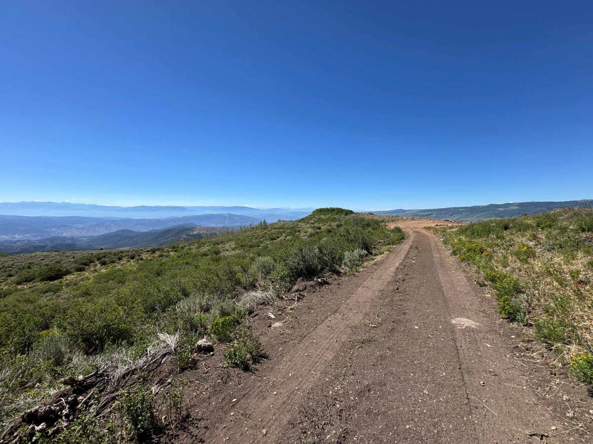
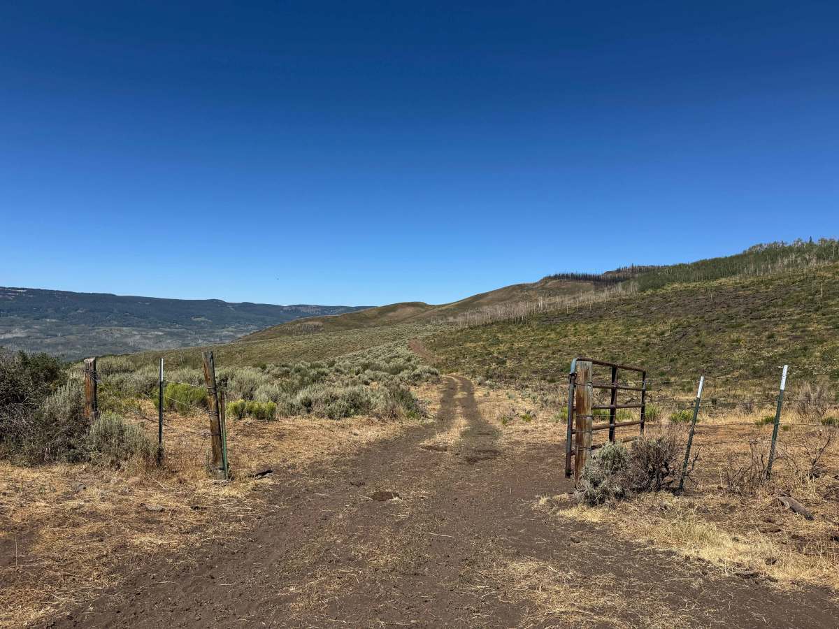
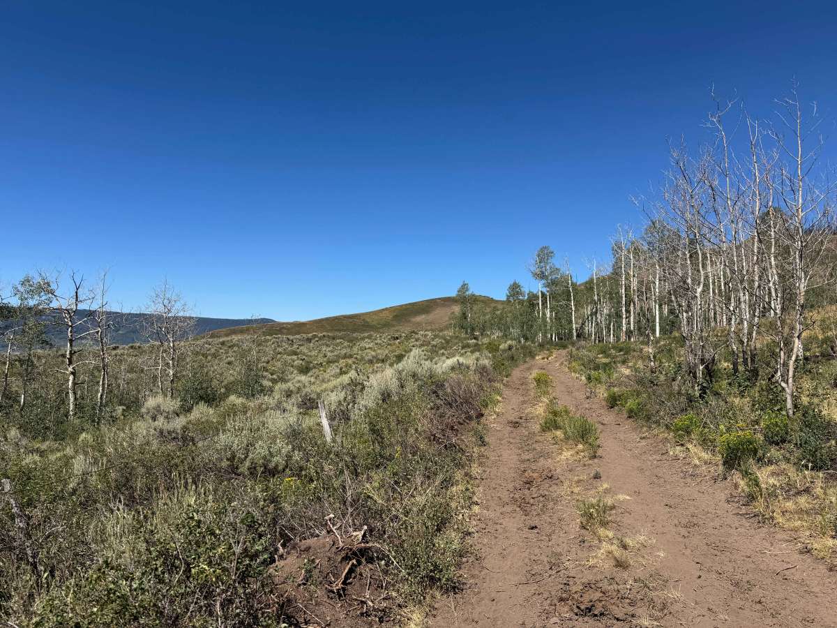
This scenic route climbs toward the high country above Sweetwater Canyon, passing through open grazing allotments where cattle are commonly encountered throughout the summer. Please leave every gate exactly as you find it, as they are essential for managing livestock. The drive is generally easy, with a few moderately steep climbs and descents, along with occasional muddy sections where water crosses the road and shaded areas remain damp from frequent cattle activity. As you gain elevation, the lush meadows give way to open ridgelines, and the mapped route gradually fades out, marking the end of the designated trail. For those looking to continue the adventure, a much steeper, loose, and rocky track climbs directly toward the cliffs, offering an optional challenge for experienced 4WD drivers.
Difficulty
In dry conditions, this is a straightforward route that presents few challenges for most drivers. While there are a handful of spots where engaging 4WD or using careful tire placement may be beneficial, the road is generally easy to navigate and offers a relaxed, stress-free drive.
History
The high country surrounding Sheep Creek and Hack Lake has a long history of seasonal use. For centuries, the Ute people traveled these mountains to hunt and gather before ranchers and outfitters began using the area in the late 1800s. Many of today’s roads and trails follow routes once used to move livestock and provide access to summer grazing lands in the Flat Tops. Today, the region remains prized for its alpine forests, abundant wildlife, and scenic backcountry, with Hack Lake serving as a gateway to the adjacent Wilderness Study Area and the vast Flat Tops Wilderness beyond.