Trail Overview
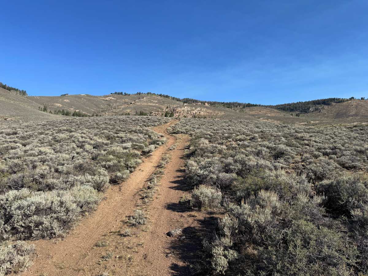
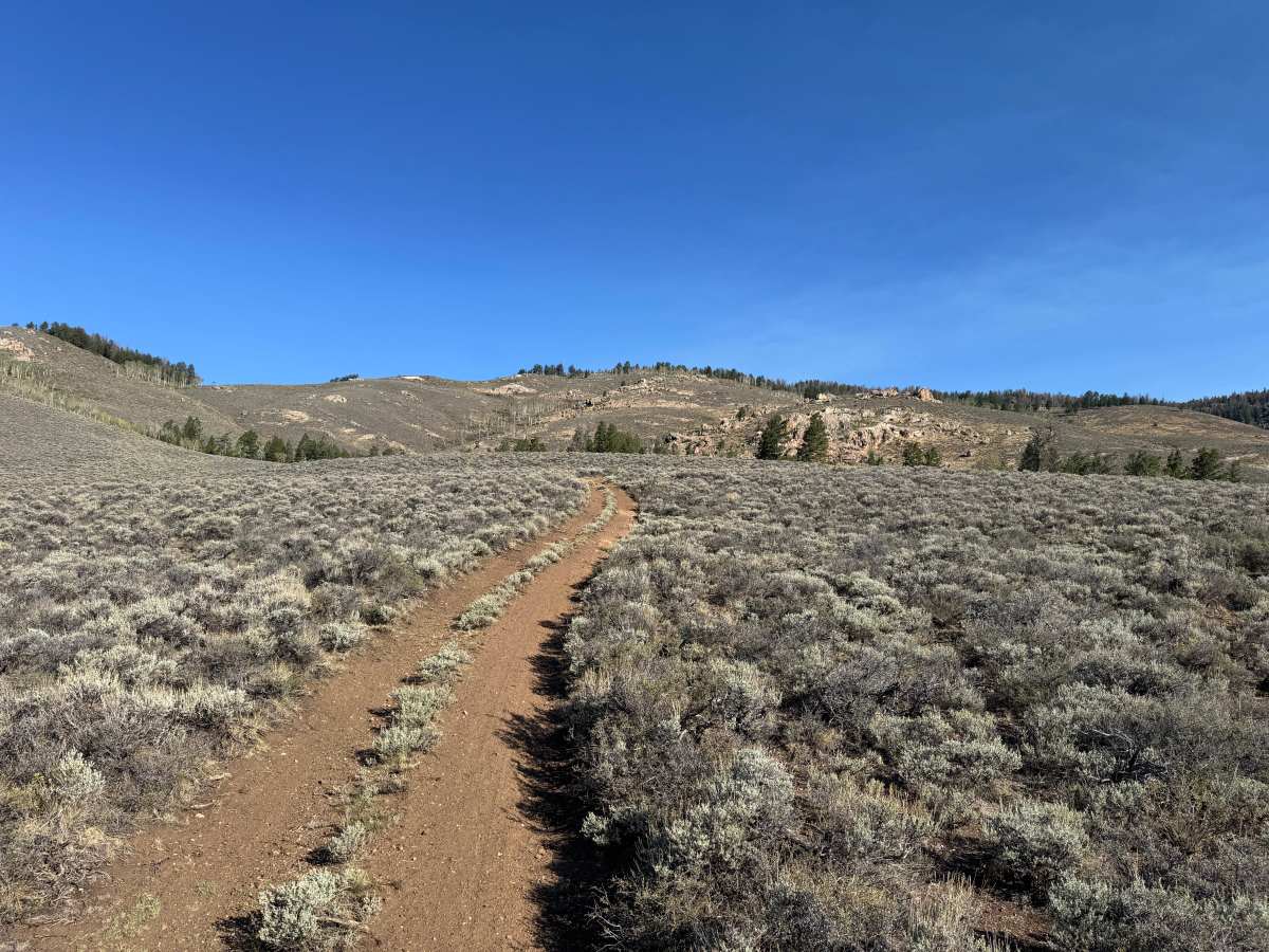
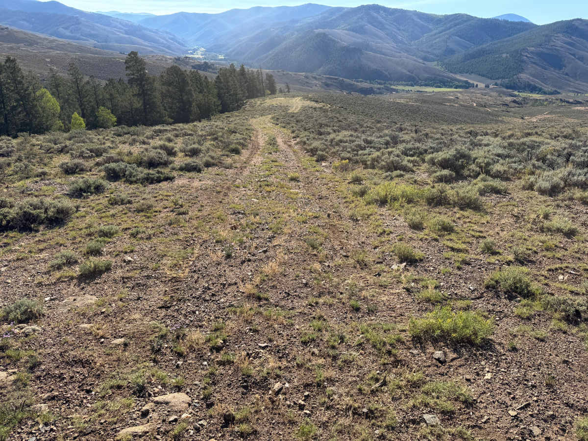
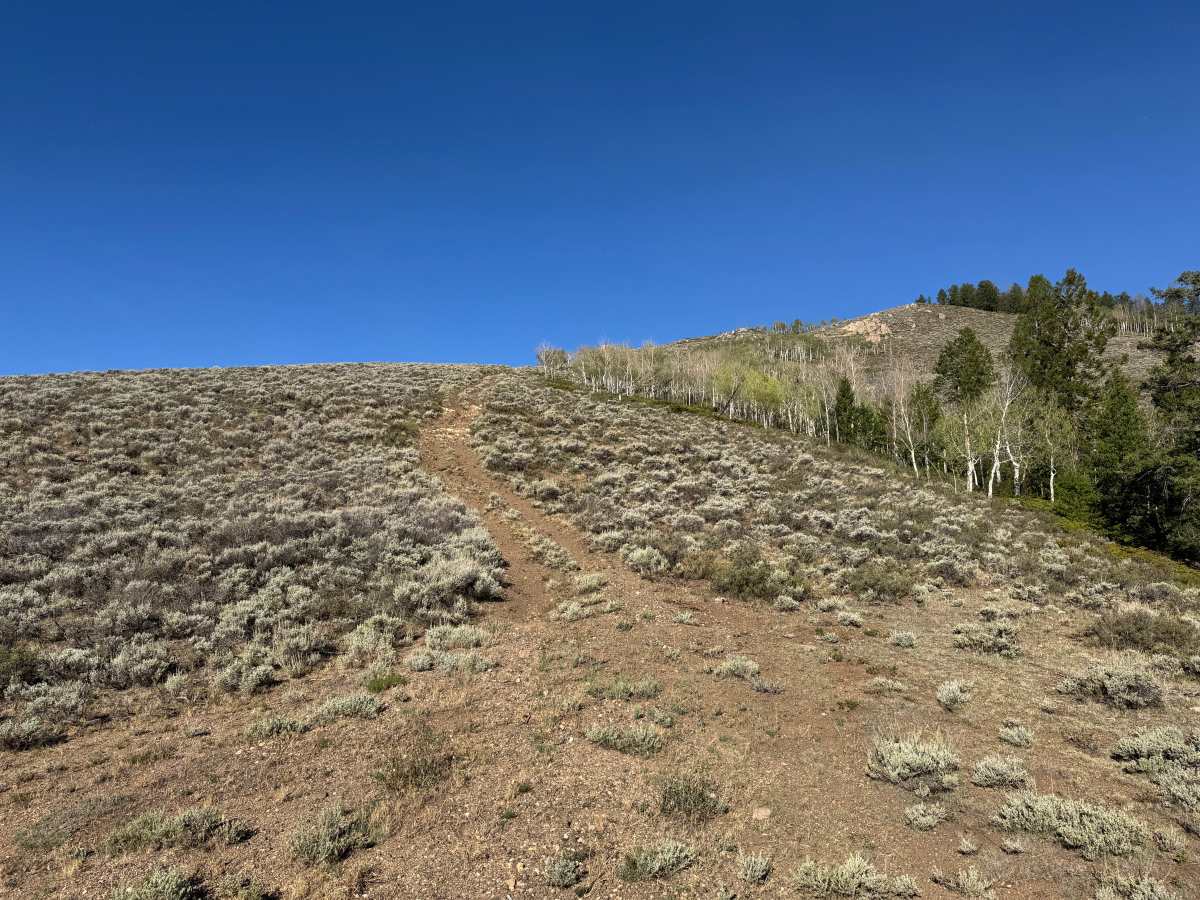
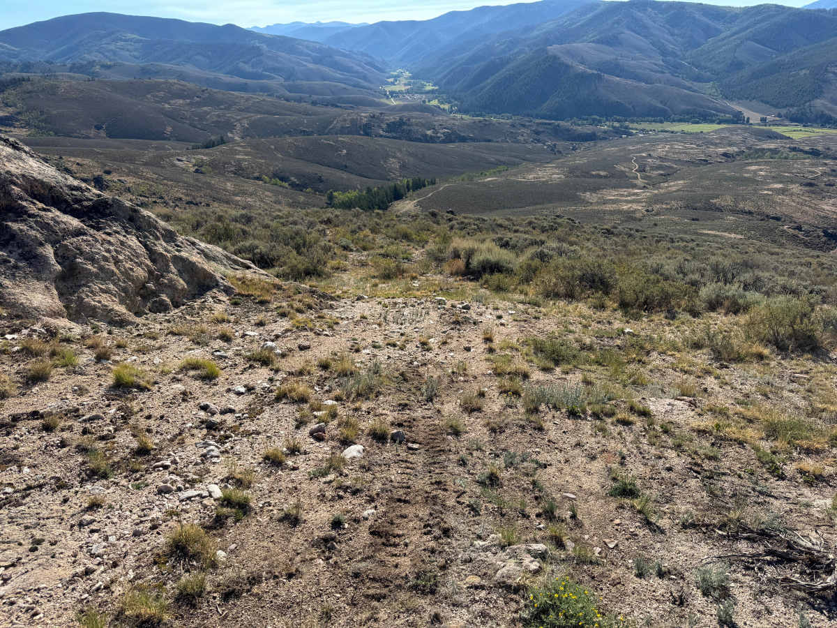
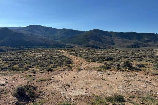
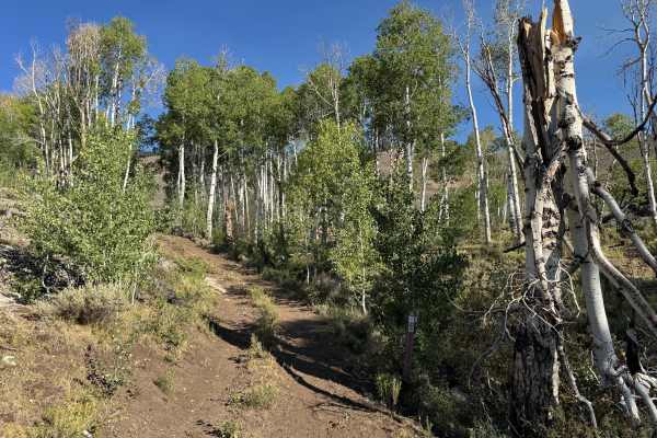
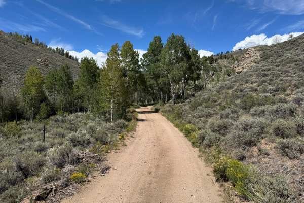
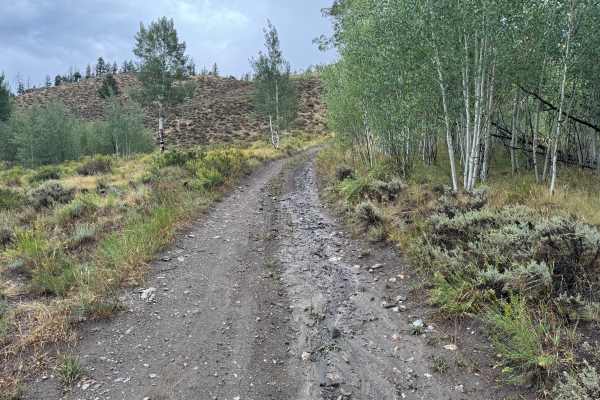
This out-and-back route climbs steadily through an open, high-elevation landscape dominated by sagebrush and low-growing vegetation. The trail surface consists primarily of packed dirt and loose gravel with scattered small rocks, becoming rockier and less defined as it approaches the upper portion of the route. The surrounding terrain is largely open, with occasional stands of aspens and conifers along the nearby hillsides. As the route gains elevation, the expansive landscape provides impressive views across the valley and toward the surrounding mountains and Gunnison National Forest. The route eventually reaches a rocky area where travel ends, and vehicles must turn around before returning the same way. From this elevated point, the open terrain provides excellent views of the route winding across the sage-covered hills below.
Difficulty
The route consists primarily of packed dirt and loose gravel with scattered small rocks and no major technical obstacles. The primary challenge is the steep grade leading to the top, along with the limited turnaround space near the rocky endpoint, which may require additional maneuvering for longer-wheelbase vehicles.
History
The Ohio City and Gold Creek area developed around mining during Colorado's late-19th-century mining era. Gold discoveries in the region date to the 1860s, but development accelerated after silver discoveries around 1879–1880. The surrounding Gold Brick Mining District contained numerous mines and prospects, including gold and silver workings extending into the mountains surrounding Ohio City. Mining declined around the turn of the century but experienced another period of production during the 1930s and early 1940s. Today, old roads, mine sites, and other remnants scattered throughout the surrounding mountains reflect this historic period of mineral exploration and development.