Trail Overview
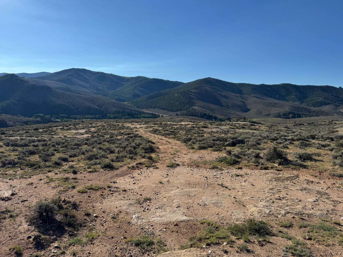
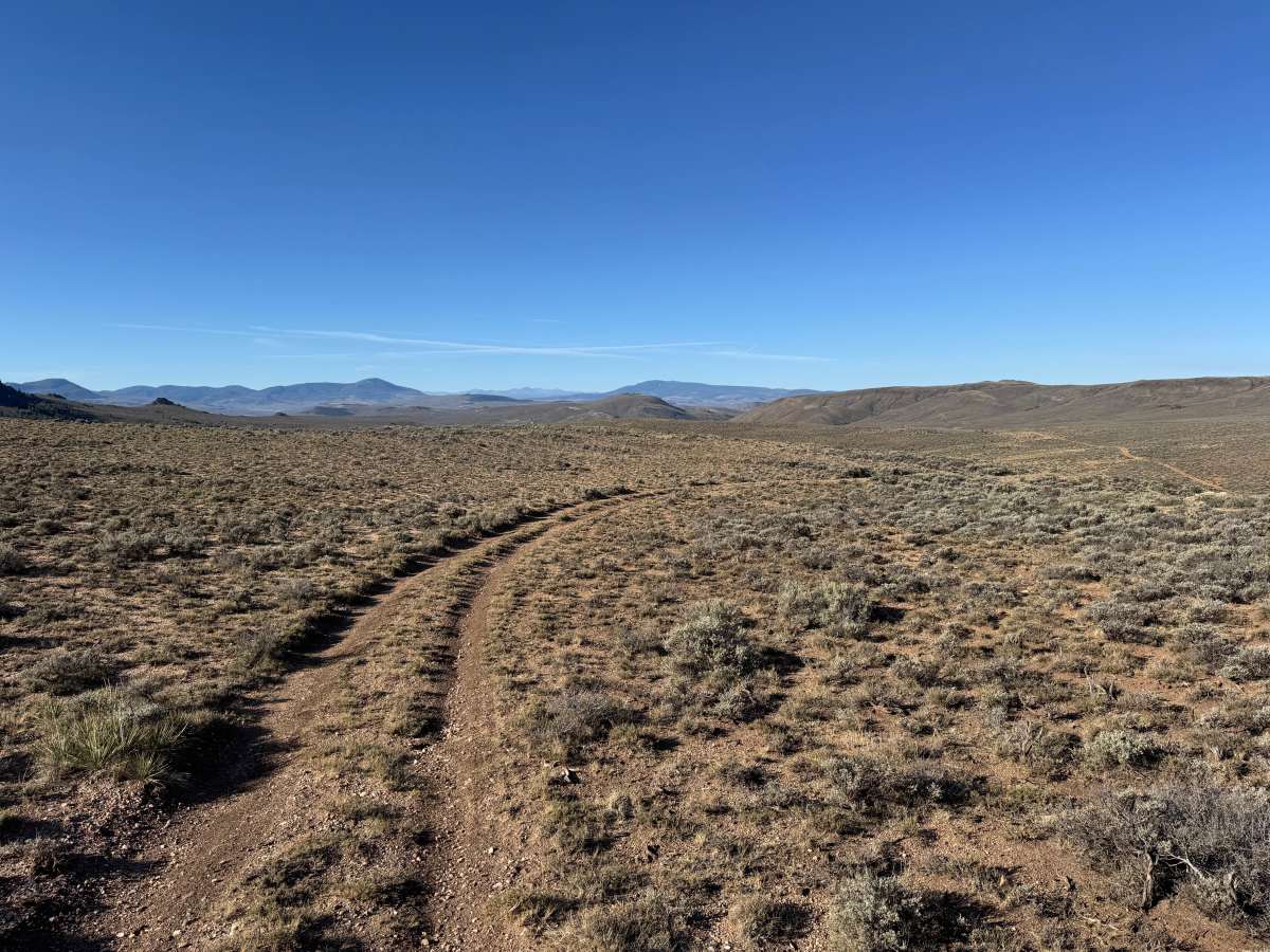
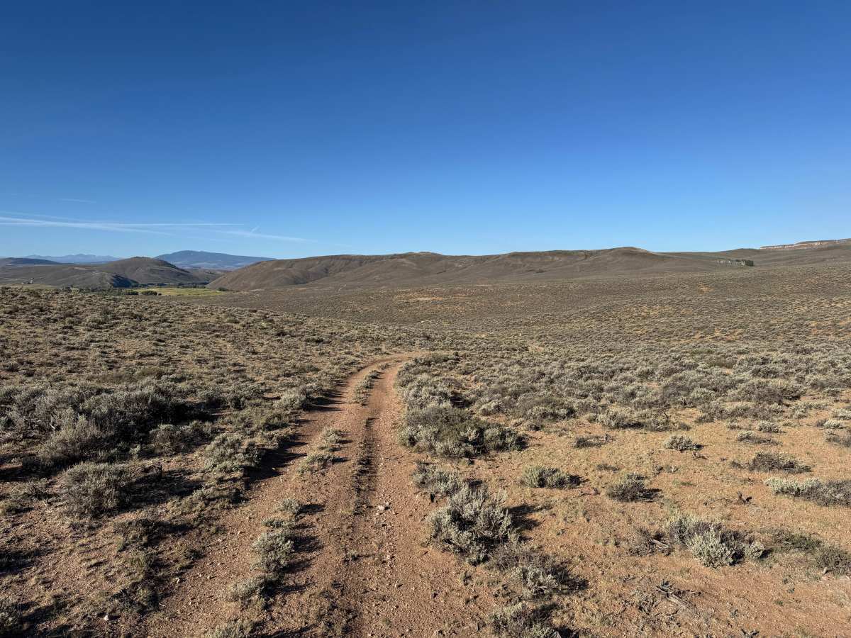
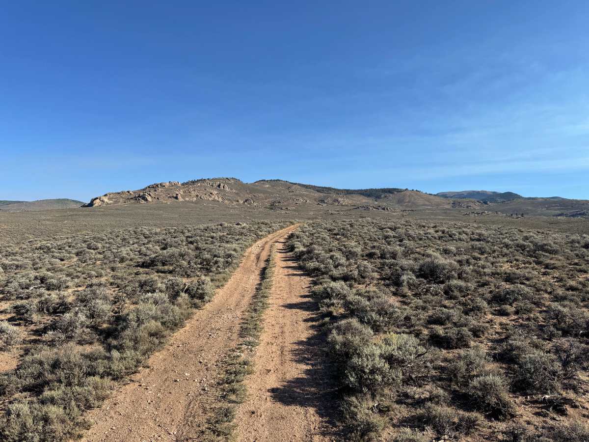
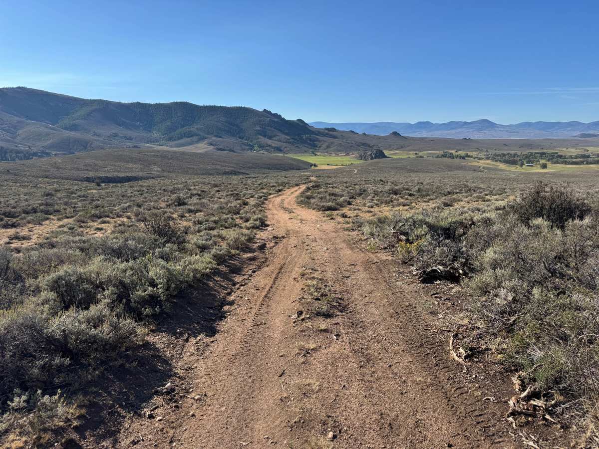
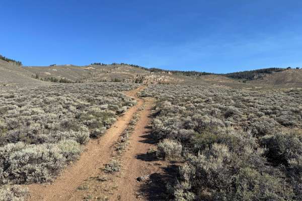
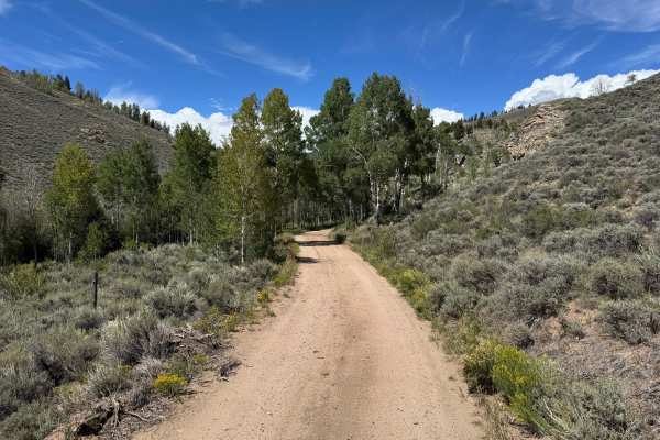
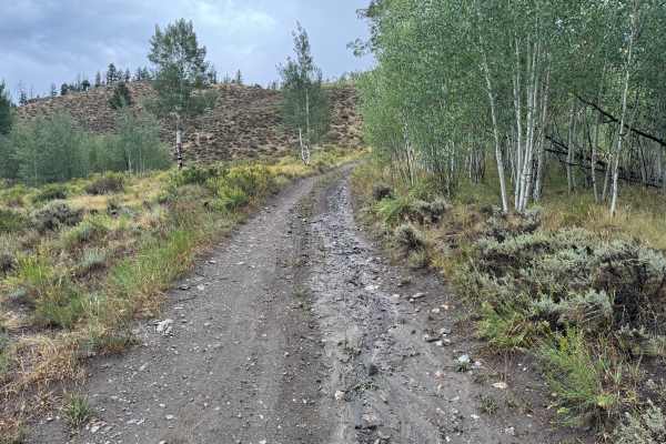
This route travels through wide-open sagebrush country with expansive views of the surrounding mountains and rolling terrain of the Gunnison National Forest. The trail surface is primarily dry dirt mixed with loose gravel and small scattered rocks, and in some areas the track becomes faint as loose soil is displaced by wind and vehicle traffic. Much of the route is only one vehicle wide, with sagebrush growing close to the edges and limited areas available for passing. The surrounding landscape is largely open and treeless, providing long-distance views across the valleys and toward several prominent rocky formations, some of which are located on nearby private property. The route winds gently through the terrain with occasional shallow dips and whoops but otherwise maintains a relatively consistent dirt surface.
Difficulty
The trail consists primarily of dirt and loose gravel with scattered small rocks, shallow dips, and occasional whoops. There are no major obstacles or technical sections, though the faint track and loose surface can make the route harder to follow in places. Most of the trail is only one vehicle wide with limited opportunities for passing.
History
The Ohio City and Gold Creek area developed around mining during Colorado's late-19th-century mining era. Gold discoveries in the region date to the 1860s, but development accelerated after silver discoveries around 1879–1880. The surrounding Gold Brick Mining District contained numerous mines and prospects, including gold and silver workings extending into the mountains surrounding Ohio City. Mining declined around the turn of the century but experienced another period of production during the 1930s and early 1940s. Today, old roads, mine sites, and other remnants scattered throughout the surrounding mountains reflect this historic period of mineral exploration and development.