Trail Overview
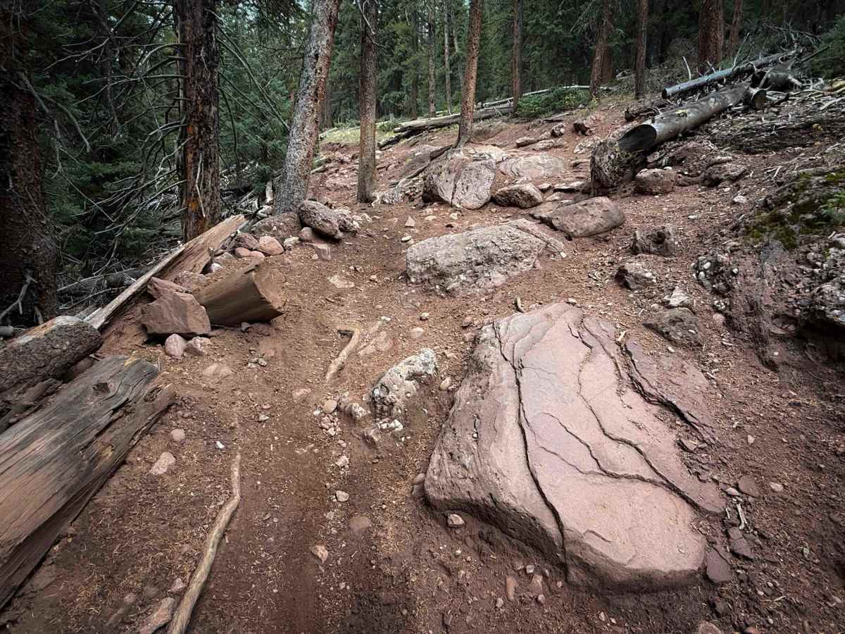
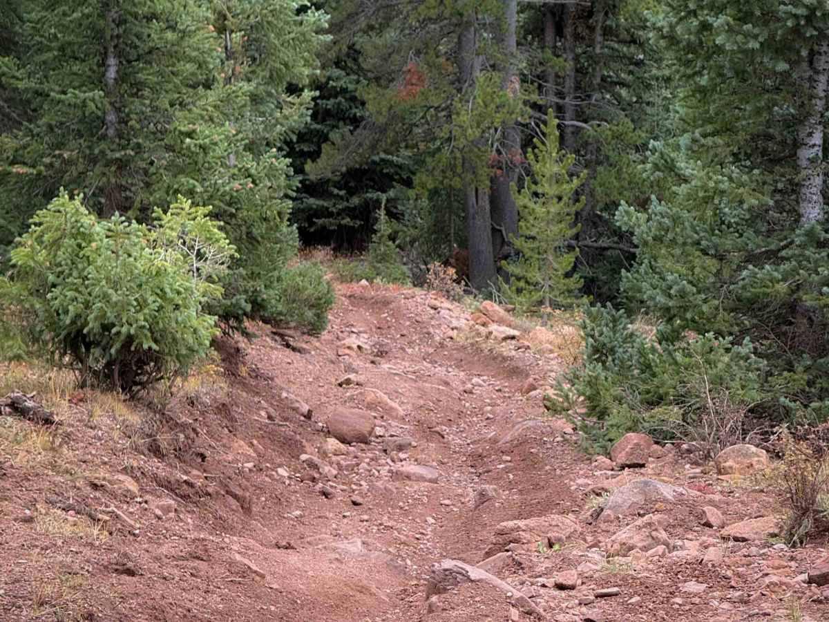
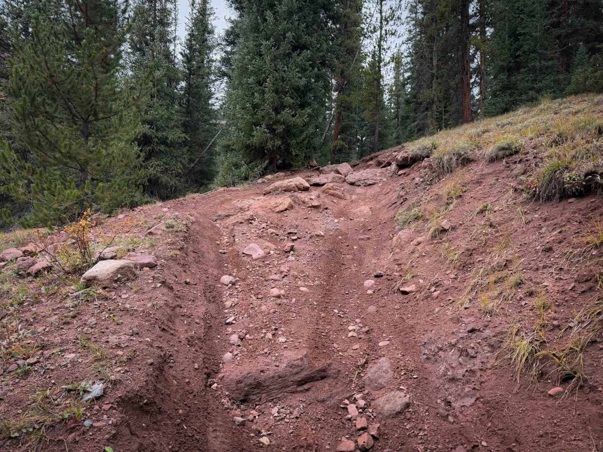
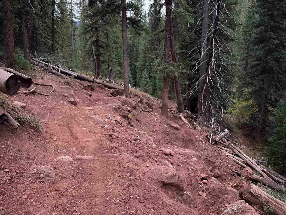
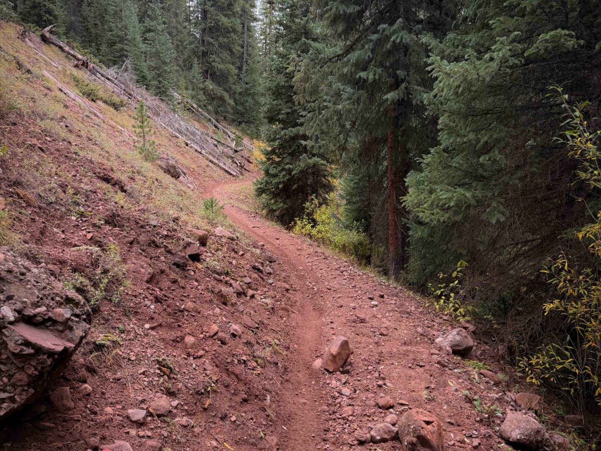
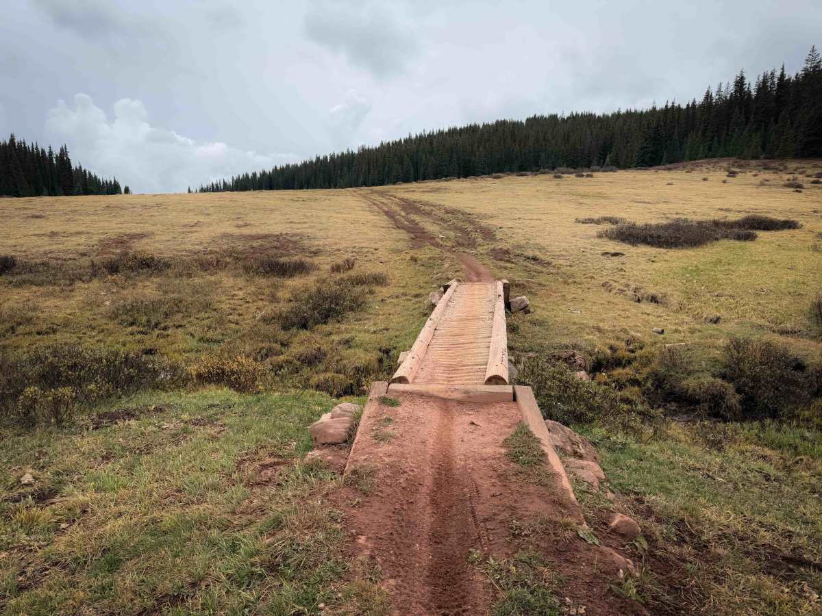
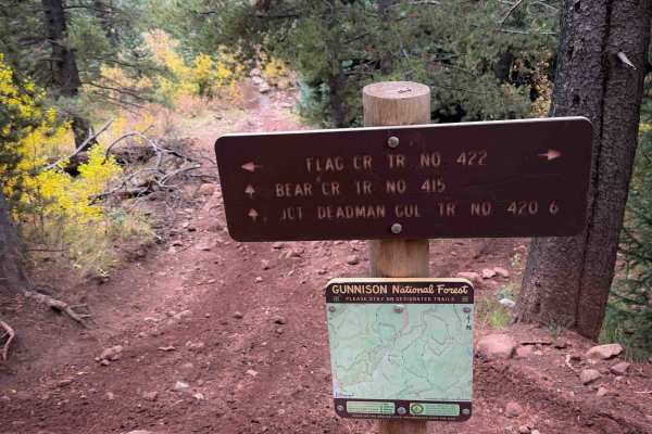
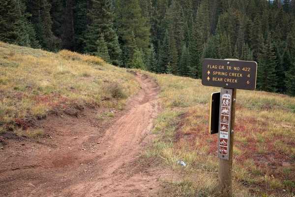
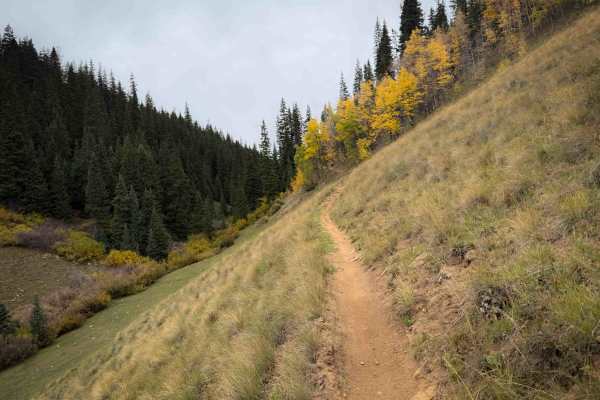
The Bear Creek single track trail is split into two segments – a 2.3-mile northern segment that connects Flag Creek Trail to FS Road 744.3C, and a 3.3-mile-long segment that goes south from FS Road 744 to connect to Deadman Gulch Trail No. 420. The southern segment is slightly more difficult than the northern segment, with a few moderate rock and root obstacles. It descends gradually from north to south, dropping over 1,100 feet in elevation throughout the route. It starts in high-elevation grassy meadows on the hilltops at 11,000 feet elevation, crossing a little wooden bridge. The trail has lots of whoops and sweeping curves, cutting across the sagebrush-covered hillsides on a narrow trail. It goes through several steep spots with lots of embedded and loose rock, but the trail becomes very wide in these sections, and there is often an easier line choice through the rock. It enters a forest segment and gets very narrow and slightly off-camber, side-hilling while elevated above a creek. It curves tightly through the pine trees and comes up to a bigger obstacle that is several rutted rock ledges on a steep slope and big embedded boulders. The trail is really wide here as well, so you can try to pick the best line through the rock ledges, but it’s still an intermediate obstacle that will be challenging for beginner riders, and more difficult when riding the trail from south to north.
Difficulty
There is one significant rock obstacle on this trail on the southern half that is made of several embedded boulders and ledges and is more moderate. There are several other slightly easier rock obstacles and short, steep hills, but there is often an easier line choice through these smaller obstacles. The majority of the trail is fast and flowy, with smooth dirt and whoops. Expect changing conditions at high elevation, including fast-moving weather patterns.