Trail Overview
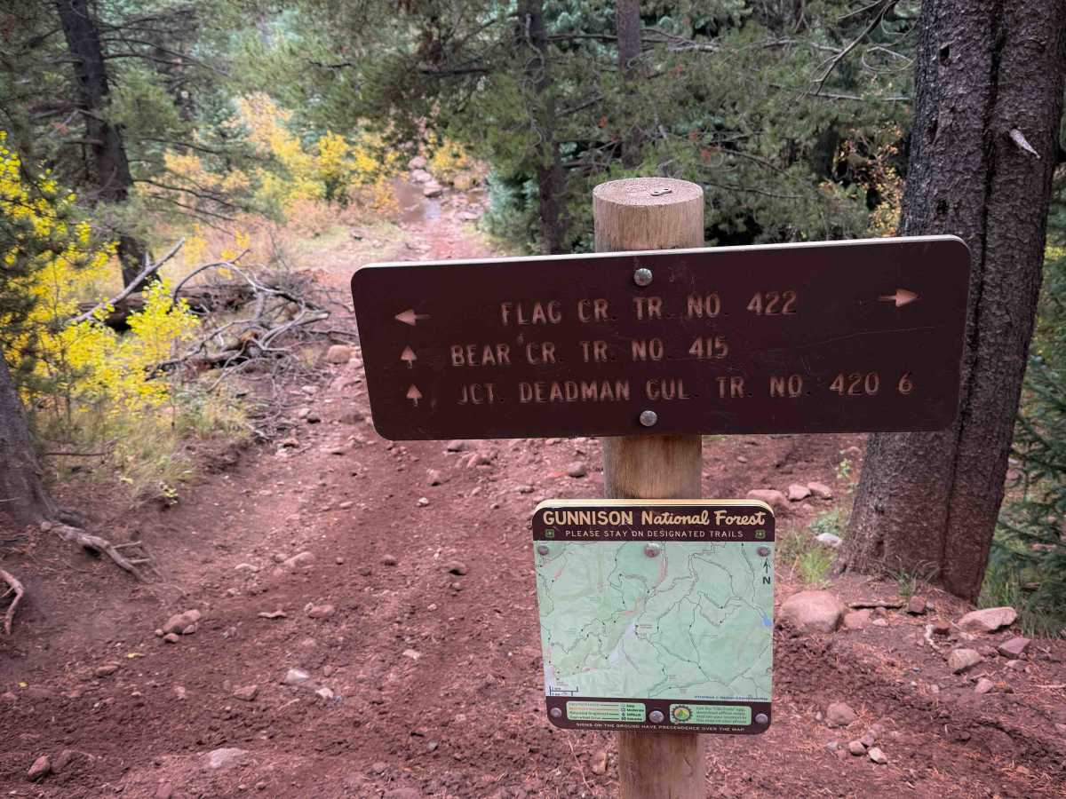
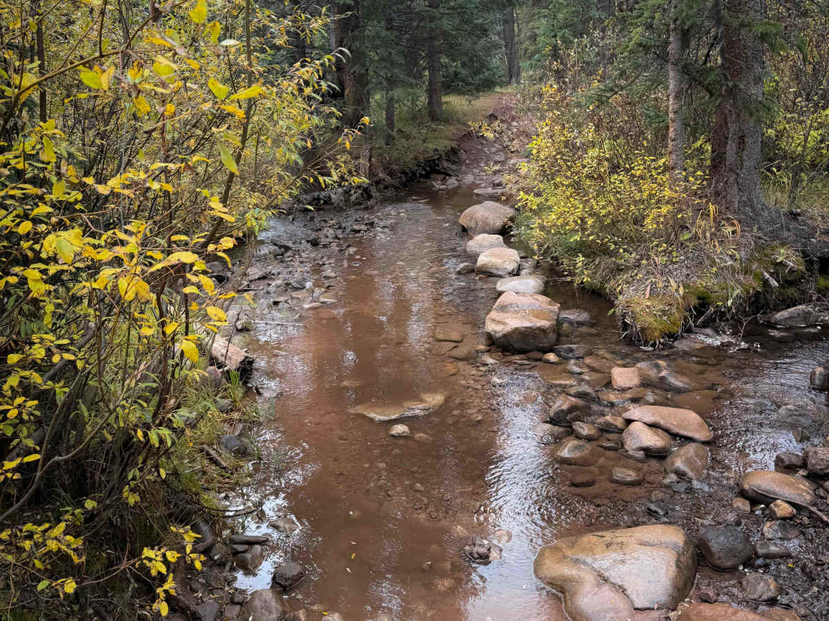
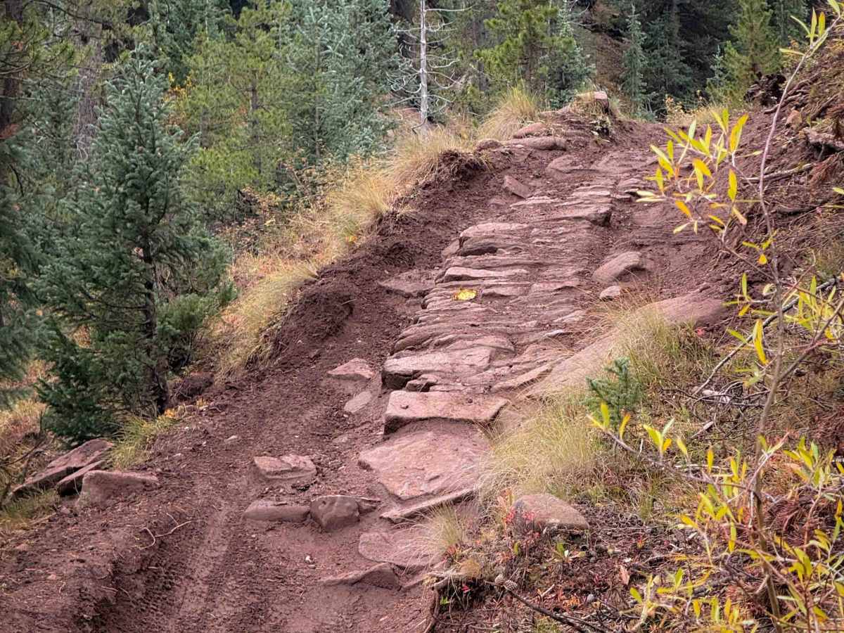
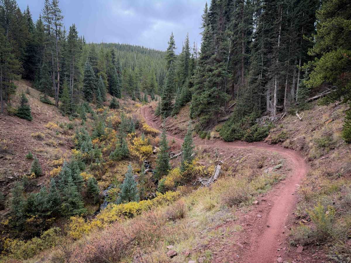
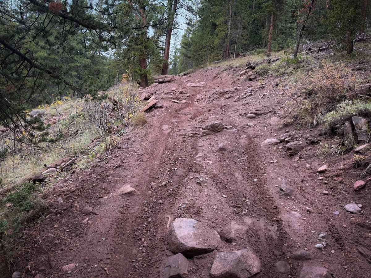
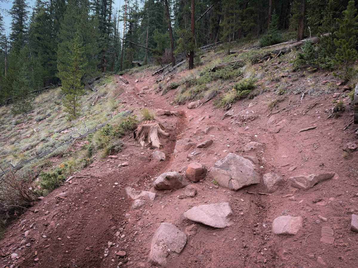
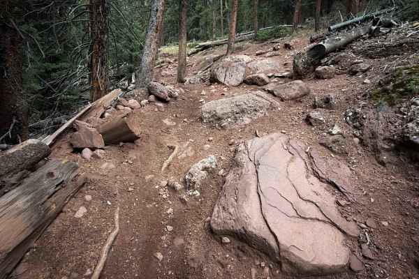
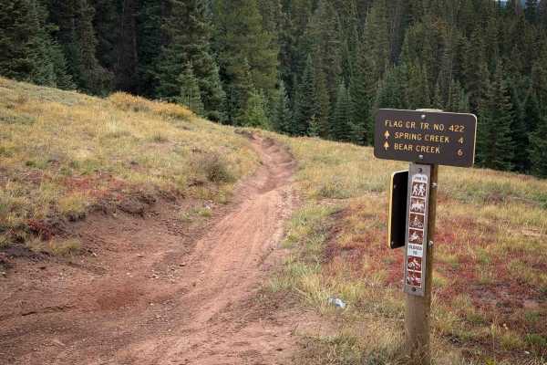
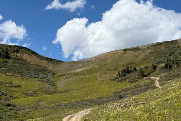
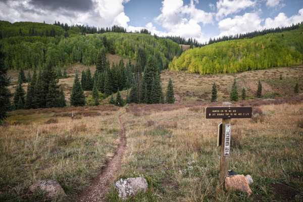
The Bear Creek single-track trail is split into two segments – a 2.3-mile northern segment that connects Flag Creek Trail to FS 744.3C, and a 3.3-mile-long segment that goes south from FS 744 to connect to Deadman Gulch Trail No. 420. The northern segment is a gradual climb from east to west, gaining over 700 feet in elevation. The east entrance starts off with a shallow stream crossing, and then it parallels the stream on a narrow singletrack cutting across sagebrush-covered hillsides through high alpine meadows. There are a few rocky and rutted sections that make the trail more of a moderate difficulty, including a few short steep climbs with embedded rock layers and roots. It’s not overly difficult and is ideal for beginner riders looking to get into more technical terrain. It’s a scenic ride, ending on the west end at a dead end on FS Road 744.3C that could be used as a parking area.
Difficulty
The majority of this trail is very easy, fast, and flowy. There are a couple of intermittent, more moderate obstacles, including embedded rock layers, roots, and short steep climbs. Expect some narrow side-hilling along the creek as well. Expect changing conditions at high elevation, including fast-moving weather patterns.