Trail Overview
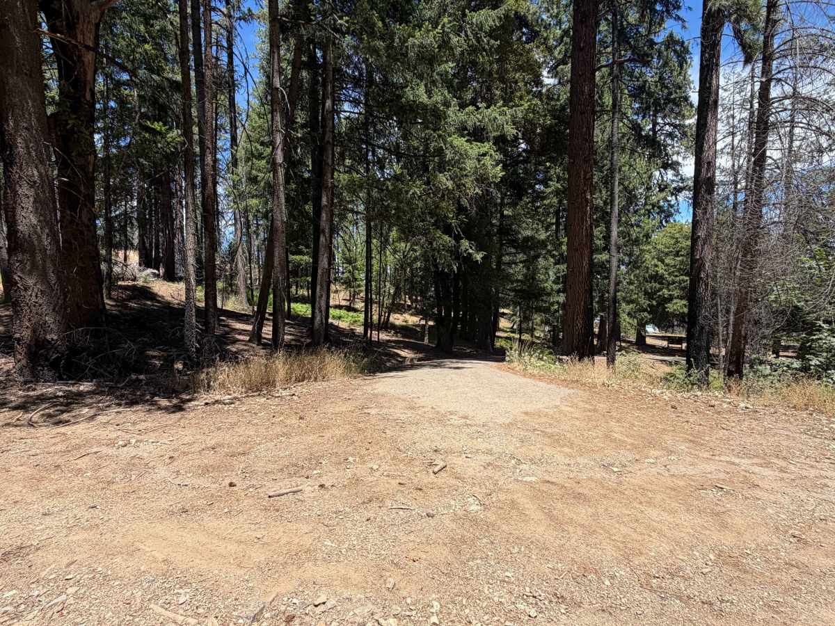
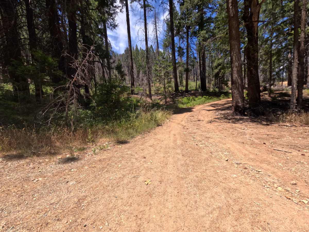
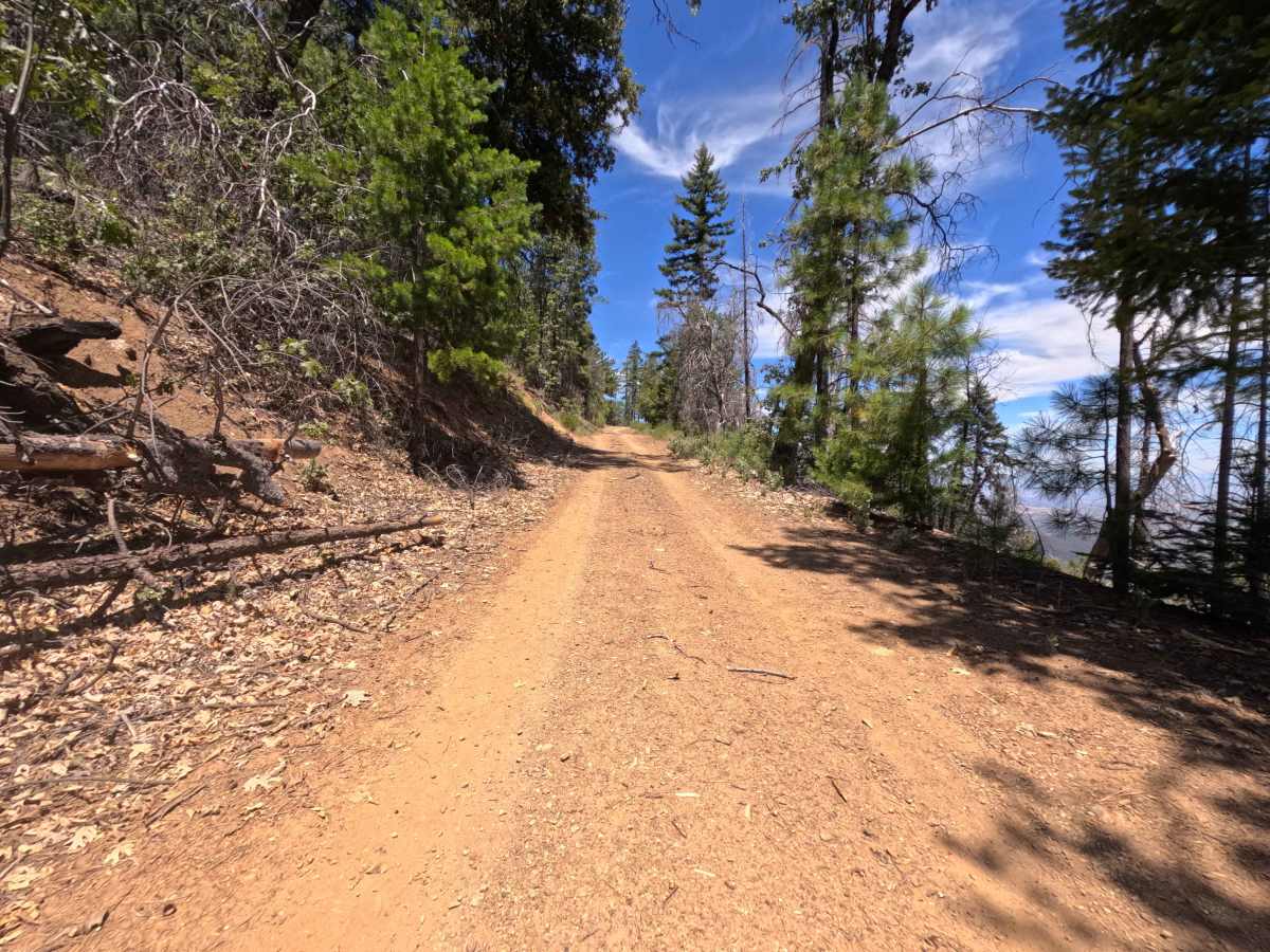
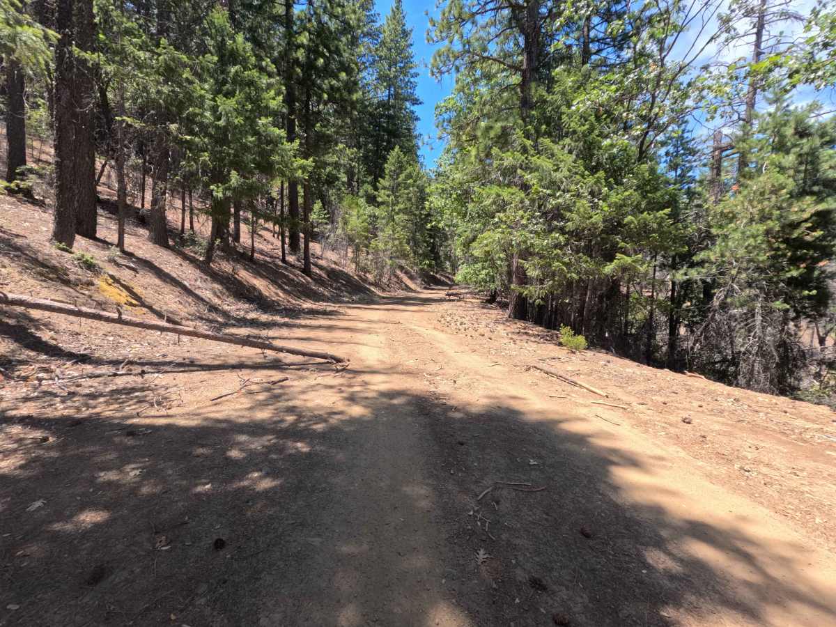
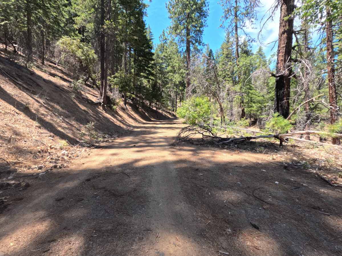
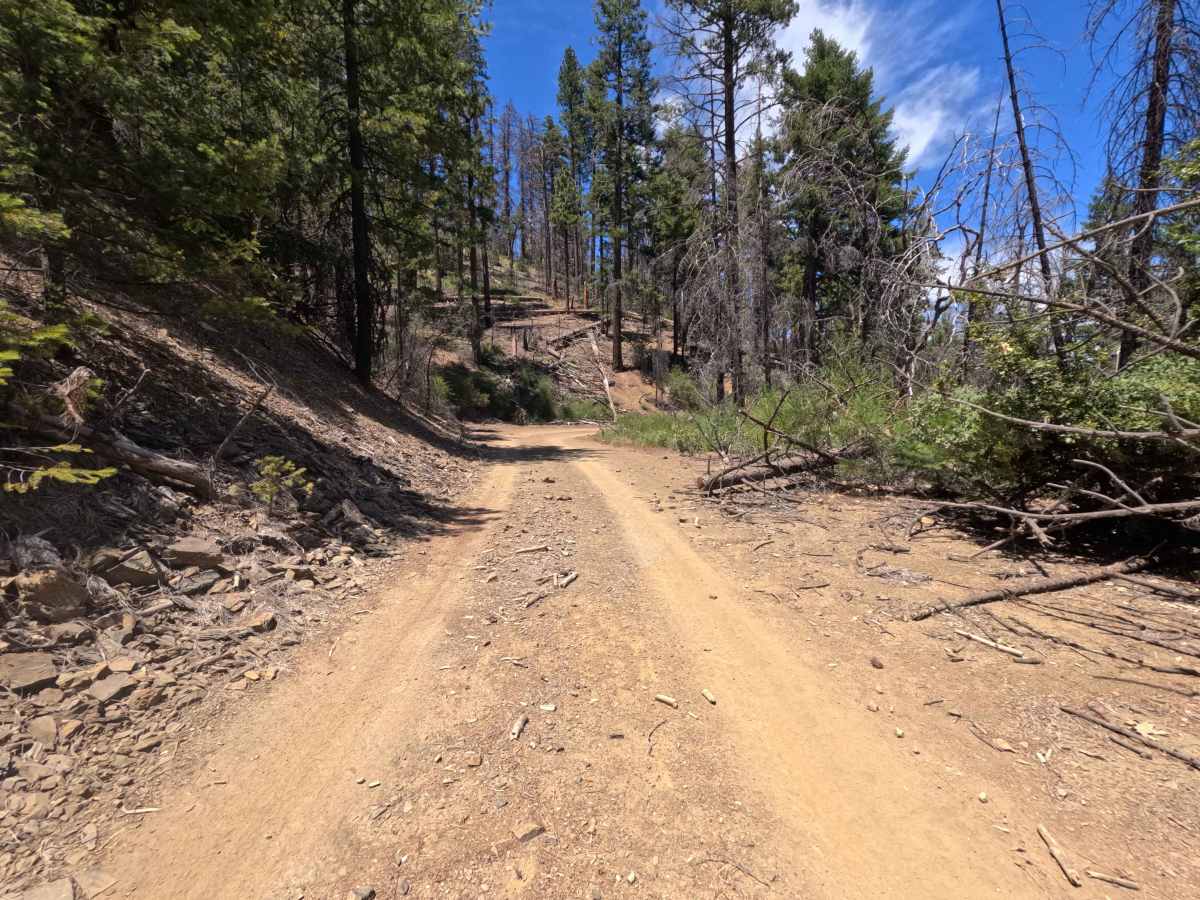
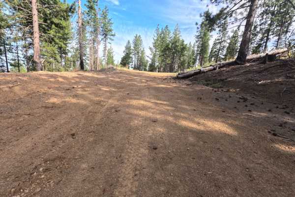
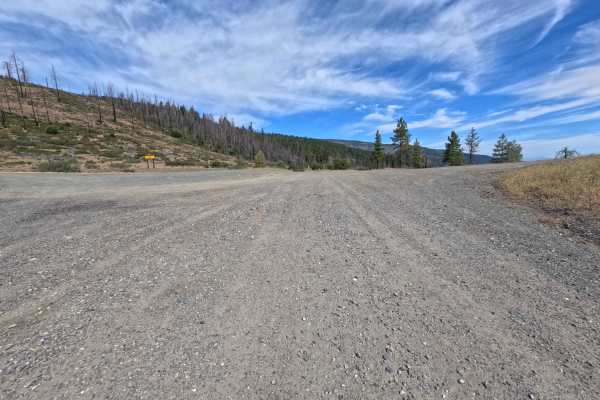
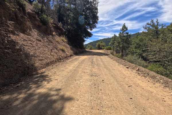
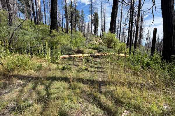
Set within a partially burnt coniferous forest with emerging shrub understory in the Mendocino National Forest, Whitlock (FS 24N19) offers a rustic mountain slope climb. Accessed directly near Whitlock Campground, this dirt spur branches upward into quieter backcountry terrain. Outdoor enthusiasts primarily explore this route to locate secluded primitive camping spots beyond the established campground or to take in elevated forest views along the ridge. The path consists of a single-lane dirt track featuring slight surface rutting, earning a Grade 2 difficulty rating. Departing the main campground area, the trail ascends gently through mixed pine timber and standing snags. Early on, the track remains relatively smooth with light dirt rutting. Around 2.0 miles, two small fallen trees lie across the track but are easily driven over. Past 2.5 miles, the corridor narrows as thick brush encroaches along steep side-hill drop-offs. Near 3.1 miles, a large fallen log completely spans the road, bringing the drive to an abrupt halt and requiring a careful turnaround.
Difficulty
Earning a Grade 2 difficulty rating, this single-track dirt route presents mild rutting, narrow brush squeezes, and minor log obstacles. Around 2.0 miles in, two small trees lie across the road, requiring slow, steady momentum to roll over safely. Beyond 2.5 miles, encroaching foliage restricts width along steep cliffside drop-offs, demanding careful wheel placement to maintain traction. The route terminates at 3.1 miles due to a large fallen log blocking the entire roadway, where drivers must execute a careful multi-point turnaround to exit.

 Offroad