Trail Overview
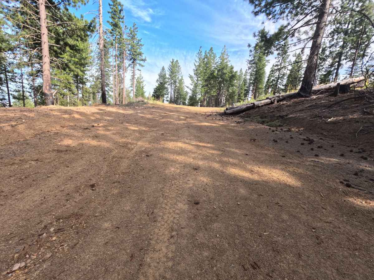
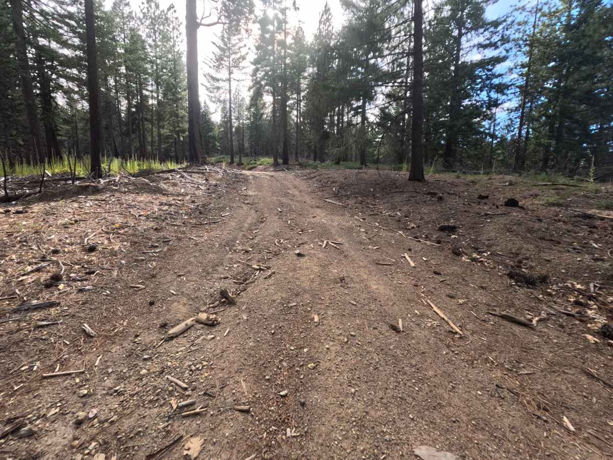
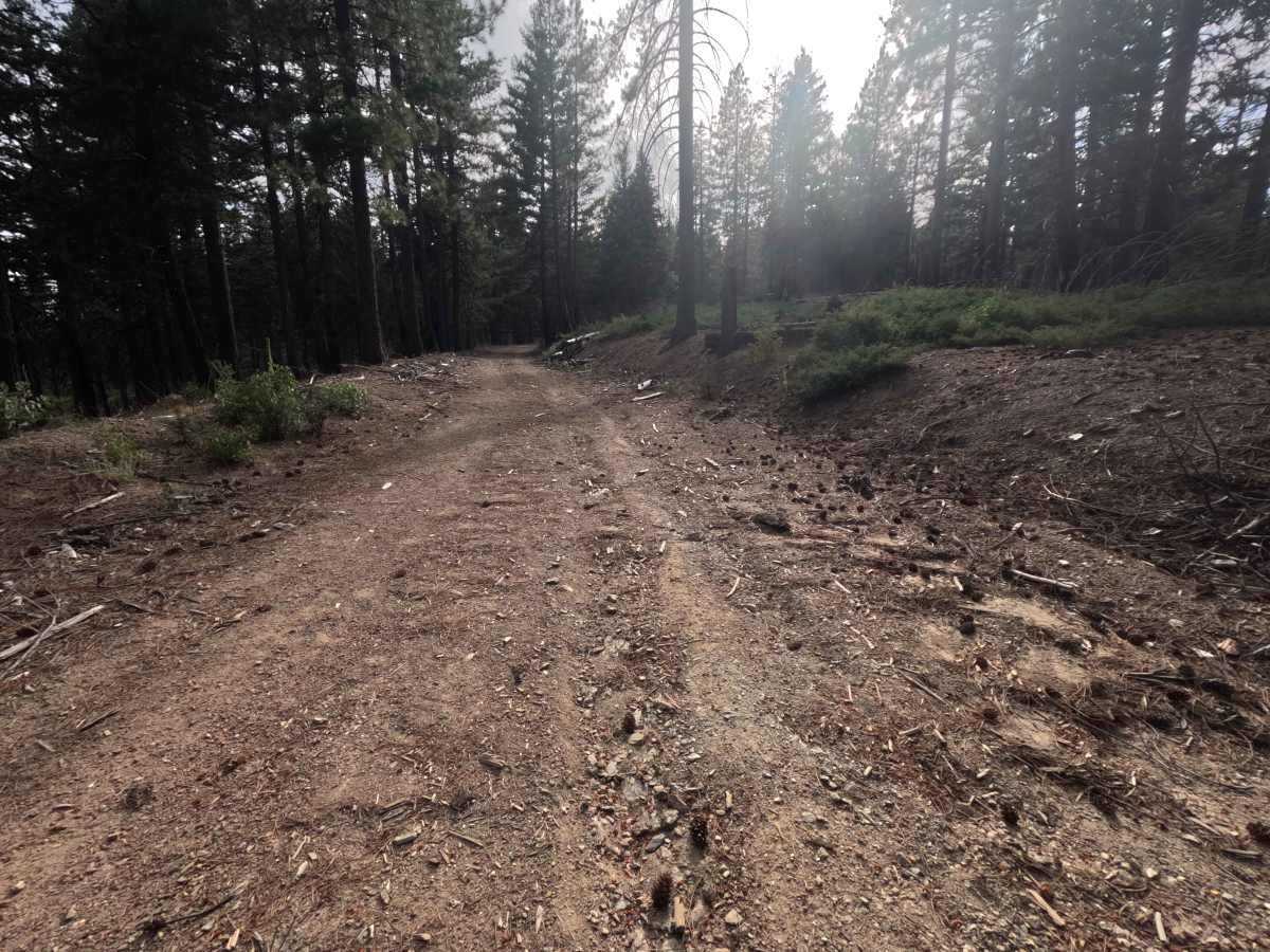
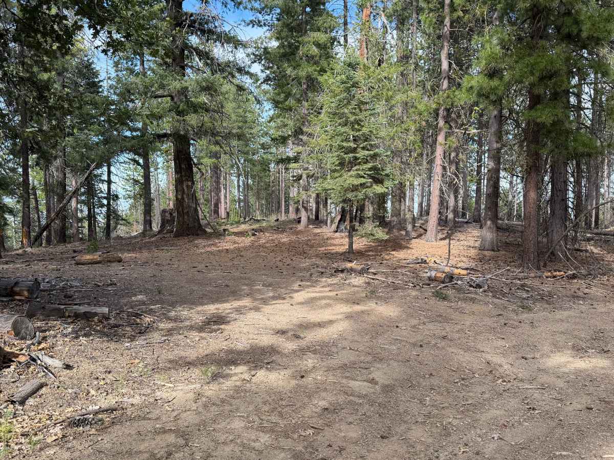
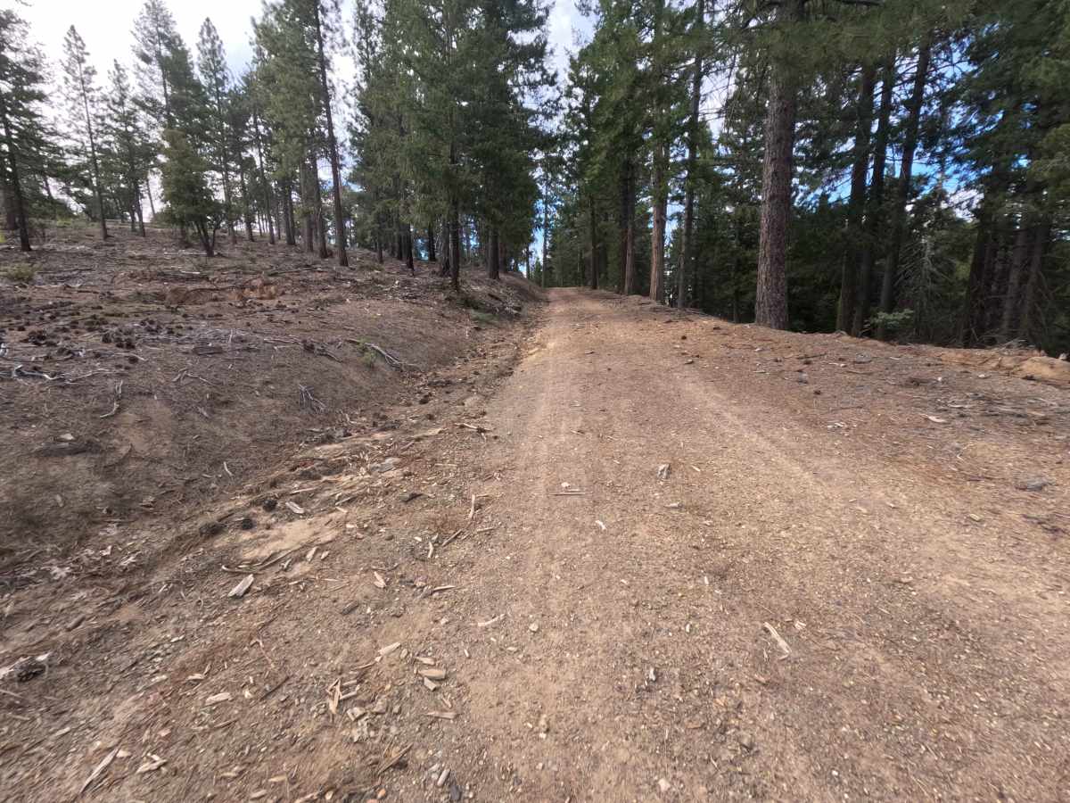
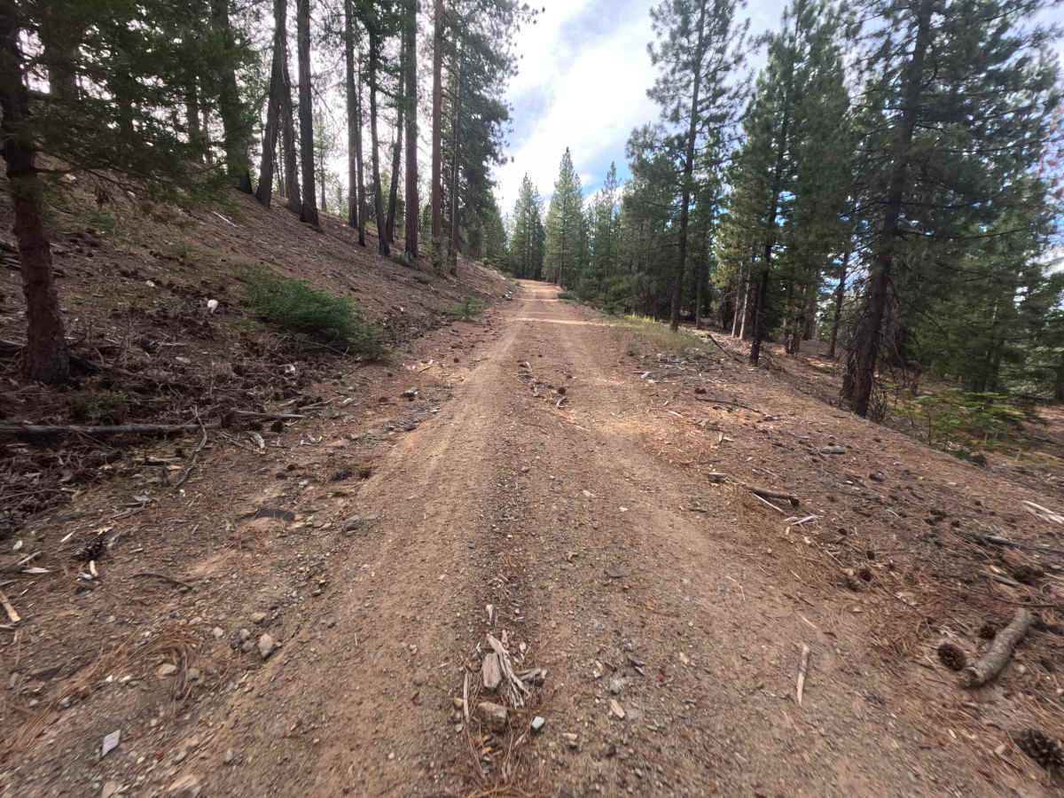
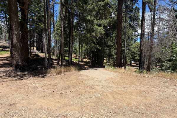
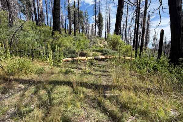
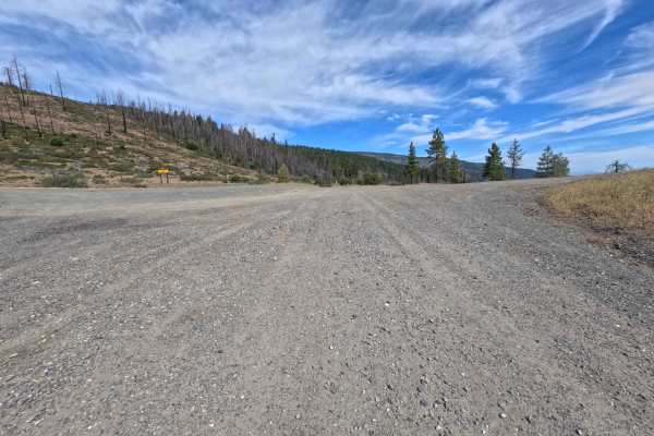
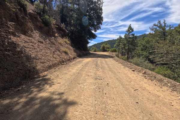
Set within an open, high-country pine forest with scattered snags and brush understory in the Mendocino National Forest, Ball Rock Ridge (FS 24N41) climbs gracefully toward Tatham Ridge. Accessed from a prominent three-way forest intersection, this double-wide route serves as a scenic connection between mountain ridges. Outdoor enthusiasts frequently utilize this trail to reach quiet dispersed camping clearings, access backcountry hiking opportunities, or navigate toward regional high points. The route consists of a double-width dirt and gravel track peppered with pine needles and shallow drainage ruts, earning a Grade 2 difficulty rating. Departing the lower three-way junction, the track climbs steadily, passing inviting pullout campsites at 0.3 miles and 0.8 miles. Shallow erosion channels appear along turns, but the broad roadway provides plenty of space to steer around them safely. The road ends at 1.7 miles at a T-intersection with Russell Road (24N110).
Difficulty
Earning a Grade 2 difficulty rating, this double-wide mountain road presents a firm dirt and gravel surface with pine needle cover and minor erosion ruts. The terrain remains non-technical throughout, requiring only steady throttle control on uphill bends. Drivers can easily traverse the shallow washout channels by scanning ahead and steering to the cleanest side of the track to keep tires on unbroken ground. High ground clearance and specialized four-wheel-drive systems are not required during dry summer or fall conditions.