Trail Overview
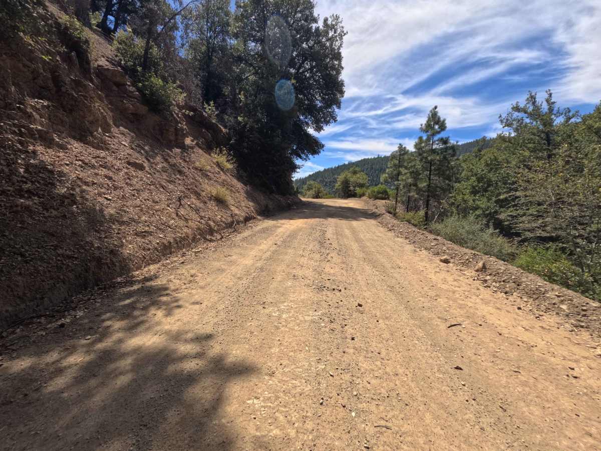
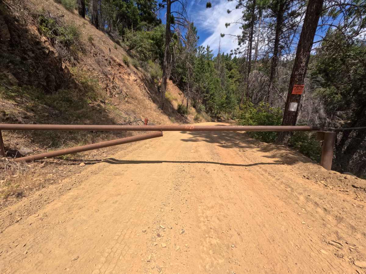
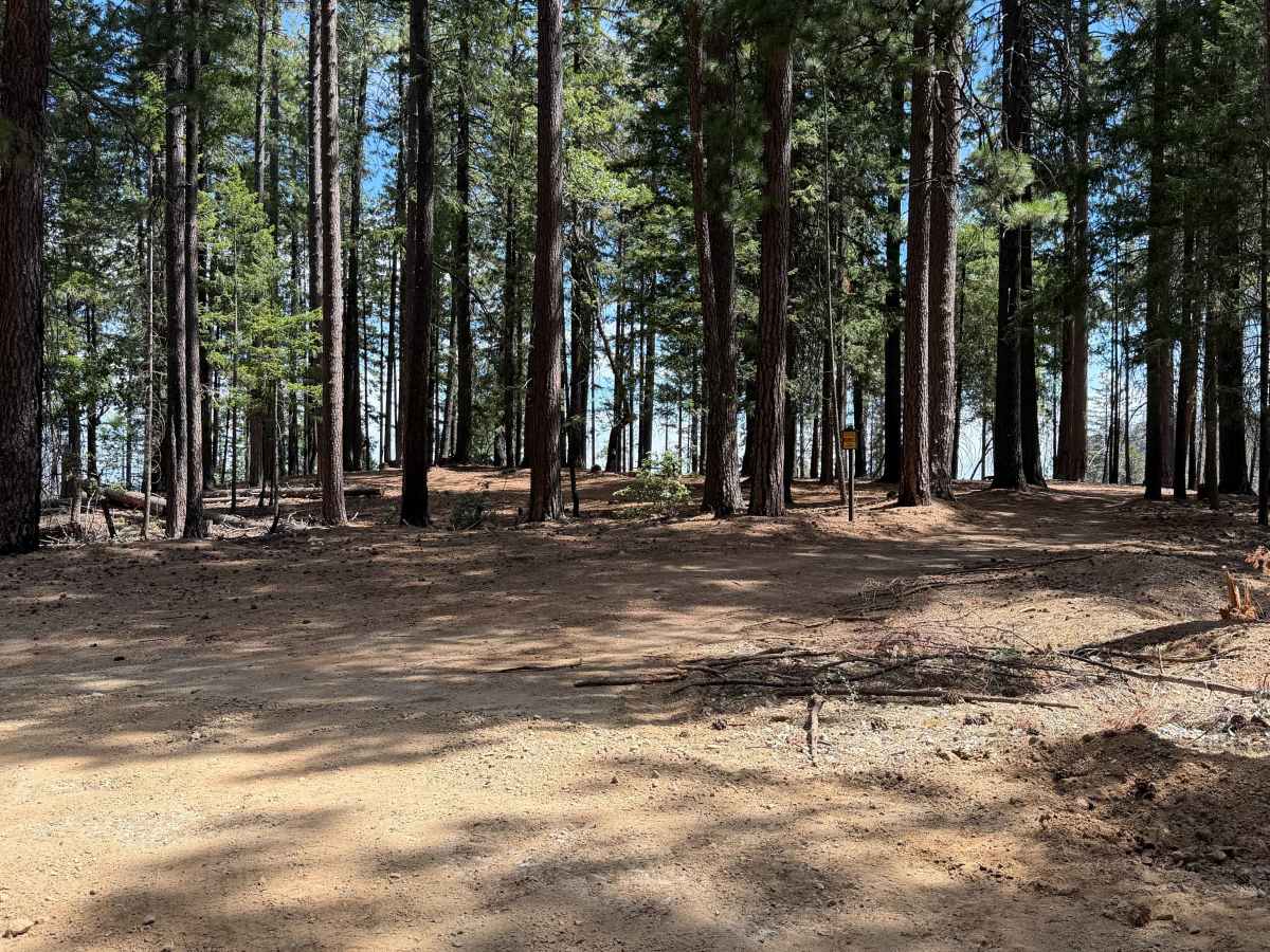
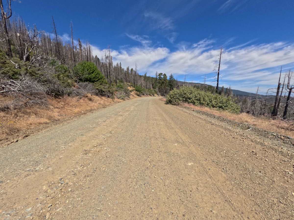
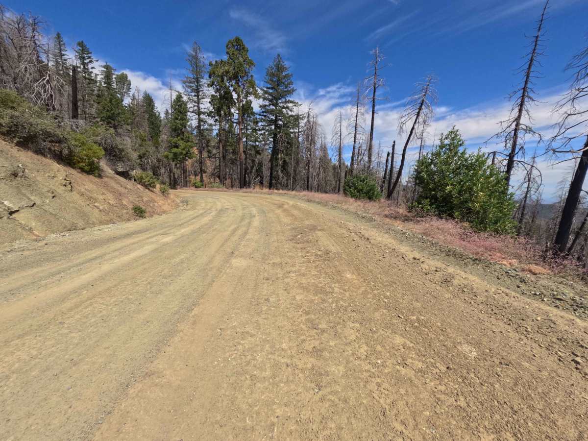
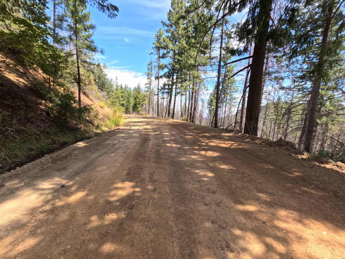
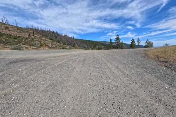
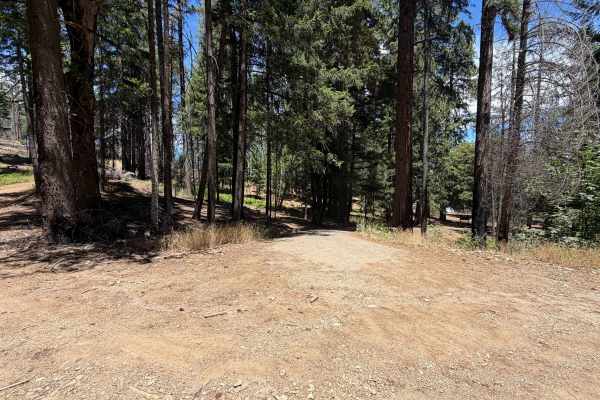
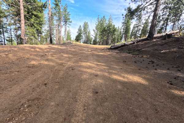
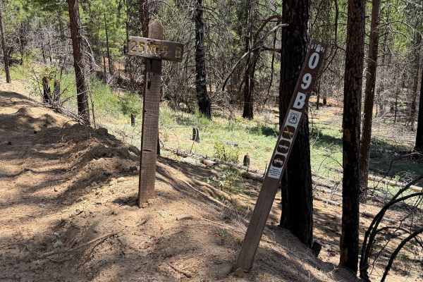
Winding through a mix of towering pine timber, oak groves, and actively managed forestlands within the Mendocino National Forest, Elder Creek (FS 25N09) offers a tranquil and broad mountain drive. Accessed directly off Paskenta-Eel River Road (Hwy M2) at the prominent four-way junction, this gently descending route is popular with outdoor enthusiasts seeking accessible backcountry campsites, scenic valley overlooks, and peaceful woodland picnics. The driving surface consists of a wide, double-lane graded gravel road that smoothly transitions into well-traveled dirt, earning a mild Grade 1 difficulty rating. Around 0.4 miles in, visitors encounter an expansive designated campfire site complete with picnic tables and stone fire rings, requiring a valid campfire permit for use. Additional roadside camping turnouts appear at 0.5, 1.2, and 2.2 miles, while a fresh mountain stream flows under the road near the 1.0-mile mark. The roadway narrows slightly after 3.8 miles but maintains frequent pullouts before terminating at a locked private property gate at 5.1 miles, where visitors must turn around.
Difficulty
Earning a gentle Grade 1 difficulty rating, this well-graded gravel and dirt route presents an exceptionally smooth, predictable driving surface free of technical obstacles. The road remains broad enough for two vehicles to pass comfortably along most of its length, with ample pullouts provided even where the track narrows past 3.8 miles. Elevated ground clearance and specialized traction systems are unnecessary during normal dry conditions, allowing standard stock vehicles to easily navigate the entire 5.1-mile distance down to the private property gate turnaround.

 Offroad