Trail Overview
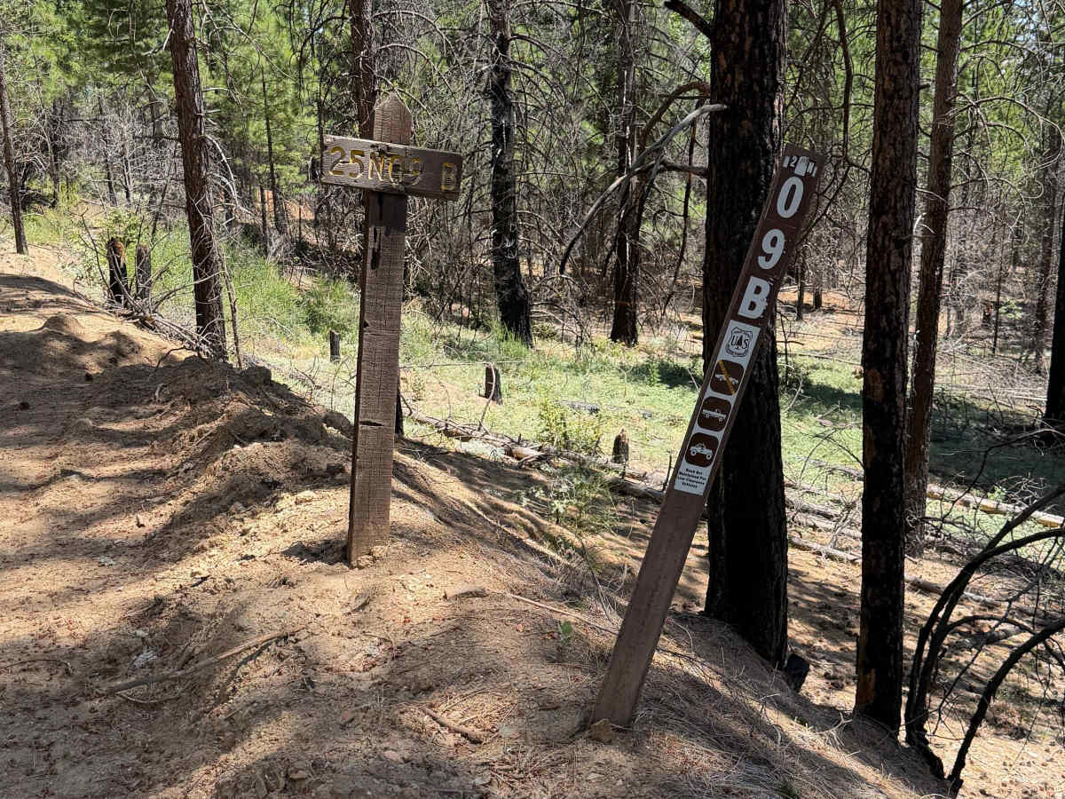
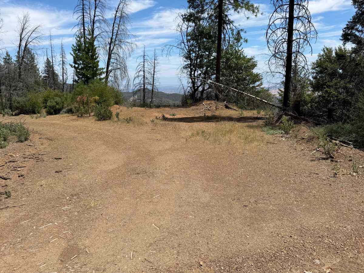
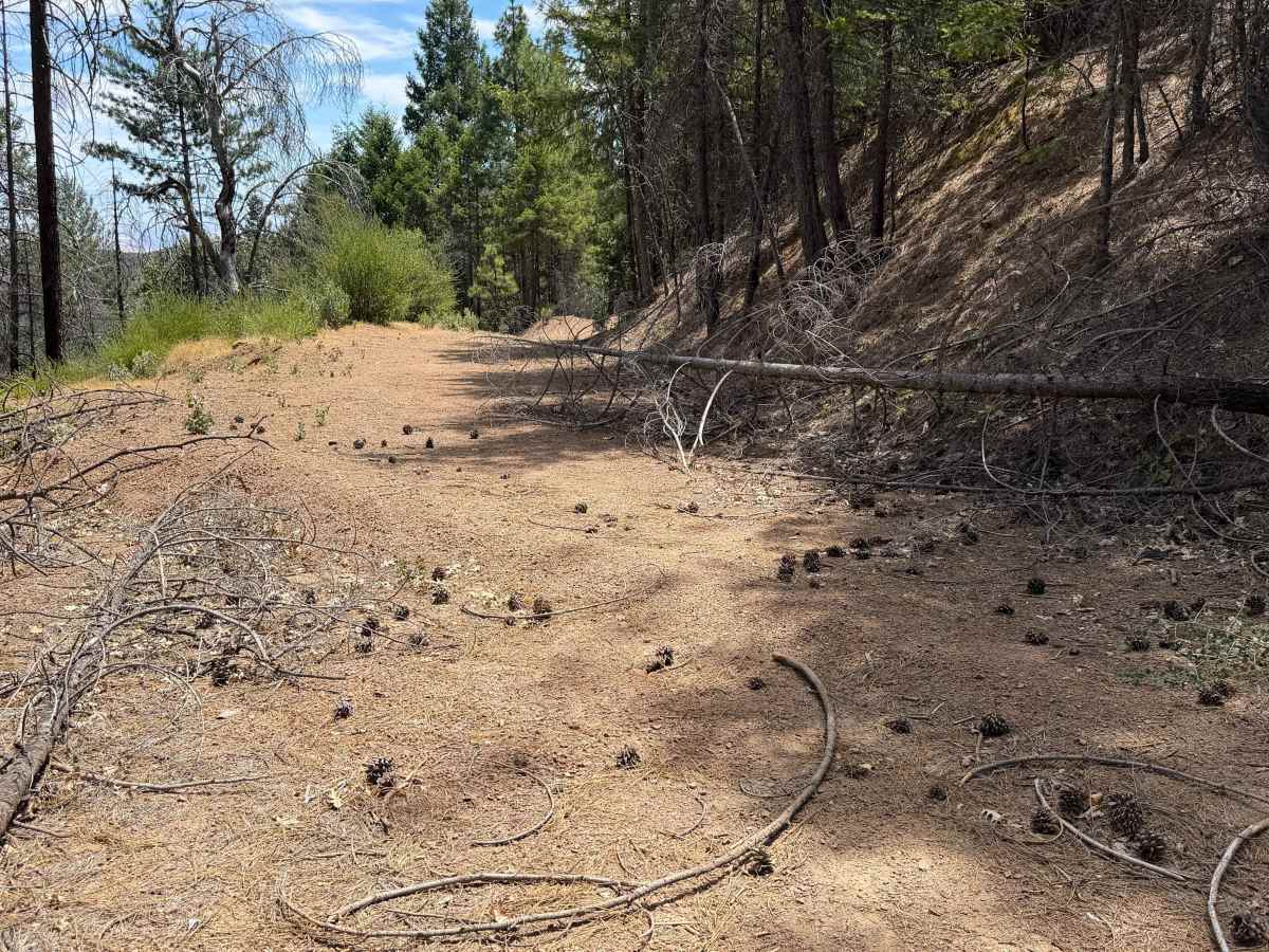
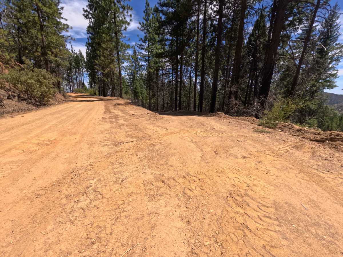
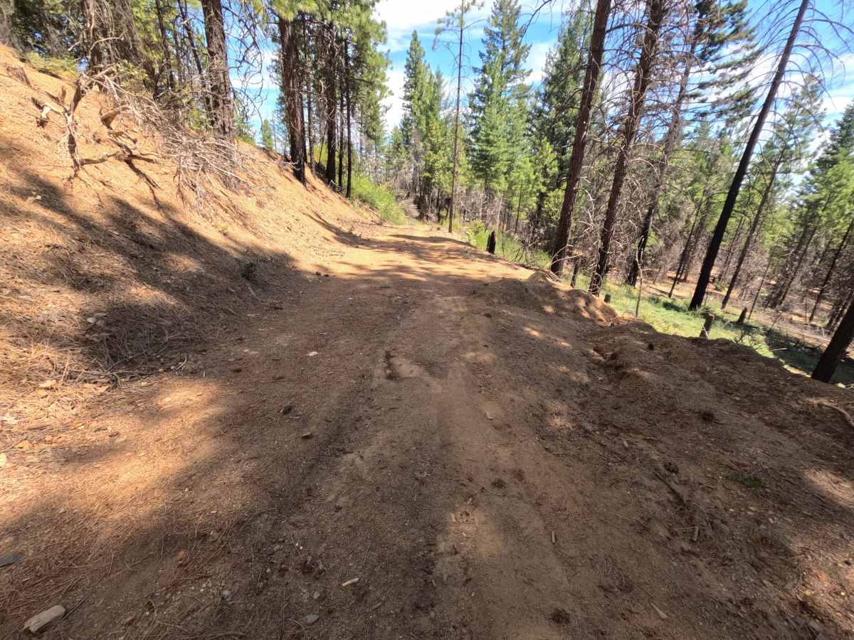
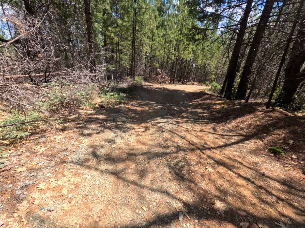
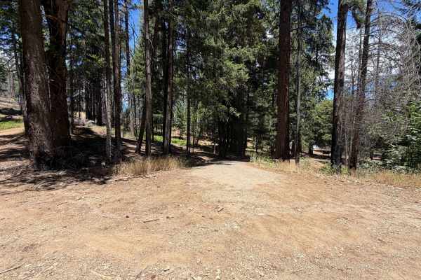
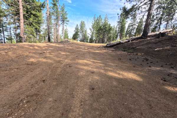
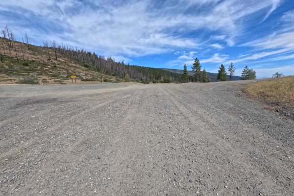
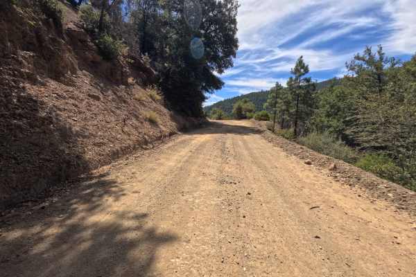
Set within a dry, mixed pine and oak woodland recovering from past fire impacts in the Mendocino National Forest, Section 17 (FS 25N09B) provides a peaceful side excursion. Accessed directly off of Elder Creek Road (FS 25N09) near the Paskenta-Eel River Road corridor, this route stems off to the right past a posted Forest Service route sign. Outdoor enthusiasts primarily travel this secluded spur to find quiet, low-traffic primitive campsites and take in sweeping, expansive valley vistas. The route consists of a narrow, single-track dirt spur with pine needle litter and gentle earthen dips, earning a Grade 2 difficulty rating. The track maintains a gradual, easy descent through dappled shade and sparse brush. Around 0.7 miles, a sharp bend opens into a cozy dispersed camping nook, followed by a second, elevated turnout near 1.0 mile that accommodates up to three vehicles while overlooking the valley below. The road concludes abruptly near 1.1 miles, where a fallen tree rests across the path, requiring a safe three-point turnaround.
Difficulty
This single-lane dirt spur features a mild, steady downhill gradient with occasional shallow washout ruts and scattered pine needle debris. Although a forest sign at the entry cautions against low ground clearance, the terrain remains smooth and straightforward during dry seasonal conditions if line choices stay centered over minor ruts. Obstacles are non-technical, requiring only controlled downhill braking and attentiveness around tight bends. The path terminates at an impassable downed tree spanning the right-of-way, where drivers must execute a careful turnaround to return up the spur.

 Offroad