Trail Overview
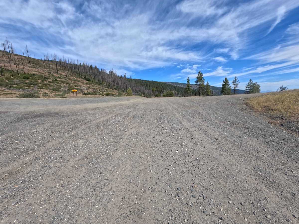
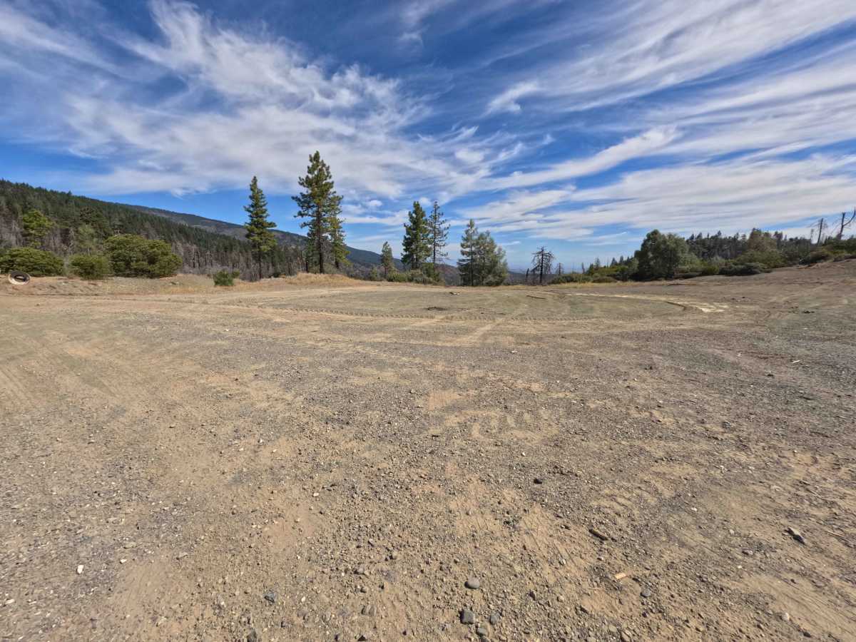
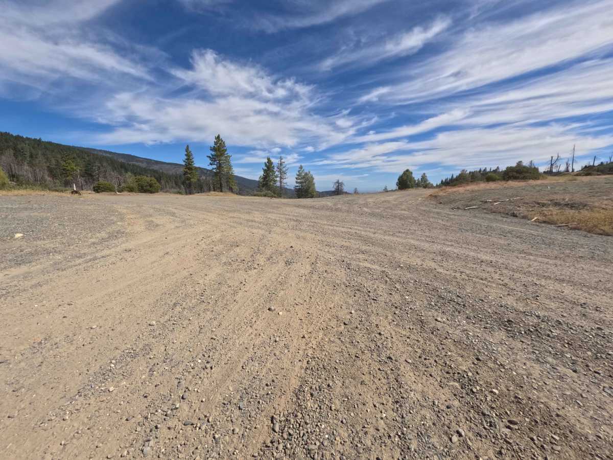
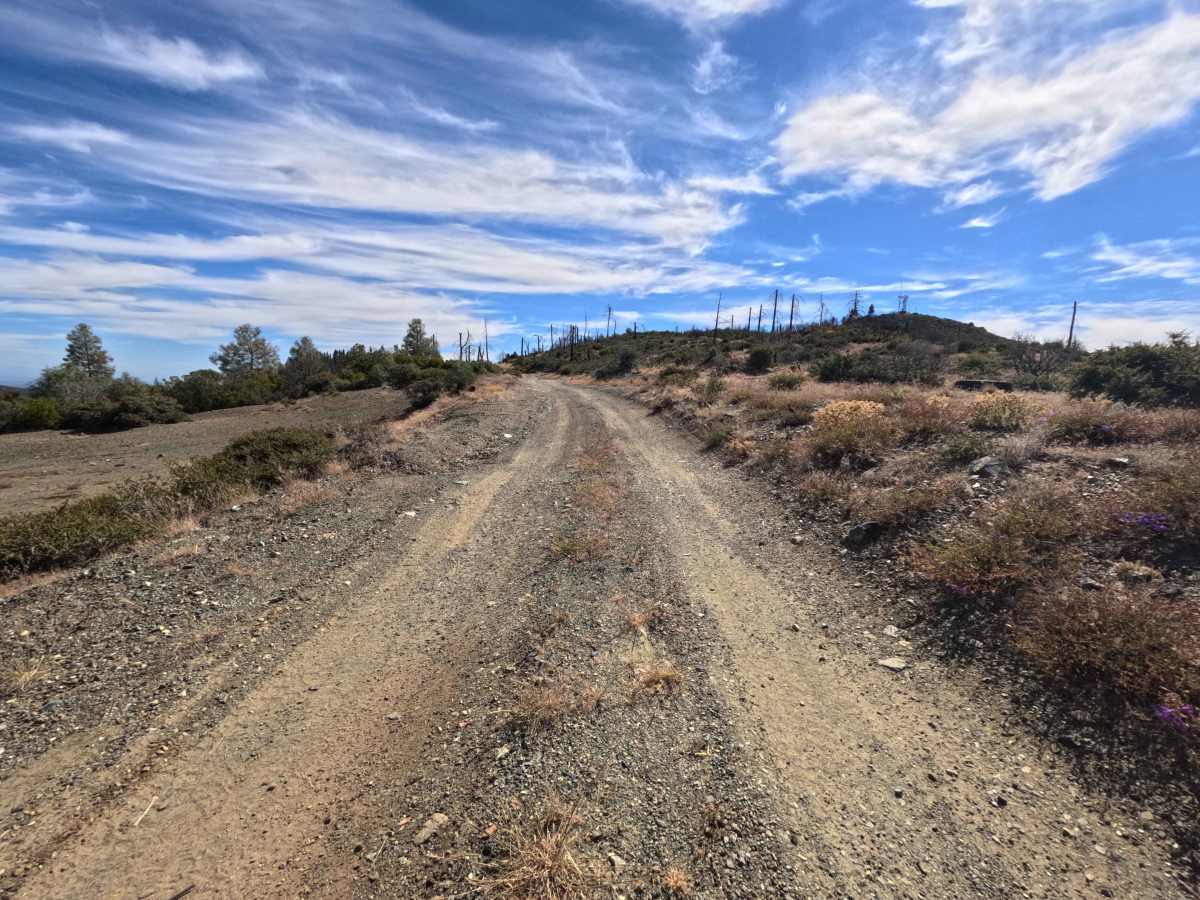
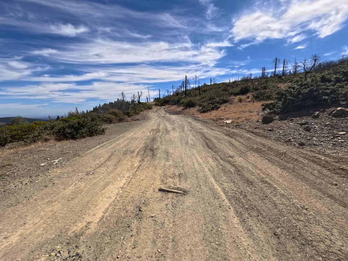
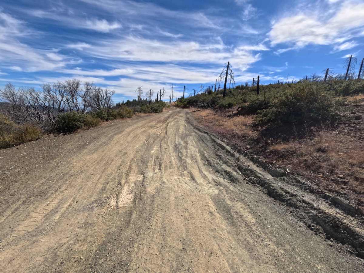
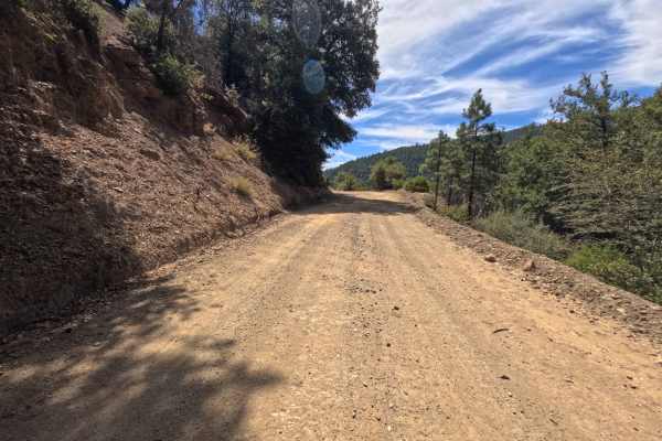
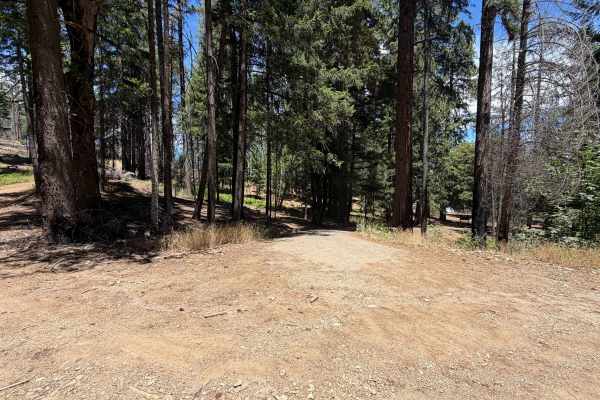
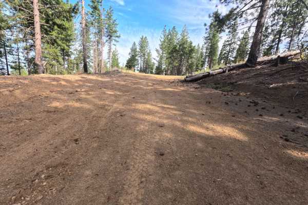
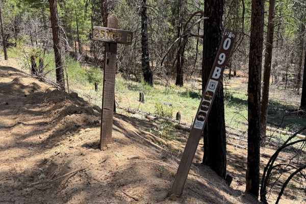
Winding through a starkly beautiful forest recovering from wildfire with dense brush understory and standing burnt snags, Eagle Rock (FS 24N36) offers a scenic backcountry ridge spur within the Mendocino National Forest. Accessed directly off of the Paskenta-Eel River Road (Hwy M2) at a broad, open four-way intersection featuring popular primitive dispersed camping spots, this track is primarily used by outdoor enthusiasts seeking remote high-country mountain views and peaceful ridge exploration near Eagle Rock. The route consists of a narrow single-track dirt road peppered with small dips and embedded gravel, earning an accessible Grade 2 difficulty rating. Departing the main staging junction, the trail stays left at the 0.3-mile fork and bears right at 0.4 miles as the corridor steadily narrows between encroaching vegetation. Brush along the center line grows progressively taller near the upper end, where a low-hanging charred tree trunk stretches directly across the trail, requiring taller vehicles to proceed with extra care before reaching the terminus.
Difficulty
Earning a Grade 2 difficulty rating, this narrow single-track dirt spur presents minor surface dips, light bumps, and noticeable vegetation encroachment. While high ground clearance and specialized four-wheel drive are not necessary under dry seasonal conditions, drivers must contend with brush growing 4 to 5 feet high along the center midline and a low-hanging burned tree limb extending over the roadway near the end. Drivers should travel at a slow, controlled pace, pick clean lines through early dips, and carefully evaluate vehicle roof clearance when approaching overhanging branches.

 Offroad