Trail Overview
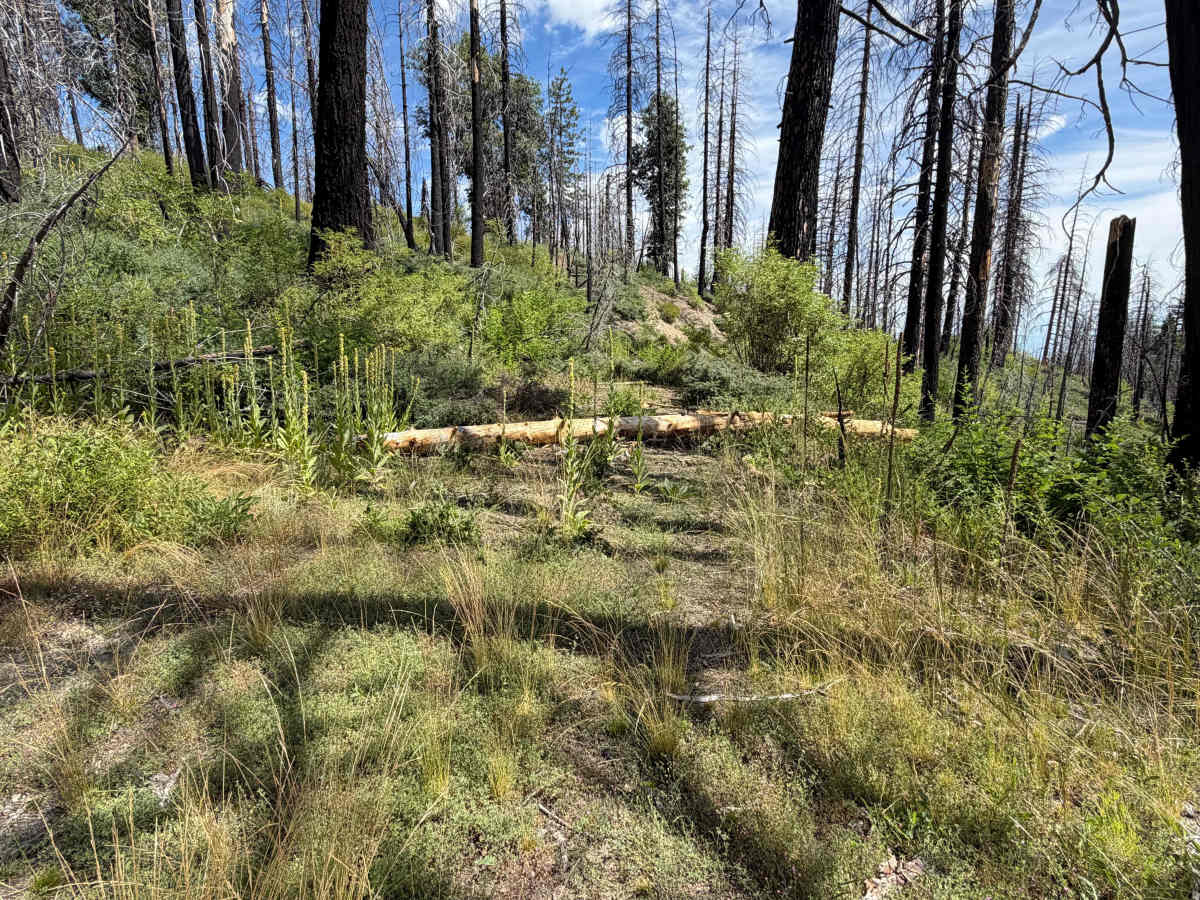
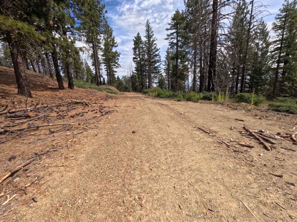
Branching off a busy multi-road junction, Bigelow - FS 24N41D is a scenic out-and-back mountain spur traversing the eastern slopes of the Mendocino National Forest. Navigating an ecosystem rebounding from the 2020 August Complex Wildfire, the route winds through a mixture of standing burned trees, dense green underbrush, wild raspberry patches, and vibrant wildflower displays. The trip starts as a broad, smooth dirt single-track leading to a grand vista at mile 0.9 that offers breathtaking views across the valley floor. Past this viewpoint, routine maintenance stops and the track becomes narrow, rough, and encroached by brush, featuring scattered timber debris and water-filled mud ruts near mile 1.7. The road terminates abruptly at mile 1.8 where a heavy log lies fully across the path, providing an open clearing to execute a three-point turn.
Difficulty
Earning a Class 2 difficulty rating, this trail starts out smooth and easy before becoming significantly more rugged and overgrown. The initial 0.9 miles present smooth, well-graded dirt, but the remaining stretch introduces uneven ground, minor erosion ruts at mile 1.5, and a shallow muddy rut around a curve at mile 1.7. Maintaining a slow speed and choosing a clean line through the soft mud ruts will ensure smooth progress until reaching the fallen log barrier at mile 1.8.