Trail Overview
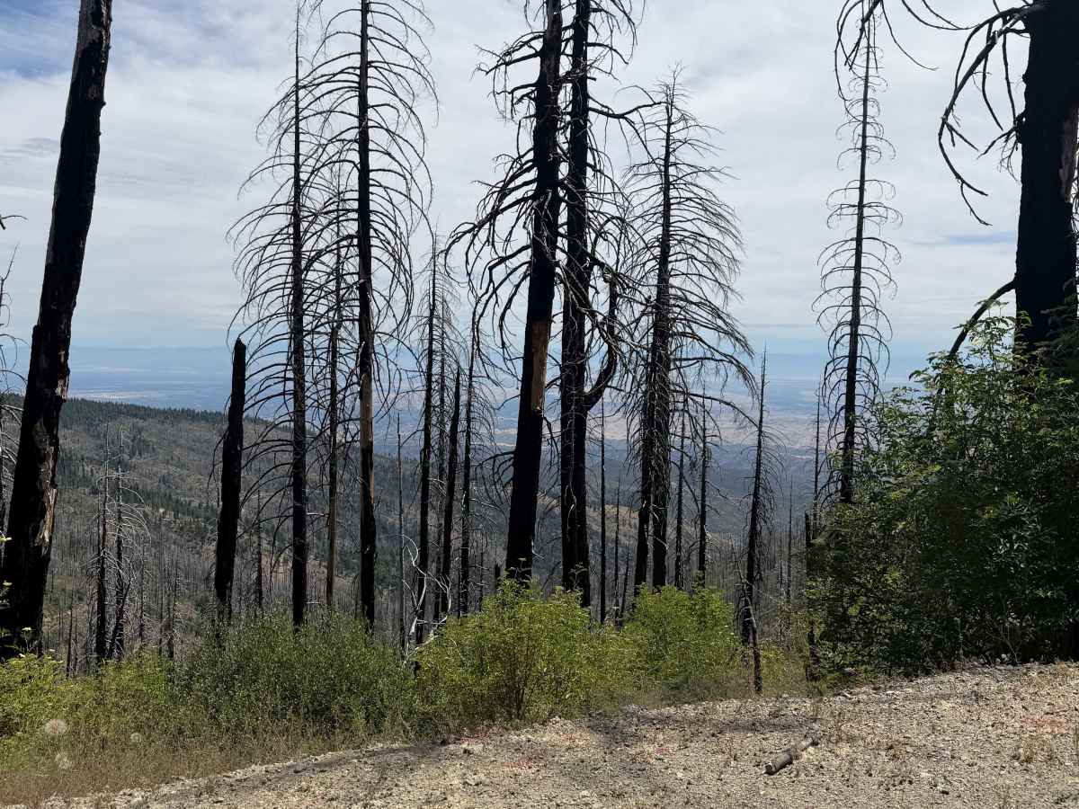
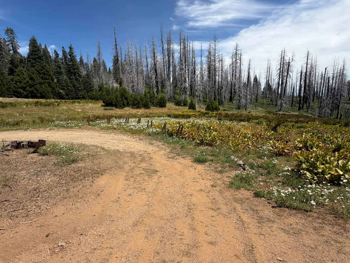
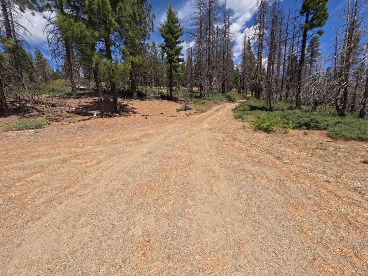
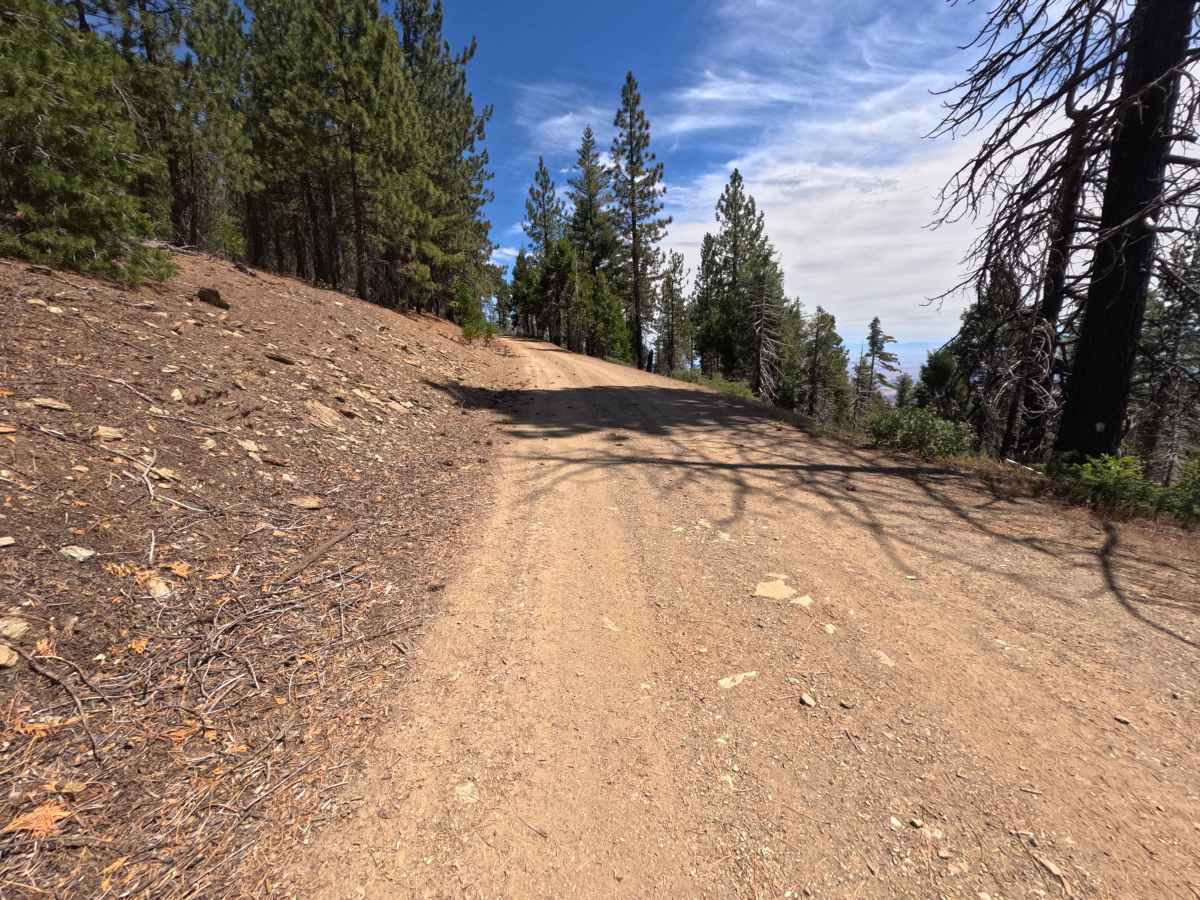
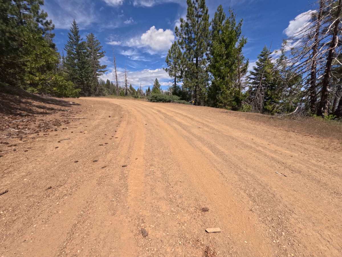
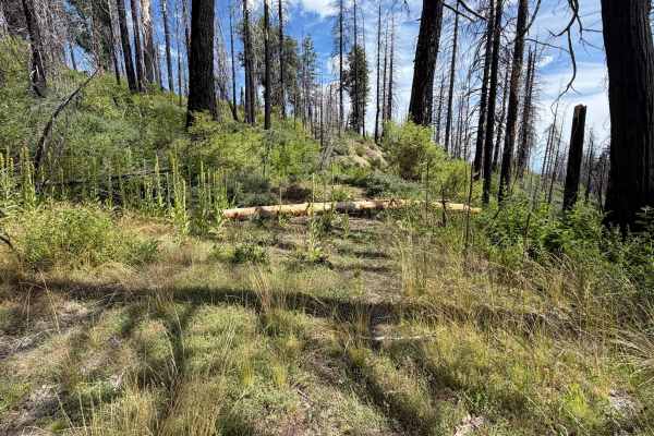
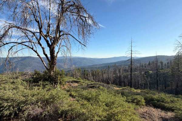
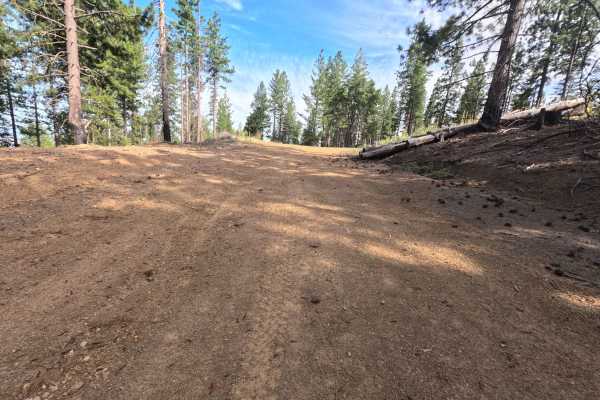
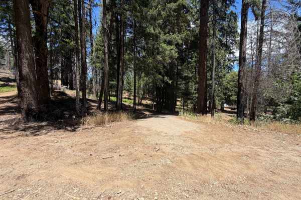
Accessed directly off Tatham Ridge, Postpile - FS 24N38 is an engaging 3.3-mile single-track bypass road traversing the eastern flank of the mountain. Situated within the Mendocino National Forest, the track passes through a localized burn scar from the 2020 August Complex Wildfire before breaking out into brilliant, sunlit openings filled with blooming wildflowers and vigorous forest regeneration. The pathway consists of a smooth dirt tread that stays mostly level along the hillside, kept open by ongoing Forest Service maintenance. Near the end at mile 3.1, travelers will discover a scenic backcountry camping spot complete with a picnic table, fire ring, and a pipe delivering a heavy, continuous flow from a natural ground spring. The trail continues past this spring area for a short distance before connecting back into Tatham Ridge at mile 3.3.
Difficulty
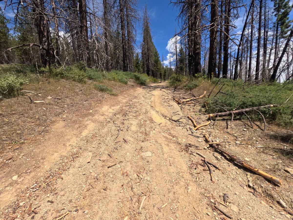
This well-traveled dirt route is predominantly flat, smooth, and easily navigable. Technical obstacles are non-existent for the majority of the drive, though driver attentiveness is required near the 3.3-mile terminus where a few shallow washout ruts cross the road. These mild surface dips can be traversed smoothly by picking a clean line, making the entire trail accessible without requiring heavy off-road modifications.

 Offroad