Trail Overview
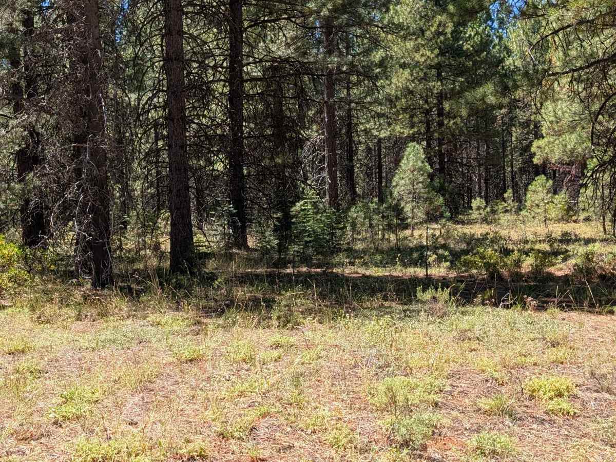
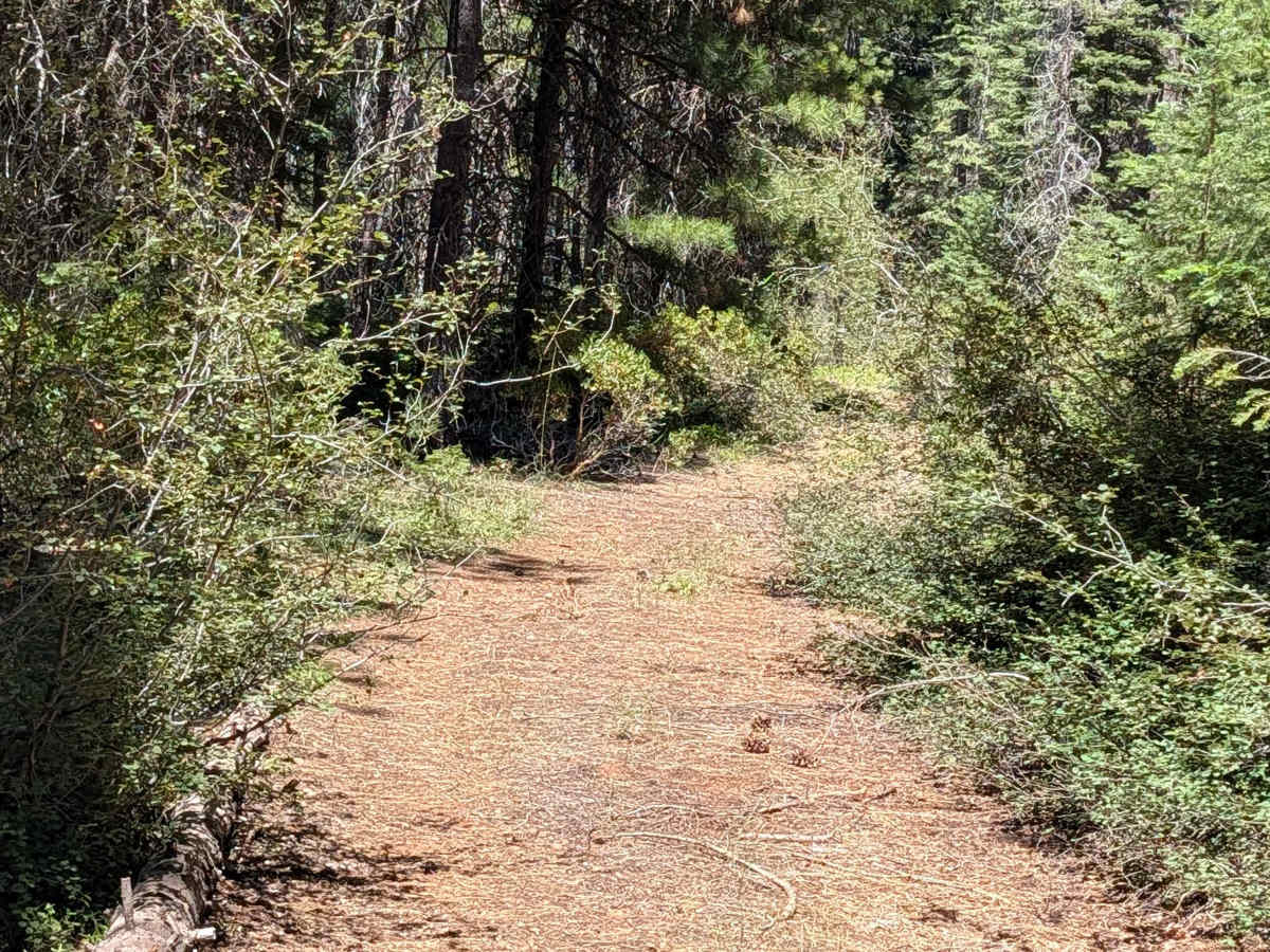
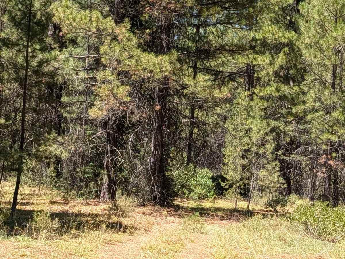
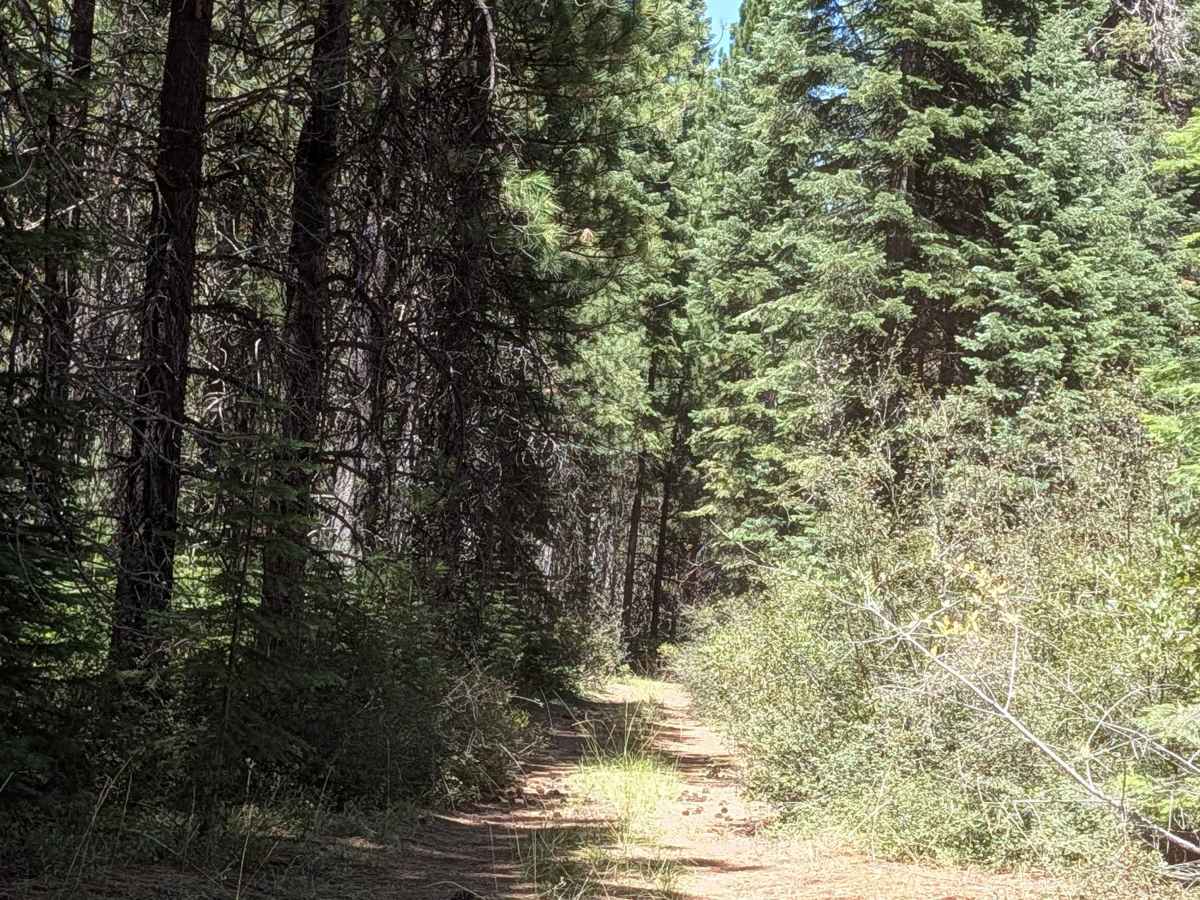
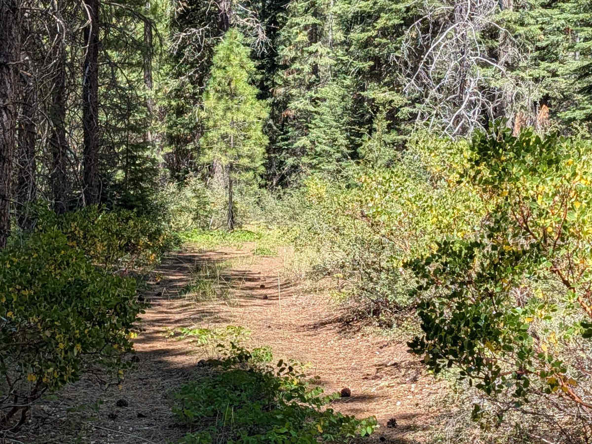
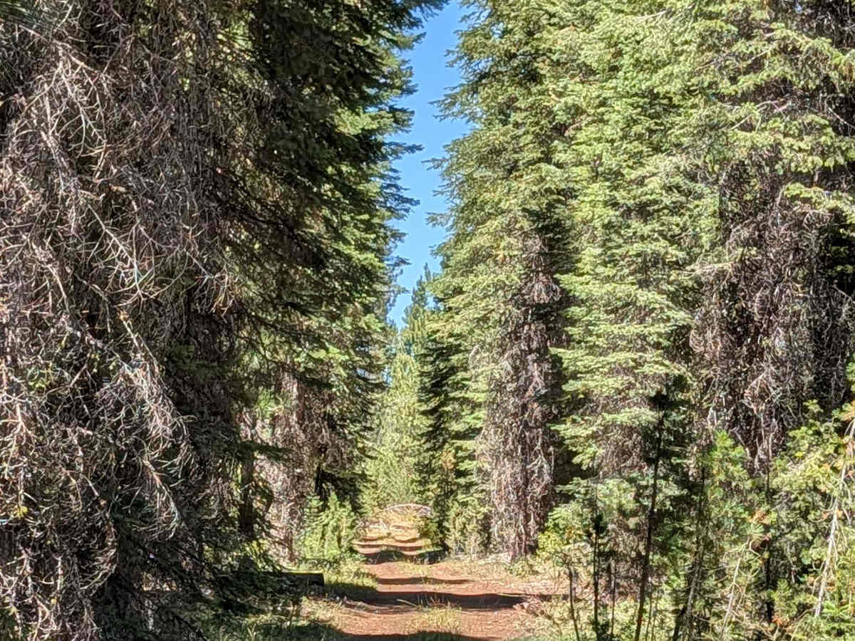
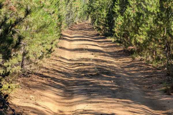
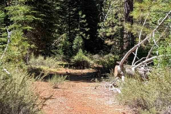
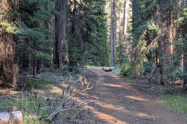
This trail serves as a connector between White Deer Lake - FS 41N40 and Hutalot - FS 41N88, providing access to the east side of the lake. A lot of overgrown vegetation lines the sides and median of the trail, so pinstripes are likely. Low-hanging branches also appear along the way and could catch taller vehicles. A downed tree along the route has a built-in bypass, allowing drivers to continue without stopping to clear it, but this path is more challenging as it is off the main trail. Trailers are highly not recommended given the tight, overgrown conditions.
Difficulty
The main considerations are the overgrown vegetation causing likely pinstripes, low-hanging branches for taller vehicles, and the downed tree bypass along the route. Most of this trail is a 2 rating, but the bypass to go around the downed tree is more challenging, bringing the rating to 3.