Big Sand Flat - FS 40N17

Total Miles1.5
Technical Rating
2Easy
Best TimeFall, Summer, Spring
Trail TypeFull-Width Road
Accessible By
Open Trail Map

Trail Overview

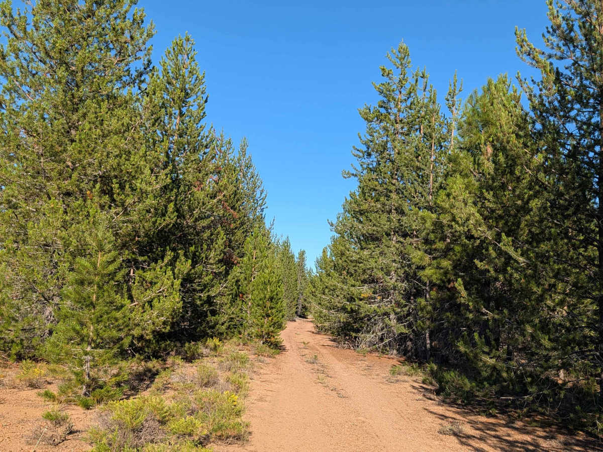
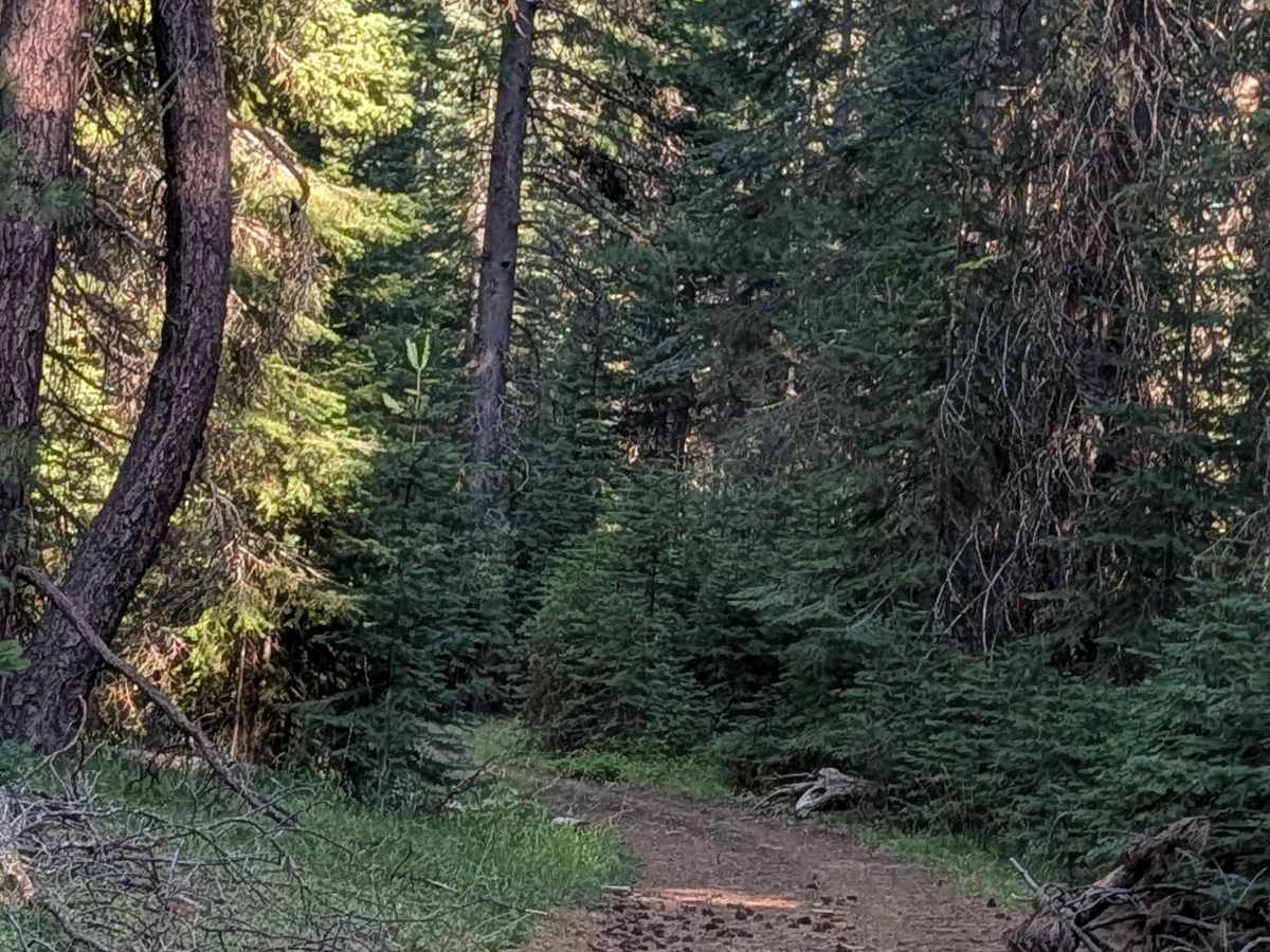
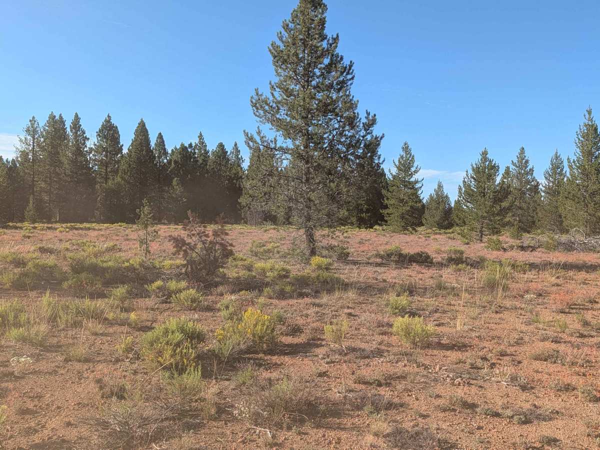
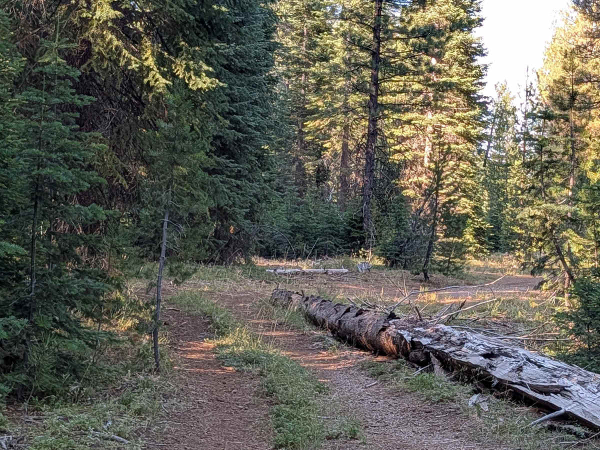
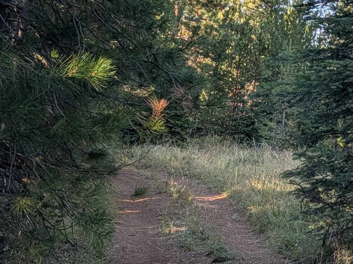
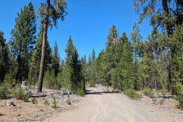
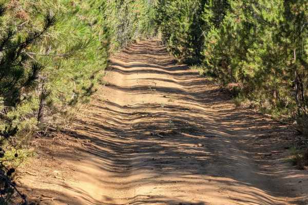
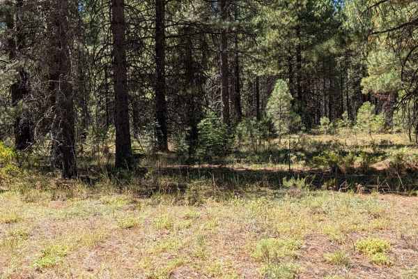
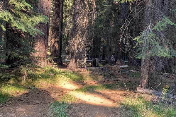
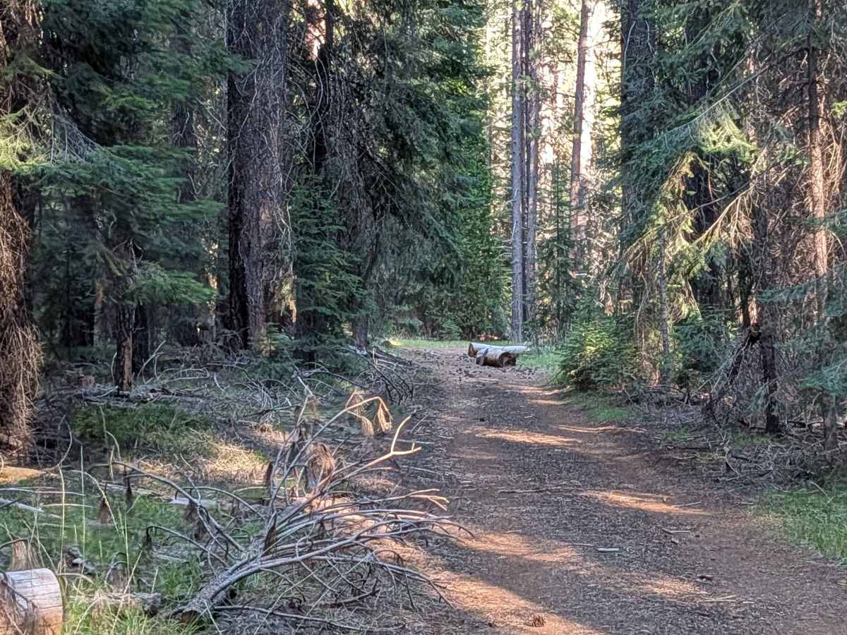
This trail serves as a direct connector between Highway 15 and Davis North - FS 42N04, running through the Shasta National Forest across a mix of young forest and medium-aged forest. The trail surface is made of fine, dusty dirt covered with pine needles and pine cones, and the route maintains a width of 1 to 1.5 vehicles. Many downed trees that have been cut and pushed aside line the route, requiring drivers to maneuver around them throughout the drive. Some very tight sections feature closely spaced trees along with low-hanging branches, adding technical demands in those stretches. On the east side, the trail opens into a very large meadow, providing a scenic contrast to the tighter forested portions.

Photos of Big Sand Flat - FS 40N17

Difficulty

Narrow trail and low-hanging branches are the only obstacles.

Technical Rating

2

Big Sand Flat - FS 40N17 Trail can be accessed by the following ride types:

  • Single Track
  • 50 Inch
  • 60 Inch
  • High Clearance
  • Full Width

Big Sand Flat - FS 40N17 Map

The onX Offroad Difference

onX Offroad combines trail photos, descriptions, difficulty ratings, width restrictions, seasonality, and more in a user-friendly interface. Available on all devices, with offline access and full compatibility with CarPlay and Android Auto. Discover what you're missing today!

Open Trail Map