Davis North - FS 42N04

Total Miles3.2
Technical Rating
2Easy
Best TimeFall, Summer, Spring
Trail TypeFull-Width Road
Accessible By
Open Trail Map

Trail Overview

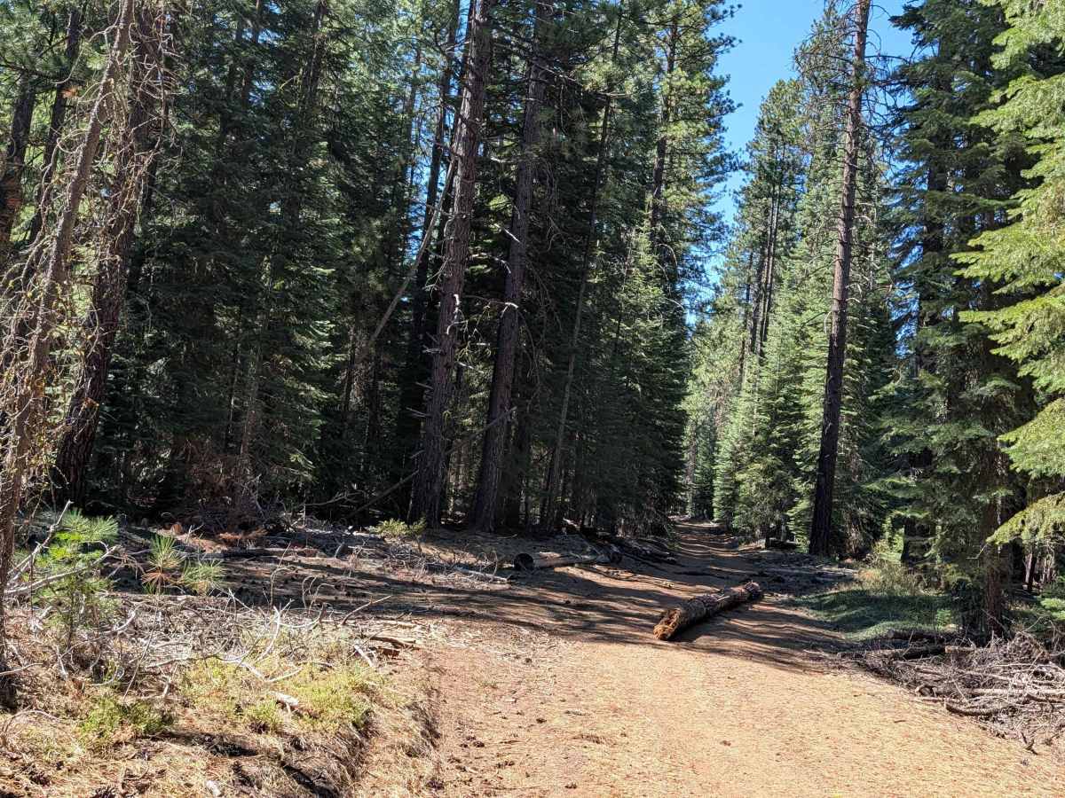
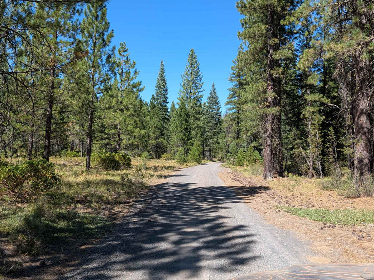
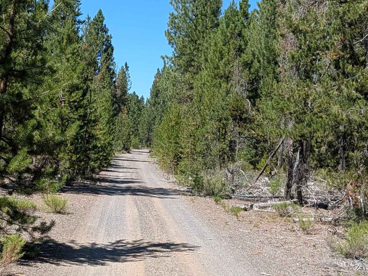
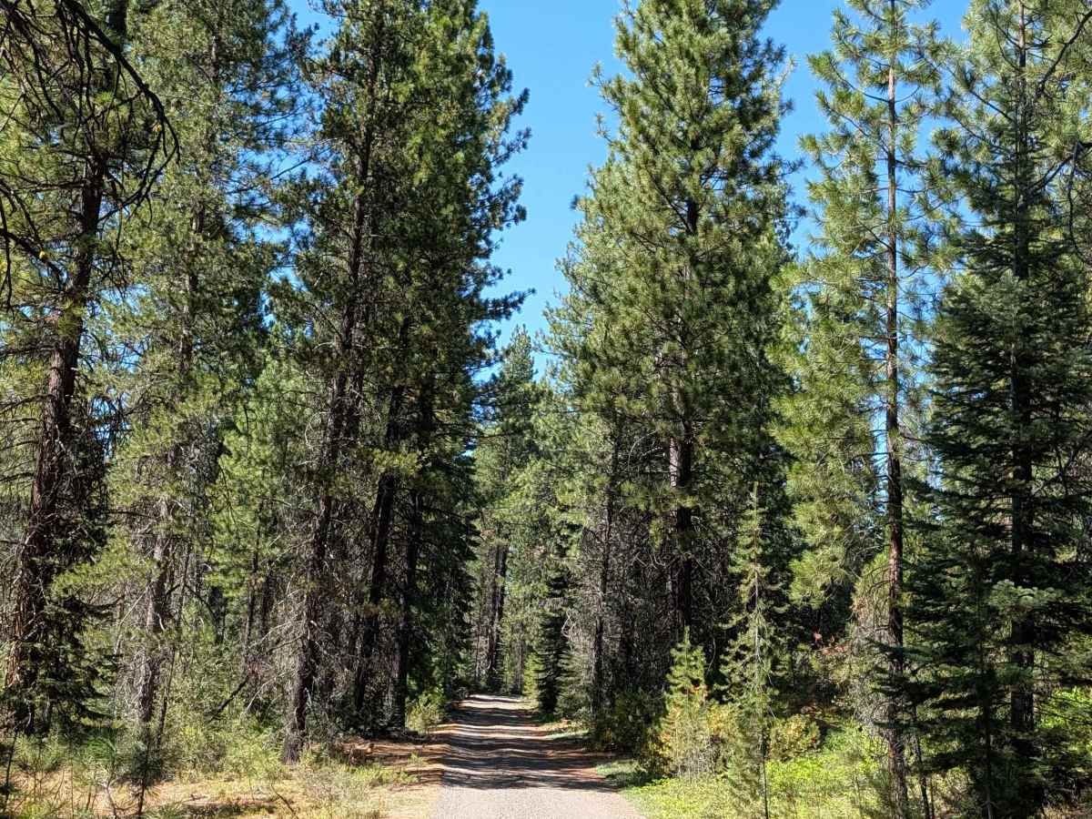
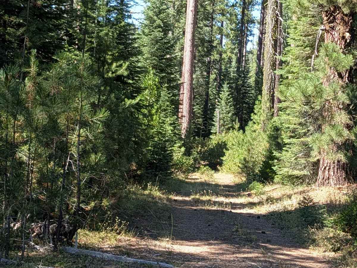
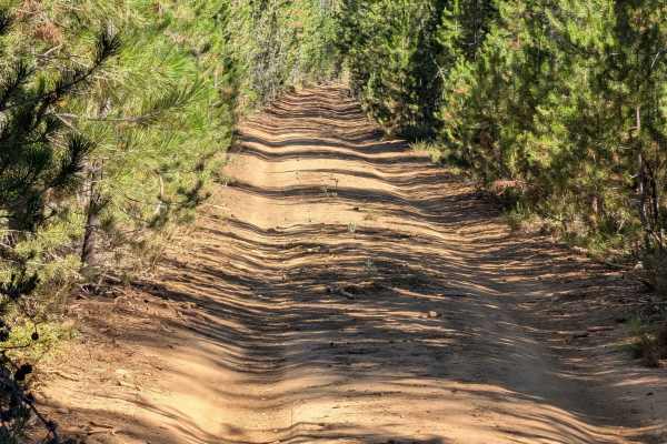
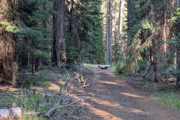
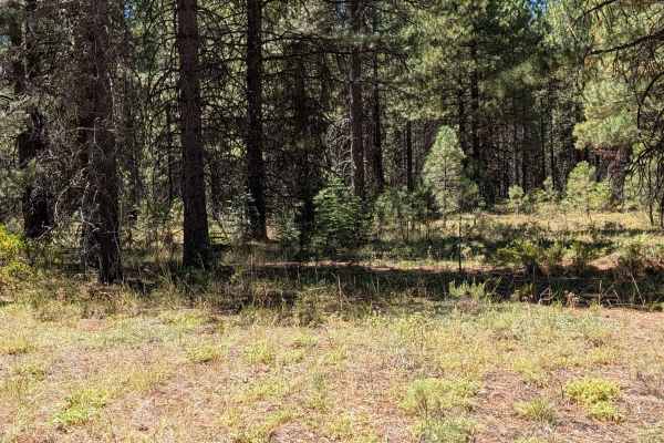
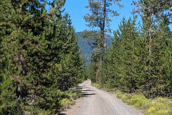
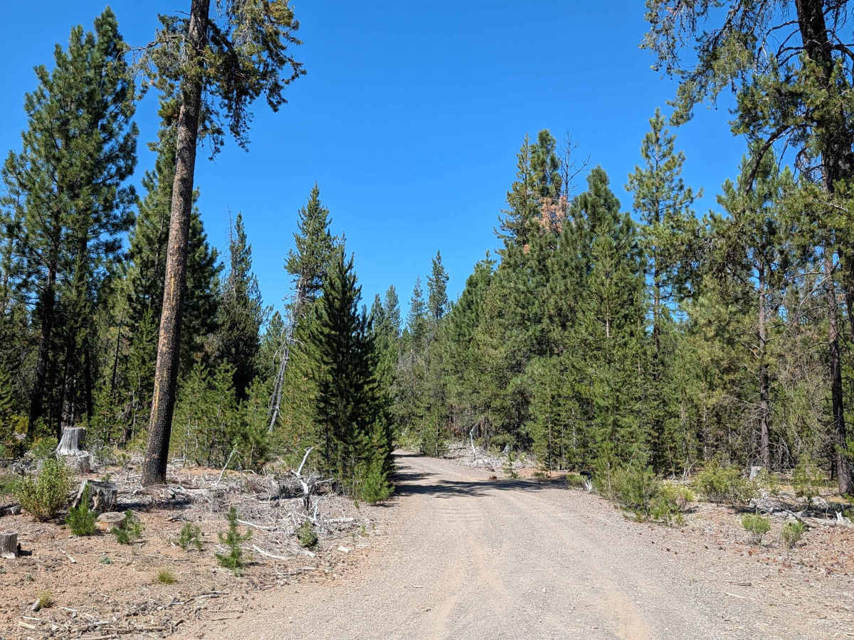
This three mile point to point trail connects Hambone East - FS 41N23 with Toad - FS 42N62 and several other trails in the network. The trail runs 1 to 1.5 vehicles wide, with a surface of dirt covered by gravel. It sits within the Shasta National Forest, surrounded by young and medium-aged pine trees along with varied ground cover. Many downed logs require maneuvering around throughout this section. Heading north, at mile 1.5 the trail turns west and the surface shifts from gravel to dusty dirt. From here, the route winds through the forest, alternating between 1 and 1.5 vehicles wide. Lots of fallen trees appear in this section as well, requiring careful navigation around them.

Photos of Davis North - FS 42N04

Difficulty

This trail carries an easy difficulty rating 2 throughout, driven by the frequent need to maneuver around downed logs and fallen trees in both the eastern and western portions of the route.

Technical Rating

2

Davis North - FS 42N04 Trail can be accessed by the following ride types:

  • Single Track
  • 50 Inch
  • 60 Inch
  • High Clearance
  • Full Width

Davis North - FS 42N04 Map

The onX Offroad Difference

onX Offroad combines trail photos, descriptions, difficulty ratings, width restrictions, seasonality, and more in a user-friendly interface. Available on all devices, with offline access and full compatibility with CarPlay and Android Auto. Discover what you're missing today!

Open Trail Map