Trail Overview
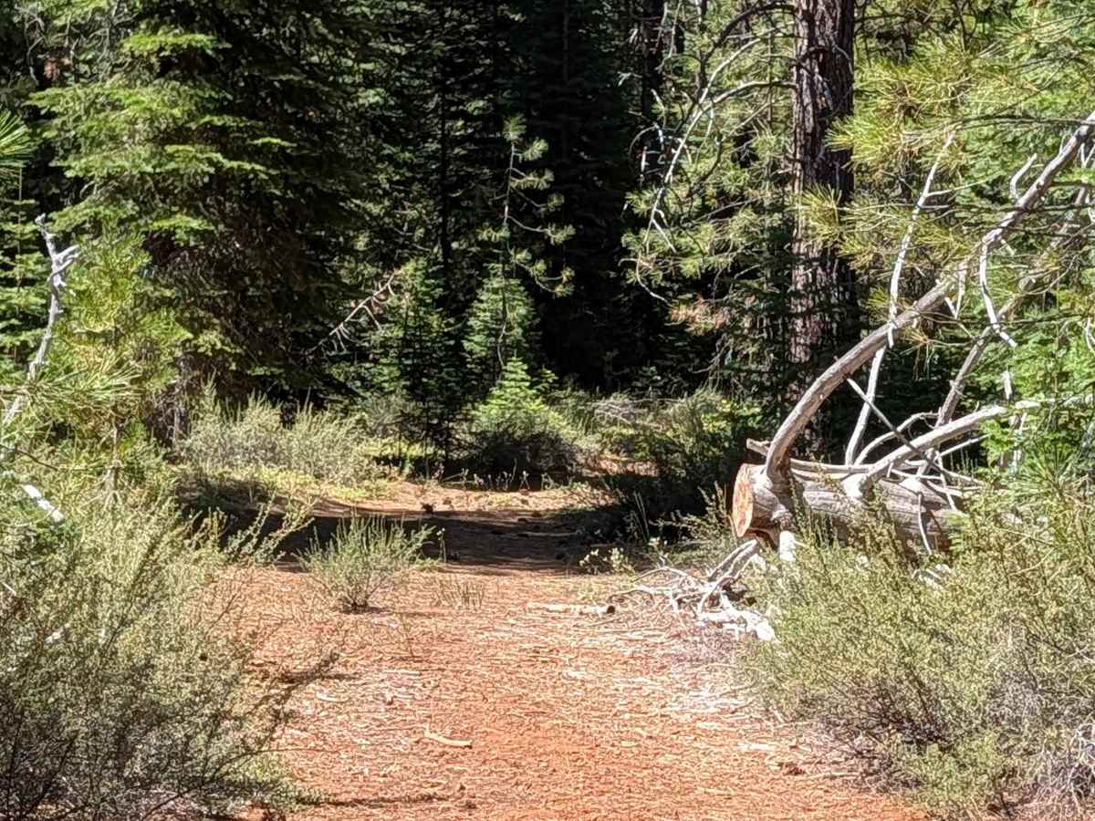
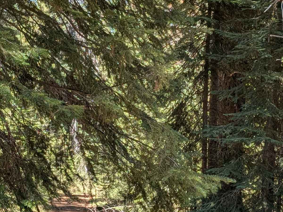
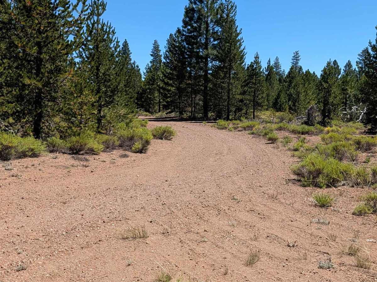
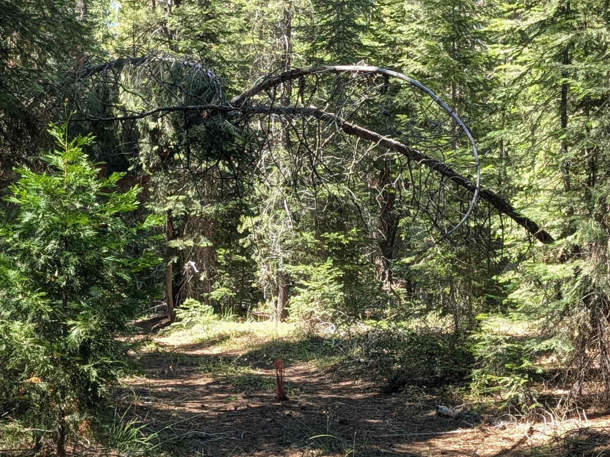
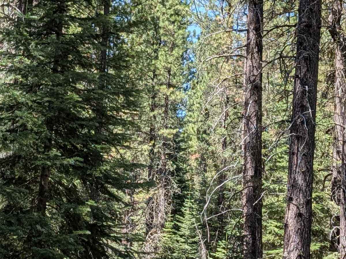
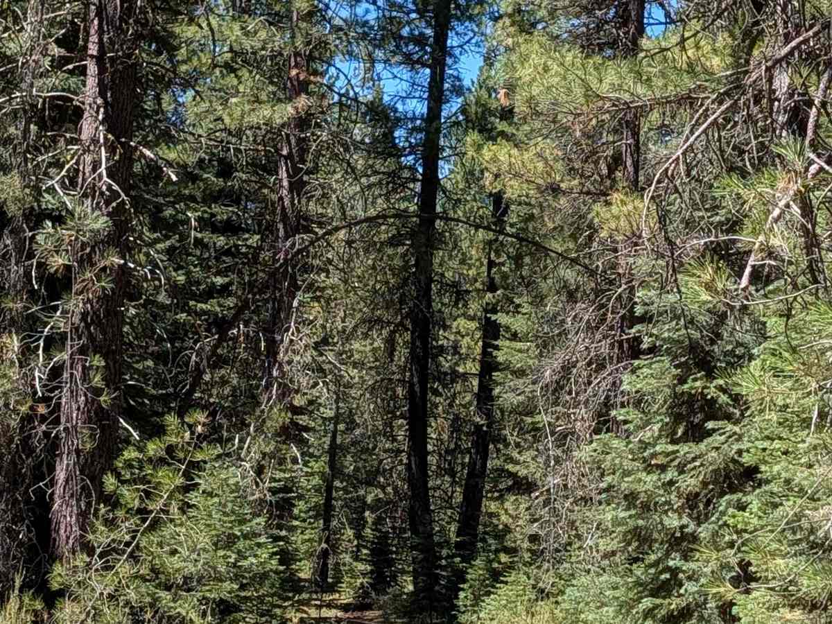
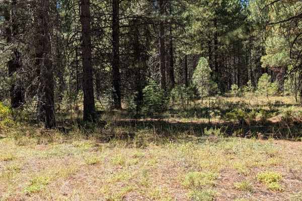
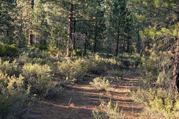
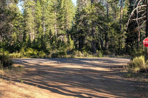
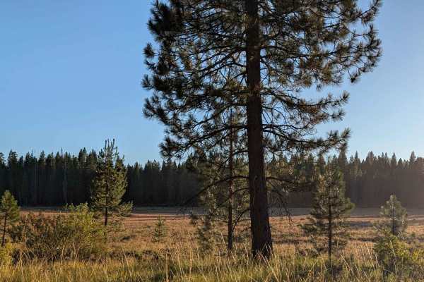
This two-mile point-to-point trail connects Davis - FS 42N04 with White Deer Lake - FS 41N40, reaching the north end of the lake. Much of the route cuts through a young forest within the Shasta National Forest, and the trail stays very narrow with heavy overgrown vegetation and branches throughout. If you don't want pinstripes, this isn't the trail for you. A downed tree along the route has an established bypass, so it doesn't block passage. Drivers will also need to cross one log measuring 15 inches in diameter. The west end of the trail opens up considerably, with fewer obstacles and a surface of gravel and dirt as it passes through new-growth pine forest, still within the Shasta National Forest.
Difficulty
This trail carries a difficulty rating of 3, largely due to the narrow, overgrown corridor and the 15 inch log crossing. The more open west end eases up on obstacles, but the bulk of the route demands tolerance for tight, brushy conditions.