White Deer Lake - FS 41N40

Total Miles2.7
Technical Rating
2Easy
Best TimeFall, Summer, Spring
Trail TypeFull-Width Road
Accessible By
Open Trail Map

Trail Overview

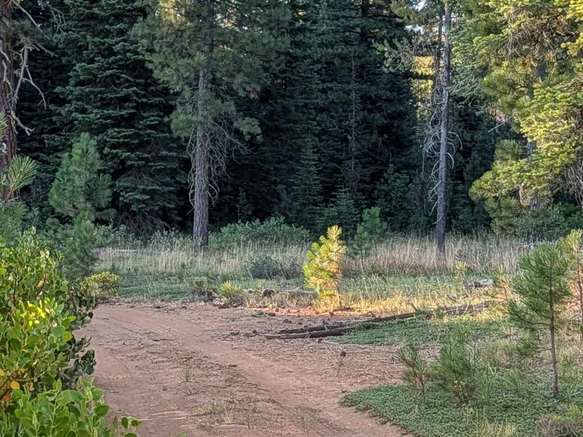
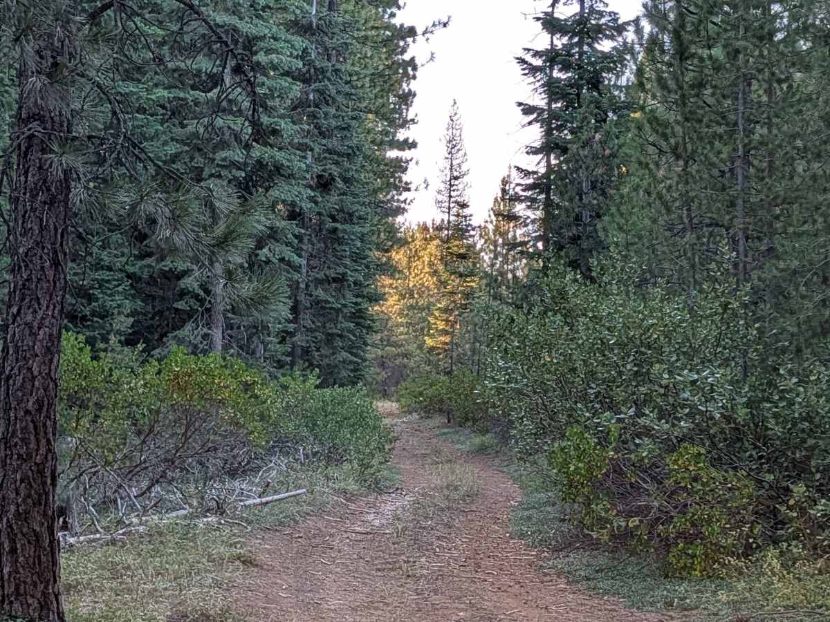
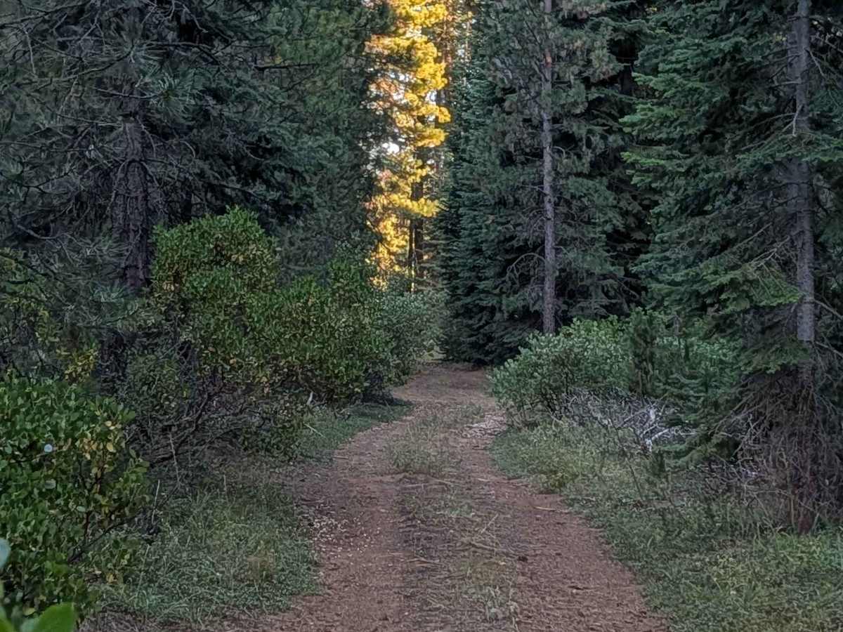
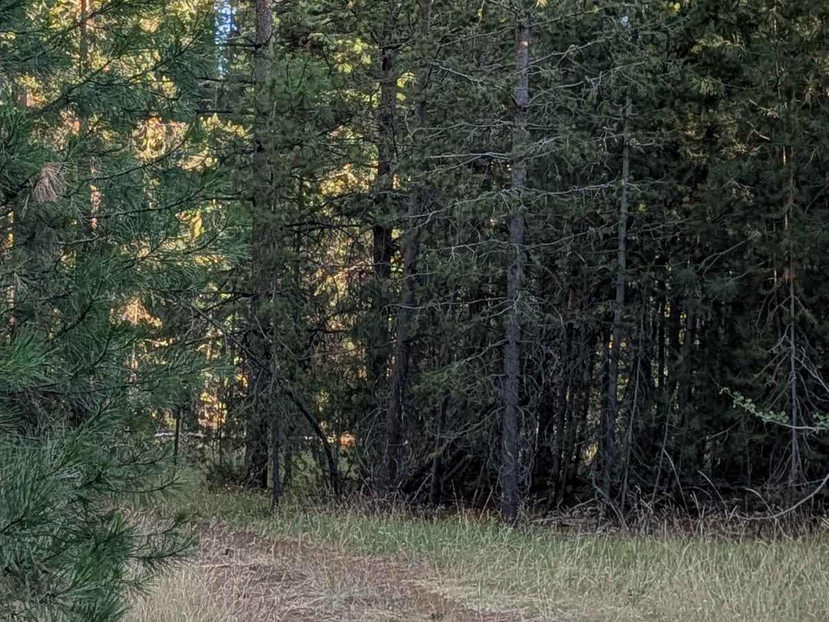
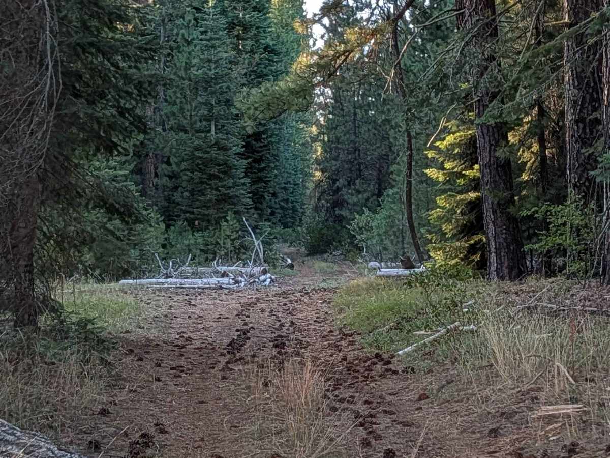
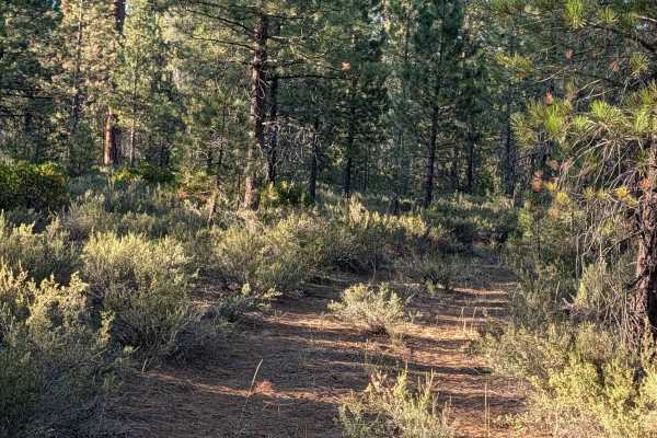
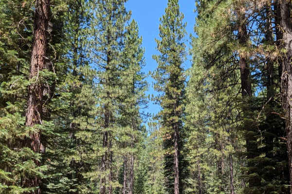
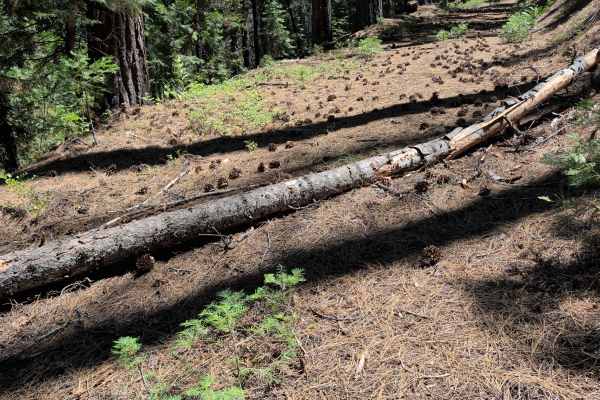
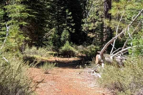
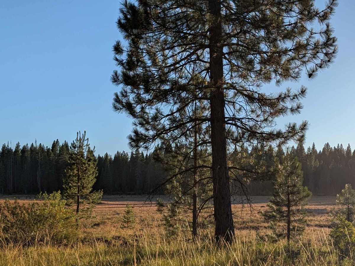
This 2.5-mile point-to-point trail ends at the east side of White Deer Lake, connecting White Deer Lake East - FS 40N07Y Trail with Hambone - FS 41N23. From the north end, the trail starts off in a wide meadow area, though it quickly narrows as it cuts into the forest. Lots of overgrown grass fills the median and surrounding vegetation, set among fairly young pine trees within the Shasta National Forest. Several tight sections feature overgrown brush and branches that may leave pinstripes on your vehicle. The surface is hard-packed dirt covered with pine cones, and the trail can get very dusty at times. Drivers will need to go over one 6-inch log along the route, one of the few notable obstacles on an otherwise mild trail.

Photos of White Deer Lake - FS 41N40

Difficulty

This trail has an easy difficulty rating (2), reflecting the hard-packed surface and minimal obstacles beyond the single 6-inch log crossing. The tighter, overgrown sections add some brush contact, but the trail overall remains approachable.

Technical Rating

2

White Deer Lake - FS 41N40 Trail can be accessed by the following ride types:

  • Single Track
  • 50 Inch
  • 60 Inch
  • High Clearance
  • Full Width

White Deer Lake - FS 41N40 Map

The onX Offroad Difference

onX Offroad combines trail photos, descriptions, difficulty ratings, width restrictions, seasonality, and more in a user-friendly interface. Available on all devices, with offline access and full compatibility with CarPlay and Android Auto. Discover what you're missing today!

Open Trail Map