Lava Crack Spring - FS 41N28

Total Miles4.4
Technical Rating
3Easy
Best TimeFall, Summer, Spring
Trail TypeFull-Width Road
Accessible By
Open Trail Map

Trail Overview

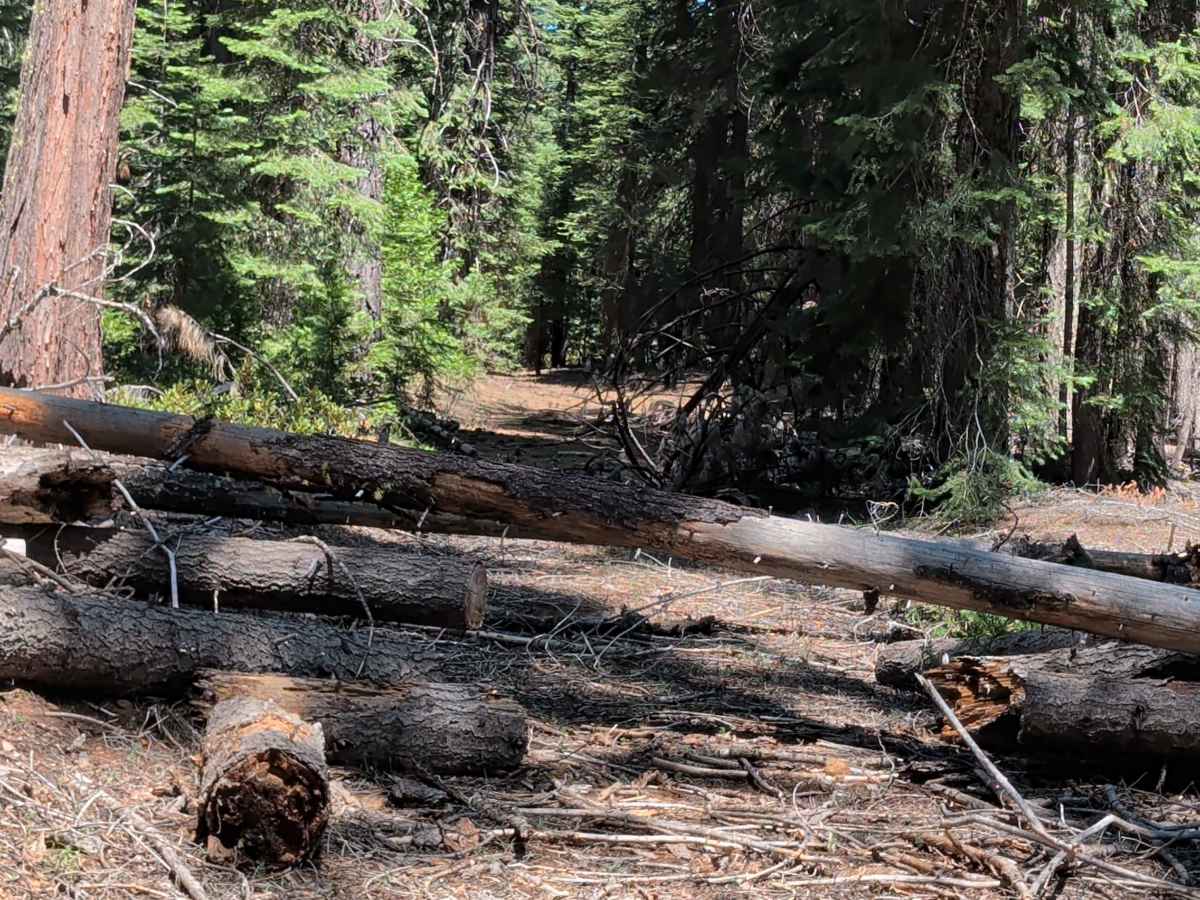
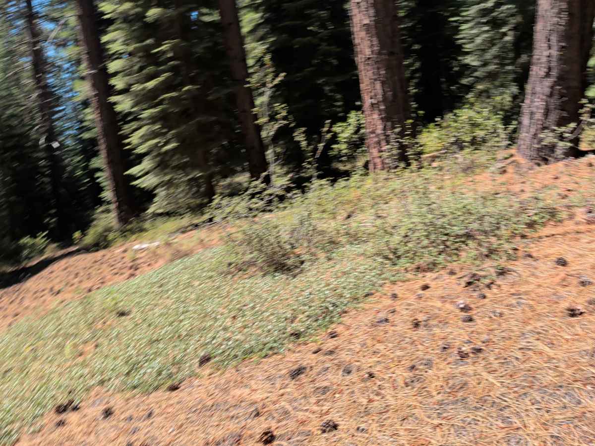
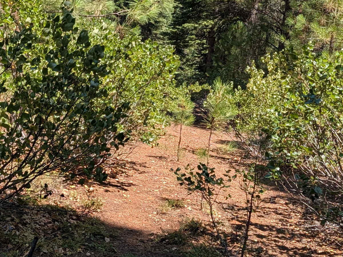
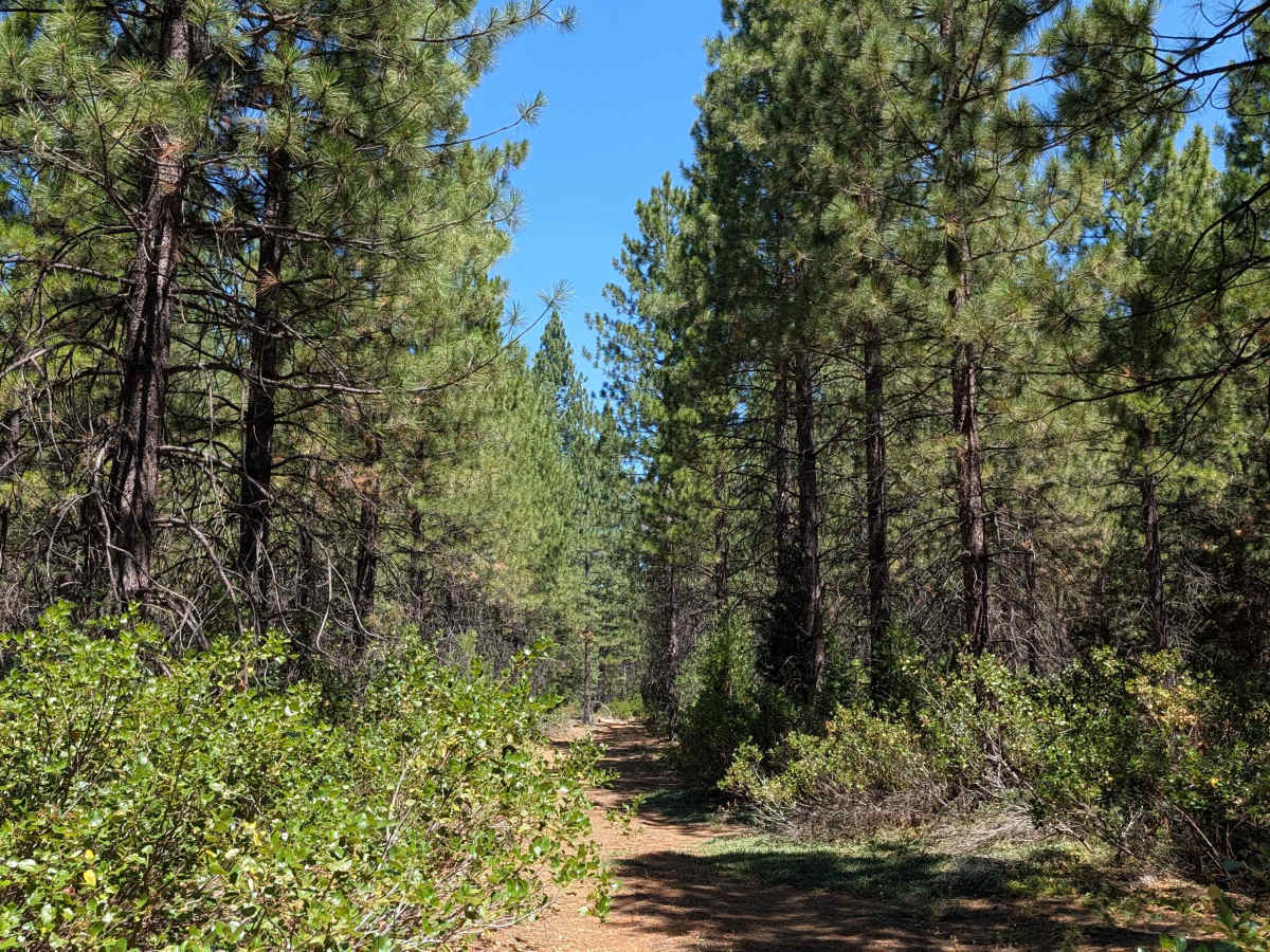
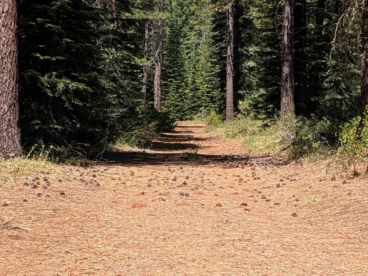
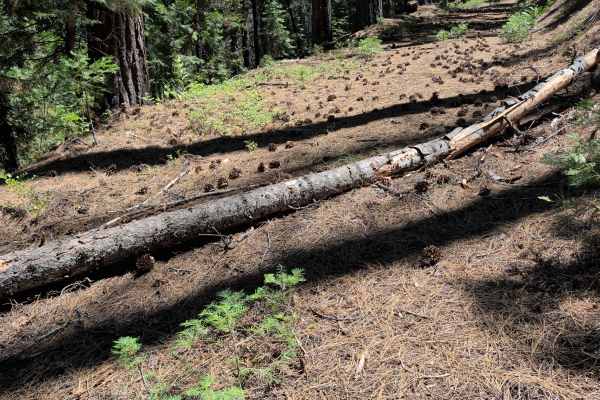
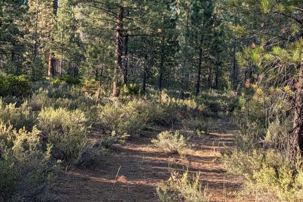
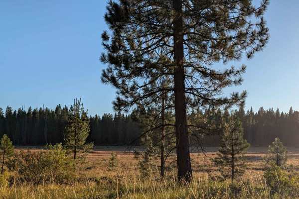
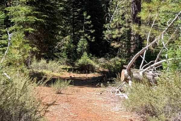
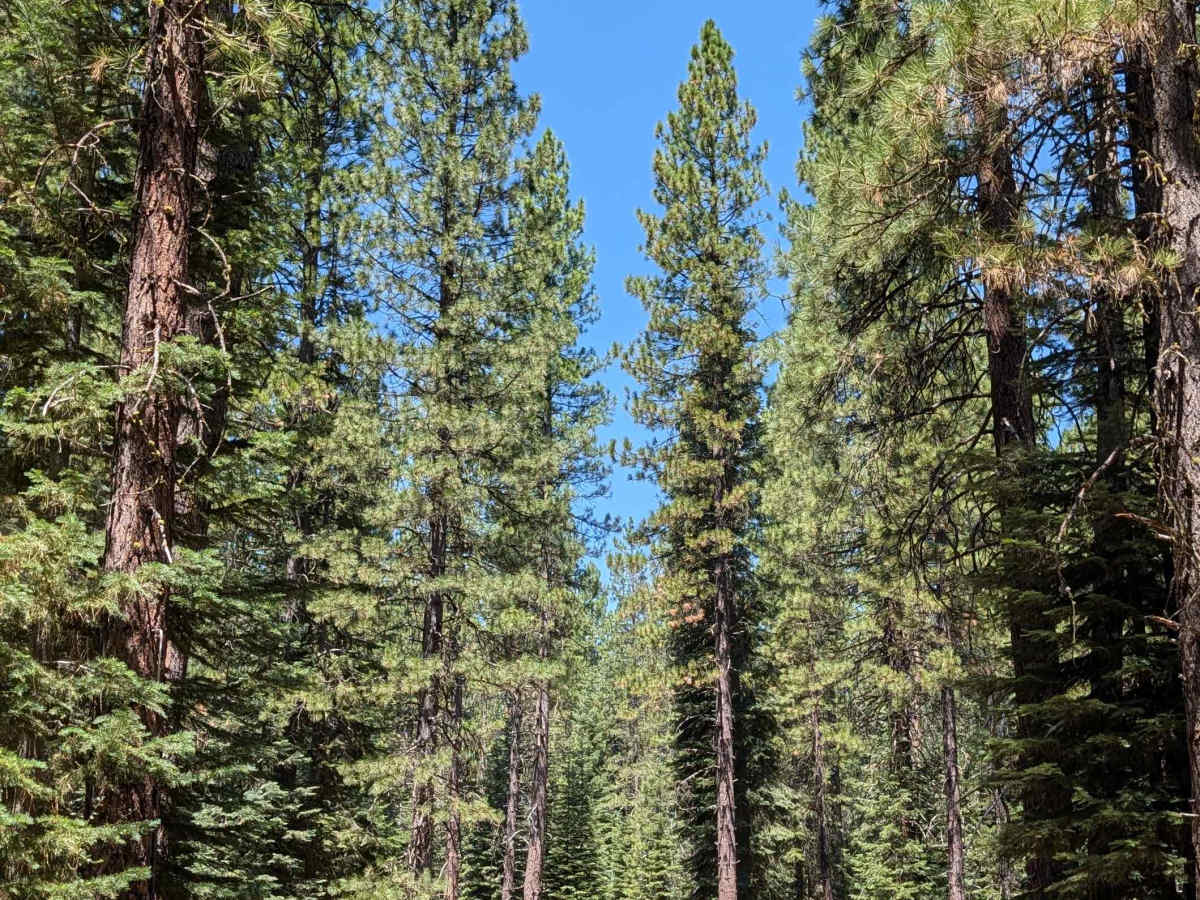
This 4.4+ mile point-to-point route starts on Hambone - FS 41N23 and ends at Water Spot - FS 42N28. It runs 1 to 1.5 vehicles wide, with a surface of loose dirt covered in dried pine needles and pine cones. The route travels through young pine trees and overgrown manzanita bushes, all within the Shasta National Forest. Various cut-down logs require maneuvering around throughout the drive, along with some overgrown vegetation in the road median. Drivers will also go over a couple of small branches, navigate around a downed tree, and cross a couple of small logs, including one about 8 inches in diameter. Despite these obstacles, the trail stays fairly smooth overall. A few opportunities for dispersed camping exist along the way.

Photos of Lava Crack Spring - FS 41N28

Difficulty

This route carries a difficulty rating of 3, reflecting the 15-inch-diameter log crossing and the general need to maneuver around cut logs and downed trees throughout the route.

Technical Rating

3

Lava Crack Spring - FS 41N28 Trail can be accessed by the following ride types:

  • Single Track
  • 50 Inch
  • 60 Inch
  • High Clearance
  • Full Width

Lava Crack Spring - FS 41N28 Map

The onX Offroad Difference

onX Offroad combines trail photos, descriptions, difficulty ratings, width restrictions, seasonality, and more in a user-friendly interface. Available on all devices, with offline access and full compatibility with CarPlay and Android Auto. Discover what you're missing today!

Open Trail Map