West Lava Rim - FS 40N93Y

Total Miles4.6
Technical Rating
2Easy
Best TimeFall, Summer, Spring
Trail TypeFull-Width Road
Accessible By
Open Trail Map

Trail Overview

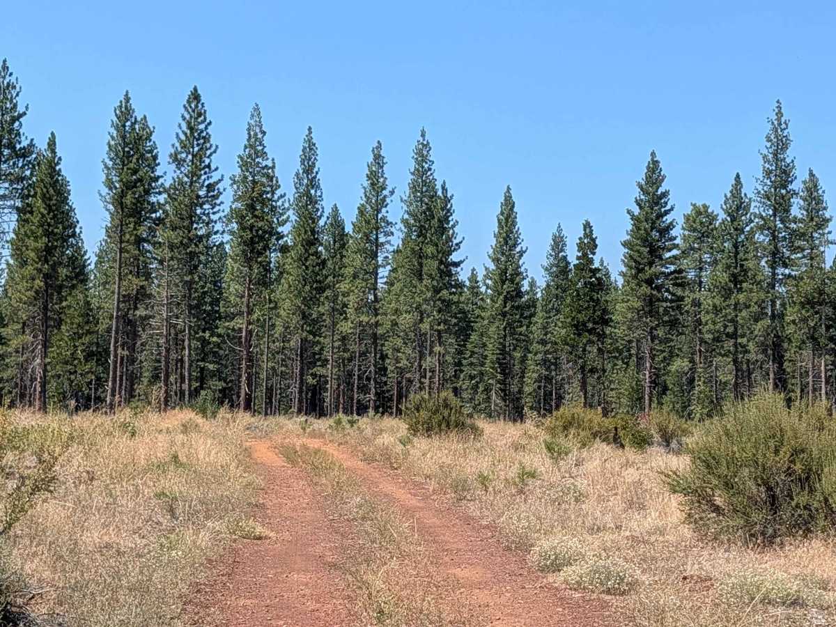
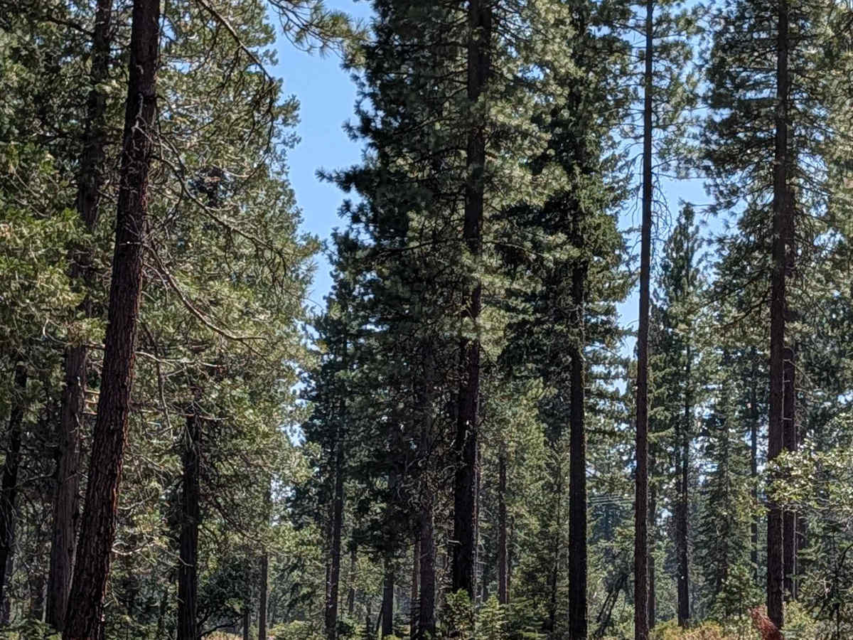
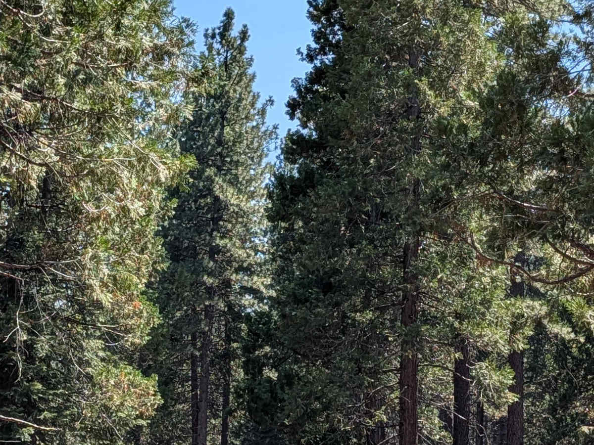
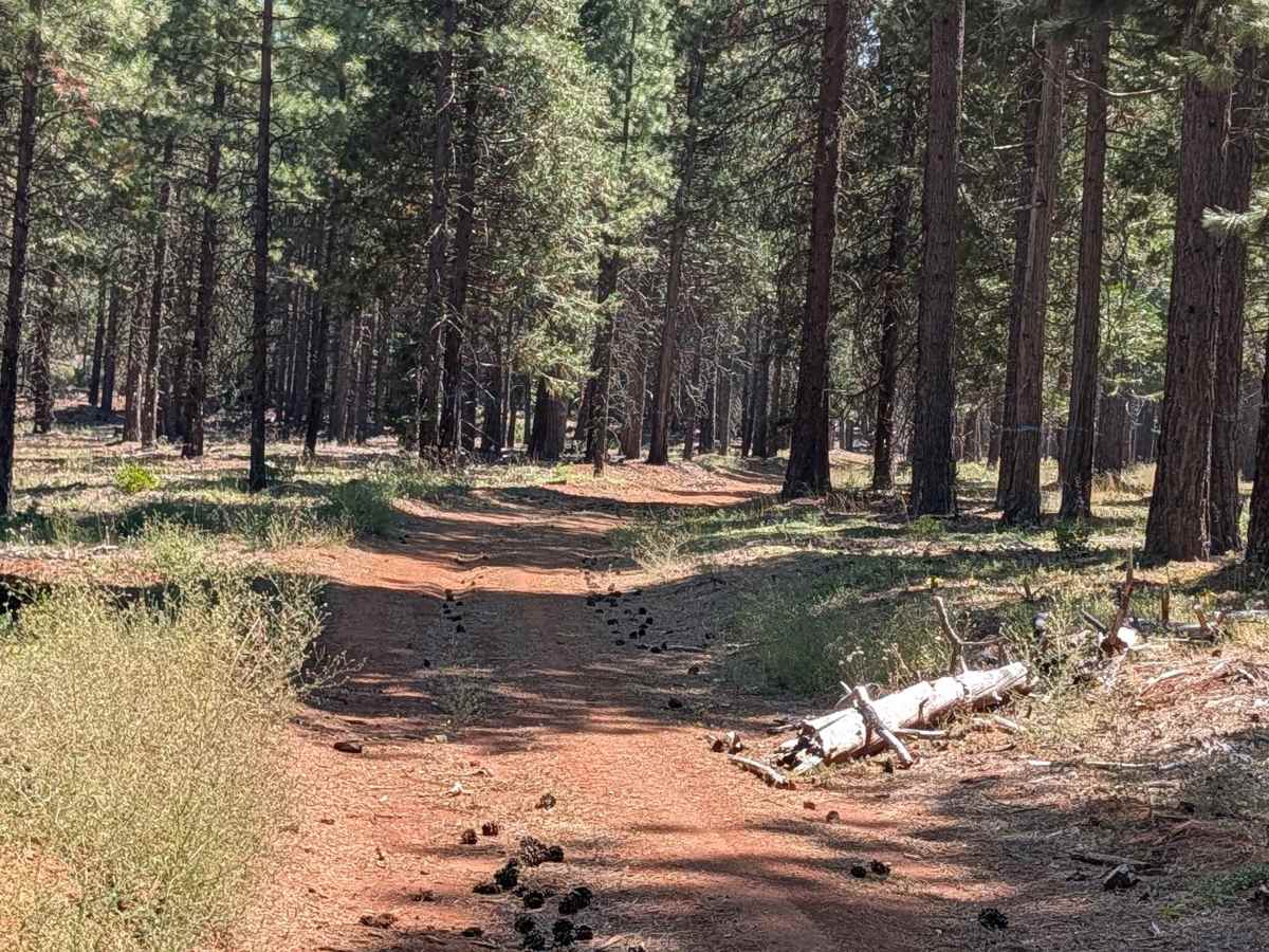
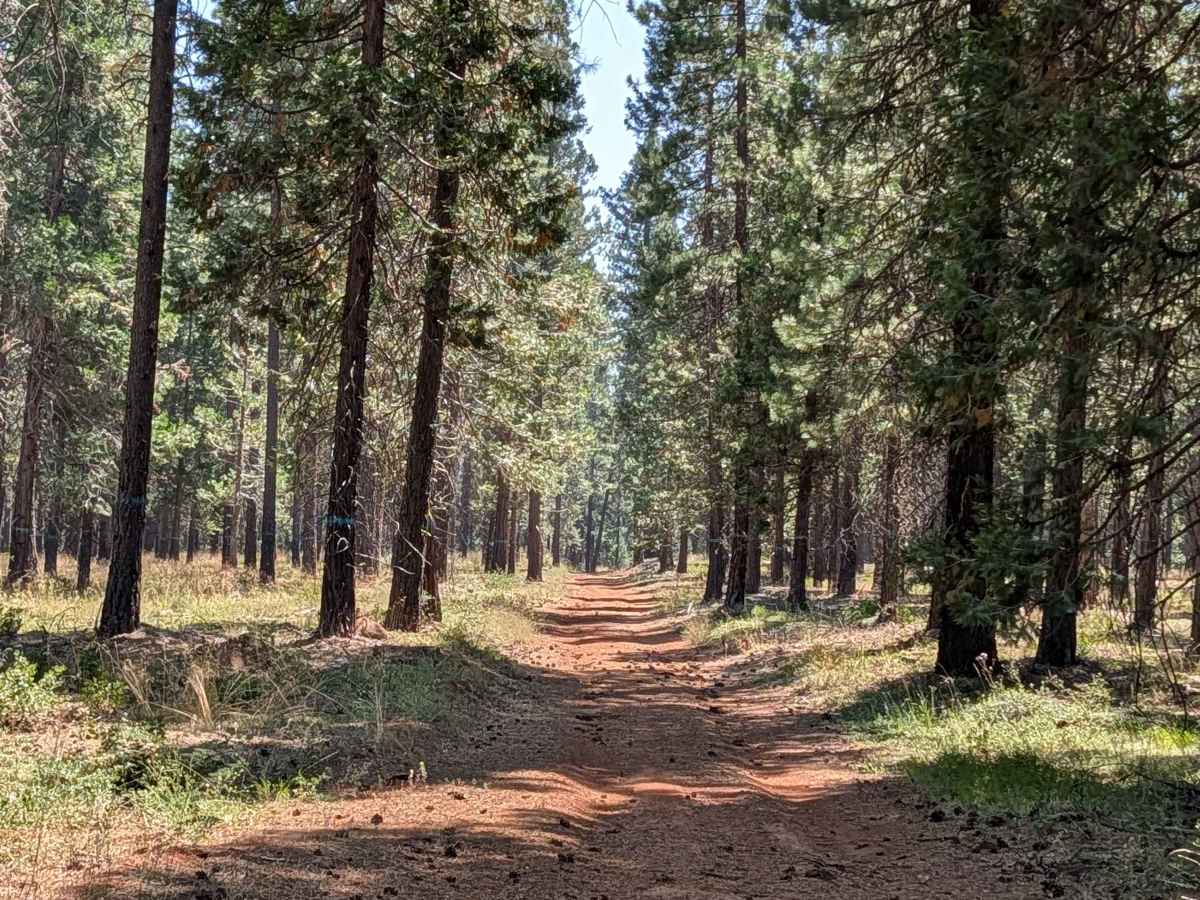
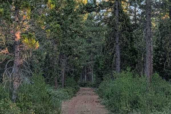
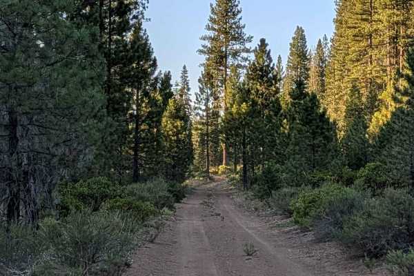
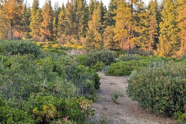
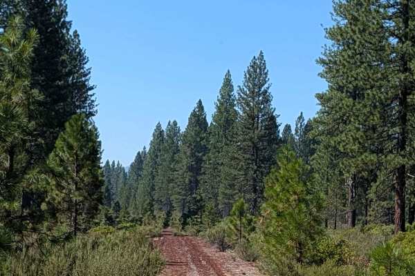
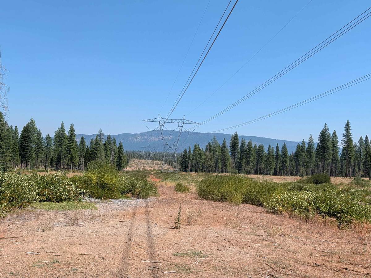
This 4.6-mile point-to-point trail starts on Old Camp 2 and ends at Intertie - FS 40N15Y. Running north to south, the route follows the east border of the Shasta National Forest, right next to the Lassen National Forest. The trail is surrounded by pine trees that appear marked for logging. It stays one vehicle wide, with a surface of very dusty dirt covered by old dried pine needles. The first two miles on the north end are fairly straightforward and smooth. From there, the trail heads east then north again, and conditions change, bringing more ruts and bumps, all under 6 inches.

Photos of West Lava Rim - FS 40N93Y

Difficulty

Expect smooth going until it shifts east to wests then north again. Then surface is more bumpy with some ruts and uneven surfaces.

Technical Rating

2

West Lava Rim - FS 40N93Y Trail can be accessed by the following ride types:

  • Single Track
  • 50 Inch
  • 60 Inch
  • High Clearance
  • Full Width

West Lava Rim - FS 40N93Y Map

The onX Offroad Difference

onX Offroad combines trail photos, descriptions, difficulty ratings, width restrictions, seasonality, and more in a user-friendly interface. Available on all devices, with offline access and full compatibility with CarPlay and Android Auto. Discover what you're missing today!

Open Trail Map