Trail Overview
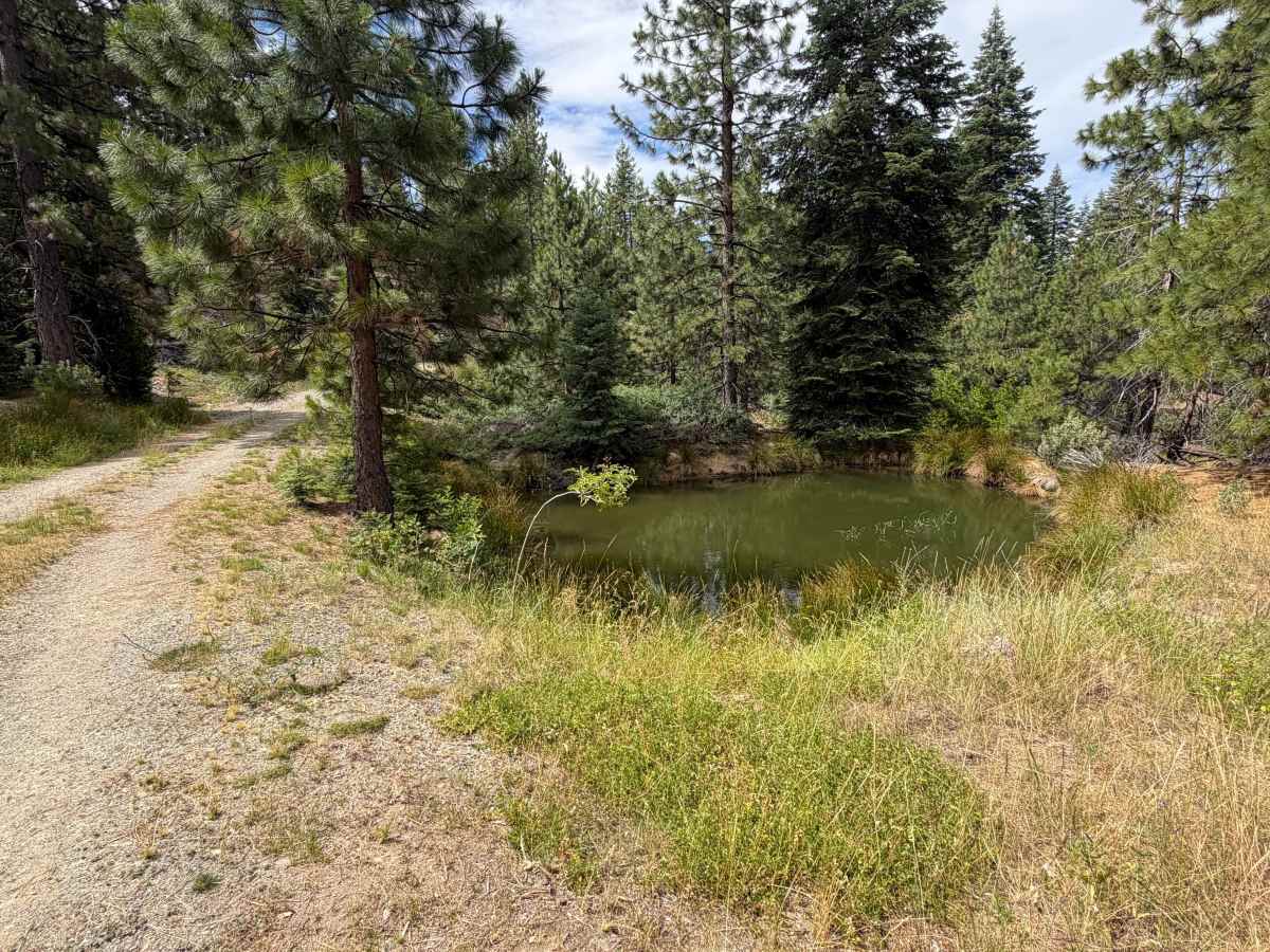
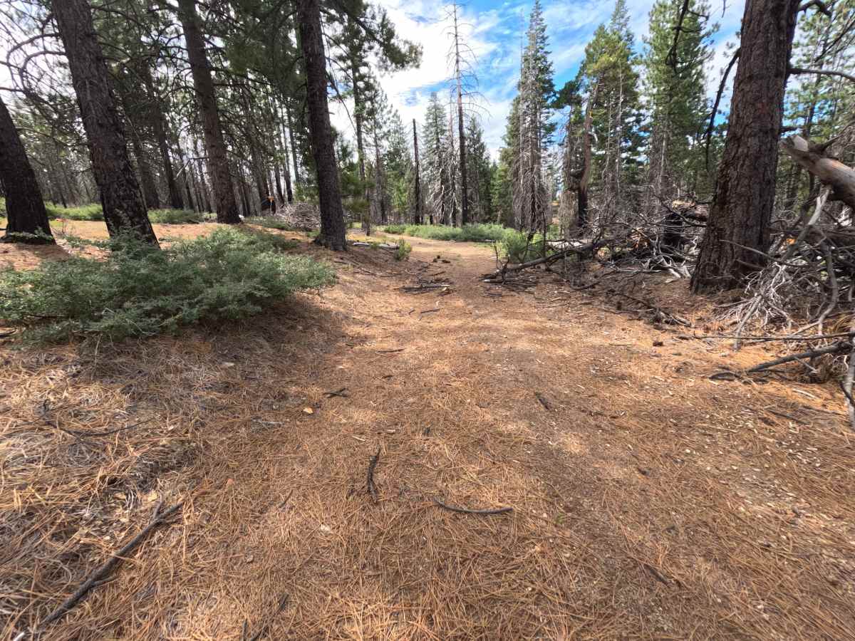
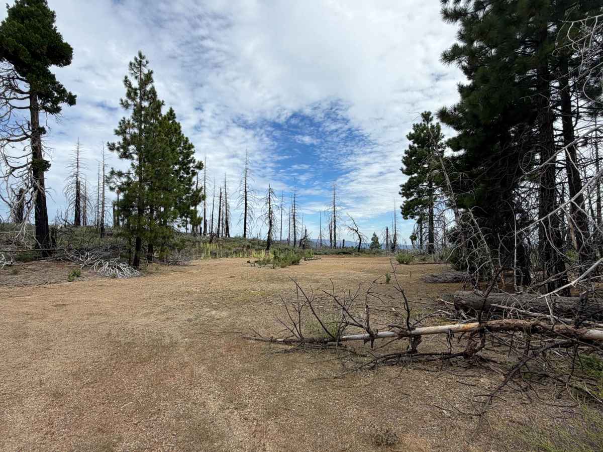
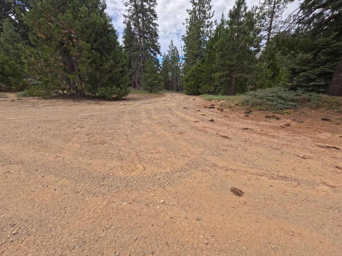
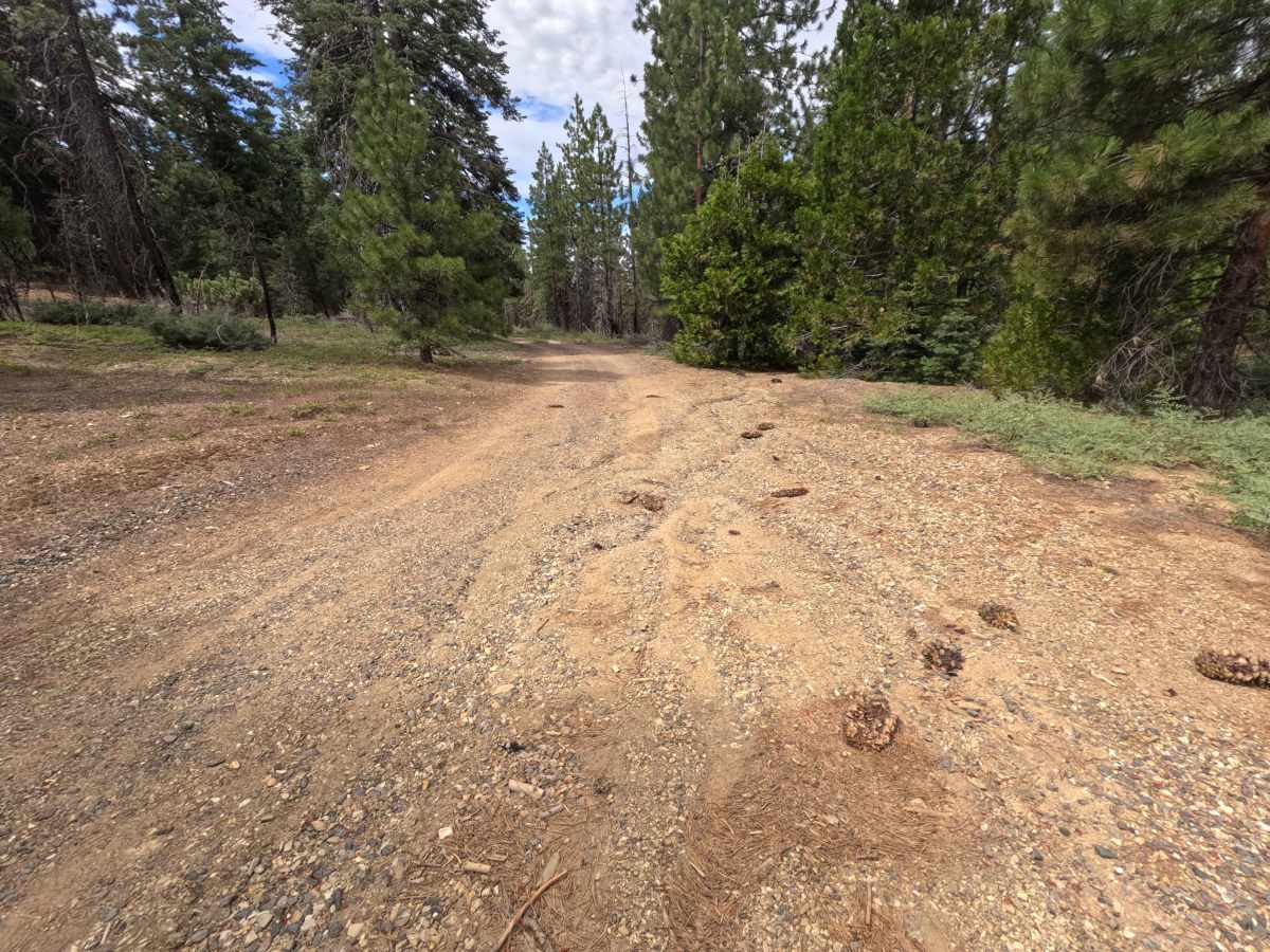
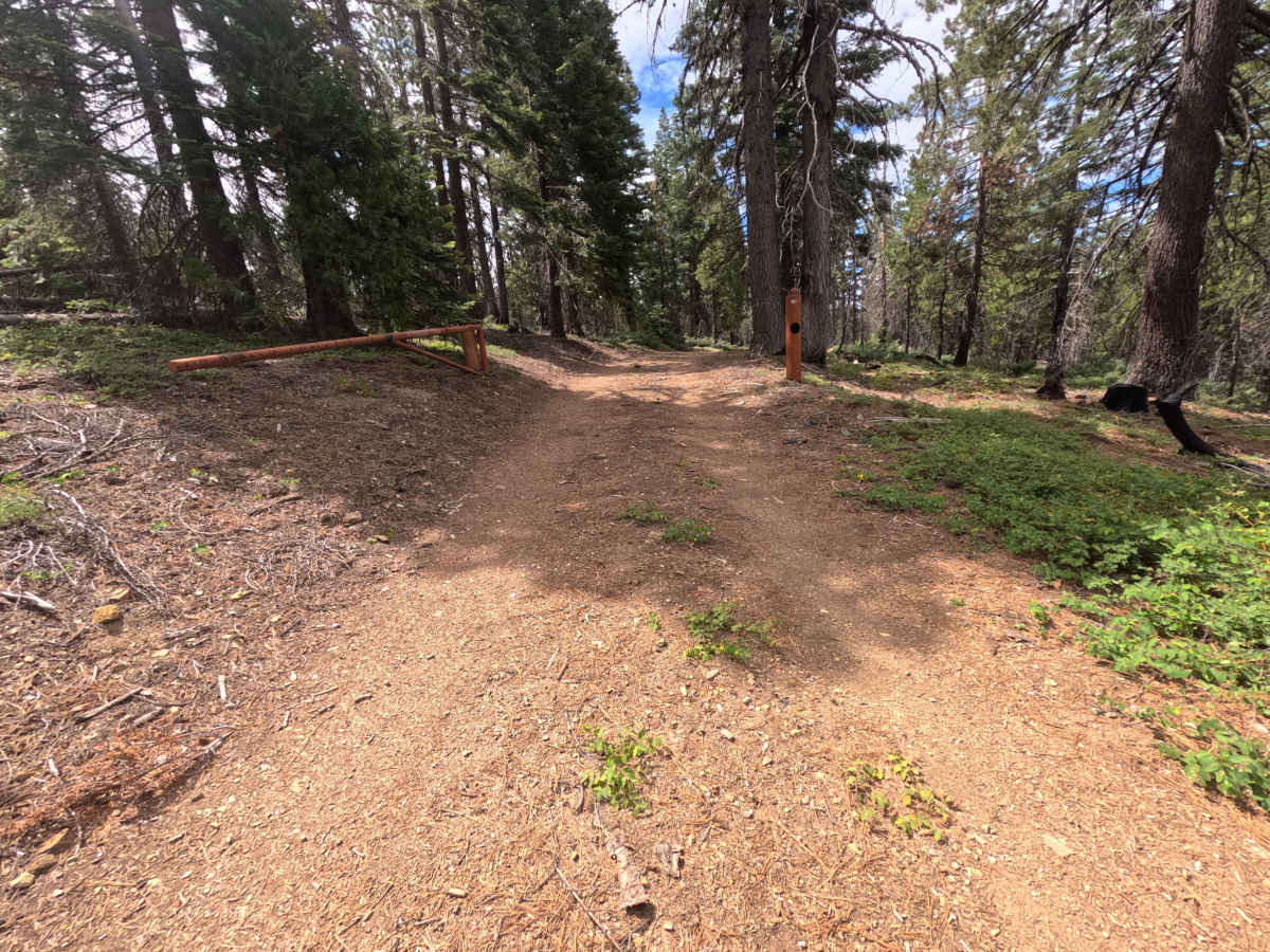
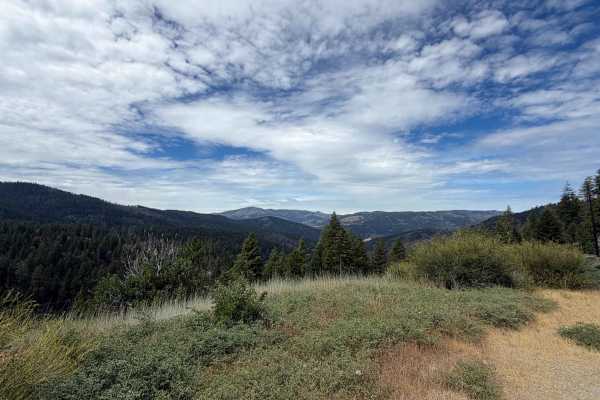
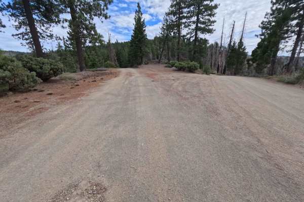
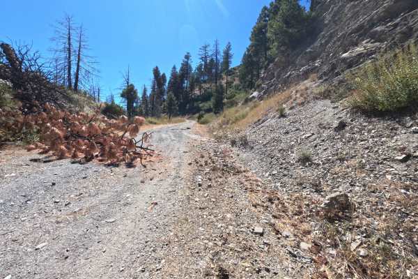
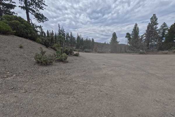
Accessed directly off Forest Road 21N02, Wallow - FS 20N126 is a scenic 0.5-mile single-lane dirt out-and-back spur in the Mendocino National Forest. Set within a mixed conifer forest recovering from the 2020 August Complex wildfire, the landscape features regrowing understory brush. The driving surface consists of a single-track dirt road featuring pine litter and mild loose soil, earning an accessible Grade 2 difficulty rating. Directly across from the entrance on FS 21N02 sits an expansive, flat dispersed campsite featuring panoramic eastern views. Passing through a seasonal gate at 0.1 miles, the trail reaches a short side spur at 0.2 miles leading to a sheltered forest camp equipped with a horse hitching rail, fire grill, and a seasonal spring. At 0.4 miles, another broad campsite offers a picnic table, fire ring, and connections to adjacent rugged spurs. The maintained route concludes just past 0.5 miles at a wide clearing, beyond which the old roadbed becomes abandoned, overgrown, and blocked by fallen trees.
Difficulty
Earning an accessible Grade 2 difficulty rating, this 0.5-mile dirt spur presents a smooth, level dirt surface free of technical rock ledges, deep mud holes, or severe washouts. Standard stock vehicles can easily traverse the track during open seasonal periods by maintaining a slow, controlled speed. Drivers should watch for the seasonal closure gate at 0.1 miles, exercise care when pulling into campsite spurs, and utilize the wide clearing at 0.5 miles to turn around before reaching the overgrown, blowdown-covered dead end.