Trail Overview
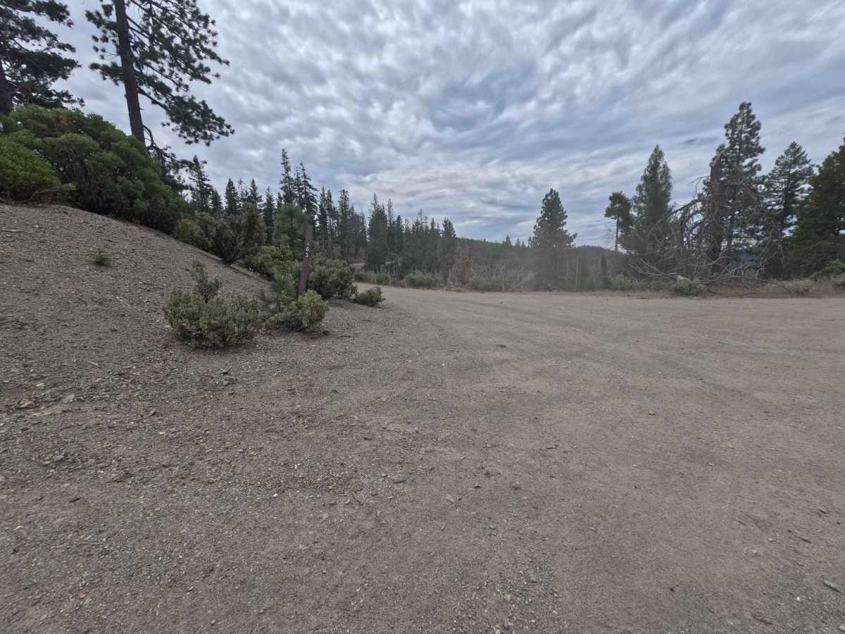
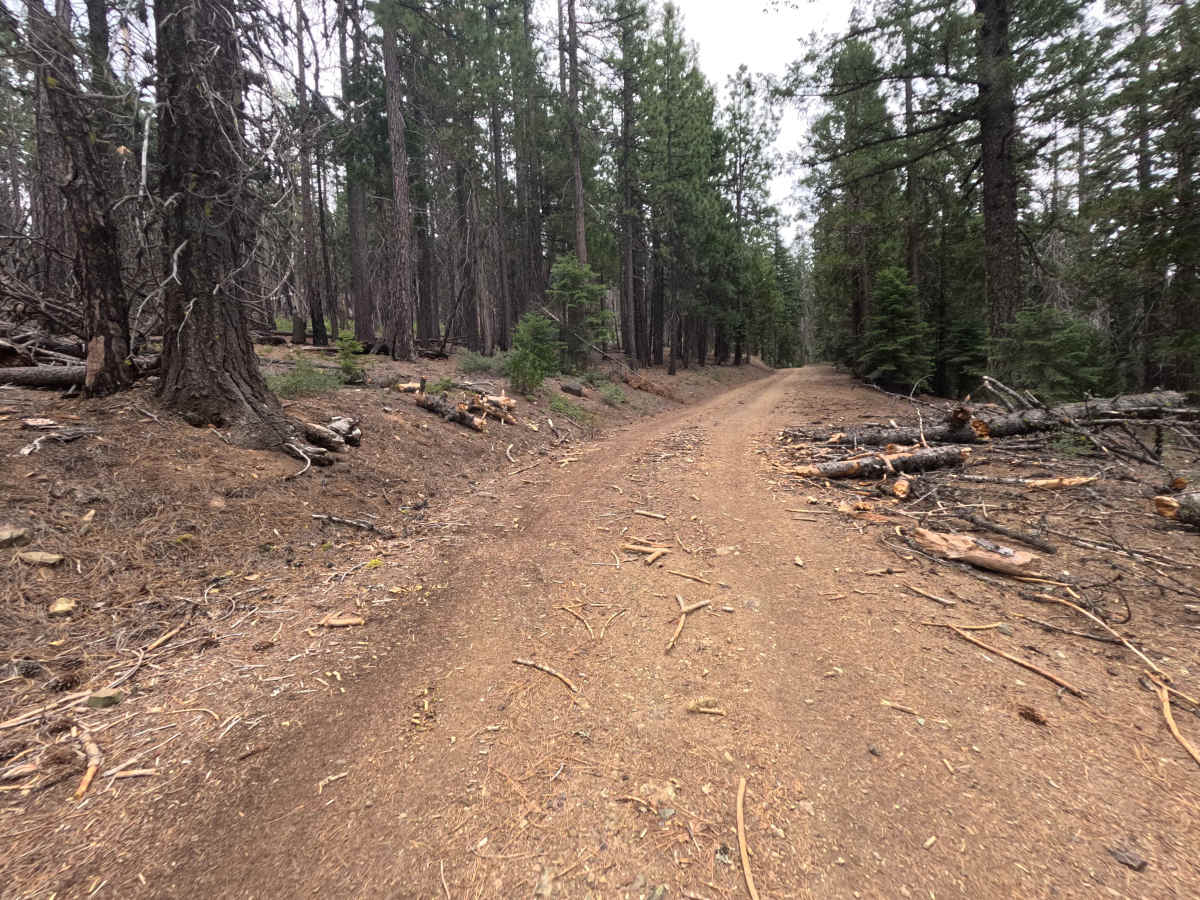
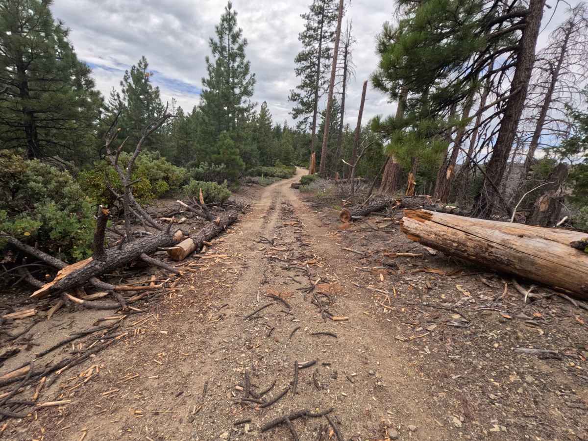
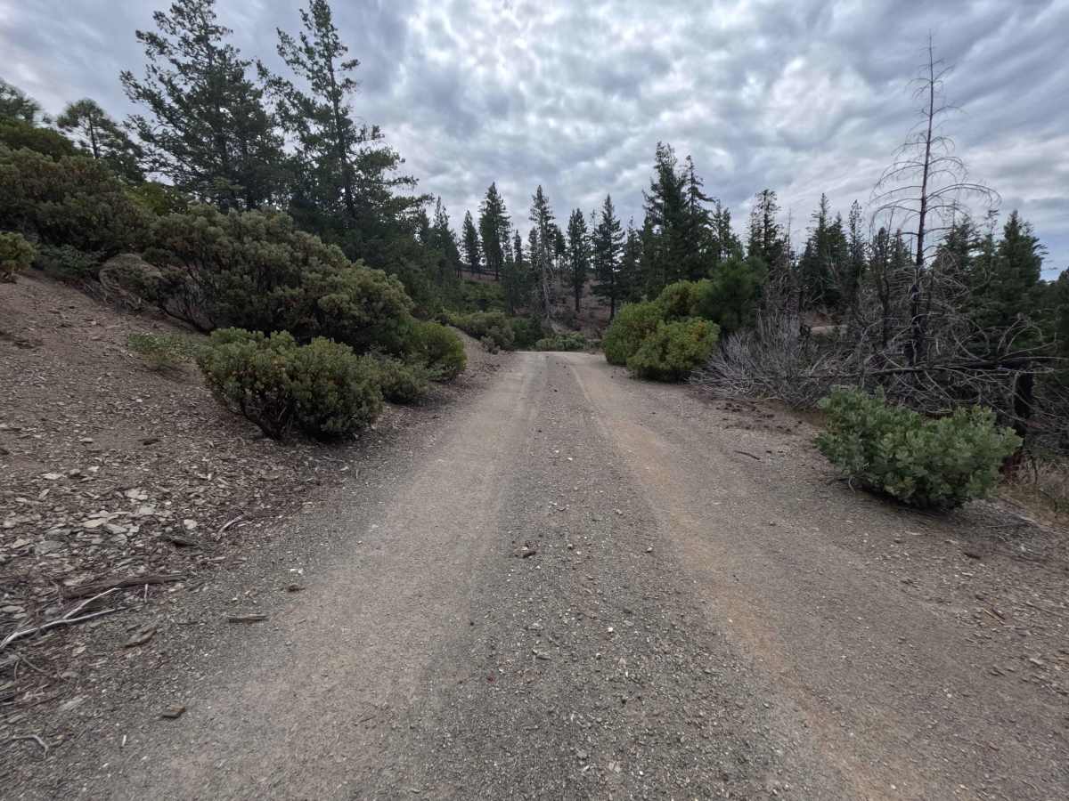
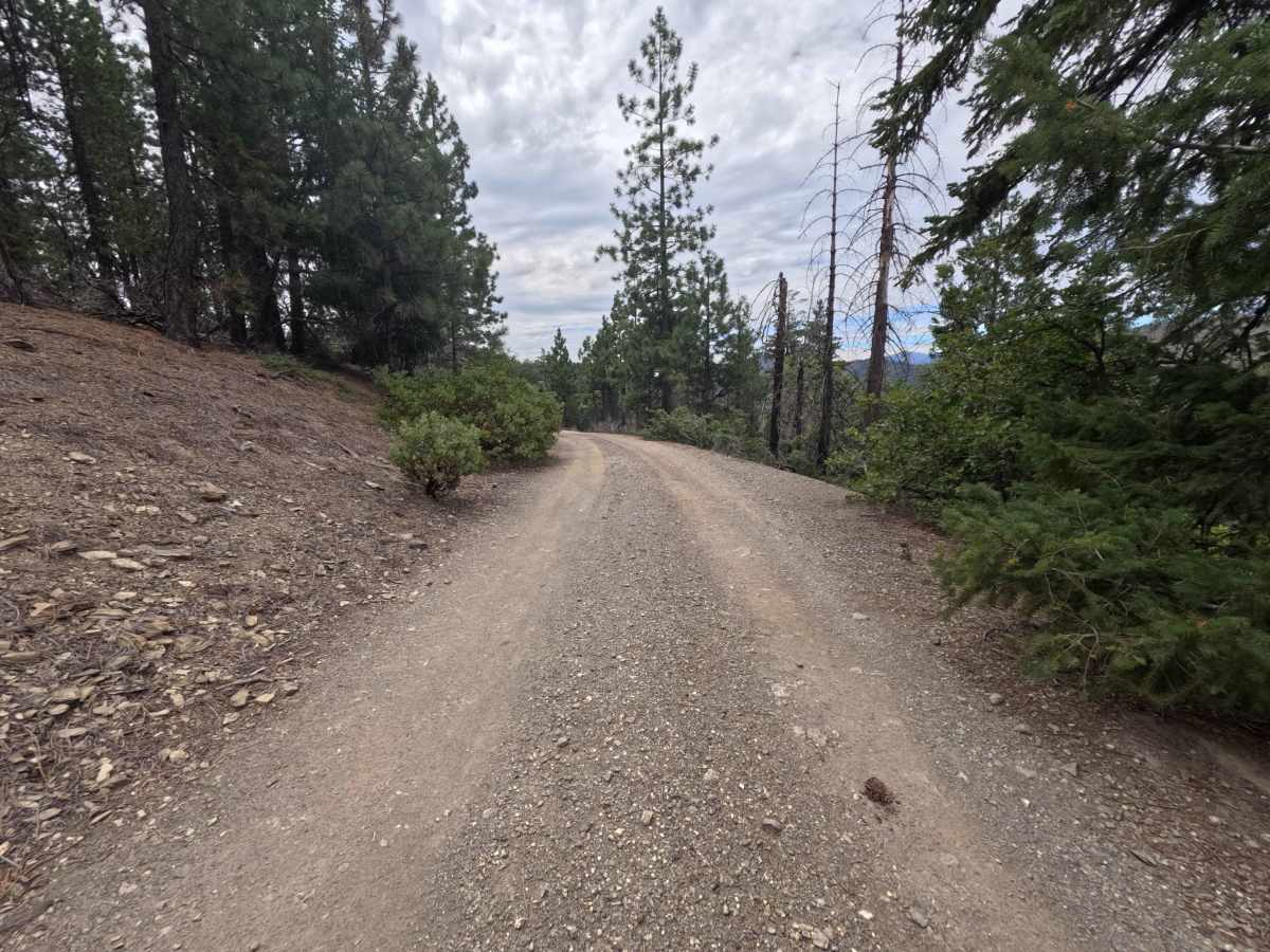
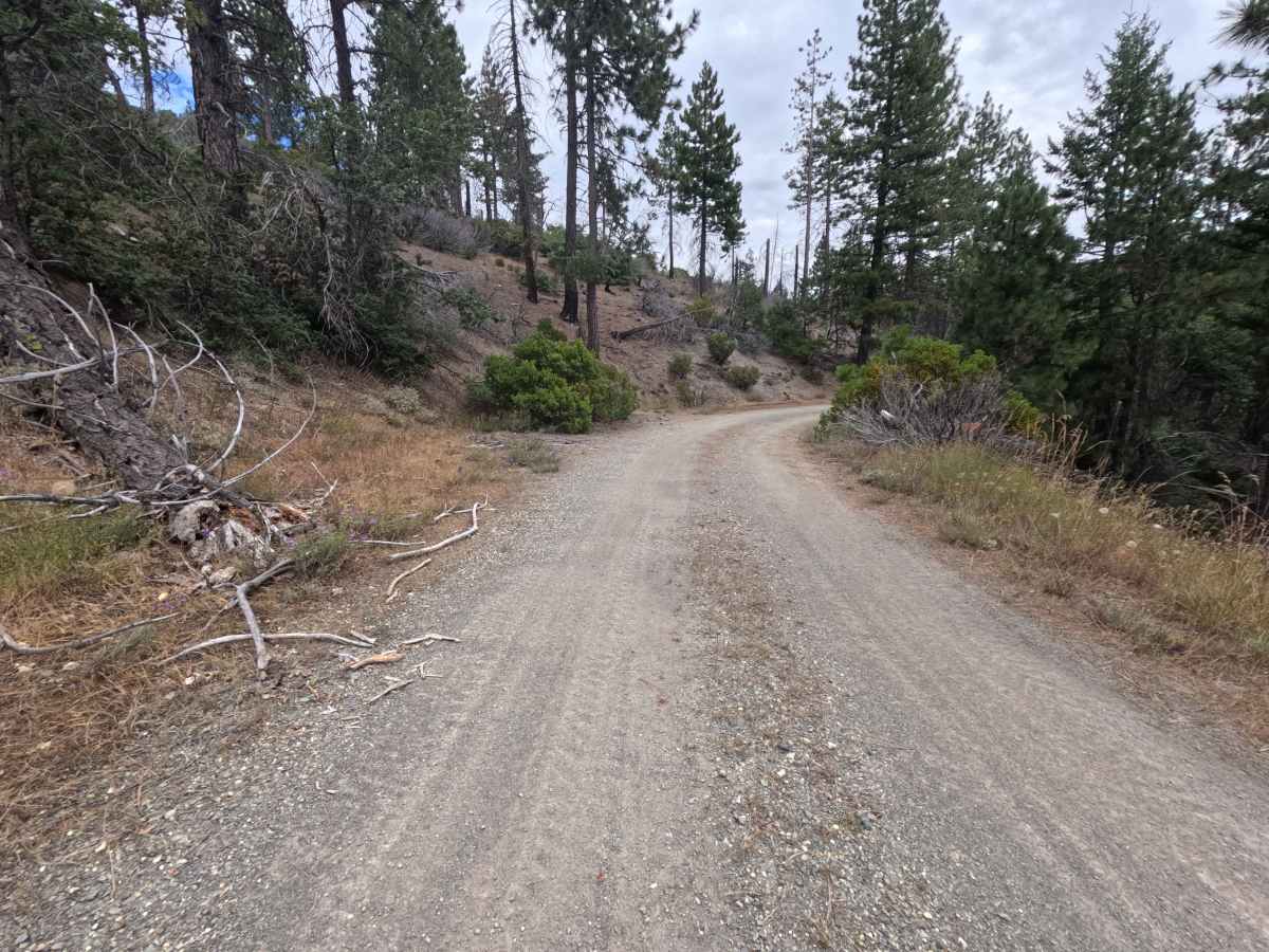
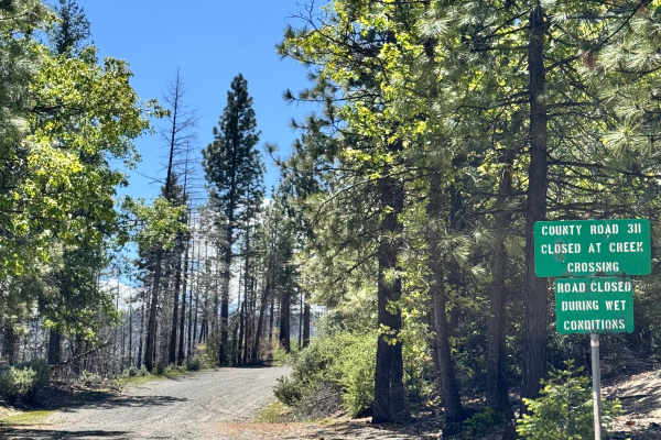
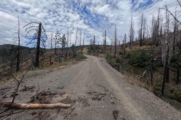
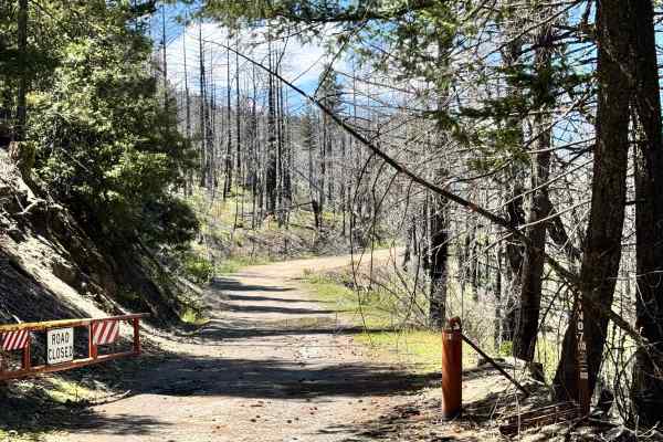
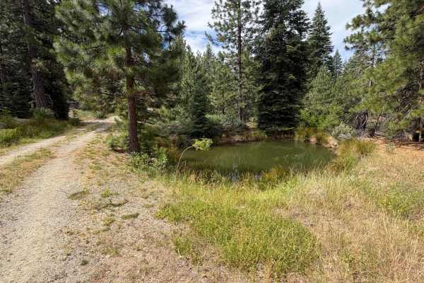
Accessed directly off the prominent intersection where Forest Highway M6 meets and transitions into Forest Highway M3, Lower Jumbo Springs - FS 20N63 is a 1.5-mile single-lane dirt connecting spur providing seamless throughput deeper into the forest road network. Set within a coniferous mountain woodland recovering from the 2020 August Complex wildfire in the Mendocino National Forest, the landscape combines regrowing chaparral brush with tall pine timber and standing snags. Outdoor enthusiasts and overlanders travel this peaceful route to reach established primitive dispersed campsites or to connect smoothly between major forest corridors. The driving surface consists of a well-traveled, nicely graded dirt and fine gravel road, earning an accessible Grade 1 difficulty rating. Leaving the main intersection, the track maintains a predictable, gentle grade with minimal surface agitation. Roadside campsites appear at 0.5, 0.6, and 1.0 miles, including a shaded pullout sheltered beneath evergreen boughs. Fallen trees along the right-of-way have been neatly cleared, though a cut log section at 1.3 miles creates a narrower squeeze requiring careful line placement for wider vehicles before the trail reaches its terminal multi-road junction at 1.5 miles.
Difficulty
This 1.5-mile connecting spur presents a smooth, well-maintained dirt and gravel surface free of technical obstacles. Steep inclines, deep mud holes, severe ruts, and clearance-testing boulders are entirely absent throughout the drive. Standard stock vehicles can travel the route without risk under dry seasonal conditions. The primary consideration involves navigating through a cut log opening near the 1.3-mile mark, where drivers should maintain a slow speed and keep wheels centered through the gap.