Trail Overview
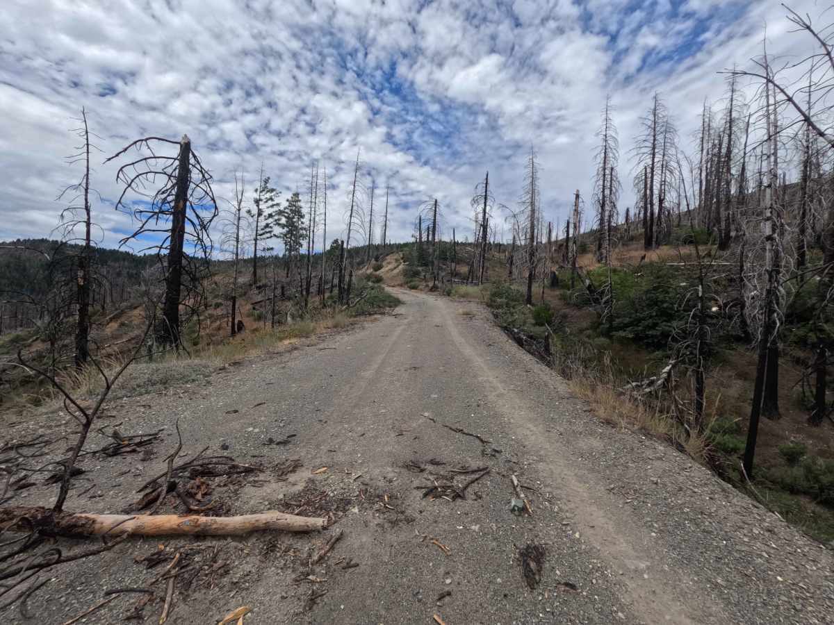
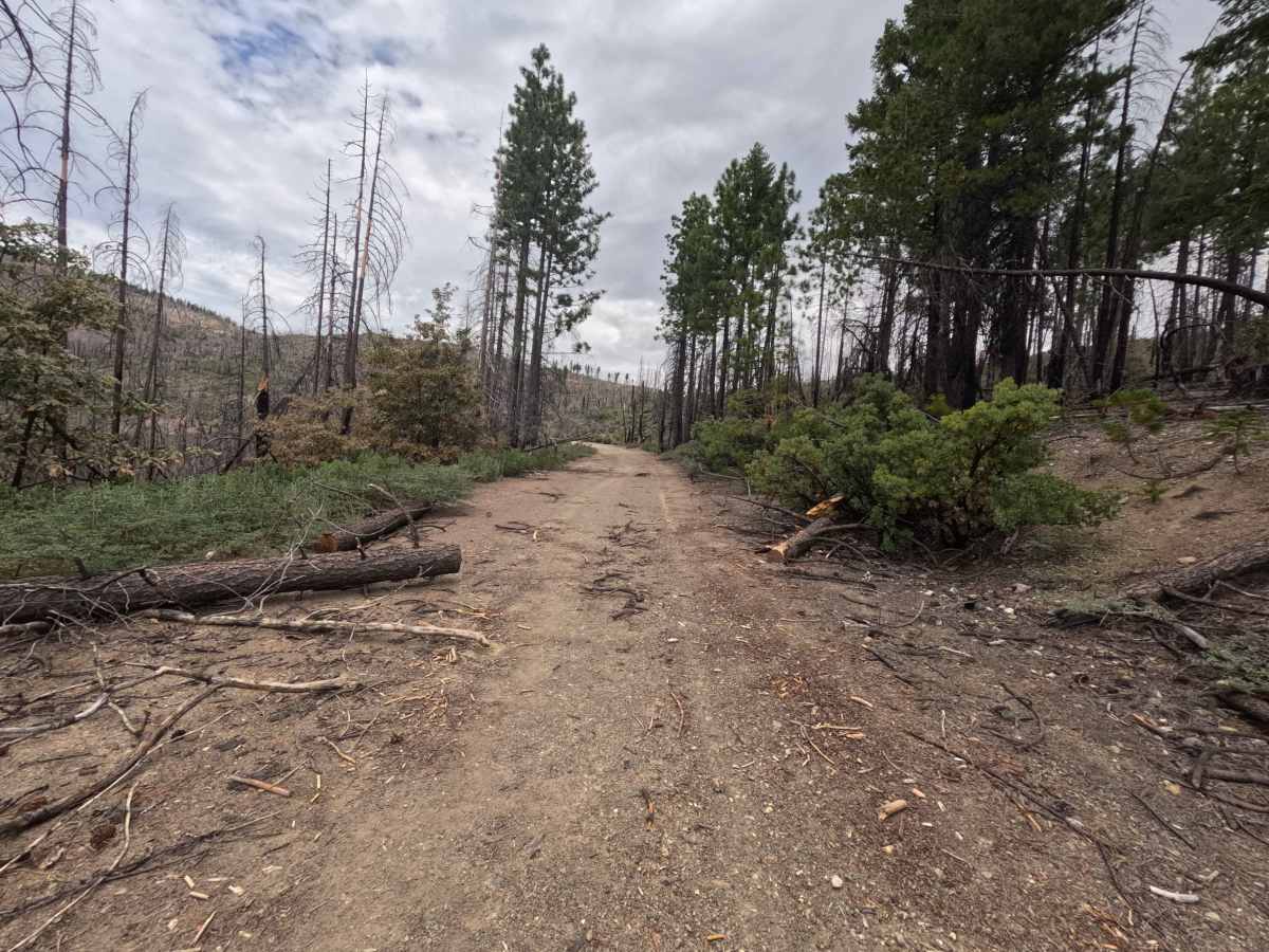
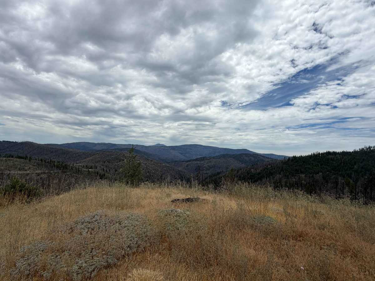
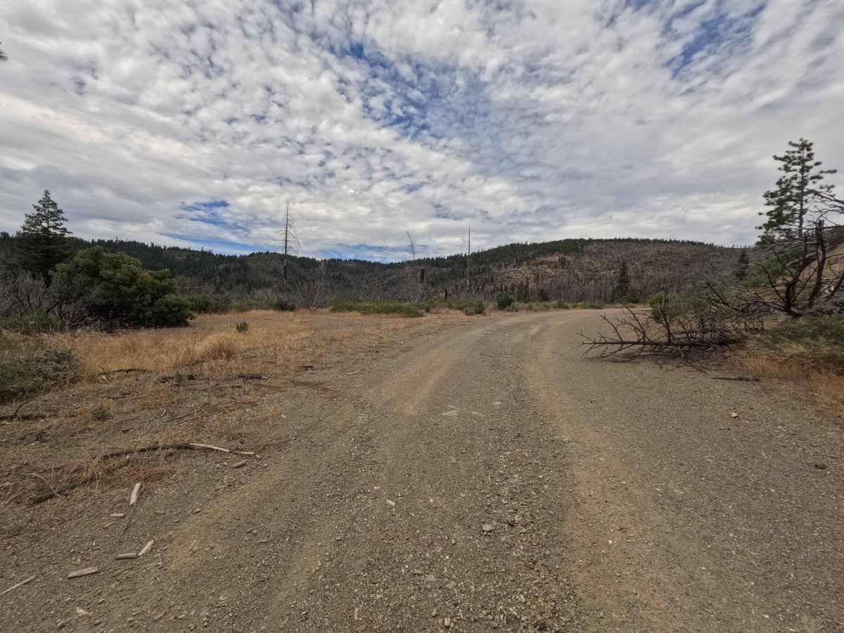
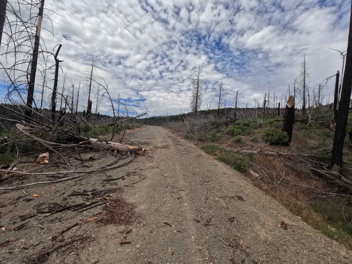
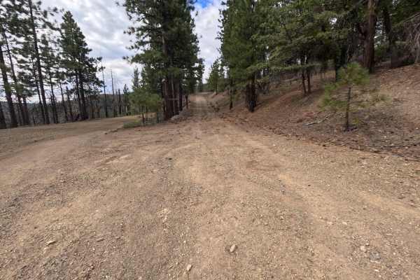
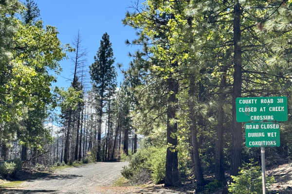
Cedar Ridge - FS 20N24 is a 4.7-mile out-and-back mountain spur in the Mendocino National Forest, accessed directly off Forest Highway M3 or via a connecting spur from M6. Traversing a subalpine landscape actively recovering from the 2020 August Complex Wildfire, the route winds past charred standing timber, fresh brushy growth, and surviving pine stands while providing sweeping, open views down toward Corbin Creek. This route functions as a dead-end branch rather than a through route, attracting visitors seeking secluded dispersed campsites, wildlife viewing opportunities, and peaceful access toward the Corbin Creek area near the Snow Mountain Wilderness. Vibrant purple trumpet wildflowers blanket the roadside during peak bloom, and heavy animal sign makes it a prime corridor for spotting native fauna.
Difficulty
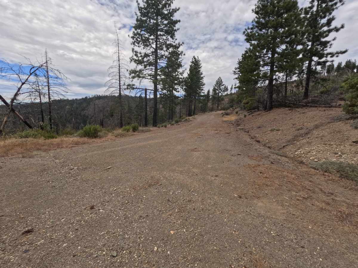
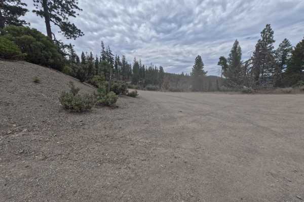
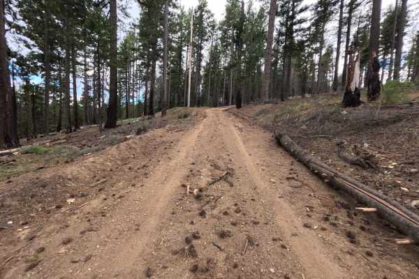
Cedar Ridge - FS 20N24 is rated a Difficulty 1, featuring a wide, gently graded dirt and gravel road surface that remains smooth and easy to travel for most of its length. Early miles offer open passage, but past the 4-mile mark, brush grows closer to the trail and cleared burn debris creates a few narrow squeezes.