Trail Overview
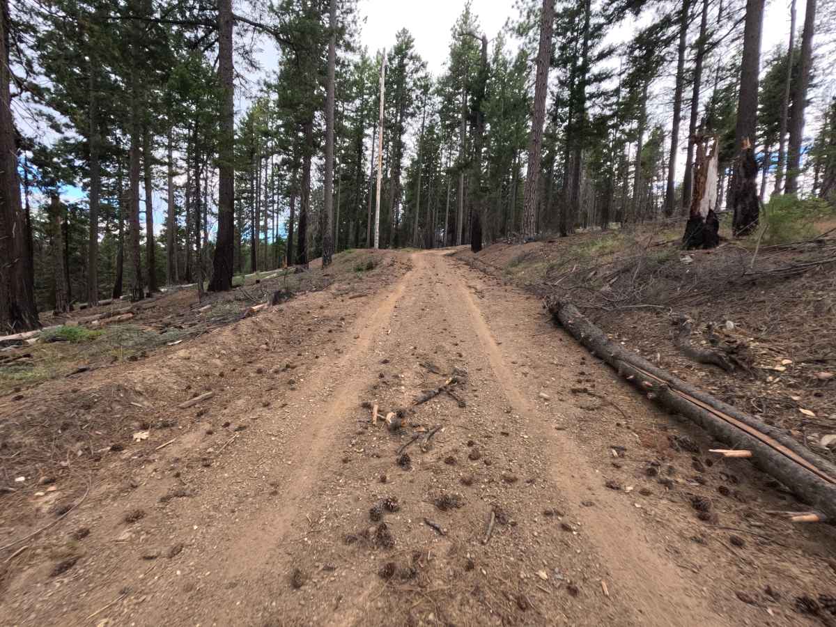
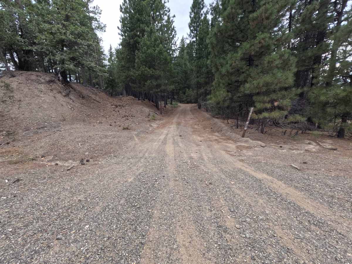
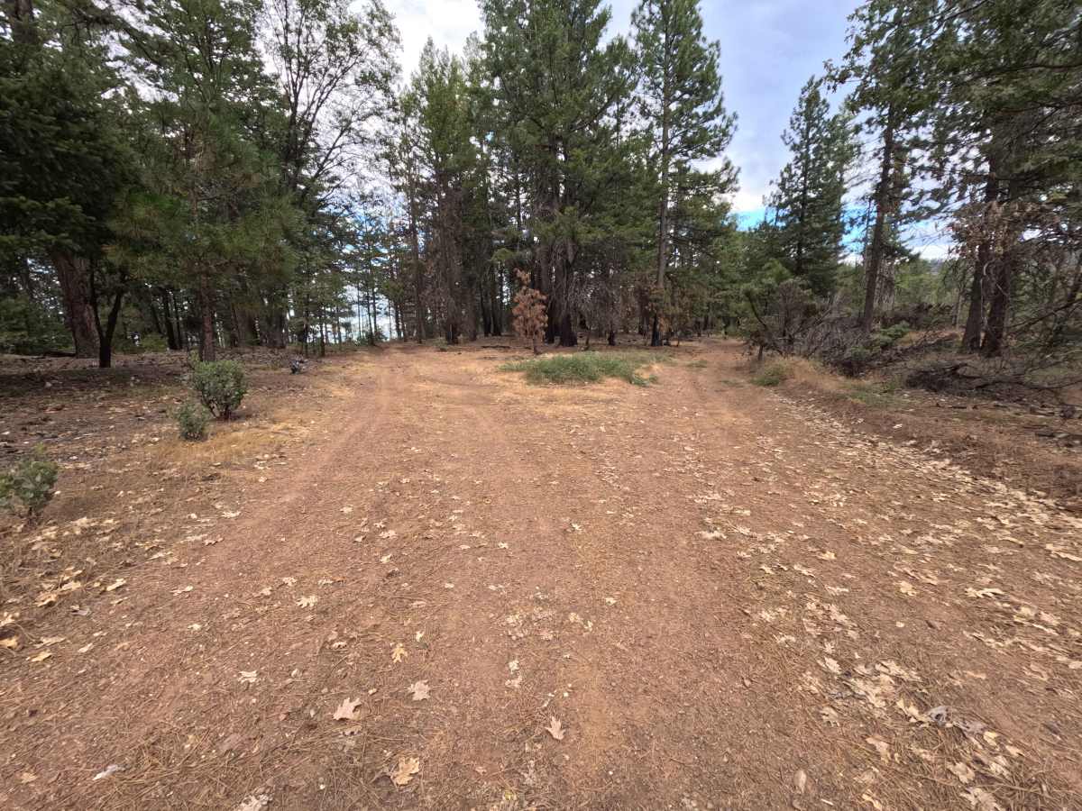
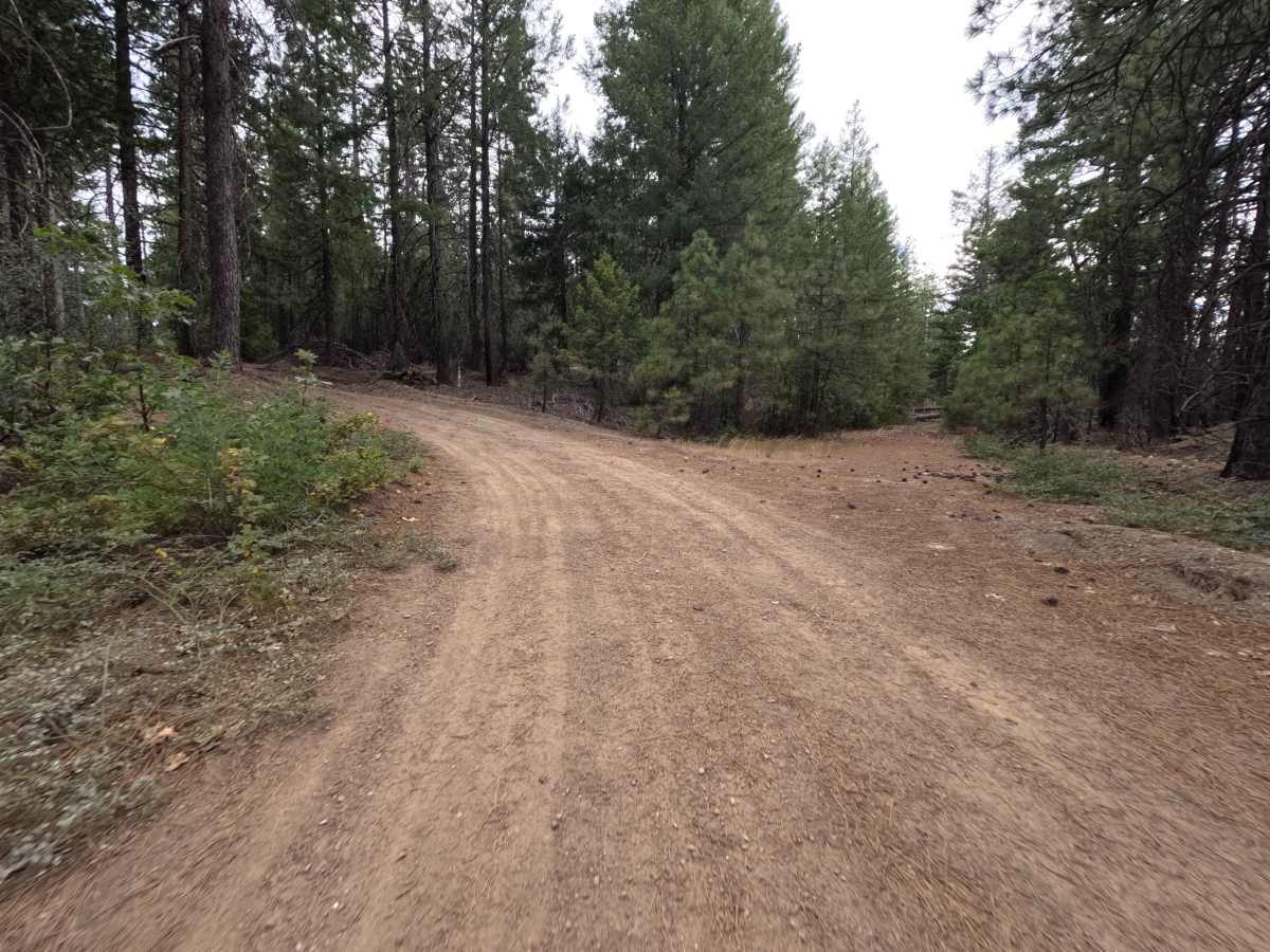
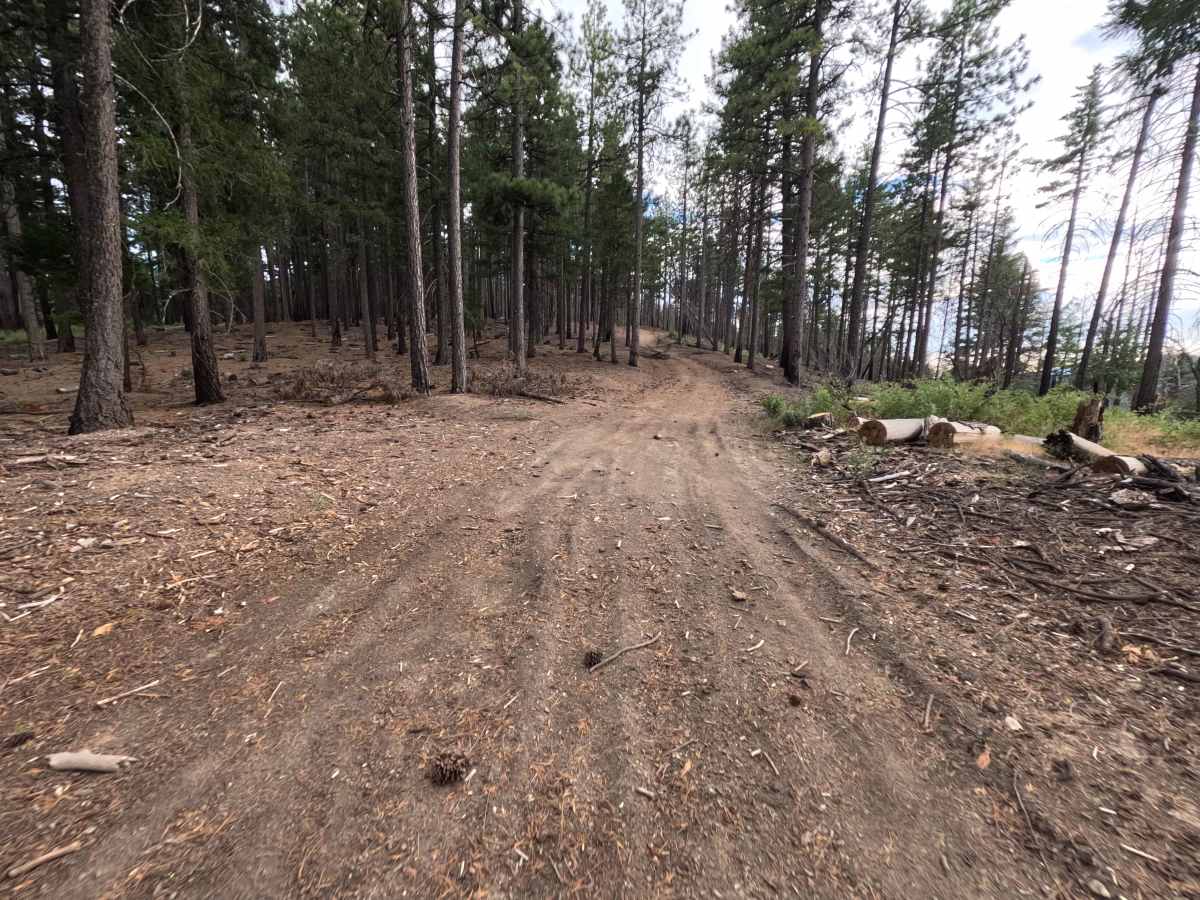
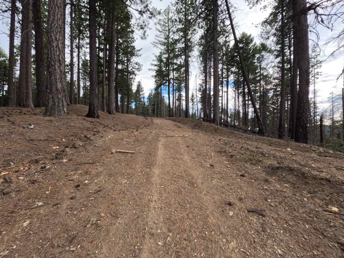
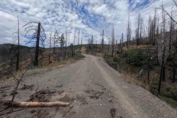
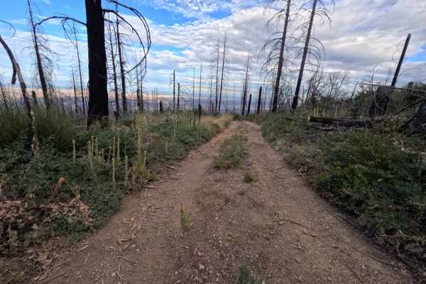
Kern Point - FS 20N55 is an ascending 1.7-mile single-track dirt spur located in Mendocino National Forest, accessed directly off Forest Highway M3 at the Ivory Mill saddle area. Climbing steadily along a pine-dotted ridge line recovering from the 2020 August Complex Wildfire, the route runs nearly parallel to the main M3 road while sitting slightly higher up the mountain slope. Rather than offering passage deeper into the forest hinterlands, this short branch acts as an elevated side loop that drops back down to rejoin the primary forest corridor. Outdoor enthusiasts primarily venture up this pleasant route to access scenic dispersed camping sites large enough for a few vehicles.
Difficulty
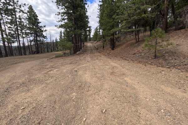
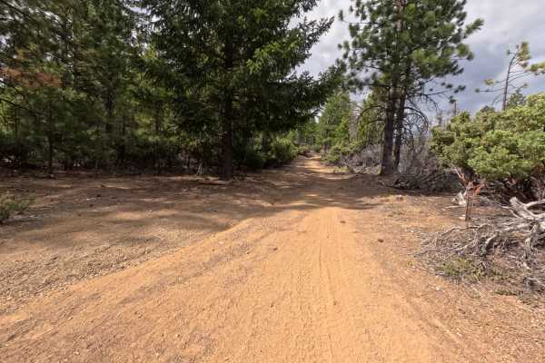
Kern Point - FS 20N55 earns a Difficulty 1 rating, featuring a mild single-track dirt and gravel road surface with gentle natural slopes and zero severe ruts or steep ledges. Early on, the initial turn-off transitions smoothly into the main spur, passing convenient cleared areas for camping before reaching a fork at 1.7 miles. Drivers must take the left option at this junction to merge smoothly back onto the M3.