Trail Overview
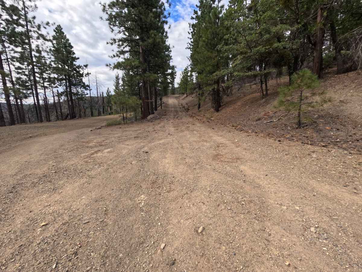
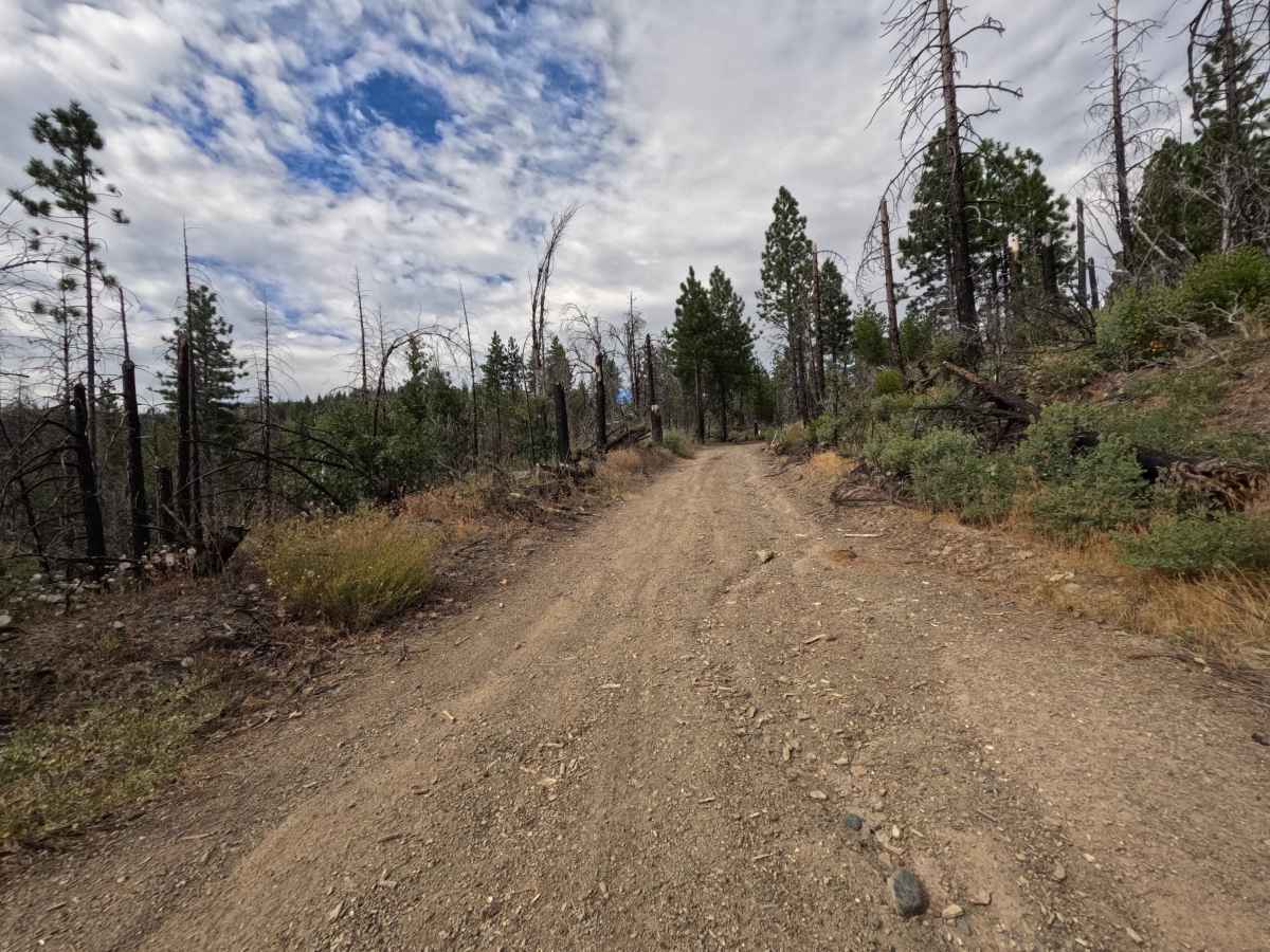
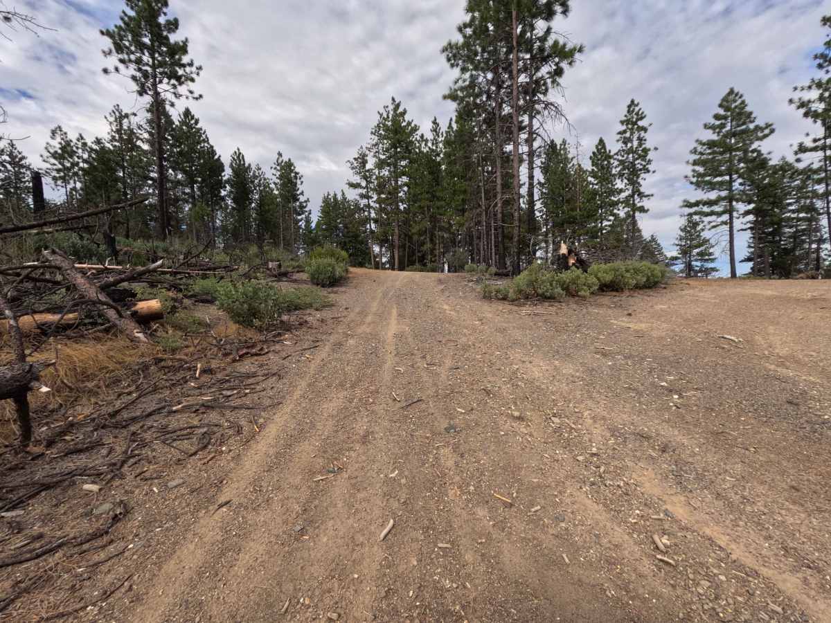
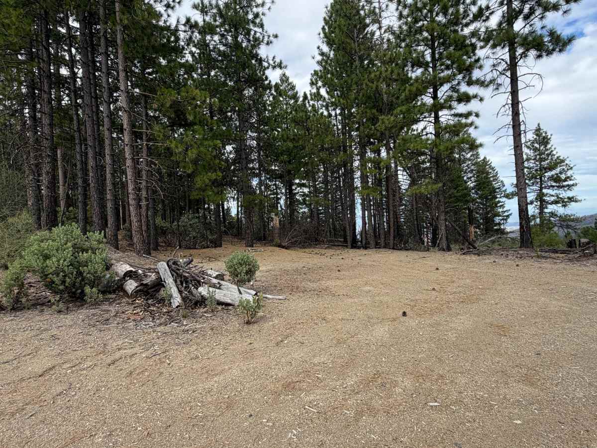
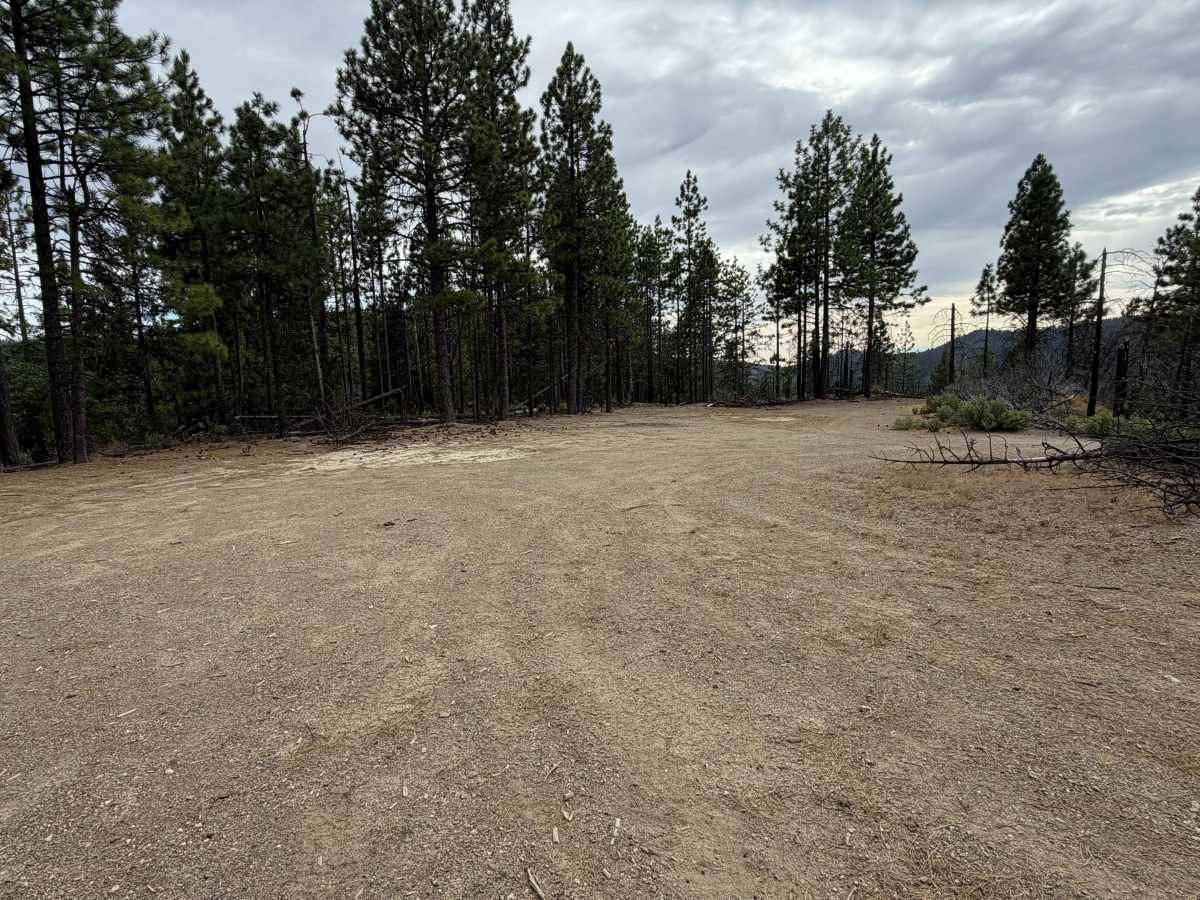
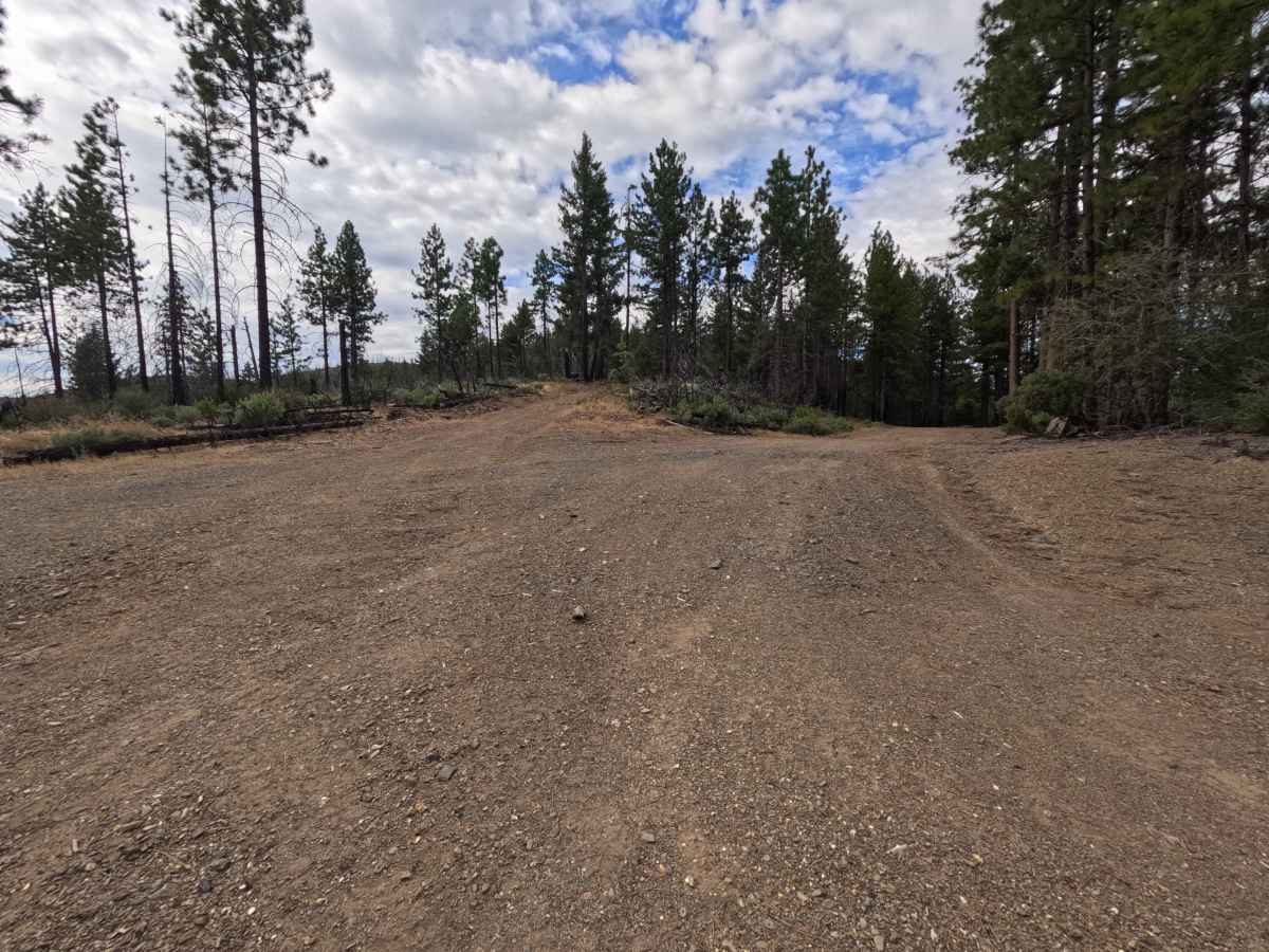
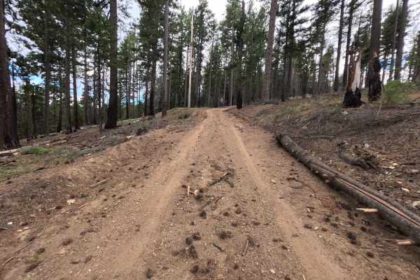
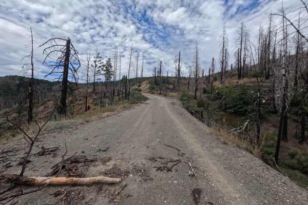
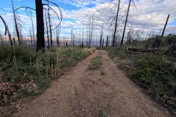
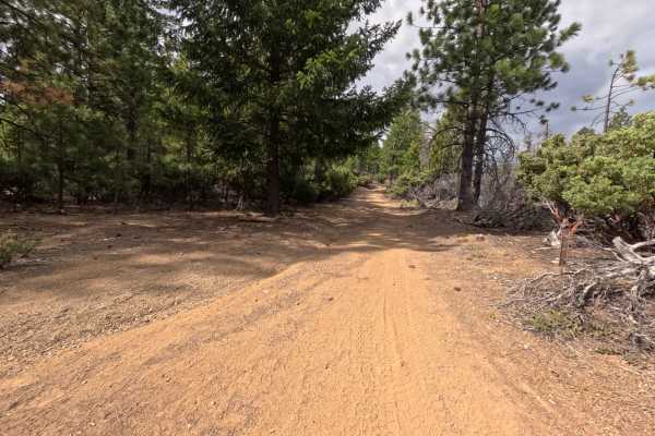
Set within an elevated conifer forest recovering from the 2020 August Complex Fire in the Mendocino National Forest, Ivory Mill Adm - FS 20N45 serves as a scenic ridgeline connector route. Accessed directly off of Forest Highway M3 at Ivory Mill Saddle, this single-lane mountain road climbs continuously uphill to link M3 with Dogtown Road along the high ridge. Outdoor enthusiasts and camping groups frequently travel this path to utilize an expansive primitive dispersed camping area located at the first turnoff—a broad clearing featuring fire rings and ample flat ground capable of housing up to 20 vehicles. The driving surface consists of a firm single-track dirt road lined with loose shale gravel, pine litter, and standing snags, earning a gentle grade 2 difficulty rating. Departing the main saddle and passing the initial camping area, the track climbs directly up the mountain, offering sweeping westward vistas across the surrounding valleys from open cliffside stretches. Near 0.8 miles, a right-hand spur is rendered impassable by downed timber, so drivers should remain on the primary track as it flattens out near 1.0 mile at the Dogtown Road intersection.
Difficulty
Earning a gentle grade 2 difficulty rating, this single-lane mountain road presents a predictable dirt and loose gravel surface with a steady, moderate incline. High ground clearance and four-wheel drive are not necessary during dry seasonal weather. Drivers should maintain smooth momentum on the steeper uphill pitch leading toward the ridge, stay centered on the established track, and ignore the blocked right-hand fork at 0.8 miles where fallen trees span the roadway.