Trail Overview
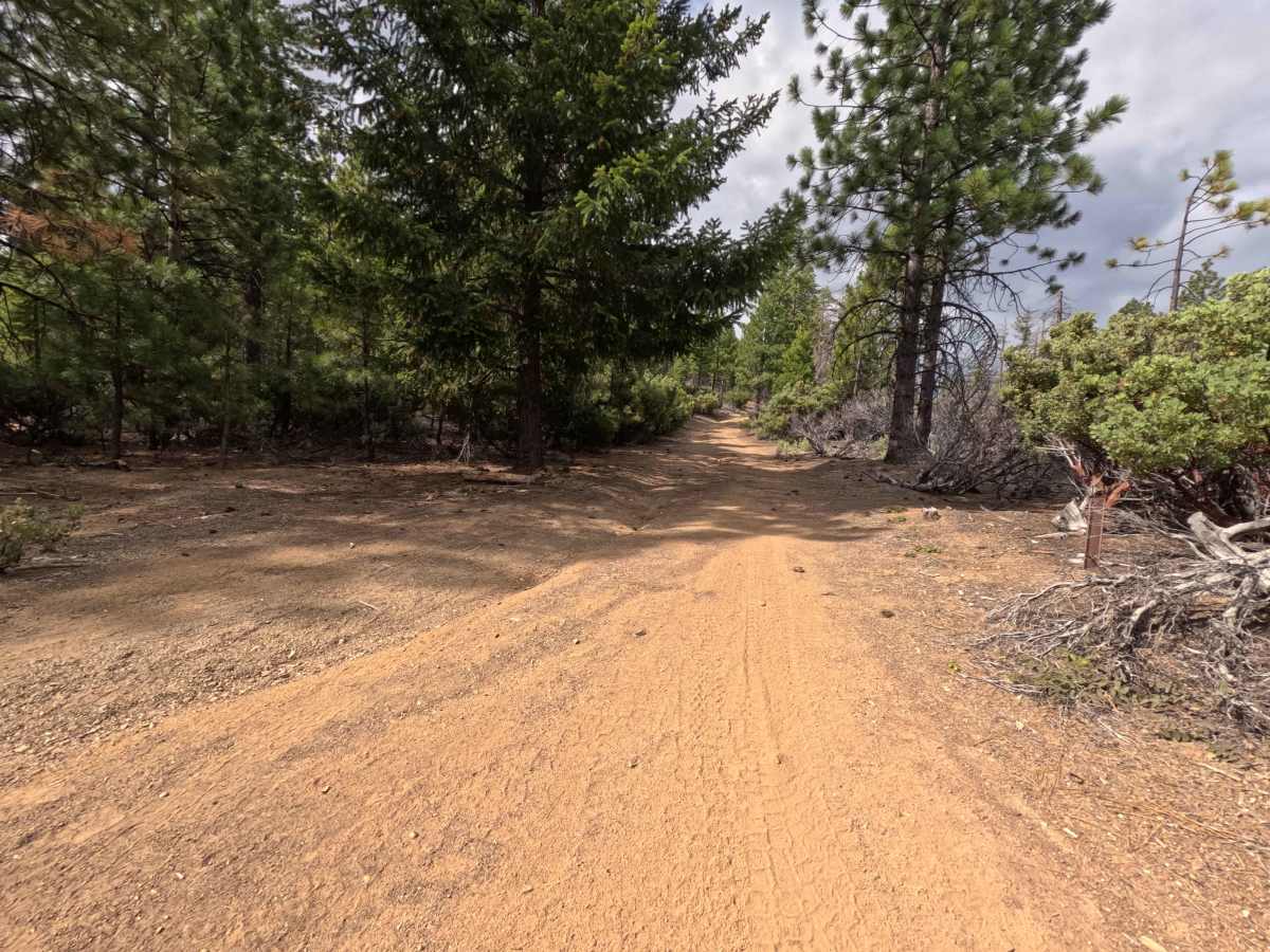
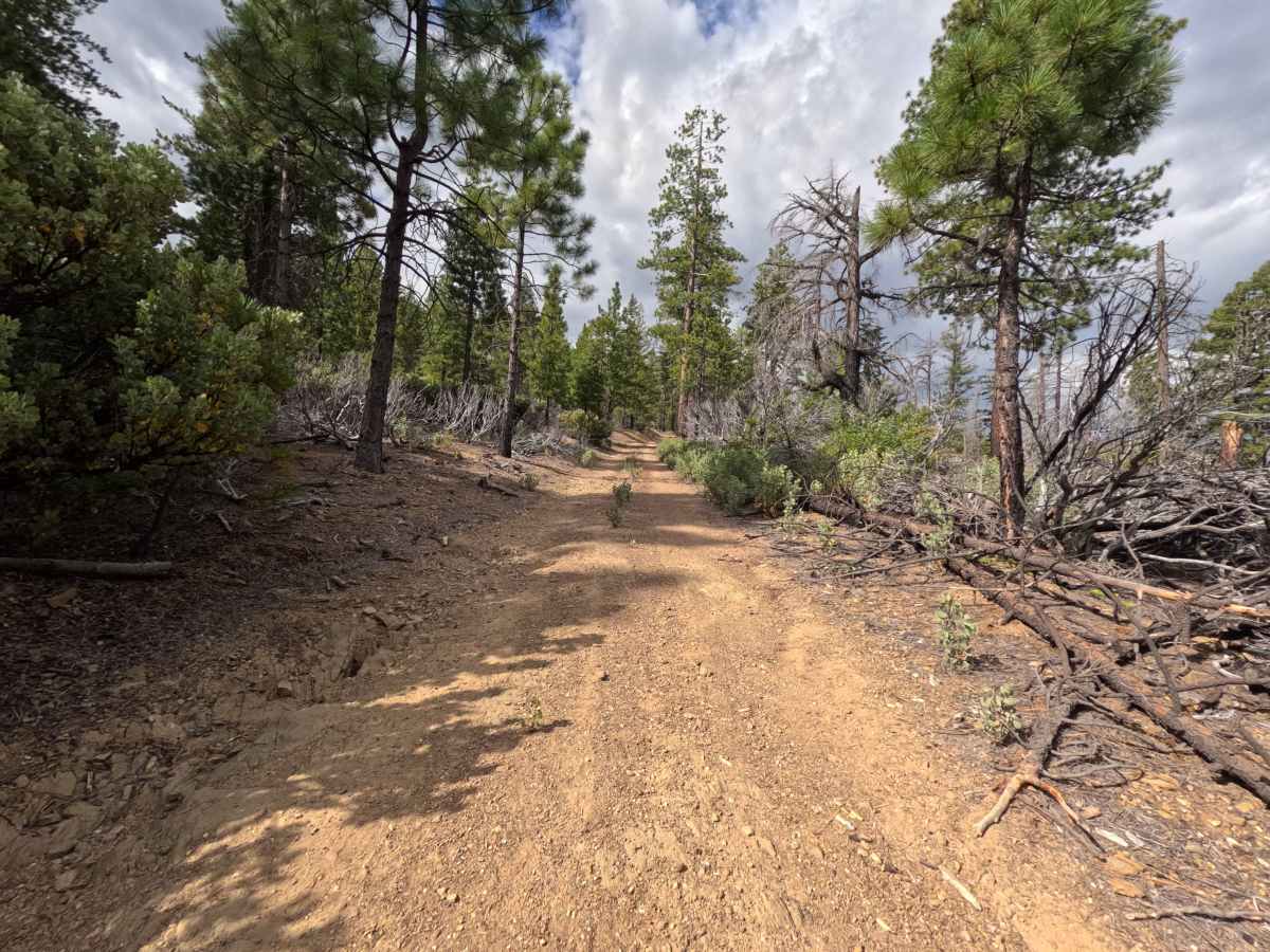
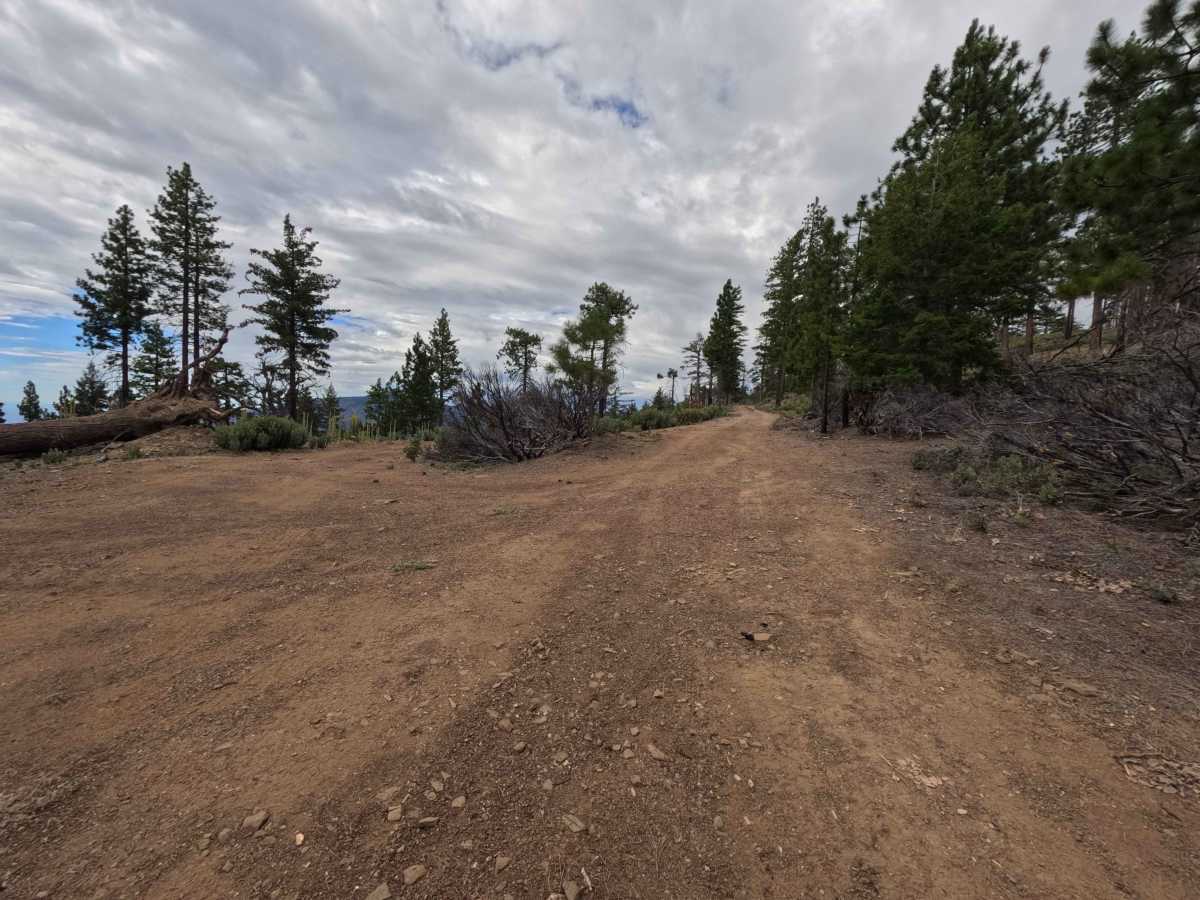
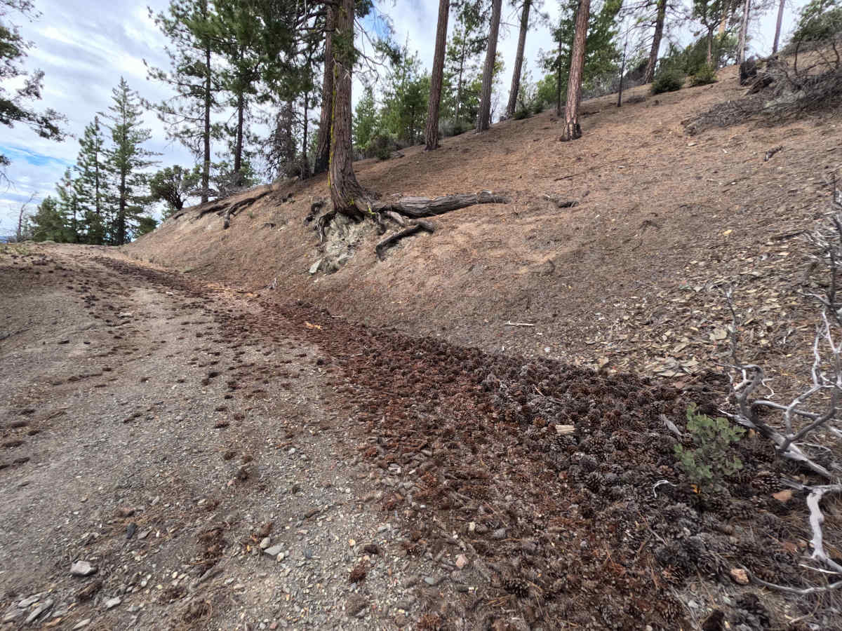
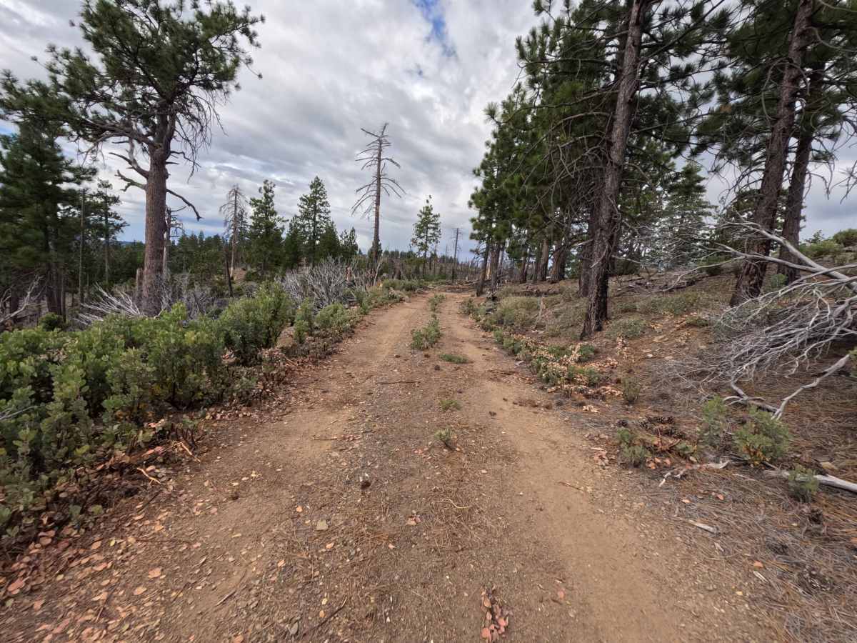
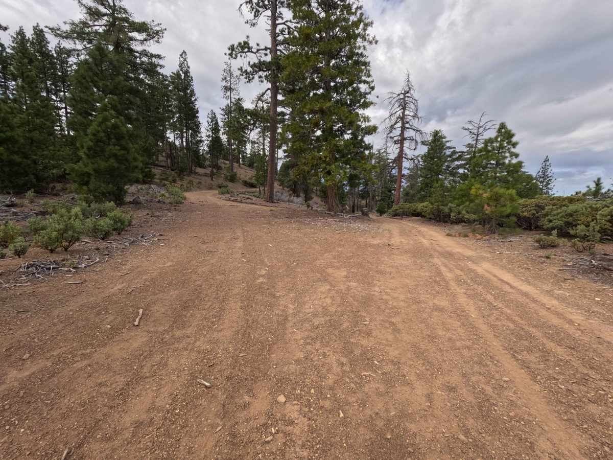
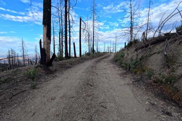
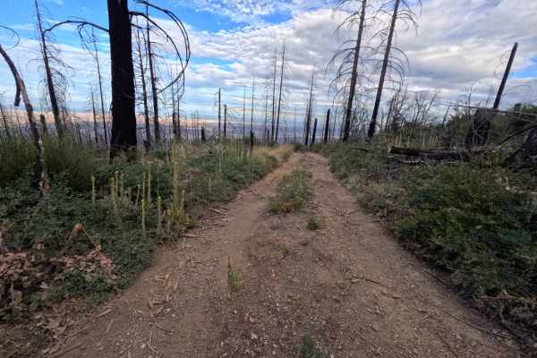
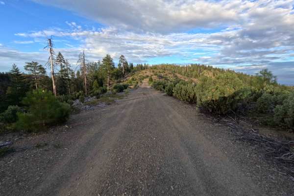
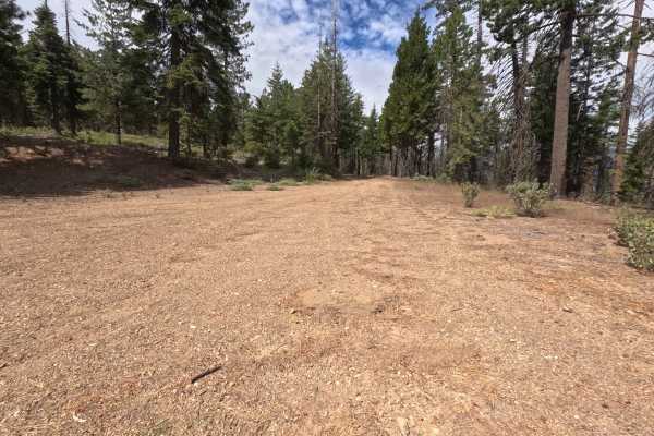
Set within a scenic high-country pine forest with manzanita brush understory in the Mendocino National Forest, Felkner - FS 19N06 provides an enjoyable mountain ridge drive. Accessed directly off of Forest Highway M3, this 4.8-mile single-lane dirt spur climbs up to Felkner Ridge, acting as a connecting path deeper into the surrounding forest road network. Outdoor enthusiasts and campers frequently travel this route to locate prime dispersed camping sites, take in sweeping valley vistas from the crest, or to enjoy clear night skies ideal for stargazing. The driving surface consists of a well-traveled single-track dirt road layered with pine needles and minor surface ruts, earning an accessible grade 2 difficulty rating. Departing M3, the track winds smoothly up the mountain contours to reach the crest, where panoramic pullouts appear. Beyond 4.3 miles, the path gently descends and narrows as heavy brush encroaches on the roadway, resulting in unavoidable paint pinstriping before the end.
Difficulty
Earning a grade 2 difficulty rating, this single-lane dirt spur features a firm, well-graded surface free of steep rock ledges, deep mud holes, or severe washouts. Standard stock vehicles can easily traverse the first 4.3 miles up to the ridge crest by maintaining a steady speed and picking clean lines along smooth dirt stretches. The main hazard occurs past the 4.3-mile mark, where thick side brush and overgrown manzanita tightly hug the roadway, causing unavoidable scratch hazards to vehicle sides. Drivers seeking to protect paint finish should utilize the spacious ridge turnouts to turn around.

 Offroad