Trail Overview
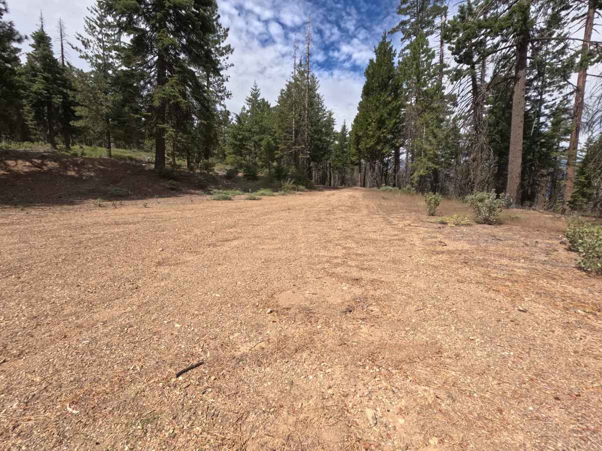
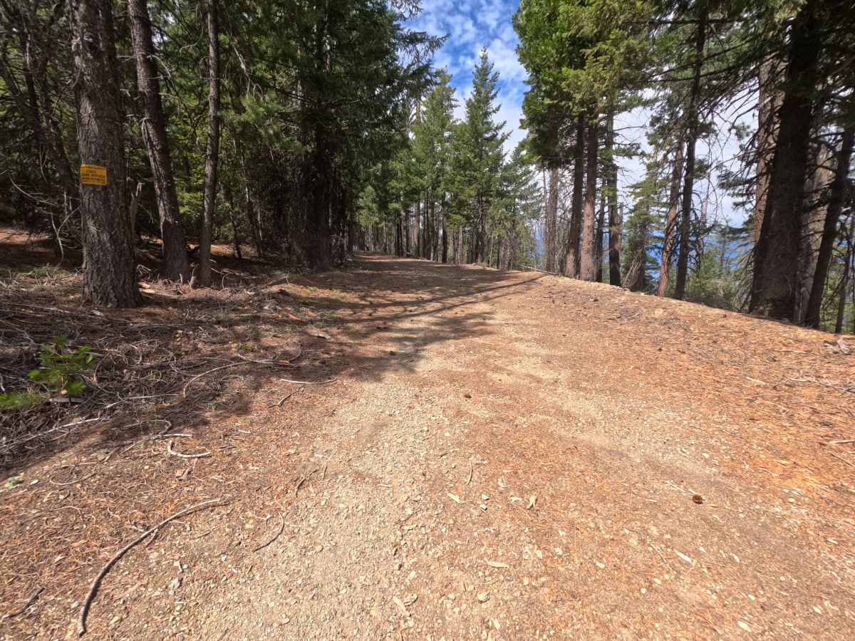
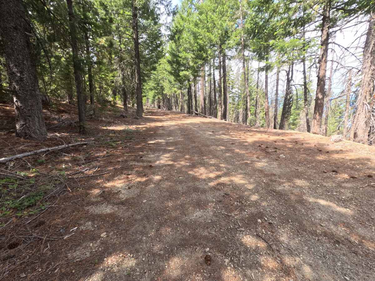
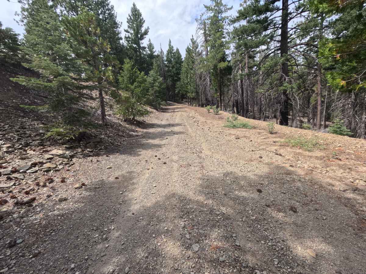
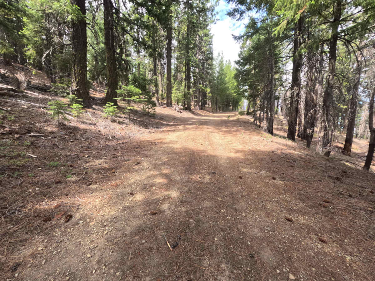
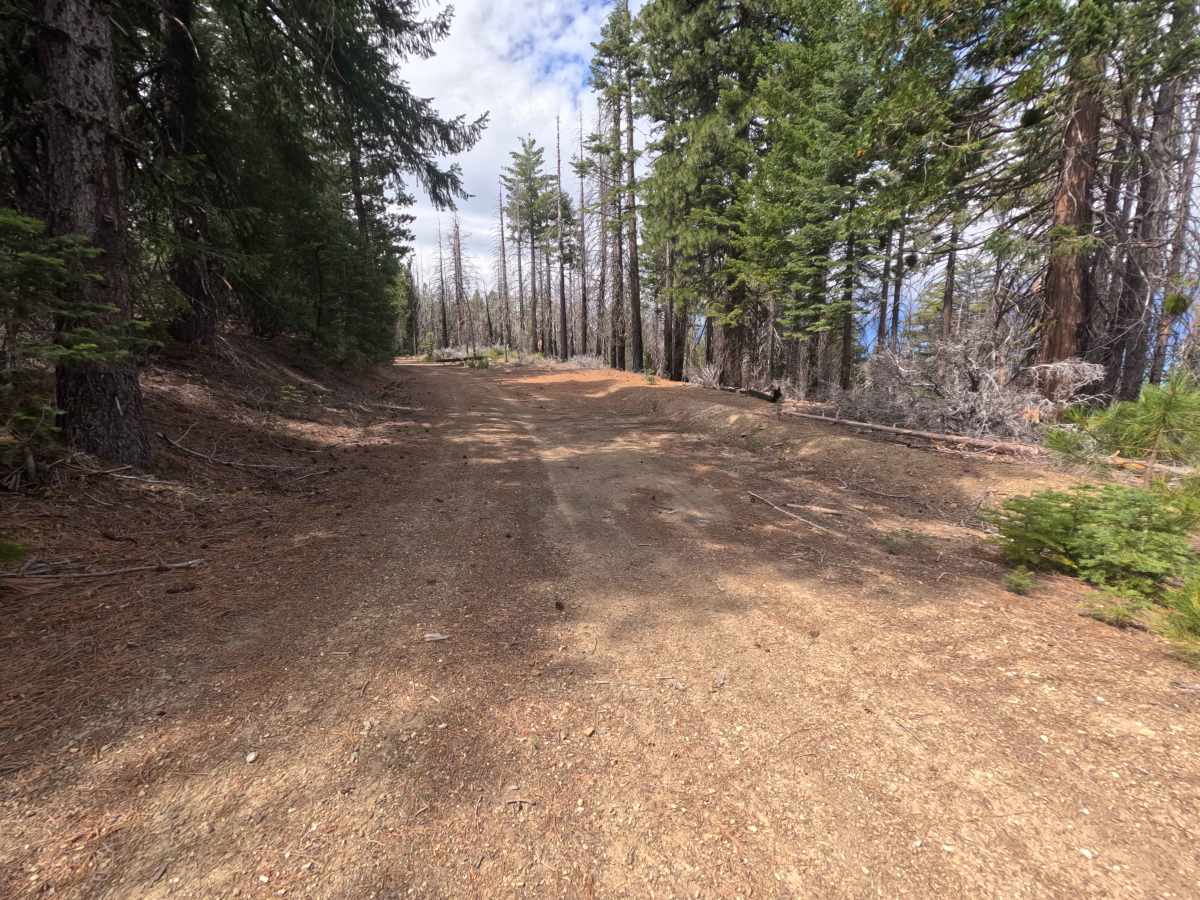
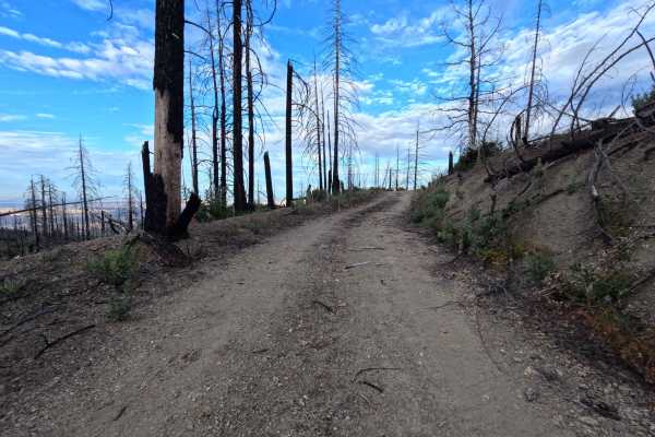
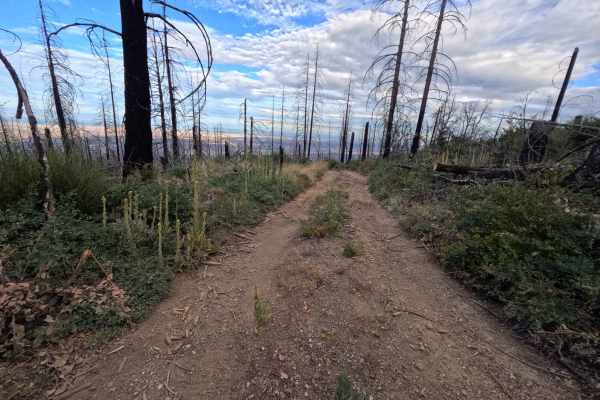
Branching directly off of Forest Highway M3, Brushy Camp Ridge - FS 19N02 is a peaceful 1.1-mile out-and-back dirt spur in the Mendocino National Forest. The surrounding environment consists of a mixed pine woodland and chaparral understory recovering from the 2020 Pine Kop and 2018 Ranch wildfires, offering pleasant ridge-top views through standing timber snags. Public land visitors travel this quiet spur primarily for secluded primitive dispersed camping or for relaxed backcountry exploration off the main M3 corridor. The driving surface features a nicely graded, fairly wide single-lane dirt track sprinkled with pine needles and loose gravel, earning an easy Grade 1 difficulty rating. Departing M3, the route gently ascends along the ridge shoulder, passing a prime roadside camping turnout at 0.4 miles. The track remains smooth and straightforward until reaching a spacious turnaround clearing at 1.0 miles, situated just 0.1 miles before multiple large fallen trees completely block further vehicle passage at the 1.1-mile dead end.
Difficulty
Earning an easy Grade 1 difficulty rating, this single-lane dirt spur presents a smooth, well-graded surface free of technical obstacles, steep inclines, deep ruts, or clearance-testing boulders. Standard stock vehicles can effortlessly traverse the entire route during dry seasonal conditions. Drivers should simply maintain a slow, steady speed, keep tires centered along the firm dirt path, and utilize the cleared turnaround area at 1.0 miles before reaching the log blockade at the 1.1-mile mark.