Trail Overview
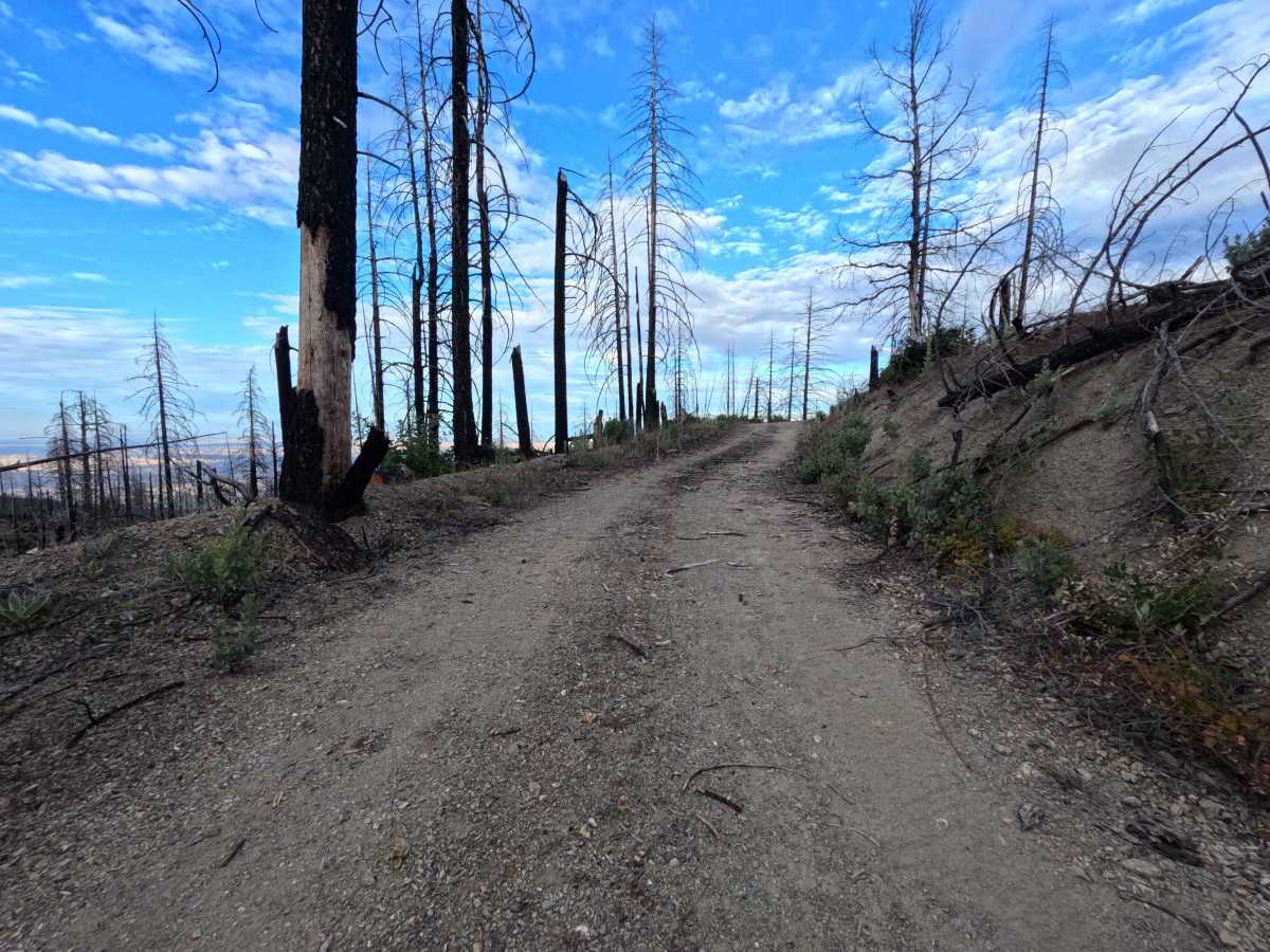
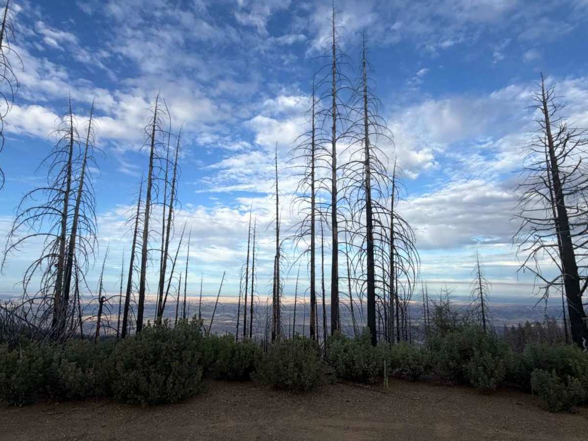
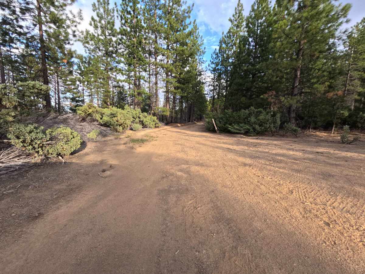
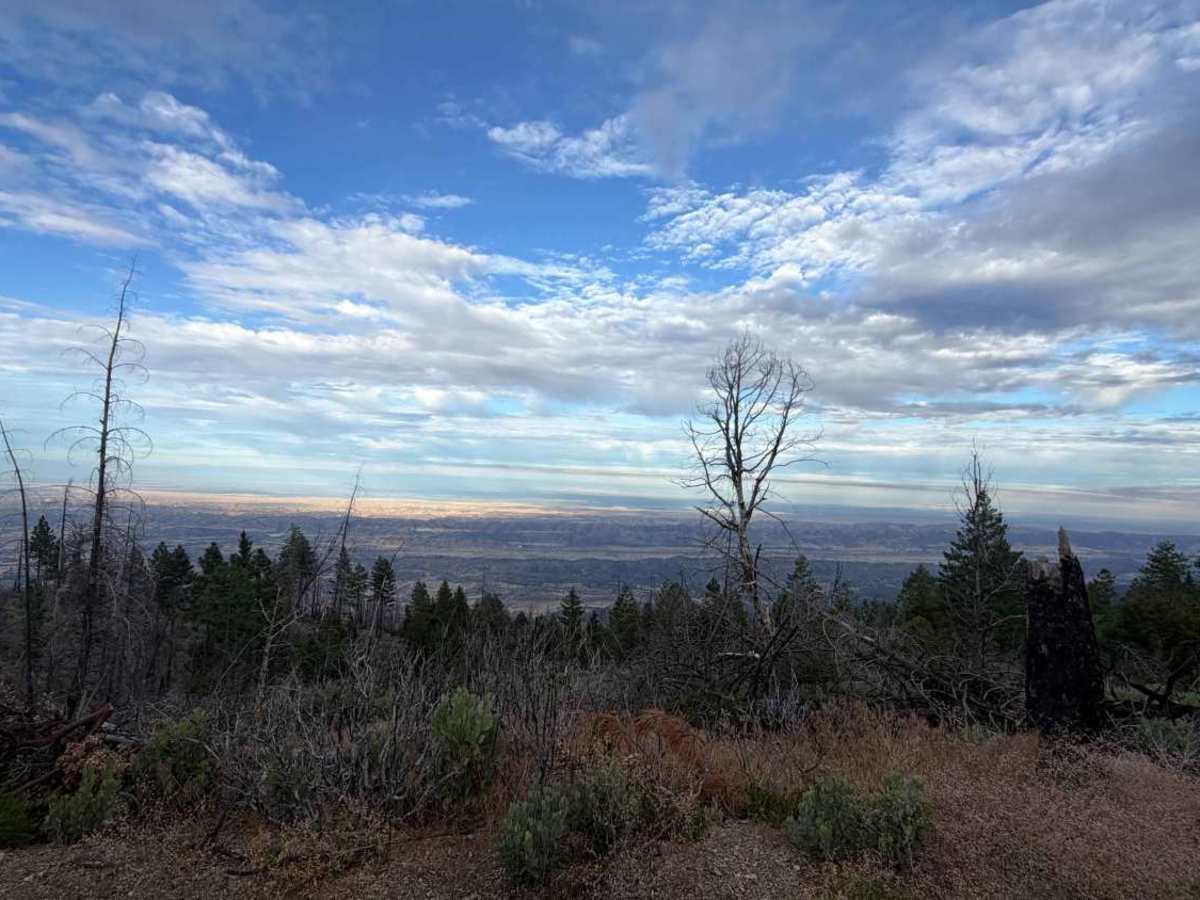
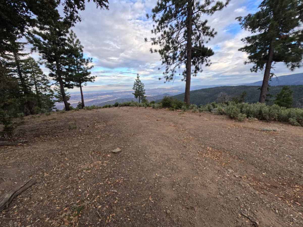
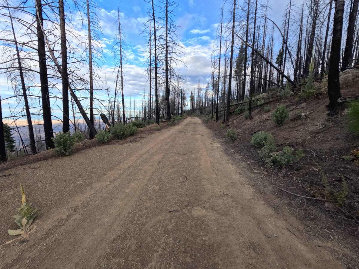
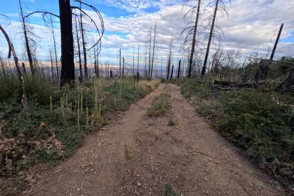
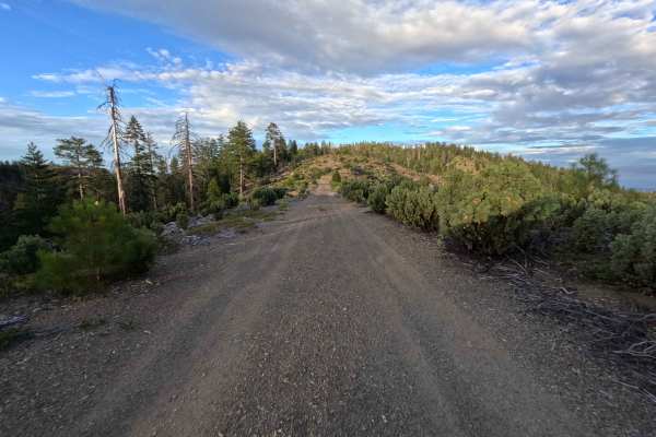
Rain Gauge - FS 19N71 turns off Forest Highway M3, offering an inviting journey along the sloped ridgelines of Mendocino National Forest. Operating as an out-and-back spur, this wide single-track dirt road gently winds along the mountainside before concluding at 1.2-miles where it meets an intersection with a forest road that no longer appears to be traveled. The route traverses a landscape actively recovering from the 2020 August Complex Wildfire, where entering the burn area at mile 0.3 unveils expansive, unhindered panoramas of the southern and eastern valley floors. Outdoor lovers primarily venture down this pleasant path to catch breathtaking sunset views, enjoy an elevated midday lunch spot, or take advantage of the scenic photo opportunities along the exposed ridge.
Difficulty
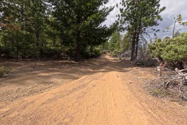
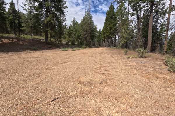
Rain Gauge - FS 19N71 earns a Difficulty 1 rating, featuring a well-maintained, wide single-track dirt and gravel surface that remains gentle and forgiving throughout. The road surface is smooth and free of high-clearance obstacles, severe ruts, or steep ledges, making for effortless traveling all the way to the wide turnaround point at the road's end.