Trail Overview
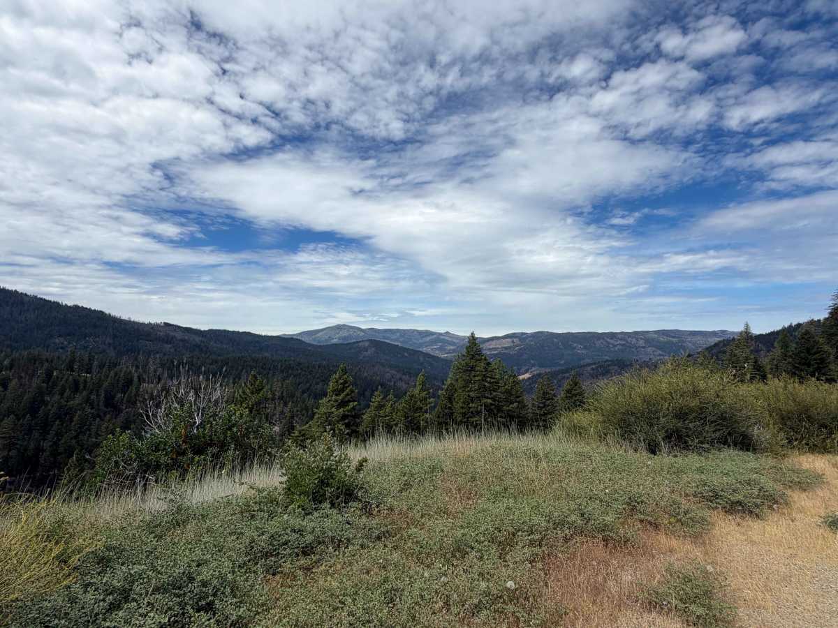
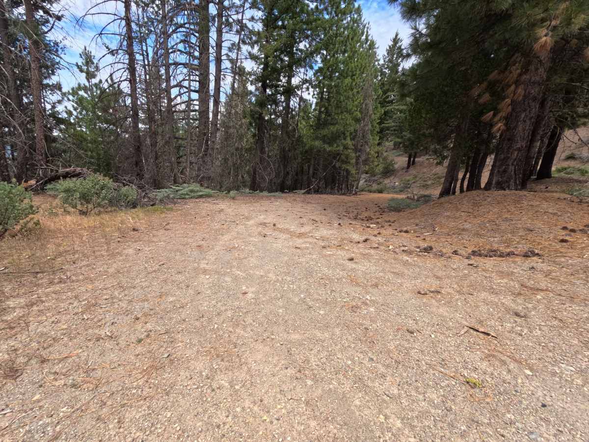
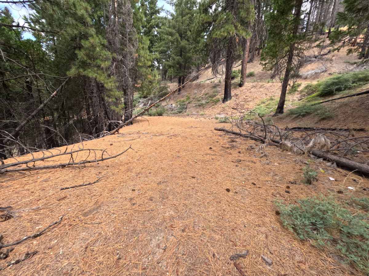
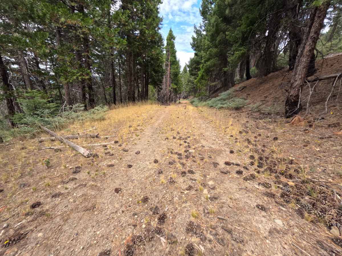
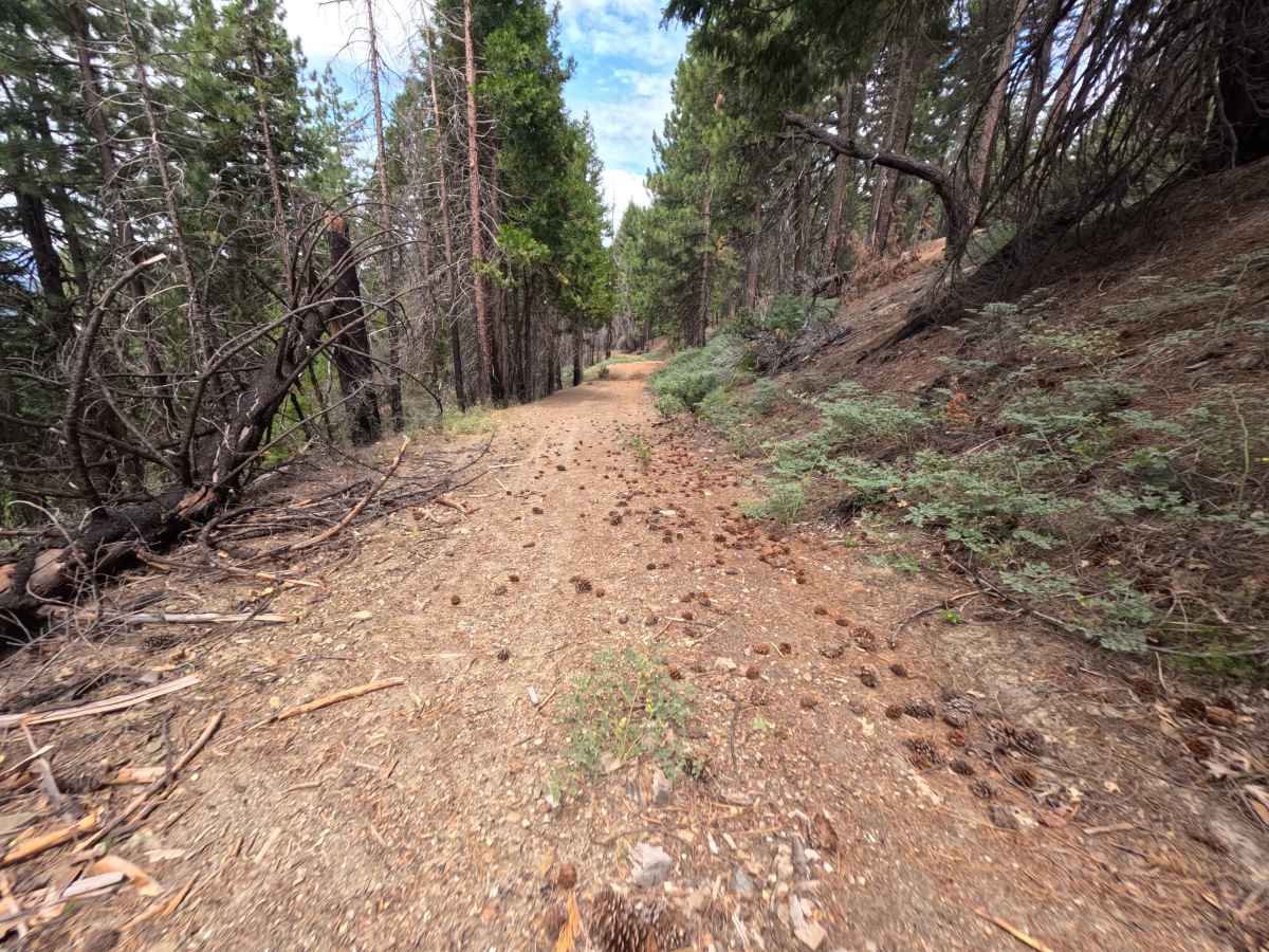
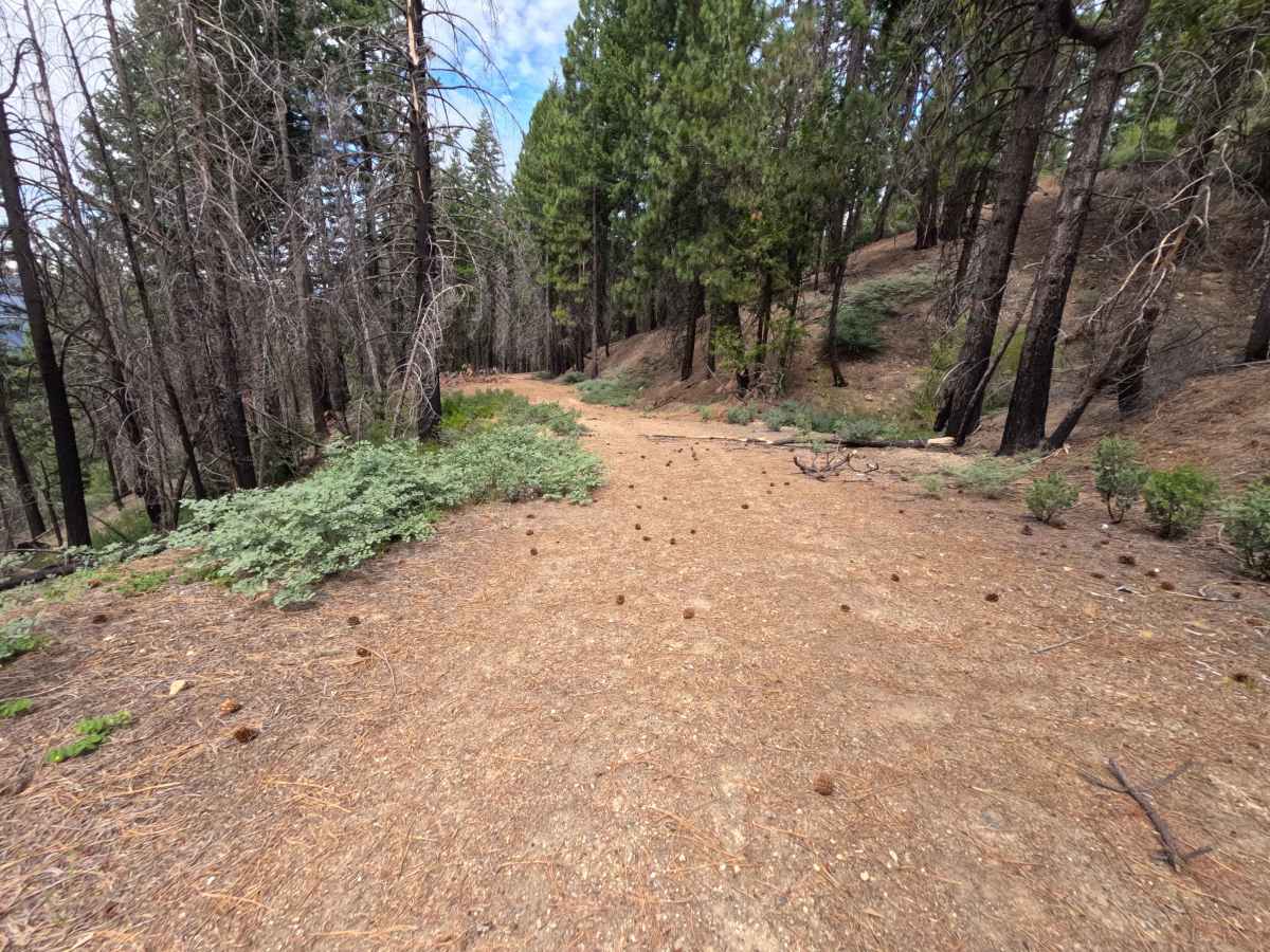
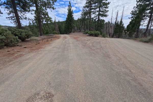
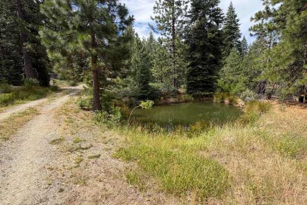
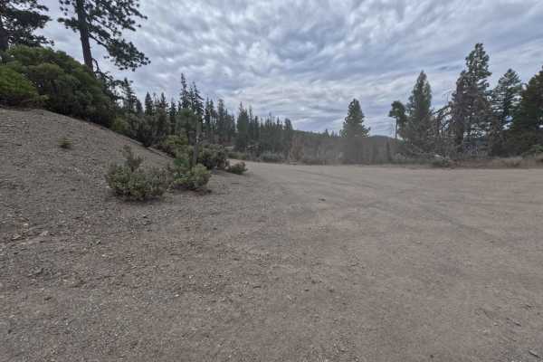
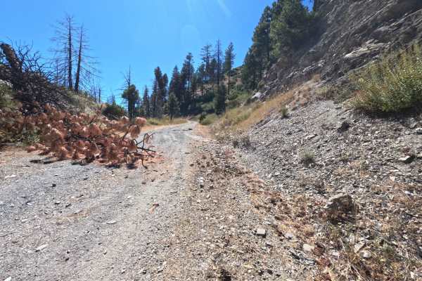
Accessed directly off Forest Highway M6 and Kneecap Tie Road, Estell Creek - FS 20N13 is a peaceful 0.6-mile single-lane dirt out-and-back spur in the Mendocino National Forest. Situated within a quiet coniferous forest recovering from the 2020 August Complex wildfire, the surrounding landscape features mixed standing pine timber, regrowing understory brush, and rich wildlife habitat along the Estell Creek drainage. The driving surface consists of a narrow single-track dirt road lightly covered in pine needles and fine gravel, earning an easy Grade 1 difficulty rating. Departing the main thoroughfare, the track gently descends along the mountain slope toward the creek valley below. At 0.5 miles, a wide roadside turnout opens up to sweeping views across the northern valley basin. Continuing past this viewpoint is not recommended, as the path narrows and encounters a downed tree spanning completely across the roadbed just past 0.6 miles, forcing a turnaround. Public land visitors primarily explore this secluded spur to take in scenic mountain vistas, view native wildlife, or enjoy quiet high-country solitude away from heavily traveled routes.
Difficulty
Earning an easy Grade 1 difficulty rating, this 0.6-mile single-track spur presents a smooth, gently descending dirt surface free of technical obstacles. Deep ruts, steep rock ledges, water bars, and clearance-testing boulders are entirely absent along the main route. Standard stock vehicles can effortlessly navigate the track during open seasonal periods by maintaining a slow, controlled descent. Drivers should turn around at the spacious 0.5-mile viewpoint turnout, as a large fallen log permanently blocks further vehicle passage just past the 0.6-mile mark.

 Offroad