Trail Overview
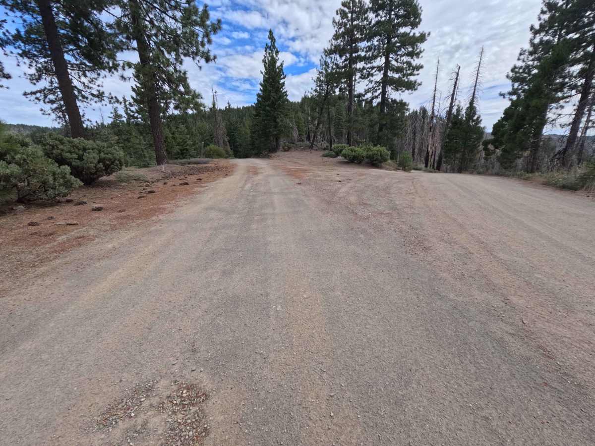
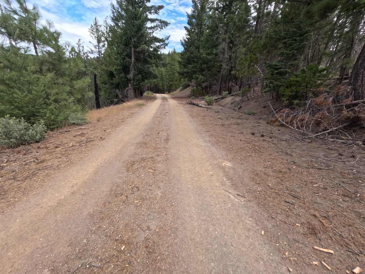
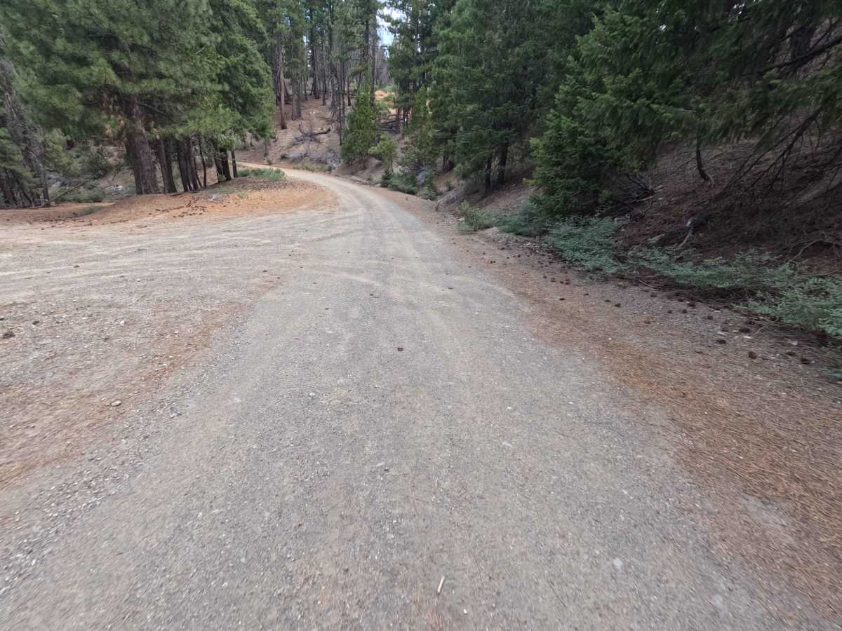
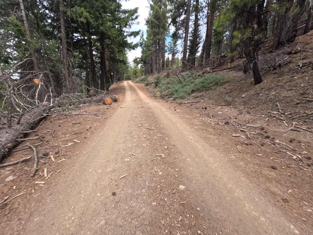
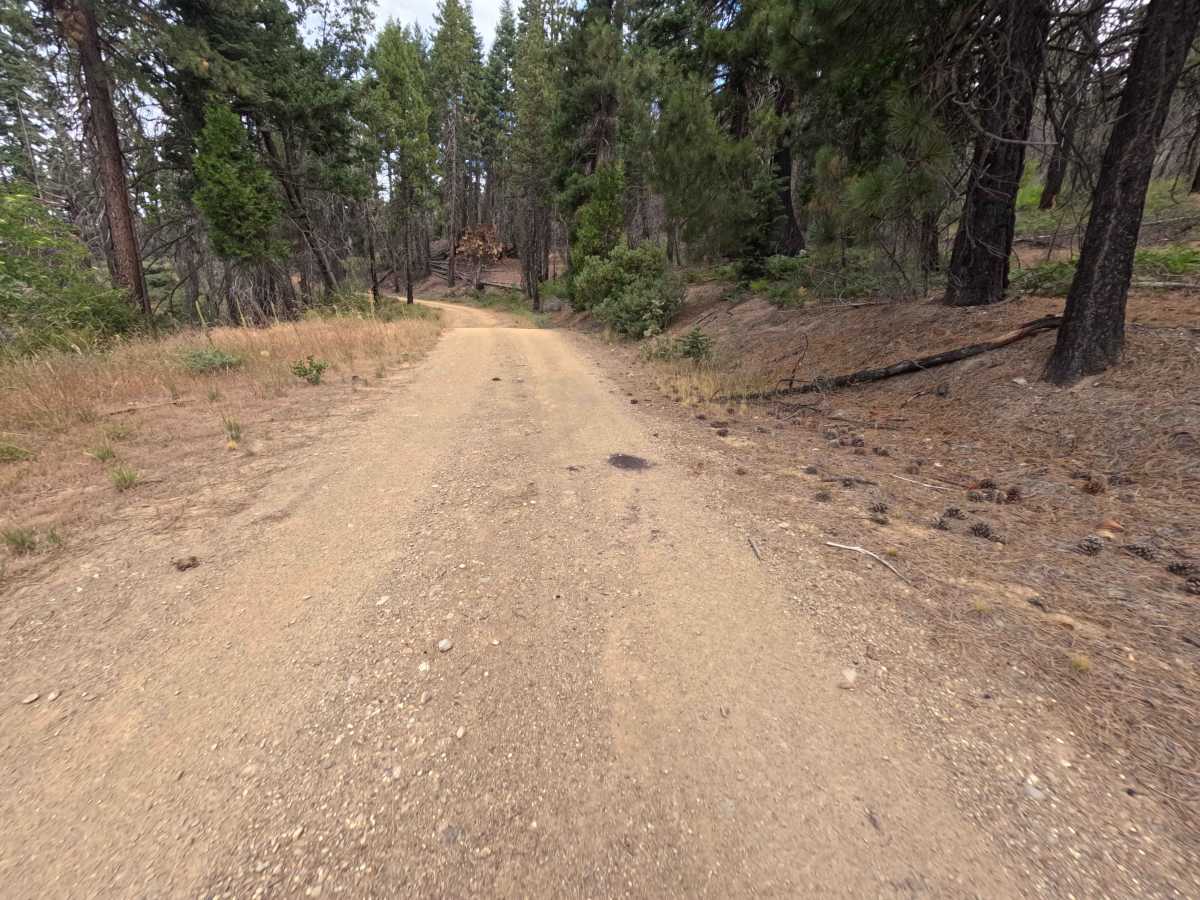
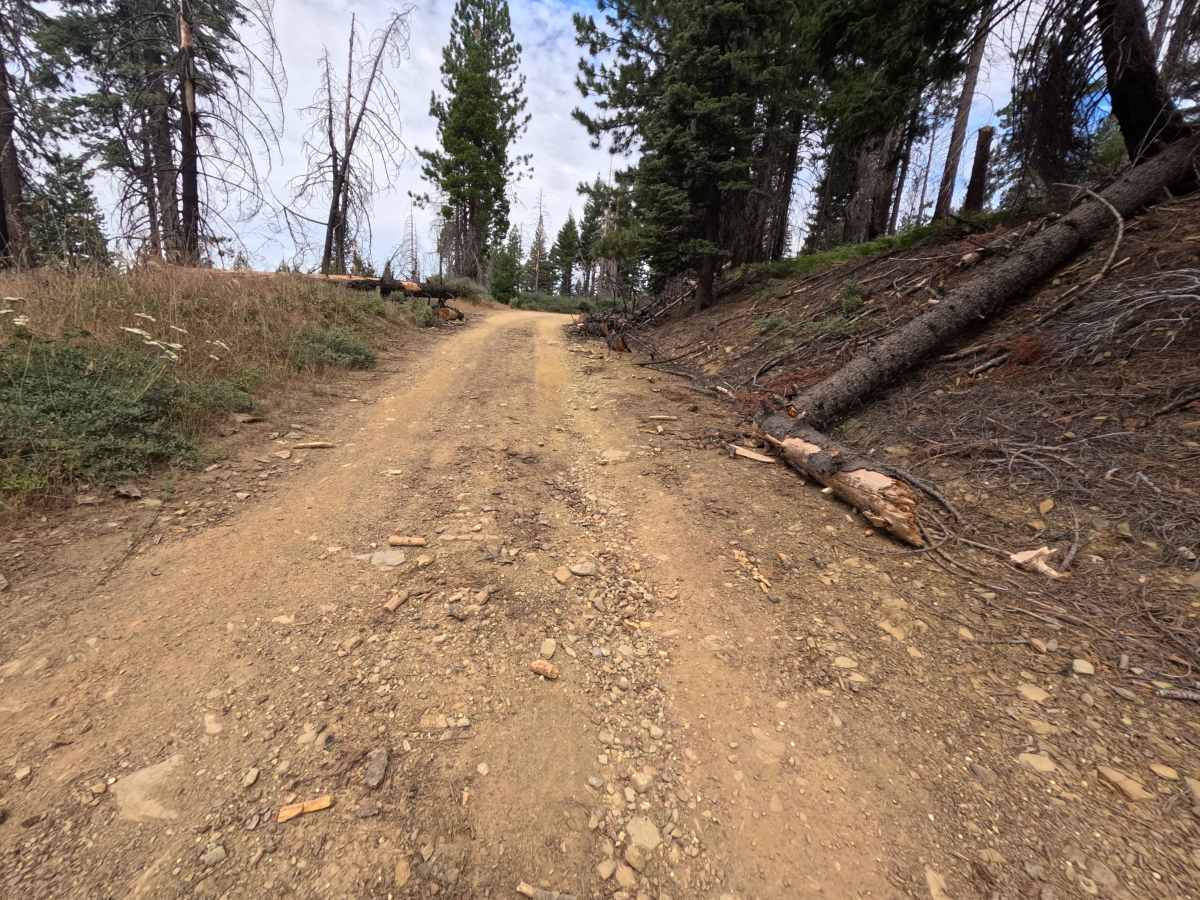
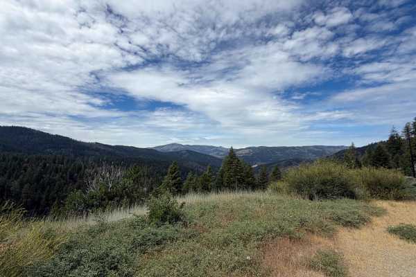
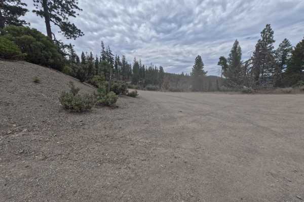
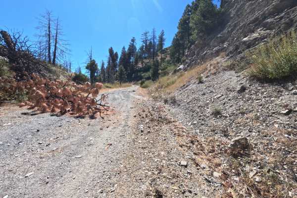
Connecting directly off of Forest Highway M6, Kneecap Tie - FS 20N89 is an inviting 1.5-mile mountain route providing convenient throughput deeper into the forest toward Forest Road 311 and the Bearwallow Ridge area. Set within a high-elevation coniferous forest recovering from the 2020 August Complex wildfire in the Mendocino National Forest, the landscape showcases regrowing pine timber, chaparral brush, and open vistas looking northwest. Public land recreators utilize this link to access remote ridge spurs, explore scenic backcountry terrain, or view seasonal wildflower displays along the creek bed. The driving surface consists of a well-maintained, wide single-track gravel road that climbs smoothly and transitions into firm dirt, earning an accessible Grade 2 difficulty rating. Departing M6, the path ascends gentle mountain contours with minimal elevation changes. At 1.2 miles, the trail crosses a shallow seasonal stream corridor often adorned with vibrant orange tiger lilies. A single manageable rut appears just prior to 1.5 miles, where the route terminates at an intersection with Forest Road 311 and several decommissioned forest spurs.
Difficulty
Earning an accessible Grade 2 difficulty rating, this 1.5-mile single-lane tie road features a smooth gravel base that turns into firm, well-graded dirt. Technical obstacles, steep ledges, deep mud holes, and severe washouts are absent along the entire climb. A single sharp rut located near the 1.5-mile terminus presents a minor ground-clearance hazard, but cautious line selection allows standard stock vehicles to pass easily without risk of underbody contact.