Trail Overview
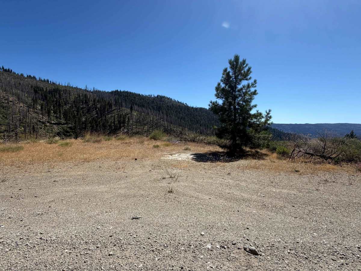
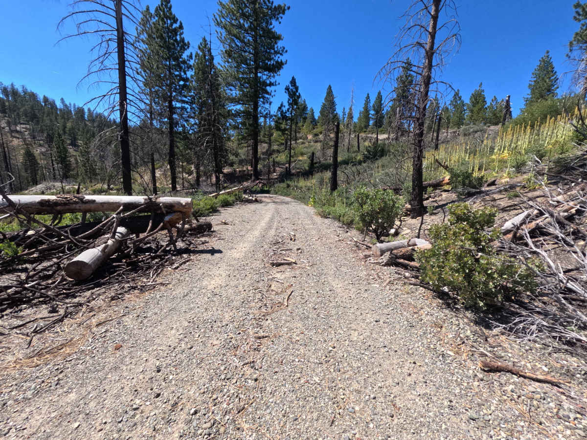
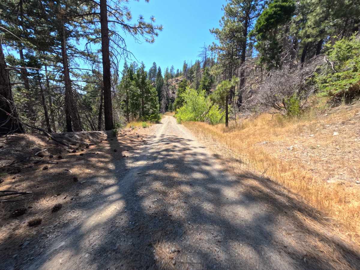
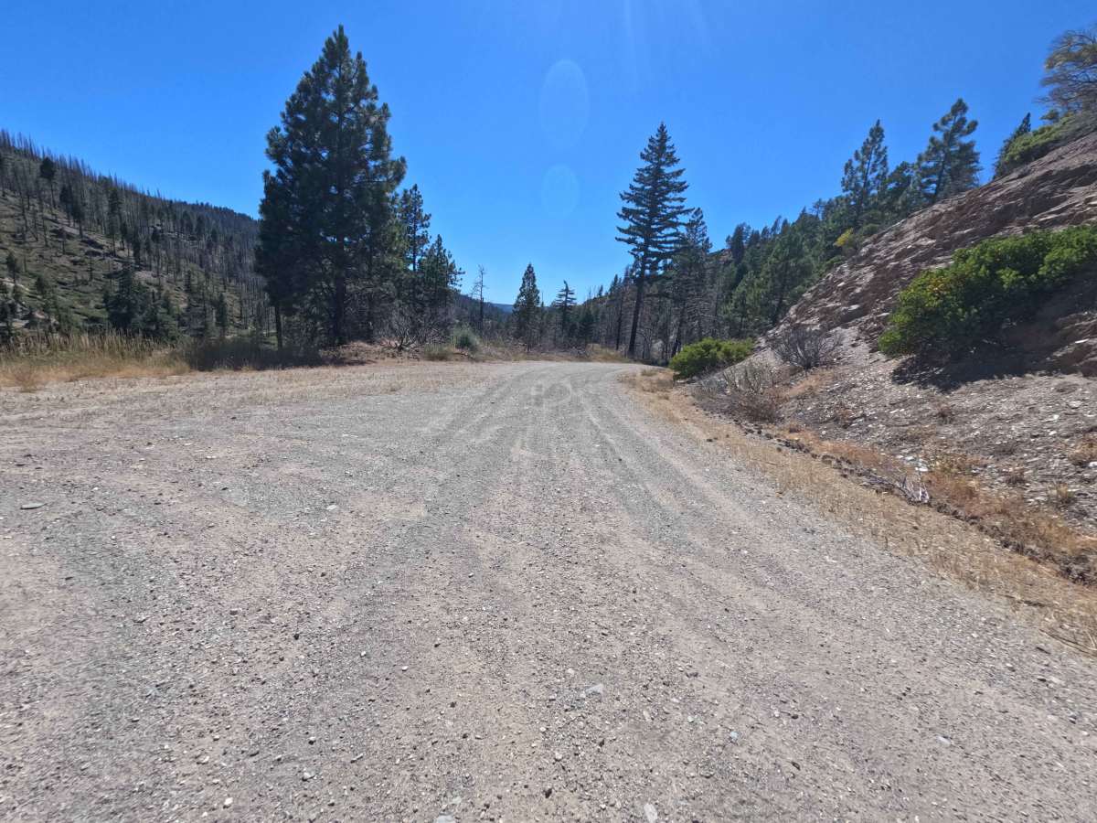
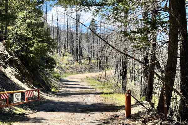
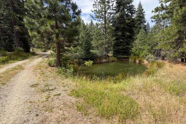
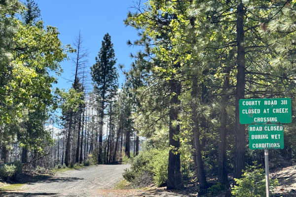
Accessed directly off Forest Road M3, Markham Ridge - FS 21N06 is a scenic out-and-back forest spur that winds gracefully along the contours of a high mountain ridge. Located within Mendocino National Forest, the route passes through a lush evergreen forest offering stunning, panoramic vantage points overlooking the surrounding valleys and mountain ranges. The roadway features a smooth, single-lane graded gravel and hardpack surface that gently descends along the ridge, maintaining a Technical Rating of 1. Along the way, several quiet pullouts and flat clearings—located near 1.6 miles, 5.2 miles, and 6.0 miles—provide prime dispersed camping opportunities for up to three vehicles per site. The main maintained road concludes at 8.8 miles, where an unmarked and very narrow pathway climbs steeply ahead. Off-road travelers frequently venture down this peaceful mountain trail to secure picturesque campsites, enjoy continuous scenic overlooks, or take a relaxing backcountry drive.
Difficulty
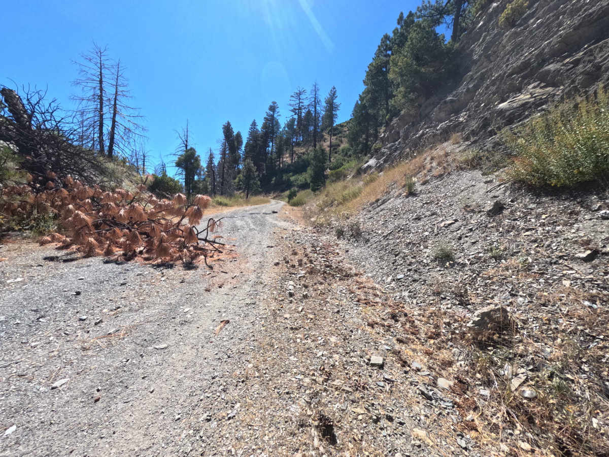
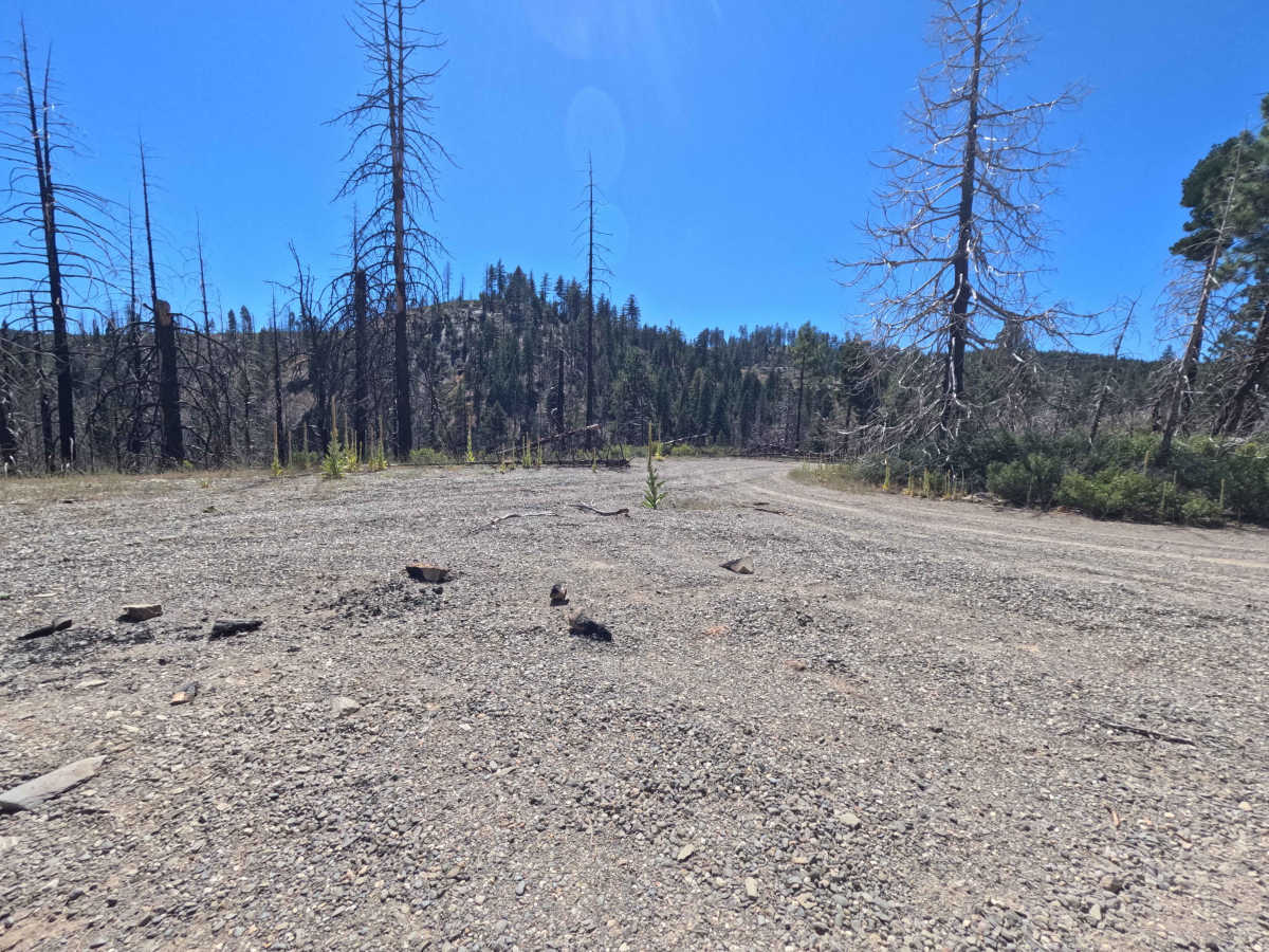
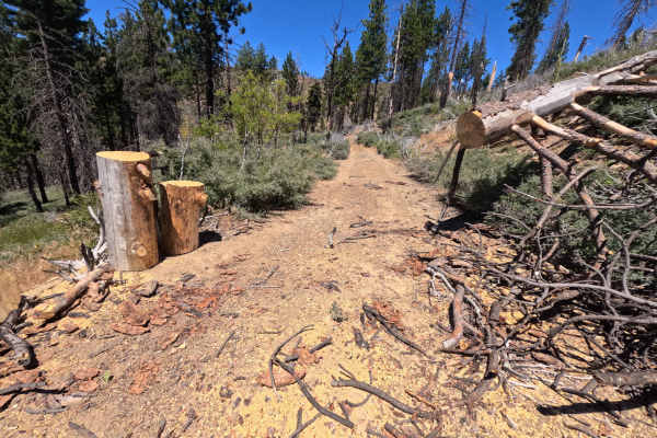
Earning a gentle Technical Rating of 1, this forest route consists primarily of a well-groomed gravel and dirt surface that poses minimal driving challenge. The track slightly transitions to a rockier bed near the 4.1-mile mark before continuing smoothly. Drivers should remain alert around 4.5 miles for a minor, hard-to-see transverse rut that appears suddenly on the approach. The route ends at 8.8 miles; drivers must avoid attempting the unmarked, narrow, and off-camber trail continuation past the turnaround point, as that section is unmaintained and suitable only for quads or dirt bikes.

 Offroad