Trail Overview
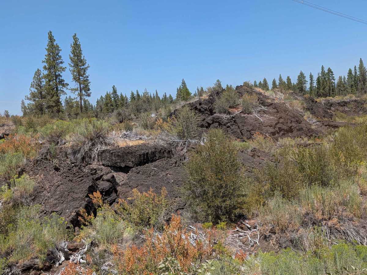
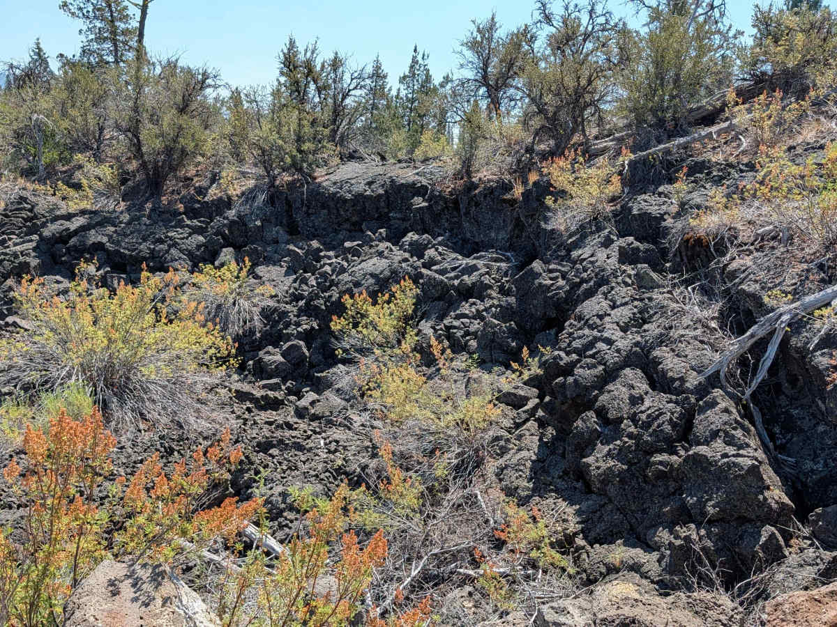
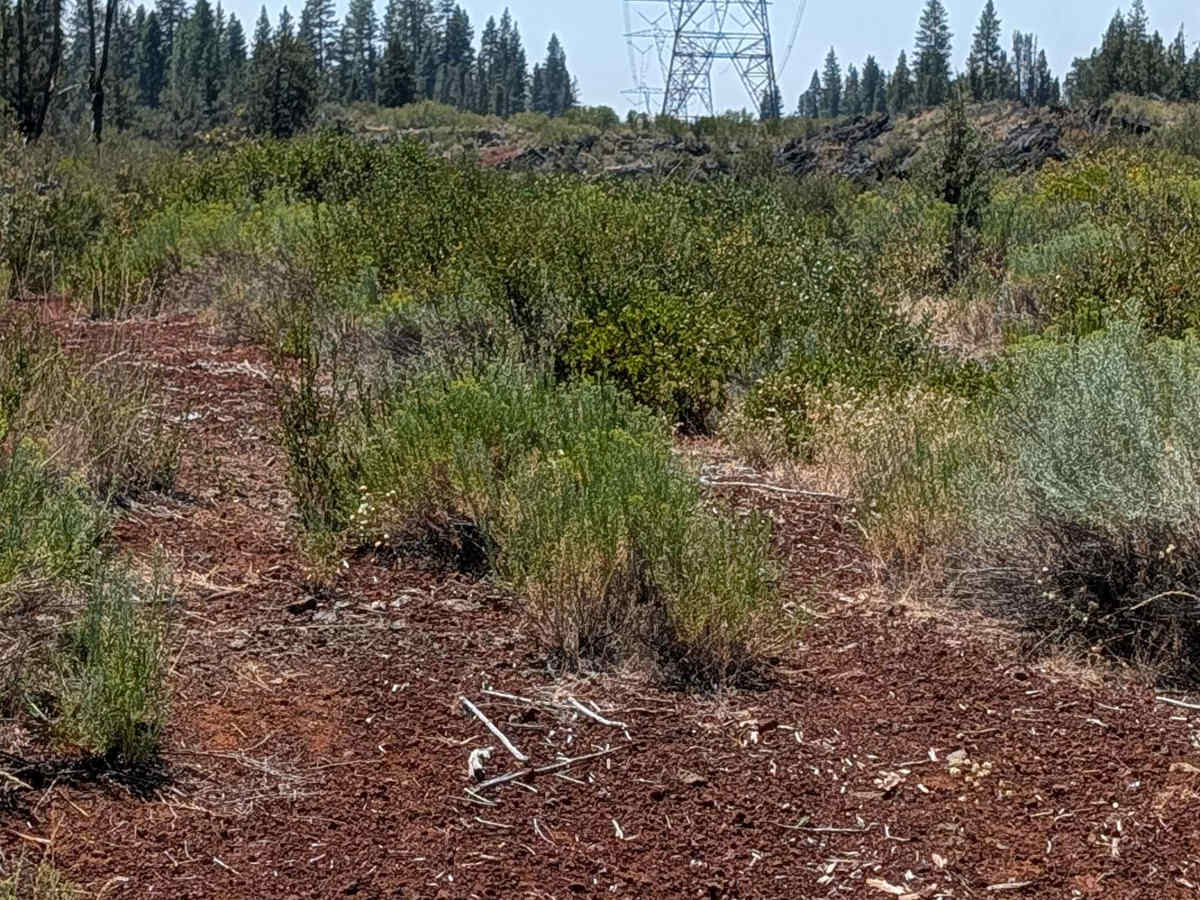
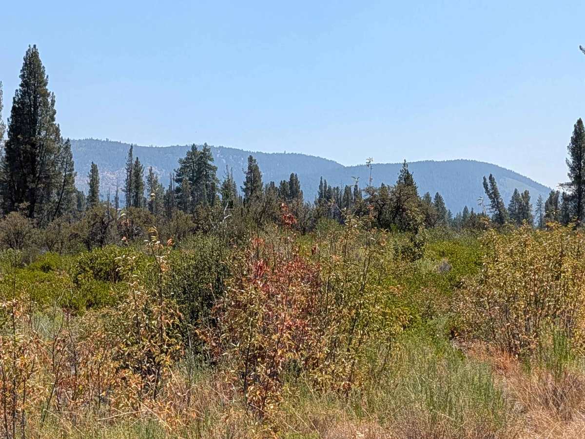
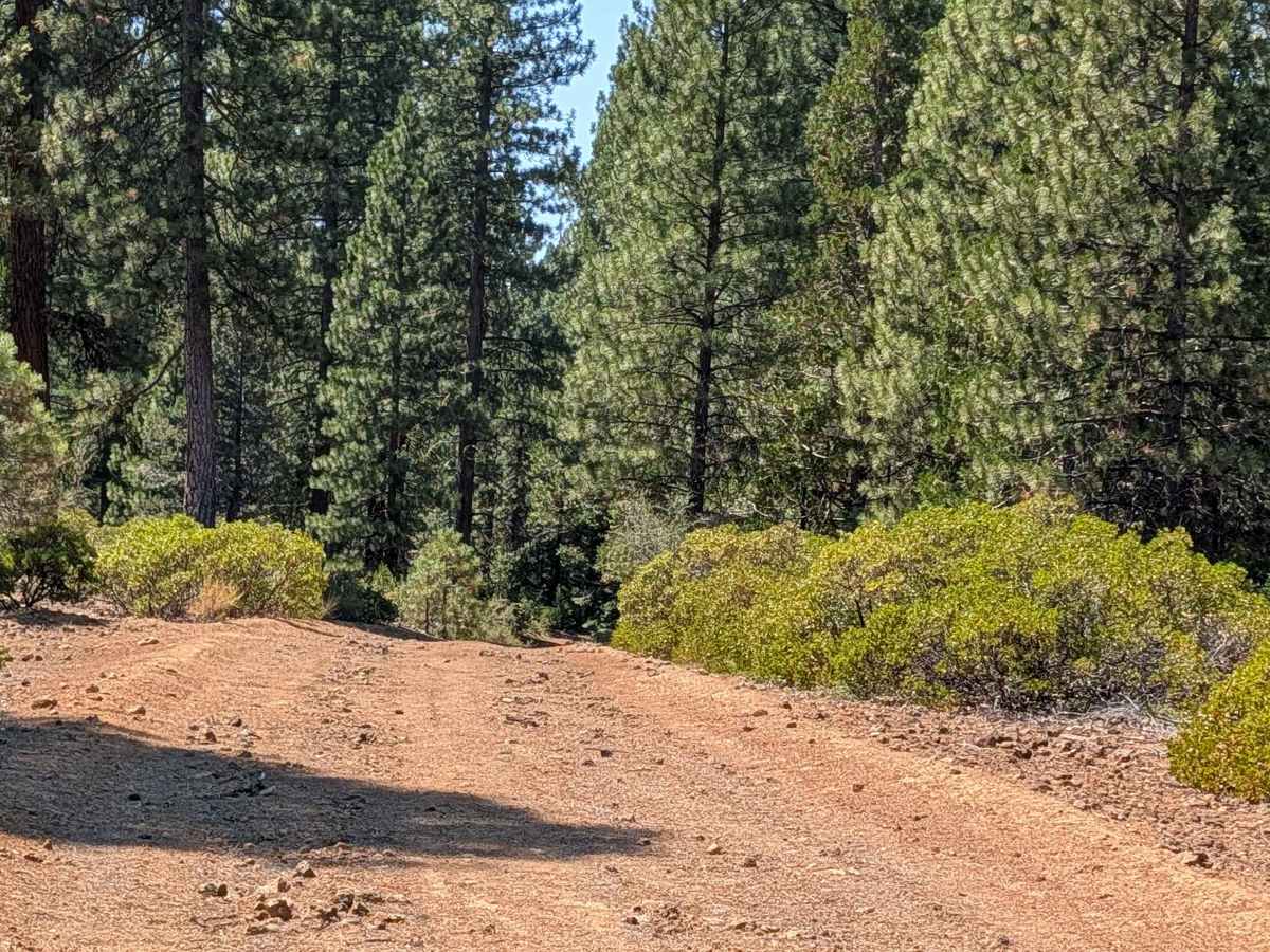
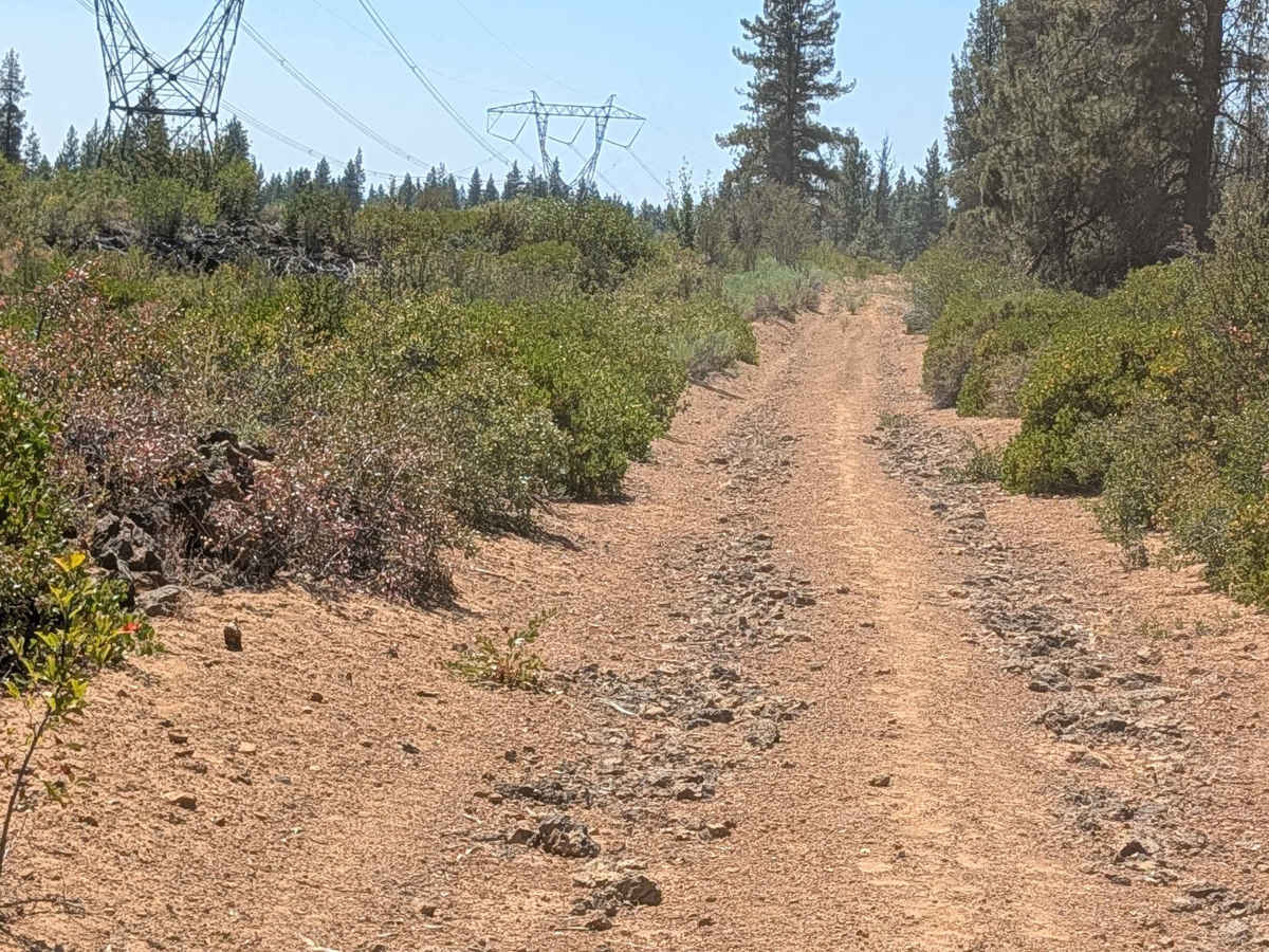
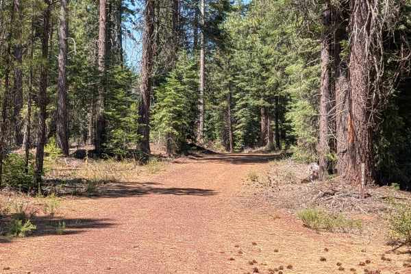
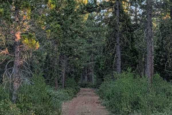
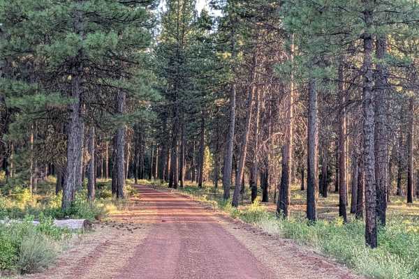
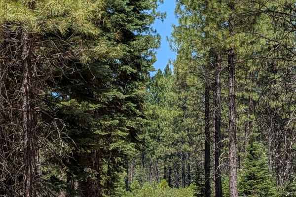
This 2+ mile point to point trail runs along large power lines, giving access to towers 245 and 249, which is where the Forest Service name comes from. It also connects Porcupine Butte South - FS 41N36 with Stud Hill South - FS 42N26. The surface is crushed red dirt, staying one vehicle wide, and surrounded by manzanita that has started encroaching on the trail. Volcanic rock formations appear throughout, and this trail actually stands out as one of the best spots in the area to see black volcanic rock up close. This is a fun, windy trail that rolls up and down some small hills. A couple of these hills feature loose rock and dirt where Four Wheel Drive comes in handy. Some sections bring small volcanic rocks onto the road, adding a bumpy quality to the ride, and a bit of overgrown vegetation fills the median in places. In a few spots, the fine dirt shifts to a more sand-like texture. The trail climbs almost 160 feet overall, rewarding drivers with some nice views of the surrounding mountains along the way.
Difficulty
This trail carries an easy difficulty rating 2, with the loose rock hills where four wheel drive helps, the bumpy volcanic rock sections, and the manzanita encroachment being the main considerations.