Porcupine Butte South - FS 41N36

Total Miles4
Technical Rating
1Easy
Best TimeFall, Summer, Spring
Trail TypeFull-Width Road
Accessible By
Open Trail Map

Trail Overview

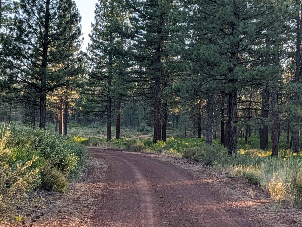
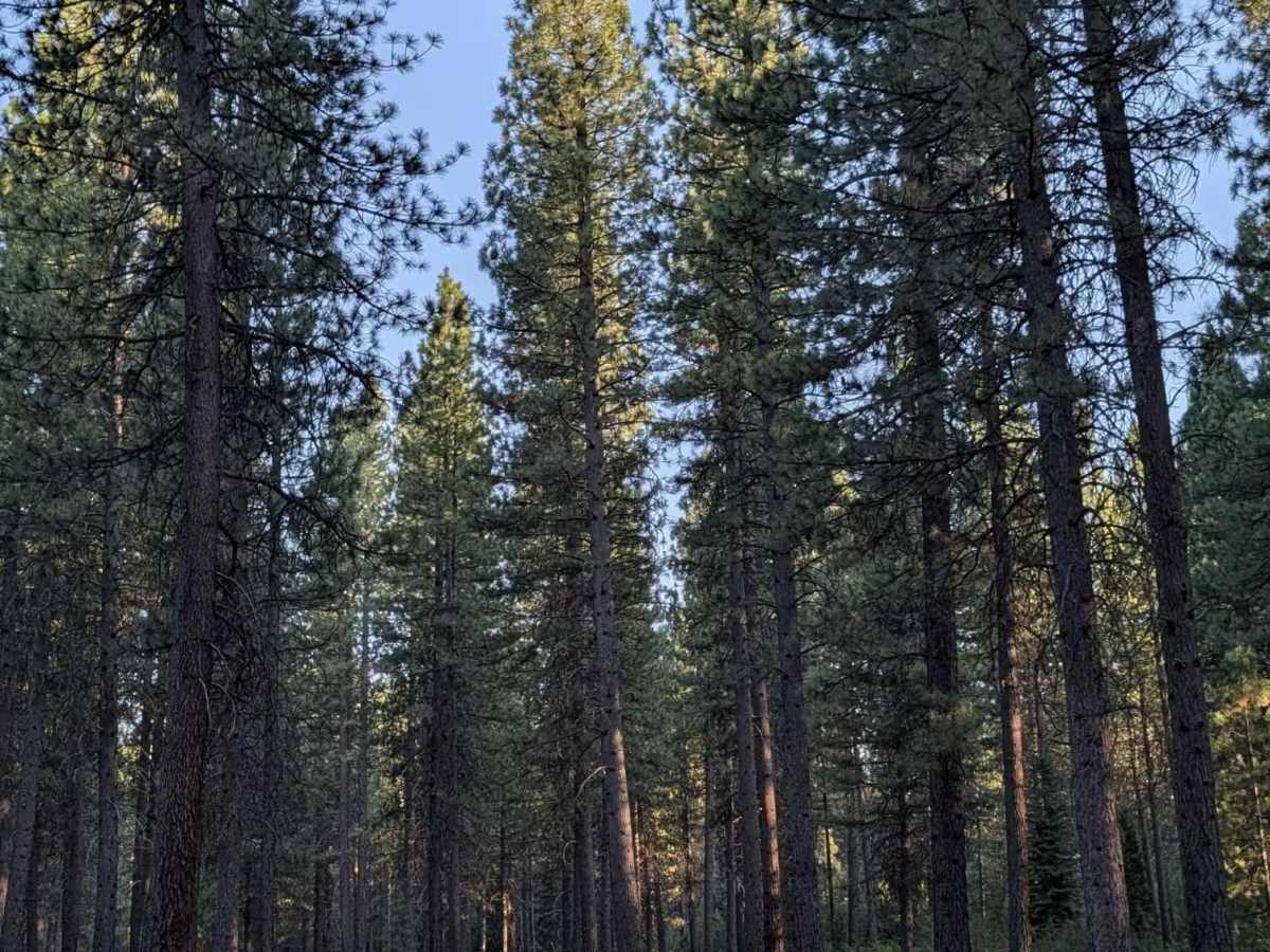
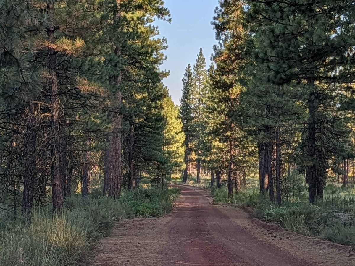
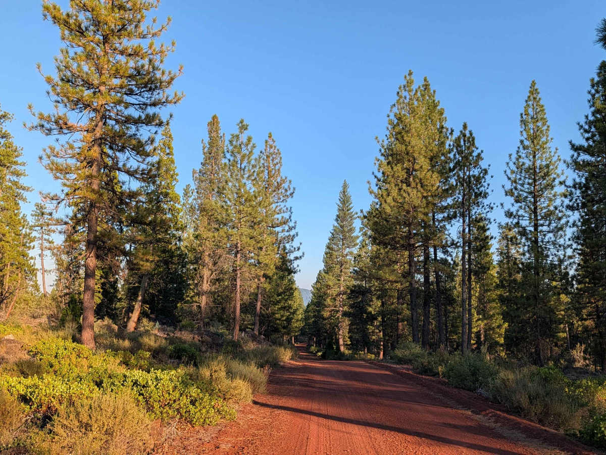
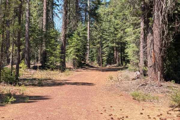
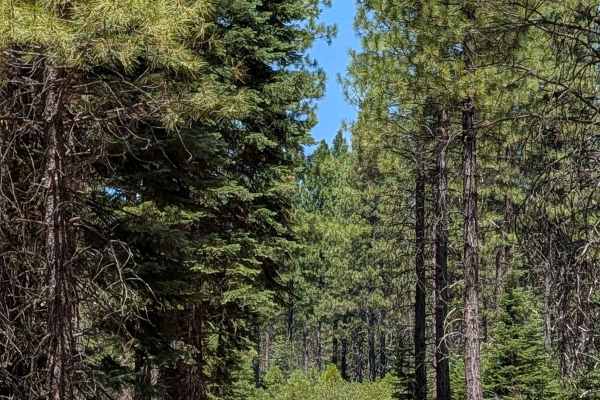
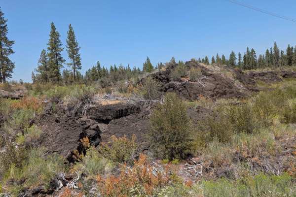
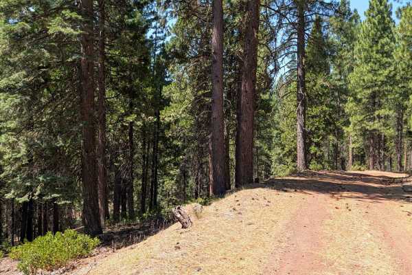
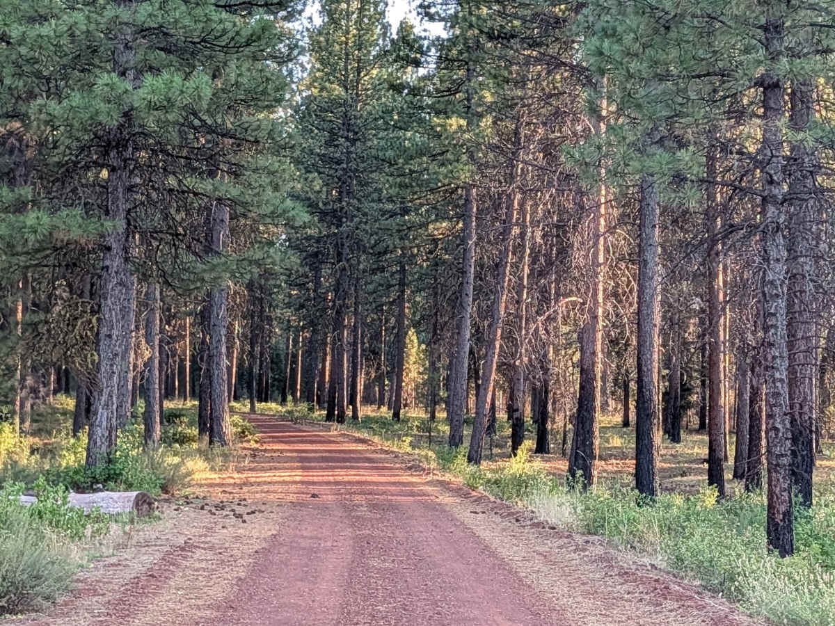
This 4-mile point-to-point route starts at Old Camp 2 on the south side and runs through the Shasta National Forest. The road is surrounded by medium-aged pine trees, sparser here compared to other areas, along with lots of manzanita bushes. Ground cover varies throughout, with some sections left heavy and others thinned. The south side of the trail opens up further, with fewer trees and more bushes, revealing views of the surrounding hills. The trail stays 1.5 to 2 vehicles wide, with a surface of dirt and gravel that gets very dusty at times, so use caution when following other vehicles. Lots of lava rock piles appear along the route.

Photos of Porcupine Butte South - FS 41N36

Difficulty

This trail carries an easy difficulty rating of 1, reflecting its wide, stable surface with no significant obstacles.

Technical Rating

1

Porcupine Butte South - FS 41N36 Trail can be accessed by the following ride types:

  • High Clearance
  • Full Width

Porcupine Butte South - FS 41N36 Map

The onX Offroad Difference

onX Offroad combines trail photos, descriptions, difficulty ratings, width restrictions, seasonality, and more in a user-friendly interface. Available on all devices, with offline access and full compatibility with CarPlay and Android Auto. Discover what you're missing today!

Open Trail Map