Porcupine - FS 42N46

Total Miles2.3
Technical Rating
2Easy
Best TimeSummer, Spring, Fall
Trail TypeFull-Width Road
Accessible By
Open Trail Map

Trail Overview

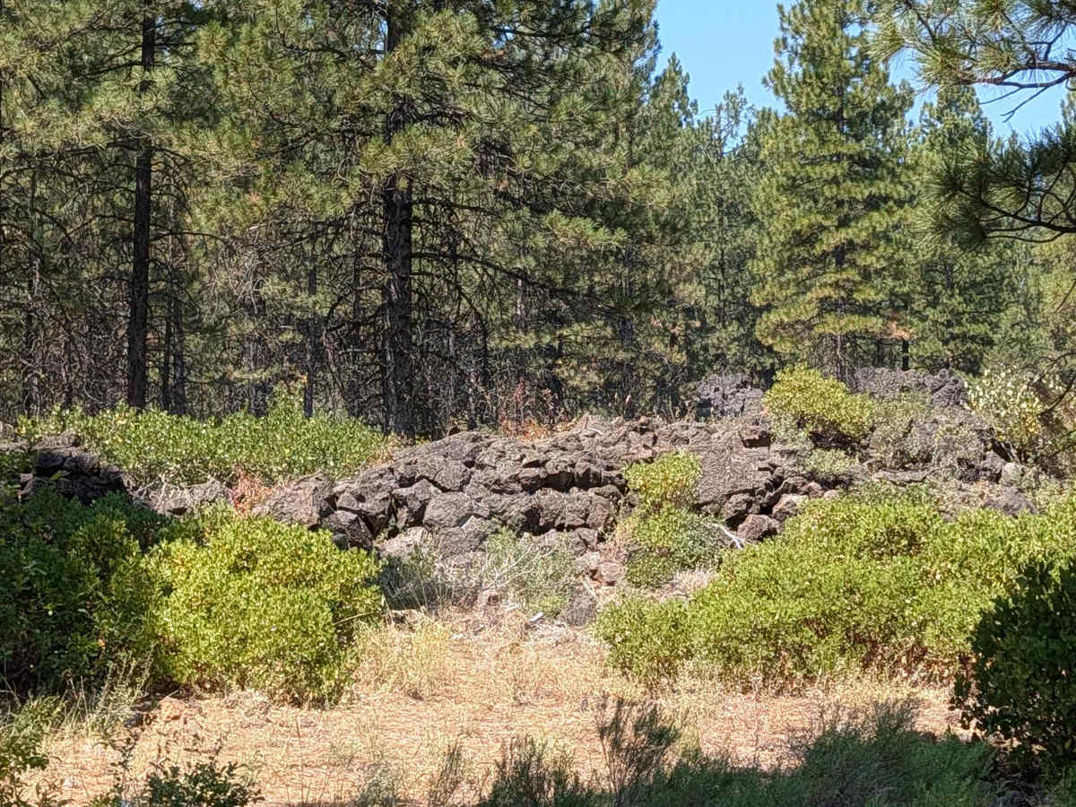
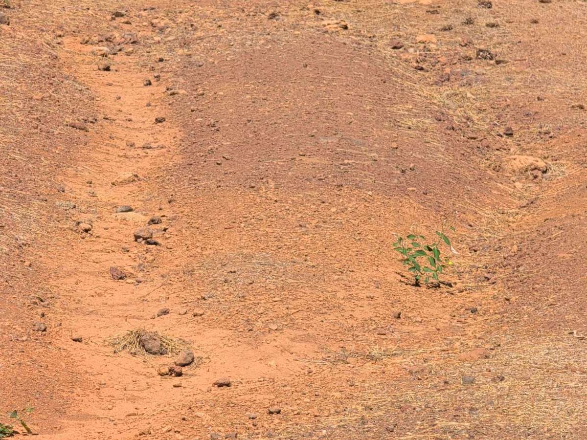
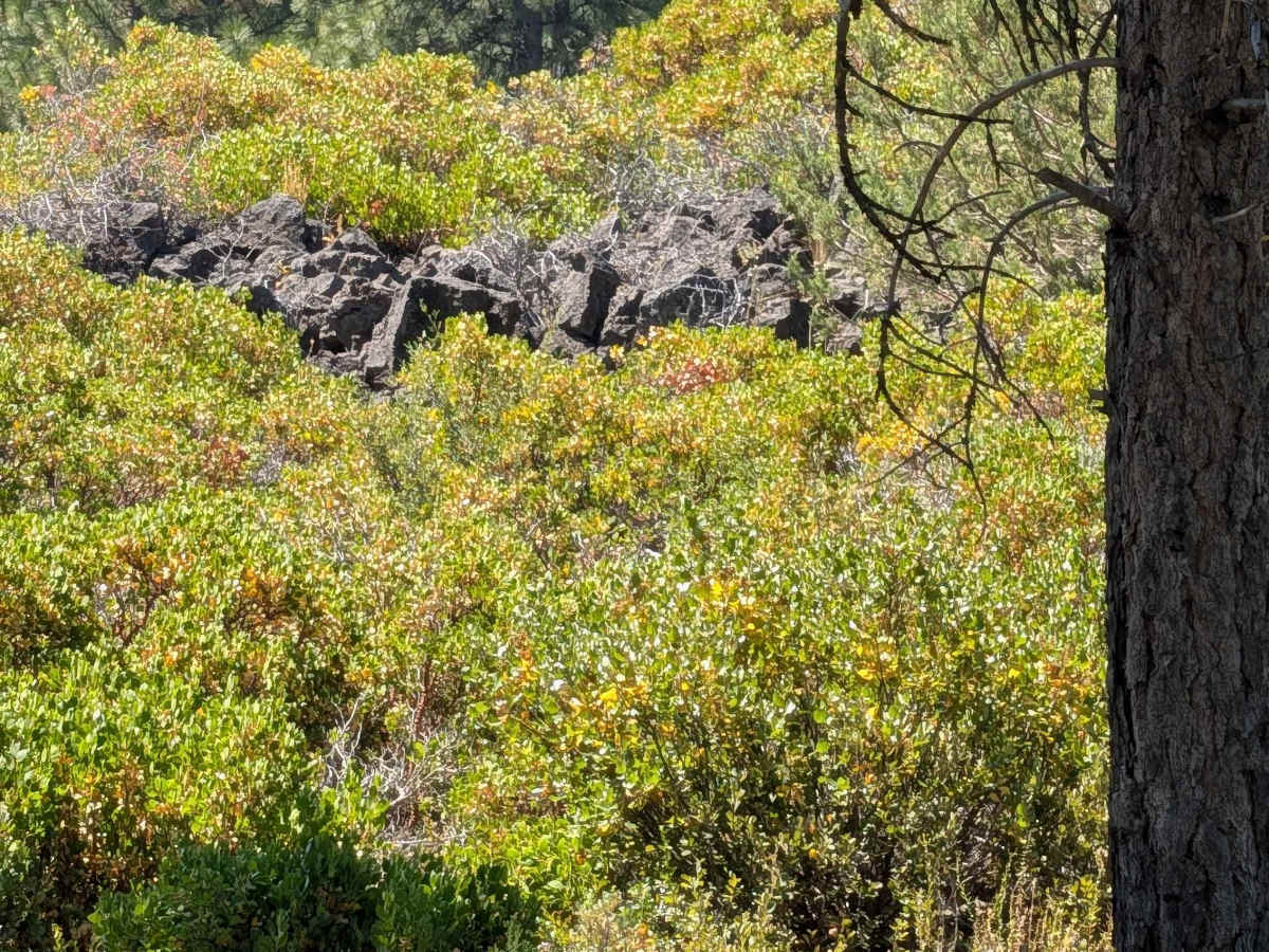
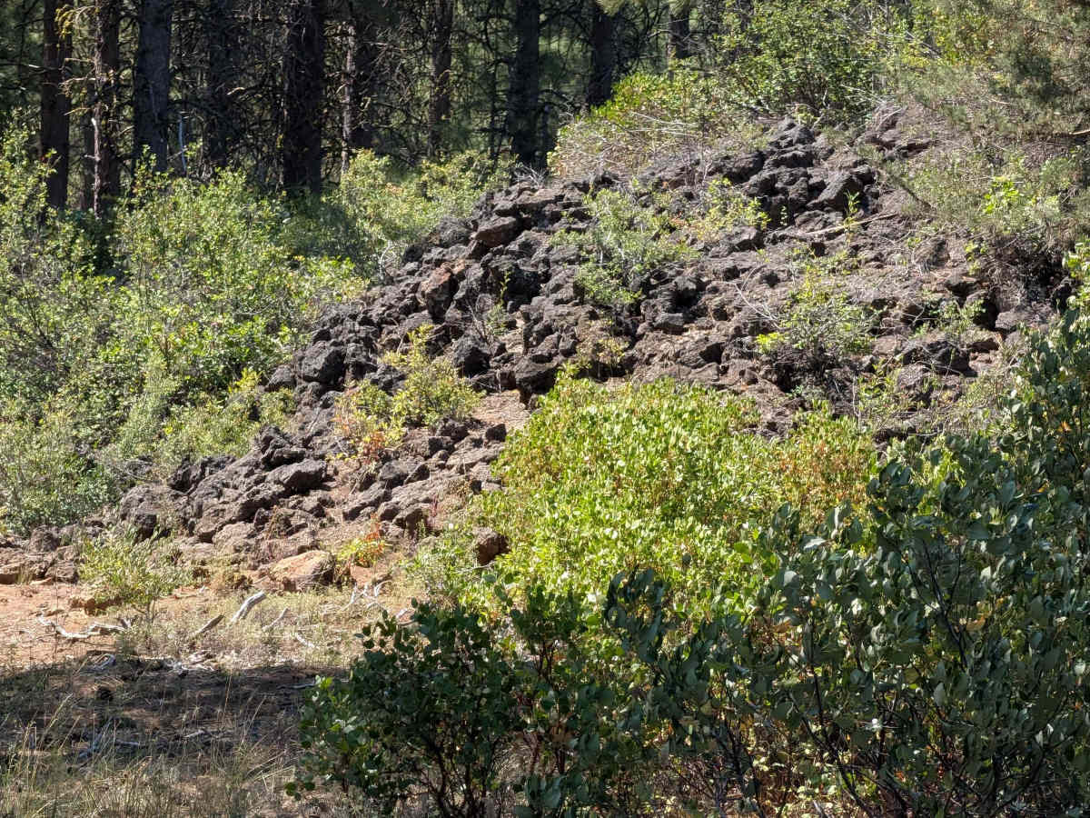
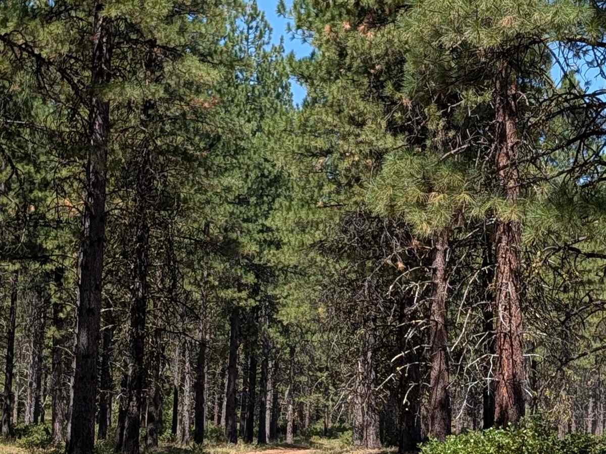
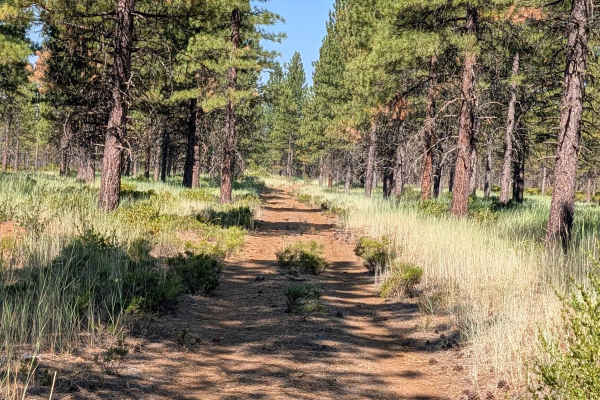
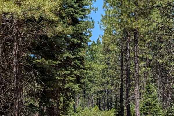
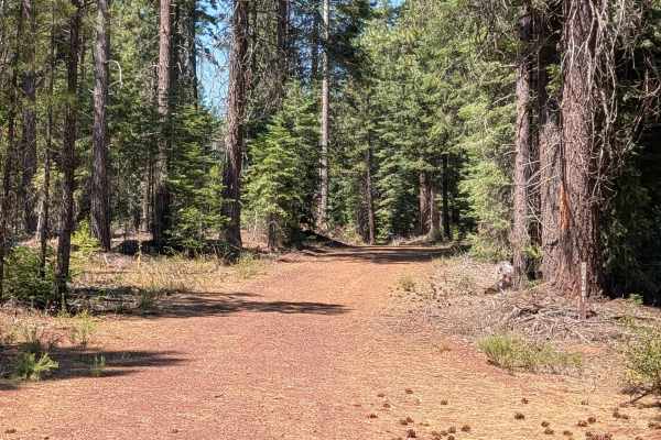
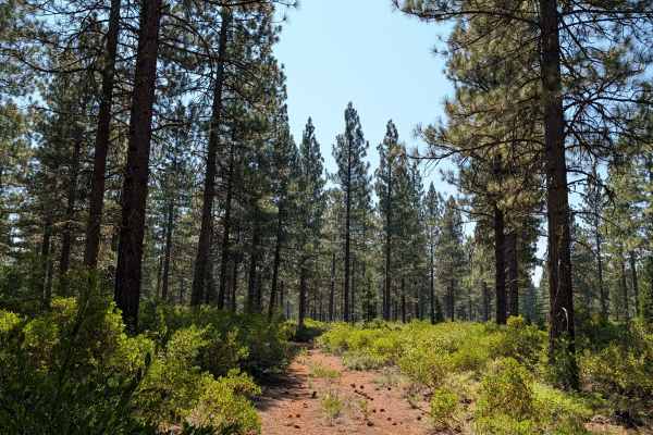
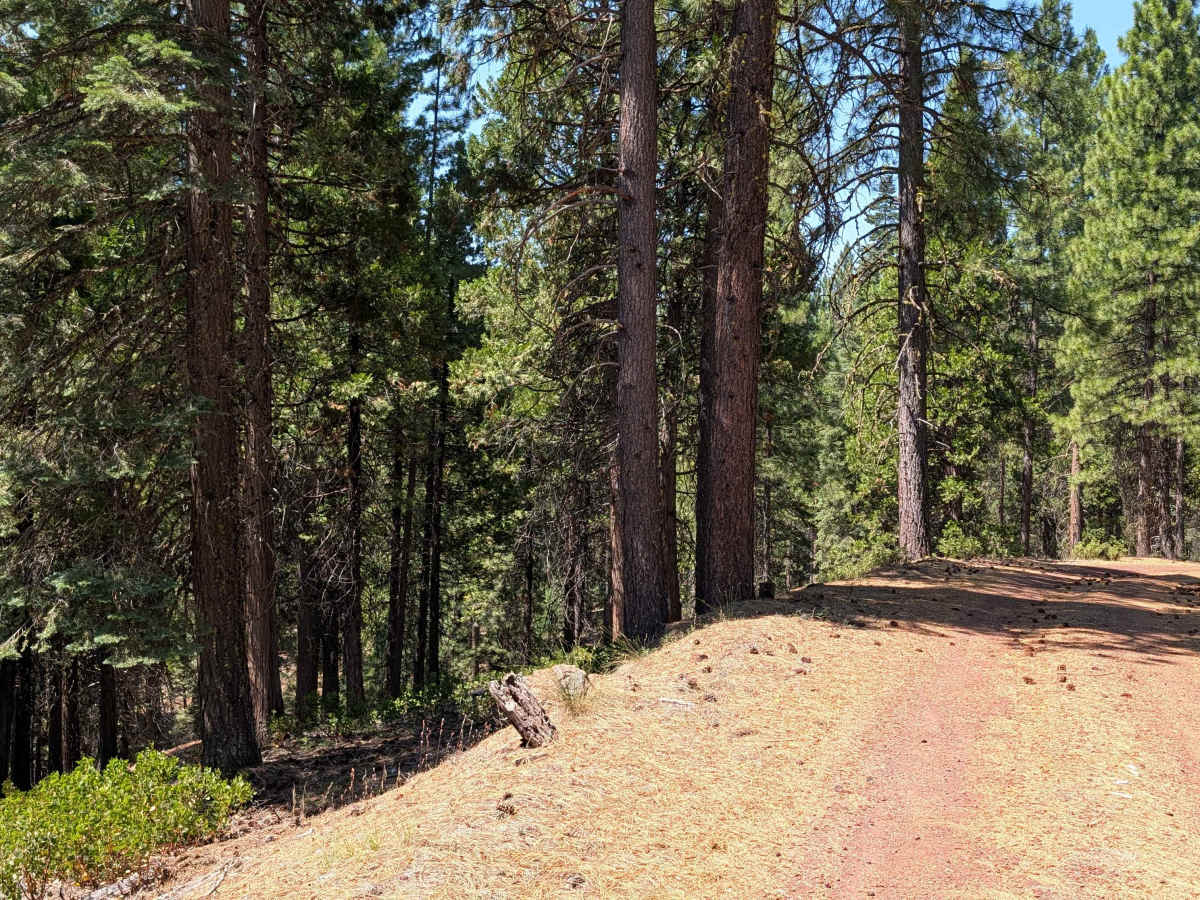
This 2.3-mile point-to-point trail connects Porcupine Butte South - FS 41N36 with Stud Hill North and South, providing a convenient route between the two areas. Along the way, the route climbs nearly 200 feet and descends less than 100 feet through new-growth pine forest within Shasta National Forest. The widely spaced trees are surrounded by bitterbrush and scattered patches of smaller manzanita. The surface consists primarily of dusty dirt covered with dried pine cones and needles and can become especially dusty in dry conditions. Scattered volcanic rocks appear along the trail, with several volcanic rock formations visible along the route. Near the western end, the trail transitions onto a shelf road.

Photos of Porcupine - FS 42N46

Difficulty

This trail carries an easy difficulty rating of 2, with volcanic rocks along the trail and a shelf road section near the western end presenting the main considerations.

Technical Rating

2

Porcupine - FS 42N46 Trail can be accessed by the following ride types:

  • Single Track
  • 50 Inch
  • 60 Inch
  • High Clearance
  • Full Width

Porcupine - FS 42N46 Map

The onX Offroad Difference

onX Offroad combines trail photos, descriptions, difficulty ratings, width restrictions, seasonality, and more in a user-friendly interface. Available on all devices, with offline access and full compatibility with CarPlay and Android Auto. Discover what you're missing today!

Open Trail Map